The best walks and hikes around Fräschels
4.6
(731)
5,645
hikers
291
hikes
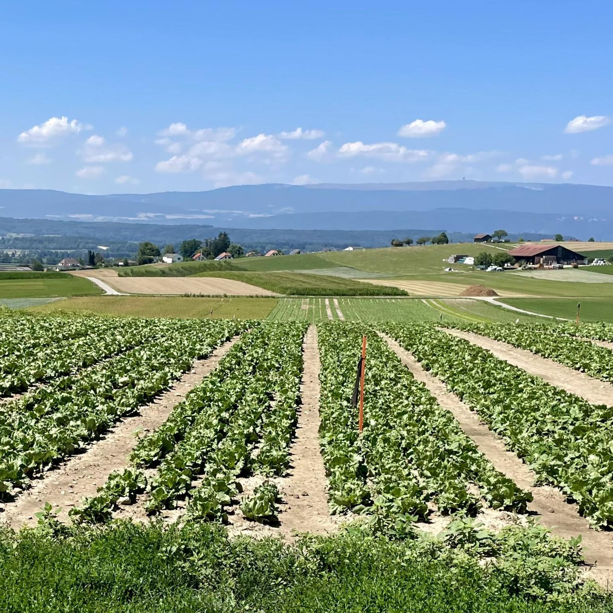
Hiking around Fräschels offers diverse landscapes, including the prominent Niederried Reservoir and tranquil woodland areas. The terrain varies from accessible paths to more challenging routes, catering to different fitness levels. The region's proximity to areas like the Jura & Three-Lakes and the Chasseral Natural Park suggests a mix of valleys, hills, and ridges.
Best hiking trails around Fräschels
- The most popular hiking route is Niederried Reservoir loop from Fräschels, a 4.9 miles (7.9 km) trail that takes 2 hours…
Last updated: June 27, 2026
5.0
(1)
7
hikers
7.94km
02:09
110m
110m
Moderate hike. Good fitness required. Easily-accessible paths. Suitable for all skill levels.
12
hikers
5.25km
01:23
40m
40m
Easy hike. Great for any fitness level. Easily-accessible paths. Suitable for all skill levels.

Sign up for free
4.5
(2)
10
hikers
10.9km
02:58
160m
160m
Moderate hike. Good fitness required. Easily-accessible paths. Suitable for all skill levels.
6
hikers
6.26km
01:41
80m
80m
Easy hike. Great for any fitness level. Easily-accessible paths. Suitable for all skill levels.
4.3
(3)
33
hikers
16.9km
04:32
200m
200m
Moderate hike. Good fitness required. Easily-accessible paths. Suitable for all skill levels.
Get access to more routes and recommendations from other explorers.
Sign up for free
Already have an account?
Our route recommendations are based on thousands of hikes, rides, and runs completed by other people on komoot.
Start today with a free account
Your next adventure awaits.
Login or Signup
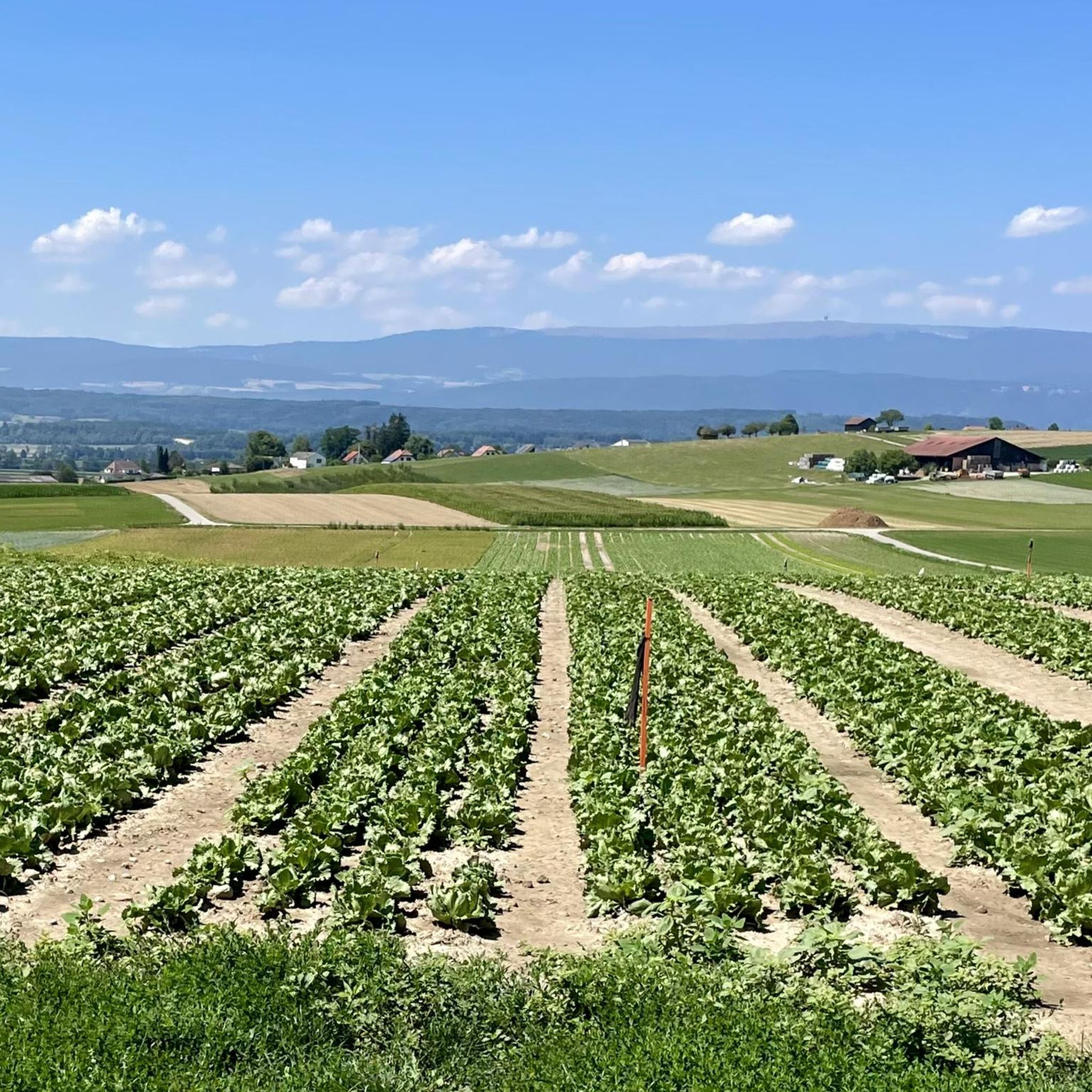
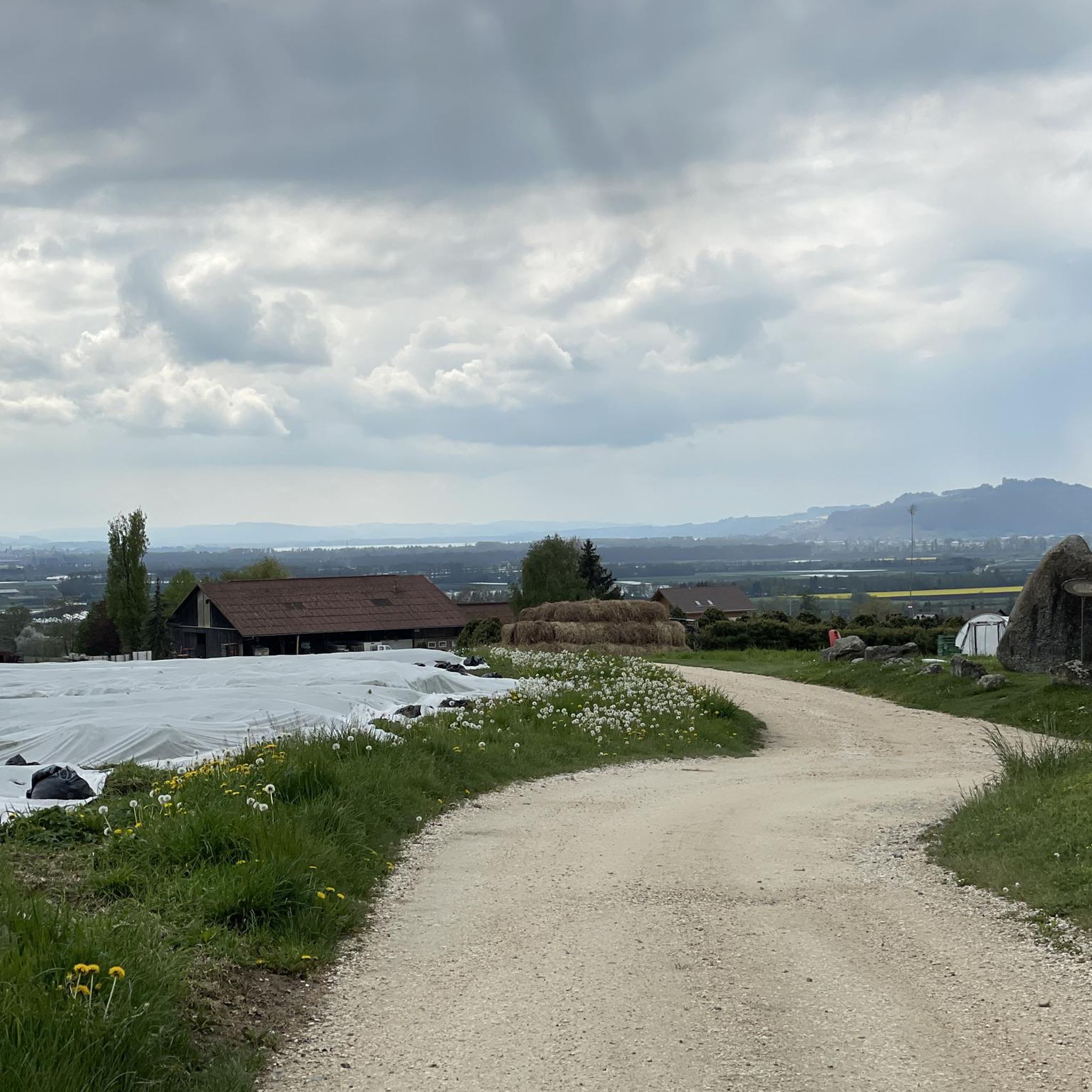
Tips from the Community

Absolute holiday feeling! The Aare is wide and calm here. Great for SUP
0
0

Superb section in the hills
0
0

Here you have one of only a few opportunities to cross the Aare. The bridge also offers a good view of the river and the surrounding area.
0
0

There is a lot to discover on the exciting riverside path
0
0
Here you have one of only a few opportunities to cross the Aare. The bridge also offers a good view of the river and the surrounding area.
0
0
One of the few ways to cross the Aare.
0
0

The crossing between the BLS and SBB lines. Bern to Neuchatel, Moudon to Lyss
1
0

Hill - with the most beautiful view of the Chasseral to Lake Murten. Park bench available for a rest. Accessible on both sides on the concrete runway.
2
0
Frequently Asked Questions
How many hiking trails are available around Fräschels?
Fräschels offers a wide selection of hiking trails, with over 300 routes to explore. These include approximately 160 easy trails, 134 moderate routes, and 8 more challenging options, catering to various fitness levels.
Are there easy hiking options suitable for beginners or families?
Yes, Fräschels has over 160 easy hiking trails perfect for beginners or families. An excellent option is the Hiking loop from Gurbrü, which is about 6 km long and features minimal elevation gain, making it a pleasant stroll for all ages.
What kind of terrain can I expect on the hiking trails in Fräschels?
The terrain around Fräschels is quite varied. You'll find waterside paths, particularly around the Niederried Reservoir, tranquil woodland areas, and a mix of flatter sections and gentle ascents. The region's proximity to areas like the Jura & Three-Lakes suggests a diverse landscape with valleys, hills, and ridges.
Are there any circular hiking routes in Fräschels?
Many of the trails in Fräschels are circular, offering convenient starting and ending points. A popular choice is the Niederried Reservoir loop from Fräschels, which is a moderate 7.9 km route providing scenic water views. Another great option is the Schuelwald loop from Golaten, a 10.9 km moderate path through varied terrain.
What natural features or landmarks can I see along the trails?
The most prominent natural feature is the Niederried Reservoir, with many trails offering scenic views and waterside paths. You'll also encounter peaceful woodland areas, such as those found on the Woodland Rest Area loop from Kallnach. Additionally, the region is known for its geological formations; you can explore nearby Grey Rock Caves or the Lobsigen Sandstone Caves.
Is Fräschels a good place for dog-friendly hikes?
Yes, Fräschels is generally welcoming for dog owners, with many trails suitable for walks with your canine companion. The diverse landscapes, including woodlands and open paths, provide plenty of opportunities for dogs to enjoy the outdoors. Always ensure your dog is on a leash where required and respect local wildlife.
What do other hikers enjoy most about hiking in Fräschels?
The hiking trails in Fräschels are highly rated by the komoot community, with an average score of 4.6 stars from over 650 reviews. Hikers often praise the diverse landscapes, particularly the scenic views around the Niederried Reservoir, and the well-maintained paths that cater to various skill levels. The tranquility of the woodland areas is also frequently highlighted.
Are there any longer or more challenging routes for experienced hikers?
While most routes are easy to moderate, there are a few longer options for those seeking more of a challenge. The Historic Kerzers Signal Box – Niederried Reservoir loop from Kerzers is a moderate 16.9 km trail that takes about 4 hours 30 minutes to complete, offering a more extended exploration of the reservoir area.
When is the best time of year to go hiking in Fräschels?
Fräschels offers enjoyable hiking experiences throughout much of the year. Spring brings lush greenery and blooming flora, while autumn showcases vibrant fall colors in the woodlands. Summer is ideal for longer days and warmer weather, though some paths may be less shaded. Winter hiking is also possible, especially on easier, well-maintained routes, offering a different, serene perspective of the landscape.
Are there options for public transport to reach the hiking trails?
While specific public transport details for every trailhead vary, Fräschels and nearby towns are generally accessible by local bus services. It's advisable to check local transport schedules to plan your journey to the starting points of your chosen hiking routes.
Is parking available near the trailheads in Fräschels?
Yes, parking is typically available at or near many of the trailheads in and around Fräschels, especially in the main village and at popular starting points for routes like those around the Niederried Reservoir. Look for designated parking areas, which may sometimes be subject to a small fee.
Most popular routes around Fräschels
Most popular attractions around Fräschels

Get inspired with the komoot mobile app


Explore more
Browse the best Hikes in other regions.
