The 20 Most Amazing Peaks around Großkirchheim
Best mountain peaks around Großkirchheim are found in the Hohe Tauern National Park, a region situated over 1,000 meters above sea level. This area provides access to a diverse range of mountain peaks, offering varied experiences for hikers and mountaineers. The landscape features unspoiled natural areas, waterfalls, and forests. It is known for its well-developed hiking trails and routes.
Best mountain peaks around Großkirchheim
- The most popular mountain peaks is Kaiser Franz Josef's Viewpoint, a viewpoint located on the…
Last updated: October 9, 2026
Böses Weibl
Highlight • Summit
From the conical summit you …
Translated by Google •
Tip by

Kaiser Franz Josef's Viewpoint
Highlight • Viewpoint
Translated by Google •
Tip by

Sign up now to discover places like this
Get recommendations on the best single tracks, peaks, & plenty of other exciting outdoor places.
Hochtor Pass and Tunnel
Highlight • Mountain Pass
Translated by Google •
Tip by

Figerhorn Summit
Highlight • Summit
Translated by Google •
Tip by

Lucknerhaus
Highlight • Mountain Hut
Translated by Google •
Tip by

Sign up for free to discover even more peaks around Großkirchheim.
Already have an account?
Start today with a free account
Your next adventure awaits.
Popular around Großkirchheim
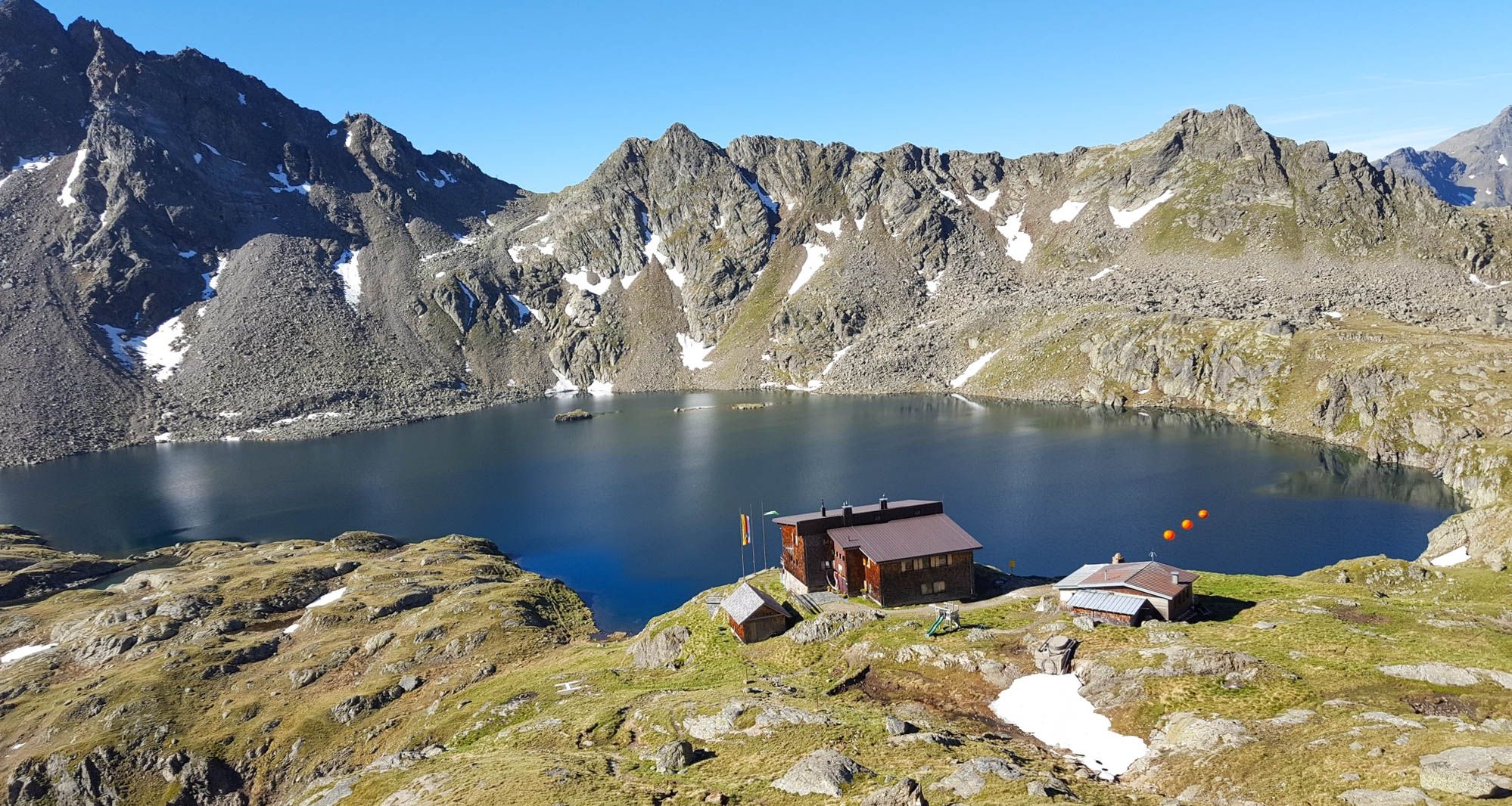
Wiener Höhenweg in Austria – 6 stages in the Schober Group

Alpe-Adria-Trail: My long-distance hike from the glacier to the sea
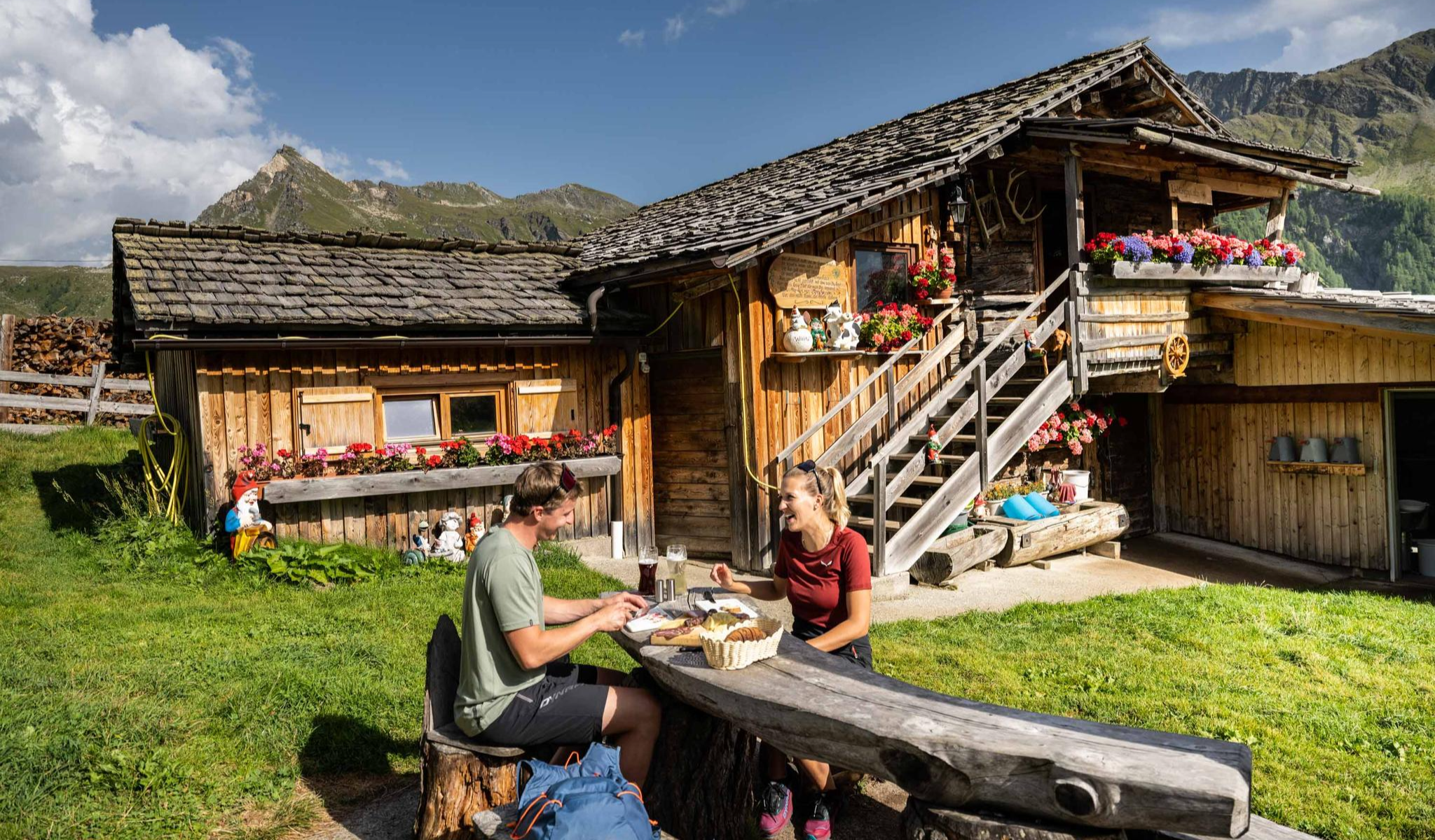
Peak happiness – hut hikes in the High Tauern
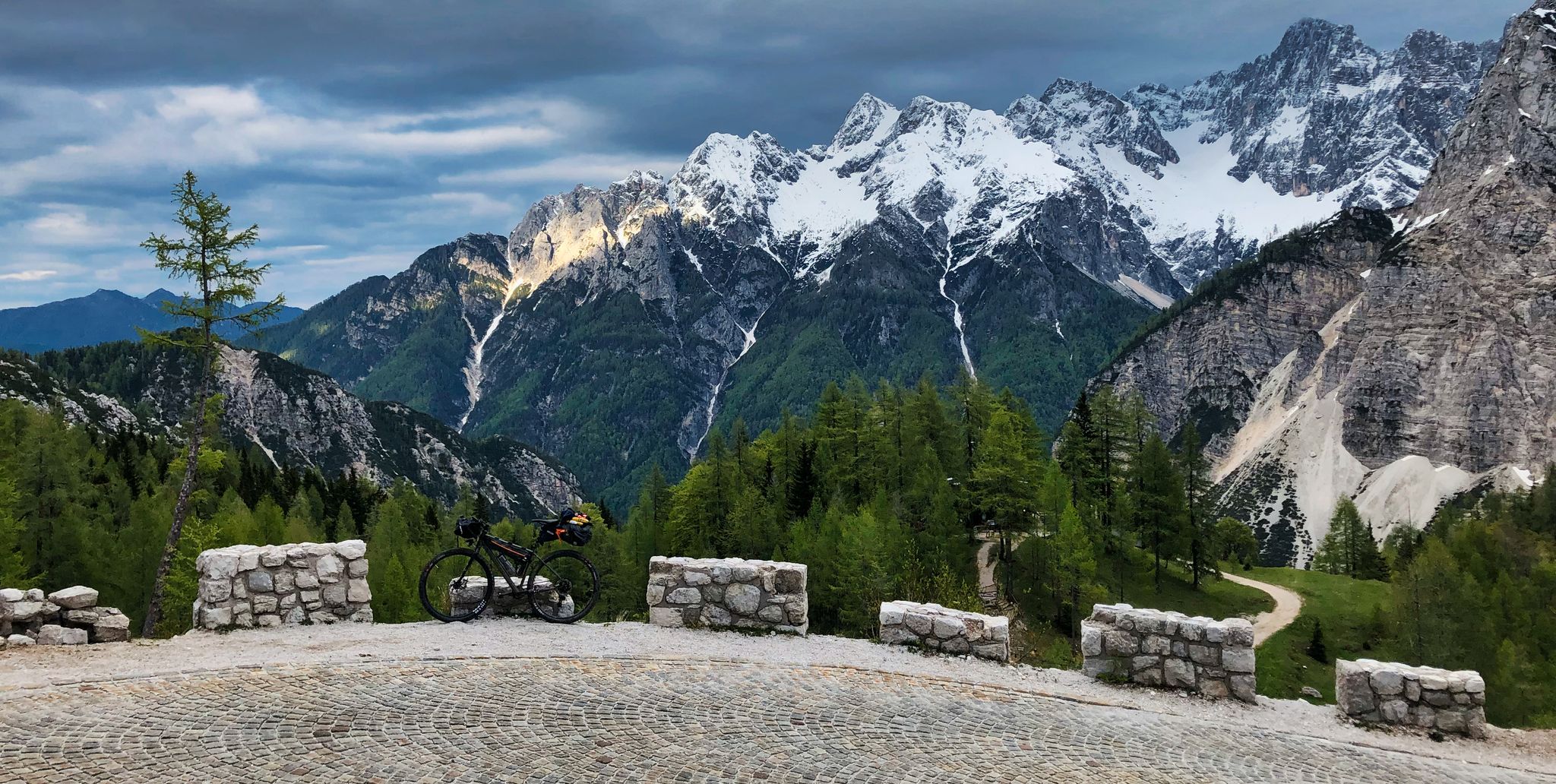
My first bikepacking trip – four countries, joys and mistakes

An alpine adventure – from east to west through Austria

From the Grossglockner to the sea on the Alpe Adria Trail
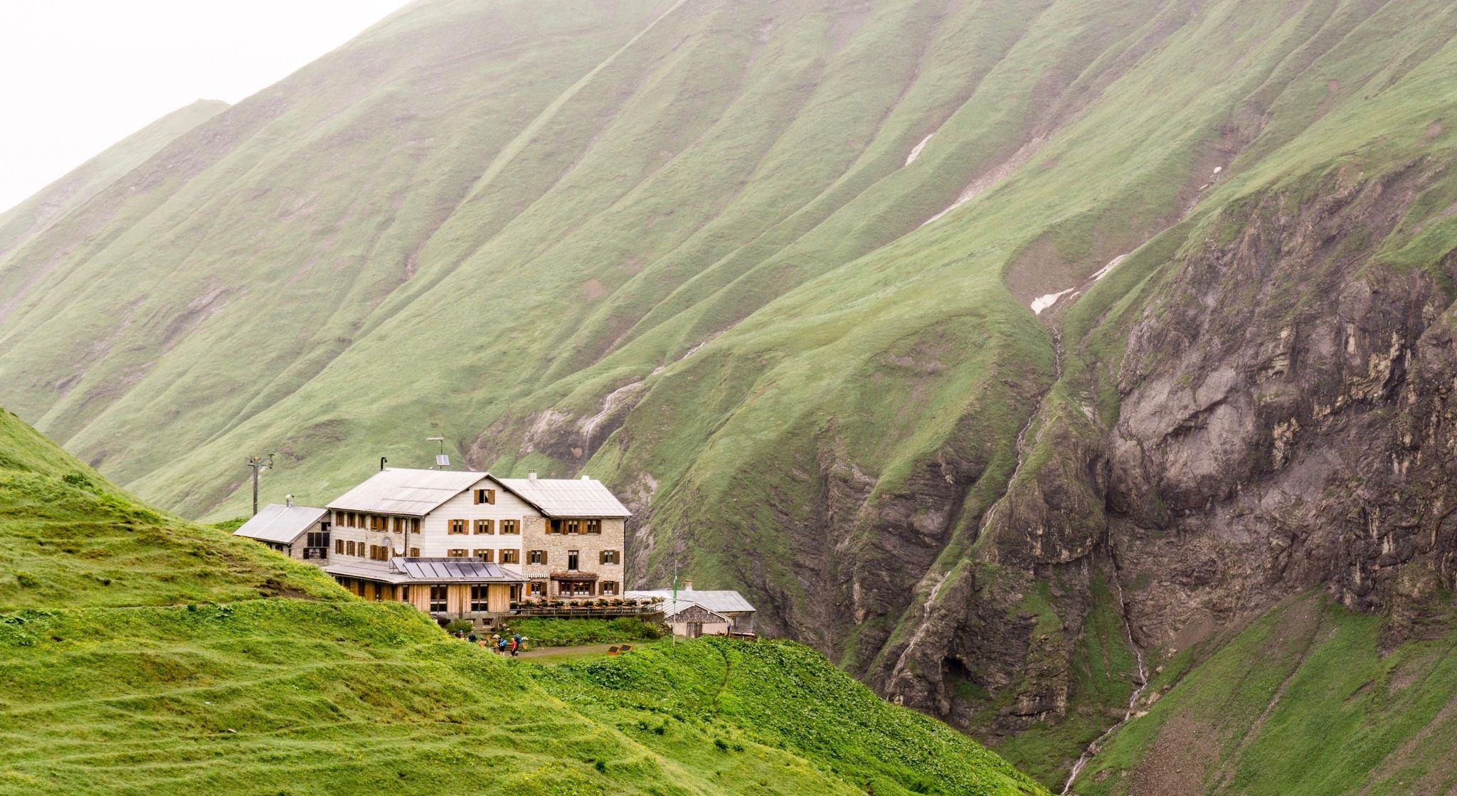
Huts for romantic getaways
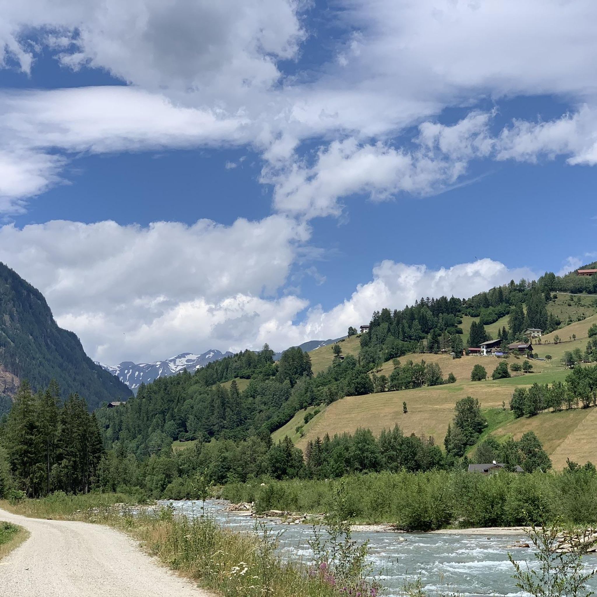
Hiking around Großkirchheim
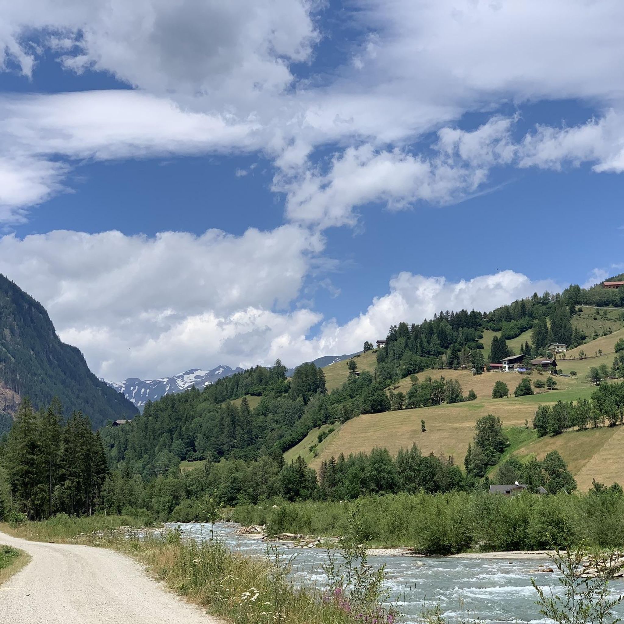
Road Cycling Routes around Großkirchheim
Mountain Hikes around Großkirchheim
Other adventures around Großkirchheim


Tips from the Community

One of the major transnational long-distance hiking trails in this region is the "ALPE-ADRIA-Trail", which leads from the Großglockner over the Nockberge Mountains to Slovenia and further south of Trieste, then to the Mediterranean Sea. Anyone who would like to take a closer look at the first glimpse can follow the route in the ARD media library: there is a two-part (one-hour total) documentary about this tour as part of the Bavarian television program "freizeit. Schmidt Max ...". with their scenic and cultural features. Link to Part 1: https://www.ardmediathek.de/video/freizeit/schmidt-max-wandert-1-2/br-fernsehen/Y3JpZDovL2JyLmRlL3ZpZGVvLzJiMWY5OTIwLWQxY2ItNDVlNy05NzUwLTk1ZDkxZDk2Y2Y4ZA Link to part 2: https://www.ardmediathek.de/video/freizeit/schmidt-max-wandert-von-den-alpen-zum-meer-2-2/br-fernsehen/Y3JpZDovL2JyLmRlL3ZpZGVvLzEyODRjYmFiLWUxNTUtNDM2Ny1iODQwLTA3MTY4OWM0YWNhOQ Of course, there is also a suitable hiking collection on Komoot itself: https://www.komoot.de/collection/314/grenzenlos-wandern-am-alpe-adria-trail
10
0

A sublime feeling to drive through the Hochtor to Carinthia, on the other hand the sun also feels more and more "Mediterranean".
2
0

On through Druchafrt to zell am see here a wonderful break!
7
0

Relatively easy to climb 3000m. The starting point for the mountain hike is the Alpengasthof Lucknerhaus, from there you can reach the summit in about 3 hours.
2
0

From here you have a direct beautiful view of the Großglockner.
9
2
On nice days you have a beautiful view of the Großglockner from here. From here you can easily climb to the Lucknerhütte or the Stüdlhütte. Hot meals from 11:30 a.m. to 8 p.m.
9
2

View of the Großglockner from the Lucknerhaus
4
1

Pass at the Grossglockner, but if you want to get to the top, you should go to the Edelweißspitze with a crisp cobblestone ascent
1
0
Frequently Asked Questions
What are some of the most rewarding mountain peaks to visit near Großkirchheim?
The region around Großkirchheim, nestled within the Hohe Tauern National Park, offers a diverse range of peaks. For an iconic experience, the Kaiser Franz Josef's Viewpoint on the Großglockner provides spectacular views of the Pasterze glacier. For a rewarding high-alpine challenge, consider the ascent to Roter Mann (3,097 m) or Sandkopf (3,090 m). If you're seeking panoramic vistas, Mohar is renowned for its wide-ranging views across the main Alpine ridge and even to the Dolomites.
Are there any family-friendly mountain experiences around Großkirchheim?
Yes, there are options suitable for families. The Kaiser Franz Josef's Viewpoint is easily accessible and offers facilities, making it a great choice for all ages. For a less strenuous mountain experience, the White Wall (2,342 m) offers an easy, recommended circular hike from Rieger Kaser.
What kind of views can I expect from the mountain peaks in this region?
The mountain peaks around Großkirchheim are celebrated for their unparalleled panoramic views. From peaks like Mohar, you can enjoy wide-ranging vistas across the entire main Alpine ridge and even catch glimpses of the Dolomites. Many summits, such as Böses Weibl and Figerhorn Summit, offer fantastic views of the Großglockner area and the surrounding Hohe Tauern mountains.
What are some challenging high-alpine peaks for experienced mountaineers?
For experienced mountaineers seeking a true high-alpine experience, the ascent to Roter Mann (3,097 m) involves navigating scree and rubble, offering a demanding route. Goldbergspitze (3,073 m) also provides a solitary experience with block and scree slopes. The Schober Group, which includes Petzeck, is known for its rugged 3,000-meter peaks, presenting a more challenging environment.
Are there any mountain huts or facilities available on the peaks?
Yes, for those undertaking more challenging ascents, the Zittelhaus on Hoher Sonnblick is a notable mountain hut located at 3,106 meters. It offers cozy dining rooms, beds, and dormitories, providing a welcome stop for hikers. It's advisable to check their operating seasons before planning your trip.
What outdoor activities can I do near these mountain peaks?
Beyond hiking and mountaineering, the Großkirchheim region offers various outdoor activities. You can explore the area with gravel biking, with routes like the 'Old Großglockner Road – View of the Fuscher Törl loop from Heiligenblut' available. Road cycling is also popular, featuring routes such as 'Maiden's Leap Waterfall – Hochtor Pass Summit (2,504 m) loop'. For mountain biking, consider trails like 'Gasthof Glocknerblick – Mölltal Cycle Path R8 loop'. You can find more details on these activities in the Gravel biking around Großkirchheim, Road Cycling Routes around Großkirchheim, and MTB Trails around Großkirchheim guides.
What is the highest point on the Grossglockner High Alpine Road?
The highest point on the Grossglockner High Alpine Road is Hochtor (2,504 m). It serves as a mountain pass and viewpoint, offering expansive views, though it can be quite windy and weather conditions can change rapidly.
Are there any easier 3,000-meter peaks to climb in the area?
Yes, Böses Weibl is considered one of the rather easy 3,000-meter peaks, making it a popular choice. The ascent involves beautiful mountain paths over alpine meadows before reaching scree and boulders near the summit. Similarly, Figerhorn Summit (2,742 m) is described as an 'amazingly easy tour on a great panoramic mountain'.
What natural features can I expect to see when visiting the peaks around Großkirchheim?
The region is part of the Hohe Tauern National Park, a vast conservation area. You'll encounter unspoiled landscapes, roaring waterfalls, serene pine forests, and the impressive Pasterze glacier, Austria's longest. The journey to these peaks is an immersive natural experience, showcasing the diverse alpine environment.
What is the best time to visit the mountains around Großkirchheim for hiking?
The summer months, typically from late June to September, are generally the best time for hiking and mountaineering in the high-alpine regions around Großkirchheim. During this period, trails are usually clear of snow, and the weather is more stable, though it's always wise to be prepared for sudden changes in mountain weather.
Where is Stanziwurten located and what does it offer?
Stanziwurten (2,707 m) is located above the community of Großkirchheim. It offers beautiful summit ascents and great views. A hike to Stanziwurten within the Hohe Tauern National Park is a popular option, and a half-day excursion to a viewpoint on its southwest slope is also available.
Most popular routes around Großkirchheim
Most popular attractions around Großkirchheim

Get inspired with the komoot mobile app


Explore more
See even more amazing summits around Großkirchheim with these guides:
