The best MTB trails in San Jacinto Wilderness
5.0
(1)
28
riders
7
rides
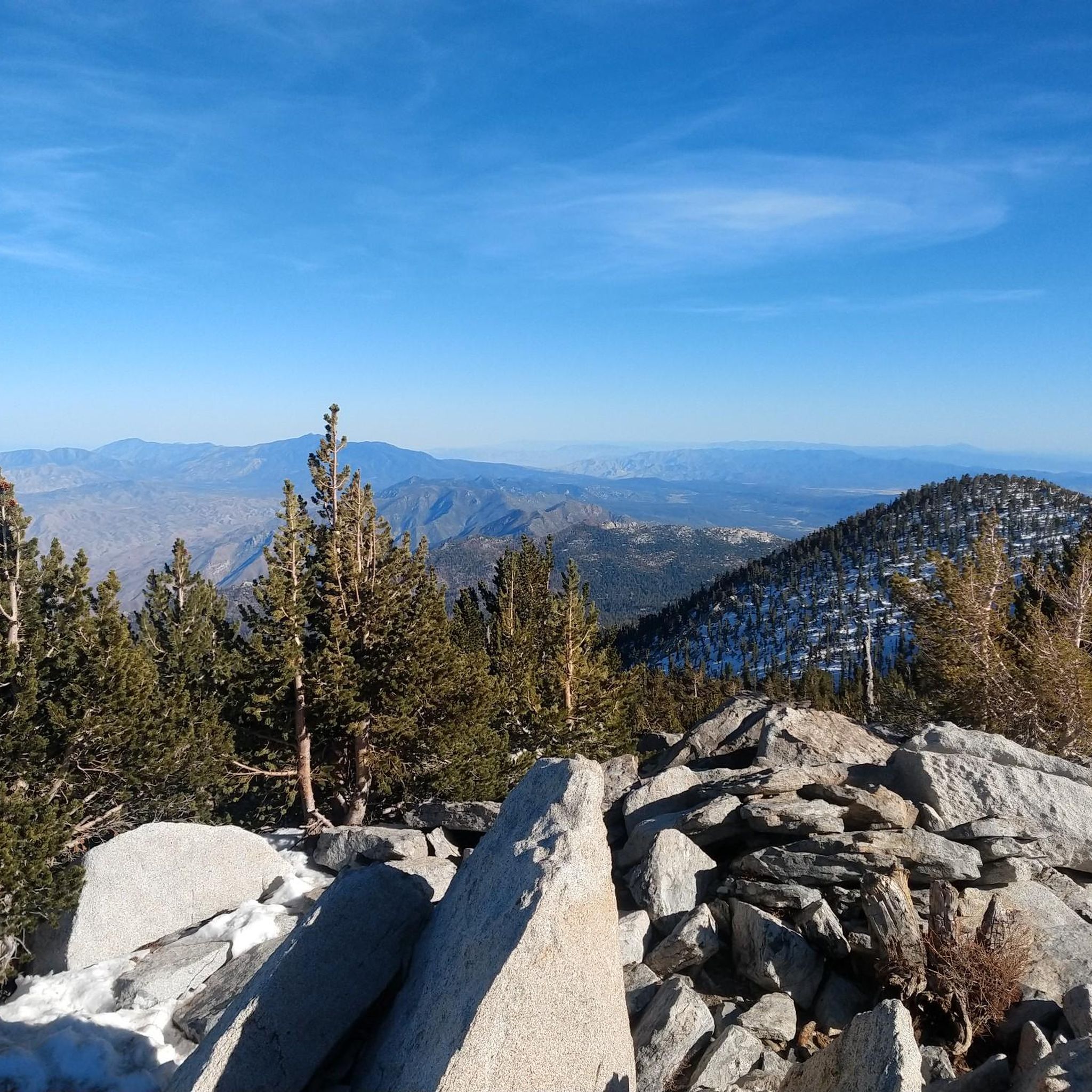
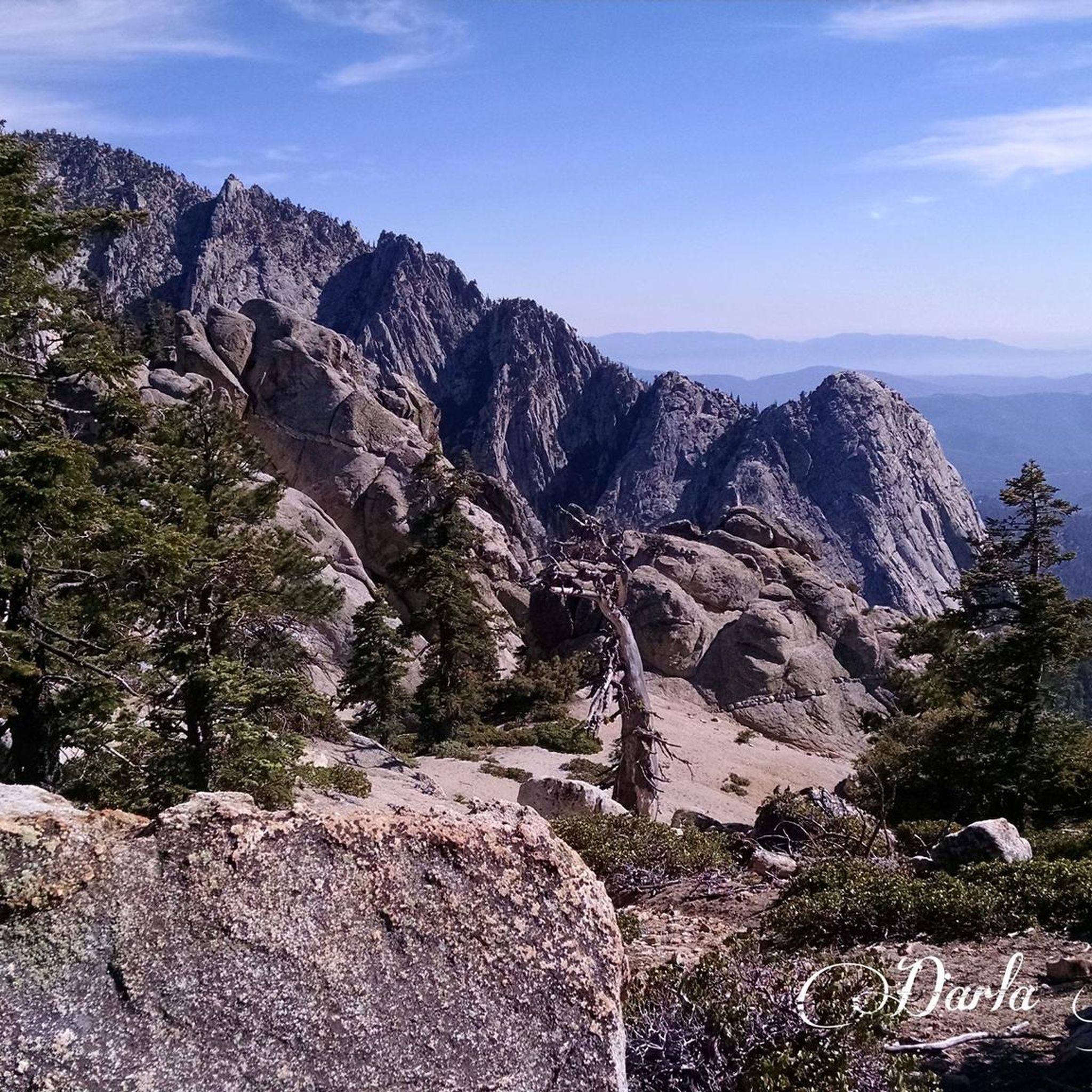
Mountain biking in San Jacinto Wilderness offers diverse landscapes, from pine-covered peaks and high mountain plateaus to chaparral-covered slopes and boulder-strewn desert canyons. The region features dramatic elevation changes, with trails traversing varied terrain that transitions from desert to alpine environments. This "sky island" ecosystem provides a unique backdrop for mountain biking, showcasing features like alpine meadows and montane wet valleys. The San Jacinto Mountains provide approximately 200 miles of dirt roads and over 40 miles of trails suitable for…
Last updated: June 29, 2026
5.0
(1)
5
riders
20.5km
01:54
470m
470m
Moderate mountain bike ride. Good fitness required. Advanced riding skills necessary.
5
riders
20.6km
02:04
510m
510m
Moderate mountain bike ride. Good fitness required. Advanced riding skills necessary.

Sign up for free
7
riders
18.8km
01:56
440m
440m
This moderate 11.7-mile mountain bike loop in Idyllwild, CA, offers technical terrain and scenic views within San Bernardino National Forest
5
riders
17.0km
01:53
490m
490m
This moderate 10.5-mile mountain biking loop combines Toptimator, Black Bear, and Smokestack trails in the San Bernardino National Forest.
1
riders
11.4km
01:19
360m
360m
This moderate 7.1-mile mountain biking loop in San Bernardino National Forest offers varied terrain and scenic forest views.
Get access to more routes and recommendations from other explorers.
Sign up for free
Already have an account?
Our route recommendations are based on thousands of hikes, rides, and runs completed by other people on komoot.
Start today with a free account
Your next adventure awaits.
Login or Signup

Other adventures in San Jacinto Wilderness

Tips from the Community

Topimator runs along the ridgeline and gives you great views across the mountains. You'll have you pick of downhill lines from here including Hard Sun, Optimator, and Project-X.
0
0
Project-X is the premier downhill trail in The Hub and it's meant for experts only, though the bottom half is a bit easier and advanced intermediate riders looking for a challenge could attempt it with caution. Along the way you'll encounter gnarly rock gardens, boulders, and jumps and many have no ride arounds so those with commitment issues are not advised to ride this trail.
1
0

The actual summit of Thomas Mountain is probably the most popular overlook along Thomas Mountain Road. The road is really popular for mountain biking and off-road driving. You can see into a number of different Wilderness areas from the different lookouts along the road.
0
0

This is a great spot for a break. The boulders create an opening in the canopy, letting warm the sun through.
0
0
For the forest lovers out there, this area will surely make you happy. The colors are strong all year round and make you appreciate what each season has to offer.
0
1
Lia Hona Lodge is located between Red Hill Road and the Toptimator trail. There is no information available on the use of the facility, but the buildings are there, in the middle of the woods, and one of the stone chimneys is worth stopping to look at. It is made of pebbles.
0
0
This spot offers a beautiful view of the area. It is a high point enabling you to see above the surrounding trees.
0
0
Frequently Asked Questions
What kind of terrain can I expect on mountain bike trails in San Jacinto Wilderness?
The San Jacinto Wilderness offers a diverse range of terrain due to its dramatic elevation changes. You'll encounter everything from pine-covered peaks and high mountain plateaus to chaparral-covered slopes and boulder-strewn desert canyons. The region transitions from desert to alpine environments, providing a unique "sky island" ecosystem with features like alpine meadows and montane wet valleys.
Are there any easy mountain bike trails suitable for beginners in San Jacinto Wilderness?
While the San Jacinto Wilderness is known for its varied and often challenging terrain, the routes listed in this guide are generally classified as moderate. For example, the View of San Jacinto Peak – Lia Hona Lodge loop from Idyllwild-Pine Cove and the Thomas Mountain loop from Thomas Mountain are both moderate rides. The Region Research mentions Fobes Ranch Road as providing over 20 miles of easy to moderate mountain biking, and Coyote Run as an easy and scenic 3-mile ride on a dirt road closed to motor vehicles, which might be suitable for those looking for less strenuous options.
What are some scenic points or landmarks I can see while mountain biking in San Jacinto Wilderness?
The San Jacinto Wilderness is rich with natural beauty and notable landmarks. You can enjoy panoramic views from high elevations, including those of San Jacinto Peak. Other significant features include dramatic cliffs and ridges, lush meadows, and diverse forests. Specific points of interest include Tahquitz Peak and Suicide Rock, both popular for rock climbing, and the Caramba Overlook for stunning vistas. Palm Canyon, with its numerous tall palm trees, also offers a striking contrast against the arid landscape.
Are permits required for mountain biking in San Jacinto Wilderness?
Yes, a free permit is required for day use within the federal wilderness area. For the state wilderness area, similar permits are needed, which may include a $5 fee for camping. It's crucial to check specific regulations for the trails you plan to ride, as some wilderness areas within the state park prohibit wheeled mechanical devices, including bicycles. For more information on state park regulations, you can visit ca.gov.
What is the best time of year to go mountain biking in San Jacinto Wilderness?
The San Jacinto Wilderness offers varied conditions due to its significant elevation changes. The region transitions from desert to alpine environments, meaning different areas might be optimal at different times. While specific seasonal advice isn't provided, the 'sky island' nature suggests that higher elevations might be more accessible in warmer months, while lower trails could be enjoyed year-round, weather permitting. Always check current trail conditions before heading out, especially during winter or after heavy rainfall.
Are there any mountain bike trails that are circular routes in San Jacinto Wilderness?
Yes, many of the mountain bike trails in San Jacinto Wilderness are designed as loops. For instance, the The Hub loop is a popular circular route through varied forest terrain. Other examples include the The Hub: Toptimator, Black Bear & Smokestack Loop and the Strawberry Ridge Road, Mystic Creek, and Silver Crag Loop, both offering scenic loop experiences.
Where can I find parking for mountain biking trails in San Jacinto Wilderness?
Parking is available at various access points to the trails. One notable location is Humber Park, which serves as a common starting point for many outdoor activities in the area. It's always advisable to check specific trailheads for designated parking areas before your ride.
What do other mountain bikers enjoy most about mountain biking in San Jacinto Wilderness?
The area is highly rated by the komoot community, with an average score of 5.0 stars. Reviewers often praise the diverse landscapes, from pine-covered peaks to high mountain plateaus, and the dramatic elevation changes that make for engaging rides. The unique 'sky island' ecosystem and the stunning views of San Jacinto Peak are frequently highlighted as major draws.
Are there any family-friendly mountain bike trails in San Jacinto Wilderness?
While many trails in the San Jacinto Wilderness are rated as moderate, which might be challenging for very young children or absolute beginners, there are options that could be considered more family-friendly. The Region Research mentions Coyote Run as an easy and scenic 3-mile ride on a dirt road closed to motor vehicles, which could be a good starting point for families. Always assess the difficulty and length of a trail to ensure it matches your family's skill level.
What facilities or amenities are available near the mountain biking trails?
The town of Idyllwild, located near many of the trailheads, offers various amenities such as cafes, pubs, and accommodation options. You can find places to refuel and relax after your ride. Additionally, Fuller Ridge Campground is listed as a facility highlight, providing camping options for those looking to extend their stay.
Can I access mountain biking trails in San Jacinto Wilderness using public transport?
The Region Research mentions the Palm Springs Aerial Tramway provides access to the high-country side of the park, offering breathtaking vistas and access to hiking trails. However, it does not explicitly state that it provides direct access for mountain biking or that bicycles are permitted on the tramway. Public transport options directly to mountain biking trailheads are not widely detailed, so planning for personal vehicle transport is generally recommended for convenience.
Most popular routes in San Jacinto Wilderness
Most popular attractions in San Jacinto Wilderness

Get inspired with the komoot mobile app


Explore more
Browse the best MTB trails in other regions.
