The best running trails in Vasquez Peak Wilderness
130
runners
20
runs
Jogging in Vasquez Peak Wilderness offers extensive high-country terrain, with much of the area situated above 10,000 feet. The region is characterized by diverse landscapes, including open alpine tundra above timberline and dense forests of Engelmann spruce, subalpine fir, and lodgepole pine at lower elevations. A 17-mile trail system, including a section of the Continental Divide National Scenic Trail, provides numerous running routes. These trails often feature significant elevation gains and offer expansive views of surrounding mountain ranges.
Best jogging…
Last updated: June 29, 2026
5
runners
7.70km
01:17
420m
420m
Prepare for a challenging jogging experience on the Second Creek Trail to Twin Cones, a difficult route covering 4.8 miles (7.7 km) with a significant elevation gain of 1388 feet…
15
runners
10.0km
01:42
540m
540m
Embark on the Mount Flora Trail for a difficult jogging experience high in the Colorado mountains. This route spans 6.2 miles (10.0 km) and challenges you with a significant elevation…

Sign up for free
5
runners
9.88km
01:25
600m
600m
Jog Jones Pass Road in Arapaho National Forest, a difficult 6.1-mile route with 1953 feet of gain, offering panoramic Rocky Mountain views.
2
runners
6.51km
00:50
330m
330m
Prepare for a challenging jogging experience on the Mines Peak Trail, a difficult route spanning 4.0 miles (6.5 km) with a significant elevation gain of 1082 feet (330 metres). As…
1
runners
21.6km
03:24
850m
850m
Challenging 13.4-mile (21.6 km) jogging route on the Continental Divide, offering panoramic views and significant elevation gain.
Get access to more routes and recommendations from other explorers.
Sign up for free
Already have an account?
Our route recommendations are based on thousands of hikes, rides, and runs completed by other people on komoot.
Start today with a free account
Your next adventure awaits.
Login or Signup
Popular around Vasquez Peak Wilderness

Tips from the Community

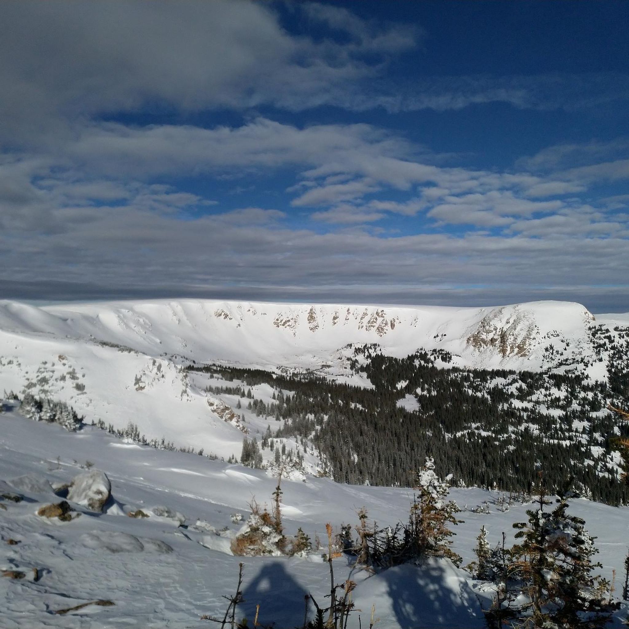
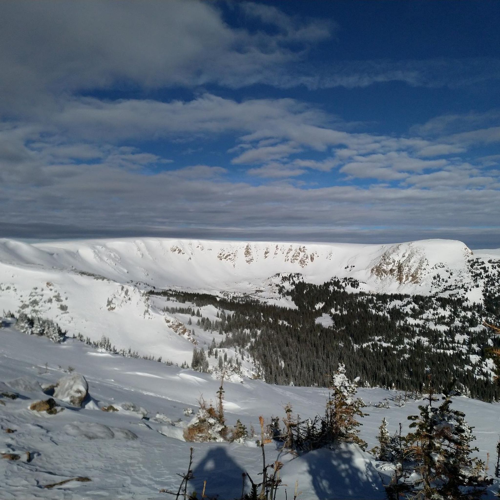
The fastest way to access the summit is to park at Jones Pass if you are able to drive up the OHV road. You can also run in from the CDT. The views from the summit and the ridge trail are fantastic, and the trail is not too difficult.
0
0
There is plenty of parking along the gravel road by the trailhead. The trail switchbacks up the mountain before reaching a fork. Bear left for Vasqeuz Peak and right for Vasquez Pass & Stanley Mountain.
0
0
The CDT (Continental Divide Trail) runs along the side of the mountain with stunning views toward Jones Pass. The trail is nontechnical singletrack. You can choose to ascend Vasquez from here, but there is no trail so you will have to choose your own route up the steep talus slope.
0
0

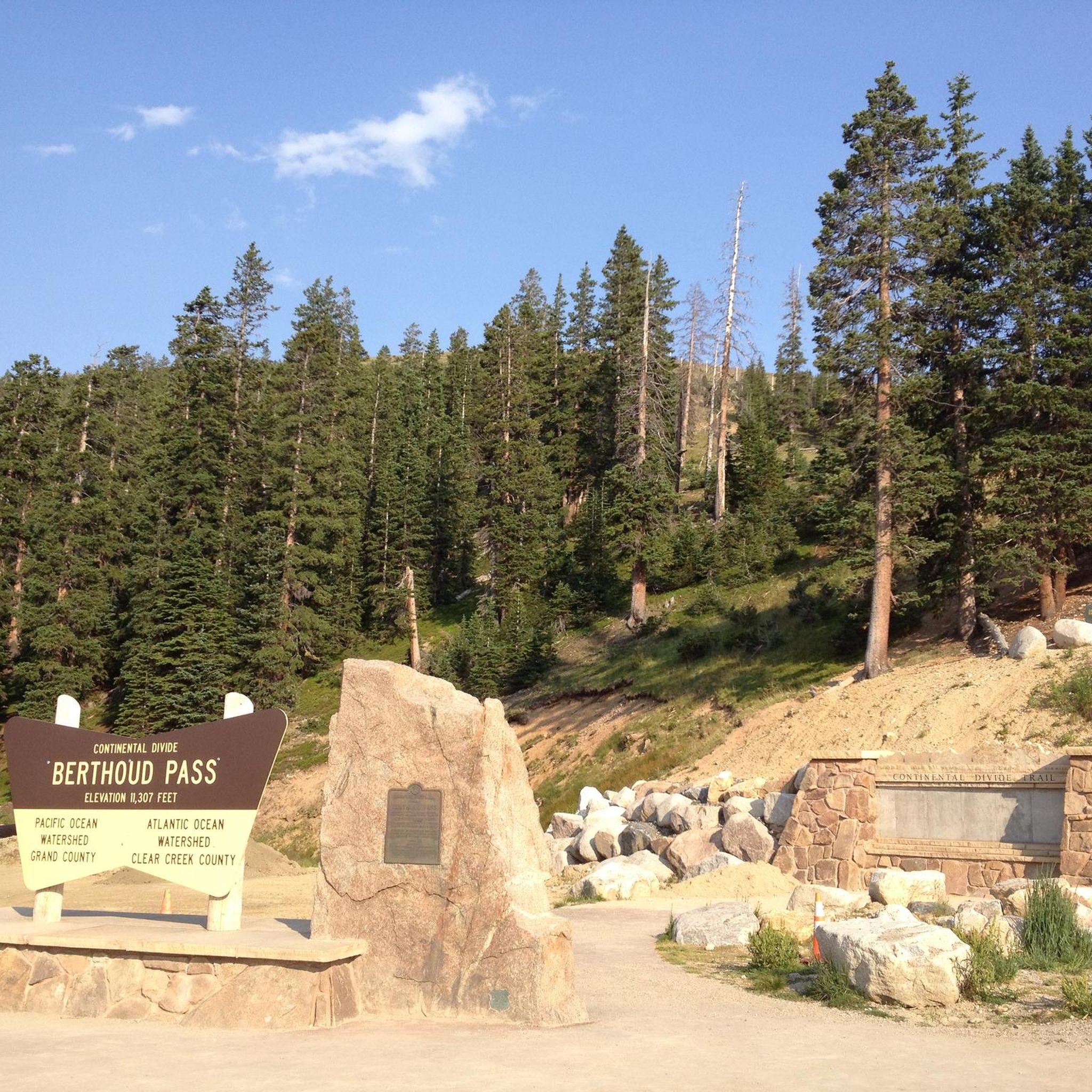
At an elevation of 11,307 feet, Berthoud Pass is a high mountain pass in central Colorado. The route going over the pass used to be an old wagon route (the path was deemed unsuitable for a railroad). There is trail access, bathrooms, and lots of parking at the pass summit.
0
0
You can access the parking area at Berthoud Pass all year, making this as popular of a winter trail as it is a summer trail. The starting elevation is so high for this run that it is a great mountain for those looking for views without the struggle of climbing a 14er.
0
0
Jones Pass sits at 12,454 feet and Grand County from Clear Creek County. There are a number of ways to get to the top of the pass, and some people even choose to drive the OHV road that leads to the top. There are endless views of 12,000 and 13,000 foot peaks from the alpine pass.
0
0
Jones Pass Road is a 4WD road that climbs up a mountain pass to 12,454 feet. The road holds snow until late spring and is well known for having fields of wildflowers lining its sides. The road becomes steeper and rockier the higher you climb, but the views also open up once you get above treeline.
0
0
Mount Flora rises to 13,146 feet and offers unobstructed views of the surrounding peaks and forests. The summit can be reached from multiple angles, but it is most often approached from the Berthoud Pass side.
0
0
Frequently Asked Questions
What kind of terrain can I expect on running routes in Vasquez Peak Wilderness?
Running routes in Vasquez Peak Wilderness feature diverse high-country terrain. You'll encounter open alpine tundra above the timberline, transitioning to dense forests of Engelmann spruce, subalpine fir, and lodgepole pine at lower elevations. Many trails involve significant elevation gains, offering challenging climbs and expansive views.
Are there any easy running trails suitable for beginners in Vasquez Peak Wilderness?
While many routes in Vasquez Peak Wilderness are considered moderate to difficult due to high elevations and challenging terrain, there are a few easier options available. The guide lists 2 routes categorized as easy, making them more accessible for those new to high-altitude running or seeking a less strenuous experience.
What is the best time of year to go running in Vasquez Peak Wilderness?
The best time for running is typically during the summer and early fall when trails are clear of snow. However, due to the high elevation, sudden summer thunderstorms are common, posing a risk of lightning. It's advisable to plan your runs for early mornings and descend into the treeline before afternoon storms develop. Always be prepared for inclement and windy weather at higher altitudes.
Are there any family-friendly running routes in the Vasquez Peak Wilderness?
Given the general difficulty and high elevation of trails in Vasquez Peak Wilderness, most routes are not explicitly categorized as family-friendly, especially for younger children. However, the 2 easy routes listed in the guide might be suitable for families with older, experienced children who are accustomed to hiking or running at altitude. Always check the specific route details for elevation gain and distance.
Can I bring my dog on the running trails in Vasquez Peak Wilderness?
Vasquez Peak Wilderness is generally dog-friendly, but it's crucial to keep your dog on a leash to protect wildlife and ensure a pleasant experience for all trail users. Be mindful of the challenging terrain and high altitude, which can be demanding for pets, and always carry enough water for both yourself and your dog.
What unique natural features or views can I expect to see while running?
Runners can enjoy dramatic, expansive views of surrounding mountain ranges, including the Indian Peaks and Eagles Nest wilderness areas, often with fewer crowds. You might also spot unique 'krummholz' trees, which are spruce and fir trees dwarfed and shaped by harsh winds. In summer, the area is known for its extensive wildflowers, adding vibrant color to the routes. From the summit of Vasquez Peak, you can experience 360-degree panoramic views.
Are there any loop running routes in Vasquez Peak Wilderness?
While the guide primarily features point-to-point or out-and-back routes, some sections of the 17-mile trail system, including parts of the Continental Divide National Scenic Trail, can be combined to create loop experiences. For example, the Mines Peak Trail offers a challenging run with rewarding views that could potentially be integrated into a larger loop with careful planning and navigation.
What should I know about navigation and trail markings in Vasquez Peak Wilderness?
While some trails are maintained, certain areas, especially at higher elevations, might involve less defined paths. Some trails are described as 'primitive' and 'unmarked,' requiring good navigation skills. It's highly recommended to carry a map, compass, or a GPS device, and know how to use them, especially when venturing into less-trafficked areas.
What are some of the more challenging running routes in the area?
Vasquez Peak Wilderness is known for its challenging routes. For instance, the Mount Flora Trail is a difficult 6.2-mile path offering demanding climbs and panoramic views. Another challenging option is the Mount Nystrom Trail, which is significantly longer at over 13 miles with substantial elevation gain.
How many running routes are available in Vasquez Peak Wilderness?
There are 19 running routes documented in Vasquez Peak Wilderness on komoot. These routes vary in difficulty, with 2 easy, 5 moderate, and 12 difficult options, providing a range of experiences for different fitness levels.
Are there any opportunities for wildlife spotting while running?
Yes, the diverse ecosystems of Vasquez Peak Wilderness offer opportunities for wildlife spotting. Elk have been noted in the alpine meadows, and you might encounter other high-country wildlife. Maintaining a respectful distance and keeping dogs leashed helps protect these animals and ensures a natural experience.
What is the longest running route available in Vasquez Peak Wilderness?
The longest running route featured in the guide is the Mount Nystrom Trail. This difficult route spans over 13 miles (21.5 km) and involves significant elevation changes, making it a demanding option for experienced runners.
Most popular routes in Vasquez Peak Wilderness

Get inspired with the komoot mobile app


Explore more
Browse the best Running Trails & Routes in other regions.
