The best walks and hikes in Mount Olympus Wilderness
4.8
(189)
4,380
hikers
162
hikes
Hikes in Mount Olympus Wilderness explore a rugged landscape defined by steep, narrow canyons and a significant elevation range. The area is characterized by dense mountain brush at lower altitudes, with fir and aspen forests on north-facing slopes. Higher elevations feature glaciated alpine basins and sharp, rocky ridges, offering a variety of trail experiences just outside Salt Lake City.
Best hiking trails in Mount Olympus Wilderness
- The most popular hiking route is Mount Olympus Trail to Mount Olympus Summit — Mount Olympus Wilderness, a 7.0 mile (11.3 km) trail that takes around 7 hours to complete. This is a challenging ascent with a final scramble over quartzite boulders to the summit.
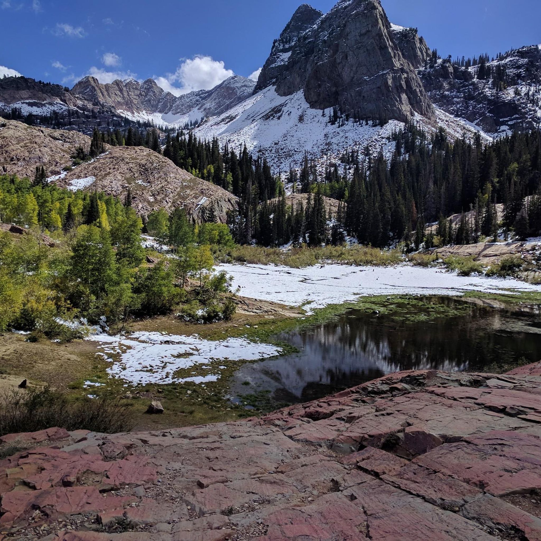
- Another top favourite among local hiking enthusiasts is Lake Blanche — Big Cottonwood Canyon, a difficult 7.0 mile (11.3 km) path. The route involves a steady climb through Big Cottonwood Canyon to reach the lake basin.
- Local hiking enthusiasts also love the Heughs Canyon Trail — Mount Olympus Wilderness, a 3.0 mile (4.8 km) trail leading through a shaded canyon, often completed in about 1 hour 55 minutes.
- Hiking in Mount Olympus Wilderness is defined by steep canyon ascents, high-altitude alpine basins, and trails through aspen and fir forests. The trail network provides options for different ability levels, from moderate canyon walks to difficult summit hikes.
- The routes in Mount Olympus Wilderness are highly rated by the komoot community with an average score of 4.9 stars from more than 180 reviews. More than 4,300 hikers have used komoot to explore Mount Olympus Wilderness's varied terrain.
Last updated: June 25, 2026
5.0
(1)
13
hikers
11.1km
04:24
620m
480m
If you're seeking a challenging yet beautiful day hike in the Wasatch Mountains, the Butler Fork Loop offers a fantastic journey through varied landscapes. You'll wind through lush forests of aspen and pine, then emerge into open meadows that explode with wildflowers during warmer months. The descent provides sweeping panoramic views of peaks like Mount Raymond and Gobblers Knob, making the effort worthwhile.
This moderate route covers 6.9 miles (11.1 km) with a significant 2027 feet (618 metres) of elevation gain, typically requiring about 4 hours and 23 minutes. Be aware that the trail can be steep in sections and may have rocky or muddy patches, especially in the upper reaches. Parking is available at the trailhead, but it's always wise to arrive early during peak season.
Beyond its natural beauty, the area holds historical significance, with remnants of 19th-century mining equipment still visible along the trail. It's also a popular spot for wildlife viewing, with deer, moose, and various bird species frequently sighted. Remember, this trail is within a wilderness area, so strict rules apply, including a "no pets" policy.
9
hikers
11.9km
06:55
1,220m
880m
Embark on a challenging hike up Mount Raymond via Alexander Basin Trail, a difficult route covering 7.4 miles (11.9 km) with a substantial elevation gain of 3988 feet (1215 metres). This demanding journey typically takes around 6 hours and 54 minutes to complete. You will experience a steep climb through dense forest in Alexander Basin, eventually opening up to alpine meadows. As you ascend, the terrain shifts, leading you to a plateau that offers expansive views of the surrounding peaks. The ultimate reward is reaching the Mount Raymond summit, where you can enjoy sweeping 360-degree vistas of the Wasatch Range and even the Great Salt Lake on a clear day.
Prepare for a rewarding but strenuous experience; hiking poles are highly recommended for the steep grades and descents you will encounter. The final push to the summit involves a Class 2 or Class 3 scramble, so you should be comfortable with heights. While dogs are permitted on the trail, consider the difficulty and scrambling sections before bringing your canine companion. Using a navigation app is also a good idea to help you stay on the correct path throughout your hike.
This trail is located within the Uinta-Wasatch-Cache National Forest, offering a significant day hike for those seeking a substantial elevation gain. The route is known for its diverse terrain, transitioning from shaded forest to open alpine environments. It provides a unique opportunity to witness the vastness of the region from a high vantage point. This challenging adventure is perfect if you are looking for a rigorous outdoor experience with rewarding panoramic views.

Sign up for free
7
hikers
4.10km
01:26
370m
20m
Embark on the Thayne Canyon and Desolation Trail Loop, a moderate hike spanning 2.5 miles (4.1 km) with an elevation gain of 1198 feet (365 metres). This route typically takes around 1 hour and 26 minutes to complete. You will experience diverse terrain, from the wide-open vistas of Millcreek Canyon on the Desolation Trail side to the more enclosed, steeper paths of Thayne Canyon. Look forward to panoramic views of the Salt Lake Valley from the Desolation Overlook. The trail also winds through open meadows and forested areas, which are particularly vibrant during autumn.
This hiking loop is accessible year-round, offering a rewarding outdoor experience in any season. Parking is generally available at the trailhead, making your access straightforward. If you plan to bring your dog, remember that they are allowed off-leash on odd-numbered days and must be leashed on even-numbered days within Millcreek Canyon. Plan your visit accordingly to ensure a smooth outing.
The Thayne Canyon side of the trail is often described as 'magically beautiful,' featuring unique elements like children's forts nestled among the trees. In contrast, the Desolation Trail offers expansive views, providing a different perspective of the surrounding landscape. This popular loop near Salt Lake City provides a rewarding outdoor experience, blending varied scenery with a manageable challenge.
5
hikers
2.01km
00:55
130m
120m
The Neff's Canyon Loop offers a challenging hiking experience, packing 411 feet (125 metres) of elevation gain into just 1.3 miles (2.0 km). As you navigate this difficult route, which typically takes about 54 minutes, you'll find yourself immersed in diverse scenery. Expect to wind through wooded areas featuring Aspen groves and oak brush, pass by craggy limestone cliffs, and enjoy picturesque views of the Salt Lake Valley, with impressive glimpses of Mount Olympus.
Before you head out, be aware that cell reception can be poor within the canyon, so downloading an offline map is highly recommended to stay on track. Some paths might not be clearly marked, adding to the adventure. If you plan to hike during winter, early spring, or late fall, make sure to bring traction devices like microspikes, as icy conditions are common on the trail.
This loop is nestled within the Uinta-Wasatch-Cache National Forest, providing a true escape into nature. Keep an eye out for wildflowers blooming in the spring, adding vibrant color to the landscape. You might also spot the creek flowing through the canyon, especially during the earlier parts of summer, which adds a refreshing element to your hike.
6
hikers
4.89km
01:42
250m
80m
Embark on the Pipeline Trail for a moderate hike that covers 3.0 miles (4.9 km) and ascends 805 feet (245 metres). You can expect to complete this route in about 1 hour and 41 minutes, making it a good option for a solid workout. As you follow Mill Creek, you will enjoy the soothing sounds of nature and discover impressive canyon views, particularly around Rattlesnake Gulch. Keep an eye out for visible peaks like Grandeur Peak in the distance, providing a dramatic backdrop to your journey.
This trail is situated near Salt Lake County, Utah. While specific parking details are not provided, you can generally find designated parking at trailheads in this area. Always remember to check local conditions before you head out, especially for seasonal considerations such as snow or potential road closures within Mill Creek Canyon. Planning your visit during optimal weather will ensure a more enjoyable experience on the route.
The Pipeline Trail gets its name from the historical water pipeline remnants you might spot along the way. These features offer a glimpse into the region's past, adding a unique historical layer to your outdoor adventure. This connection to local history sets the trail apart, providing more than just natural beauty during your hike.
Get access to more routes and recommendations from other explorers.
Sign up for free
Already have an account?
Our route recommendations are based on thousands of hikes, rides, and runs completed by other people on komoot.
Start today with a free account
Your next adventure awaits.
Login or Signup
Tips from the Community

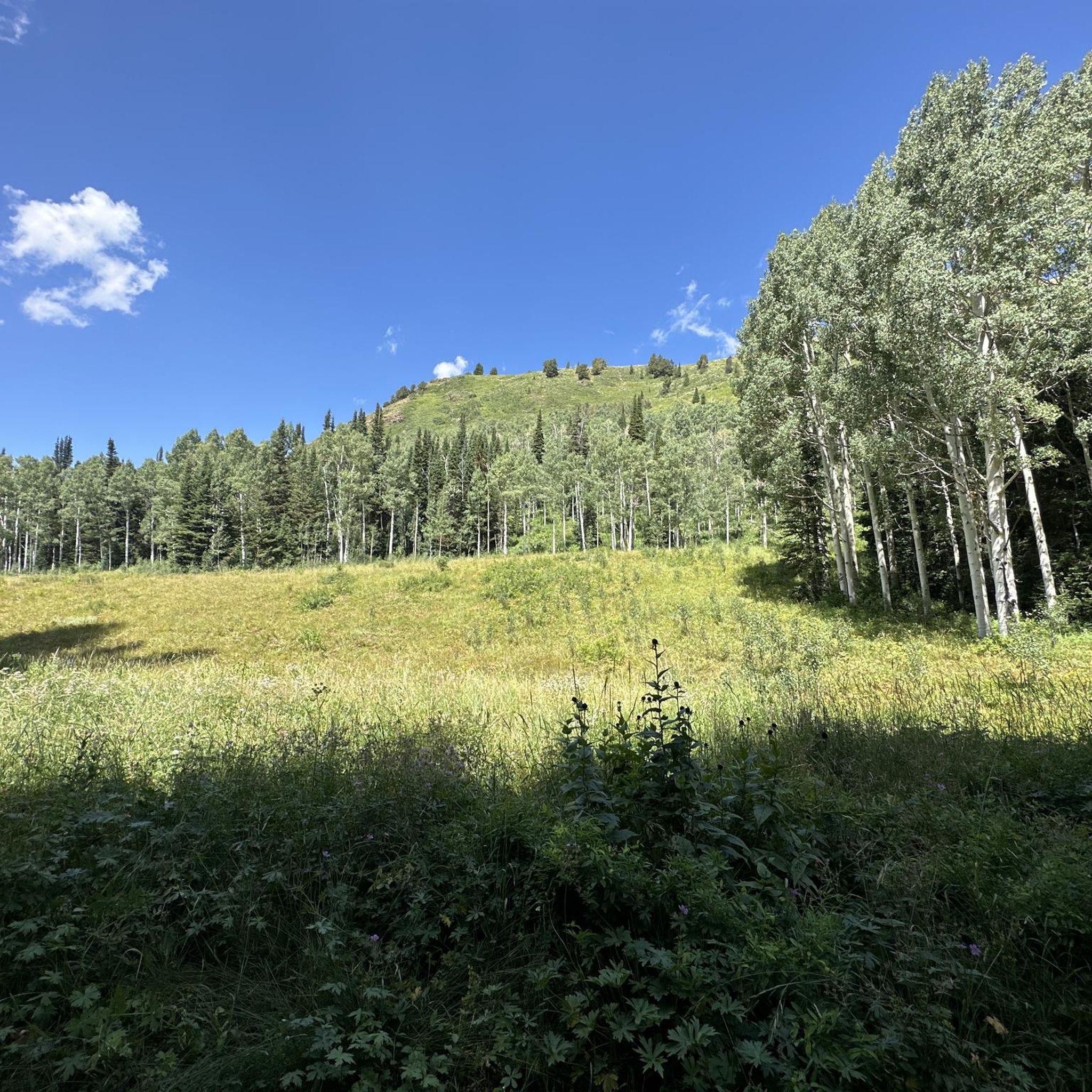
Circle All Peak is a beautiful summit providing views of Cottonwood Canyon, Butler Fork, and the surrounding peaks.
0
0
Mount Raymond is a 10,241-foot (3,121-meter) peak on the Big Cottonwood Canyon ridge line. From the peak, you can appreciate majestic views of the canyon. Enjoy the wildflowers scattered along the trail in the summer!
1
0
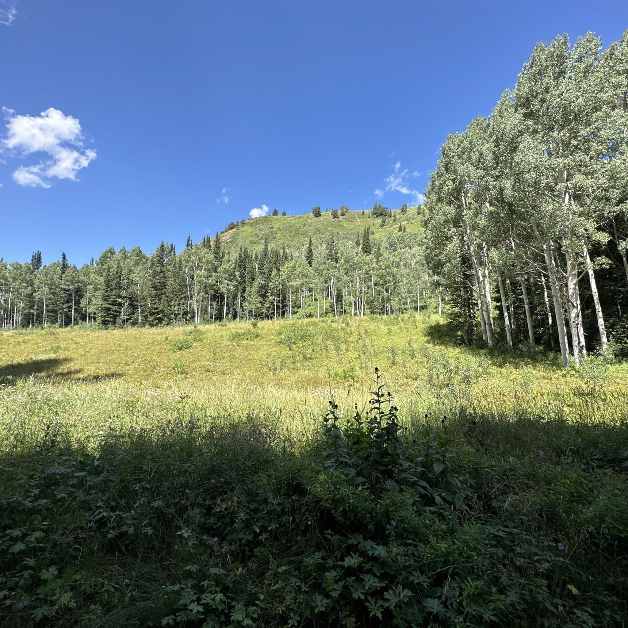
The Butler Fork Trailhead leads to some beautiful views, lakes, and peaks in the Mount Olympus Wilderness. From here you can start your hike towards Circle All Peak, Mount Raymond, or Dog Lake.
0
0

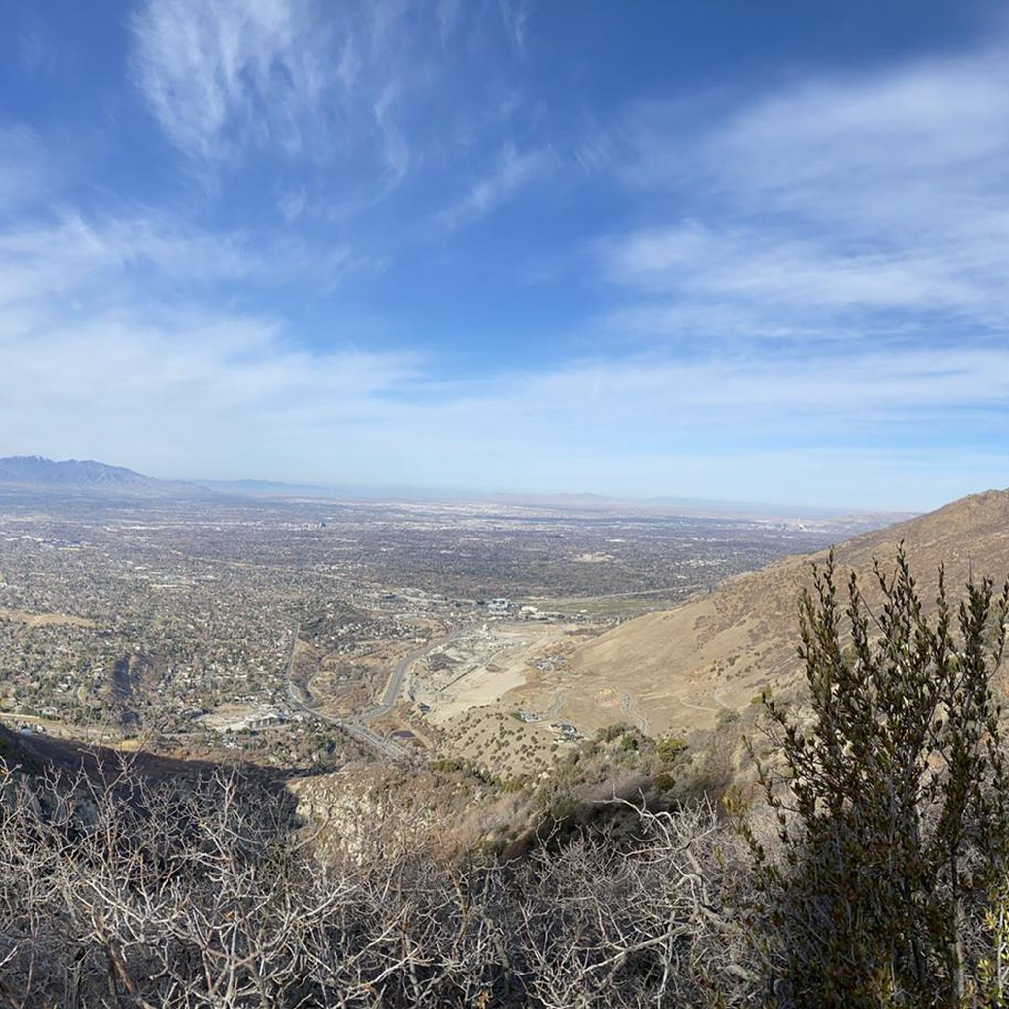
With a remarkable view down Millcreek Canyon into the Salt Lake Valley, the Desolation Overlook trail is worth the trek.
0
0
Frequently Asked Questions
Are permits required for hiking in the Mount Olympus Wilderness?
For day hiking, permits are generally not required. However, as a designated wilderness area within the Uinta-Wasatch-Cache National Forest, specific regulations apply, especially for overnight backpacking. It's essential to practice Leave No Trace principles to protect the natural environment. Group size may also be limited.
When is the best time of year to hike in this area?
The prime hiking season is from late spring to fall. Snow can linger on higher elevation trails and north-facing slopes until mid-summer, so trails like the one to Gobblers Knob are best attempted from July onwards. July is spectacular for wildflowers, while autumn offers vibrant colors from the aspen forests.
Are dogs allowed on the trails in the Mount Olympus Wilderness?
Dog regulations vary significantly by canyon due to watershed protections. For example, in Big Cottonwood Canyon, where the Lake Blanche trail is located, dogs are not permitted to protect the water supply. In other areas like Millcreek Canyon or Neffs Canyon, dogs may be allowed, sometimes on an odd/even day schedule. Always check the specific regulations for your chosen trailhead before you go.
What are some good options for a shorter hike with a waterfall?
The Heughs Canyon Trail is an excellent choice. It's a relatively short, shaded hike that follows a stream up to a lovely waterfall, making it a great escape on a warm day.
Are there any family-friendly or easier hikes in the wilderness?
While much of the wilderness is steep, there are some more approachable options. The Neffs Canyon Trail offers a pleasant walk with great views and stream crossings that are enjoyable for families. Another moderate option is the Pipeline Viewpoint via Rattlesnack Gulch & Pipeline Trails, which has less elevation gain and provides rewarding views of the canyon.
Which trail offers the best panoramic views of the Salt Lake Valley?
For an expansive valley overlook, the trail to Desolation Overlook is a fantastic choice. It provides stunning, wide-open views of the Salt Lake Valley and the surrounding Wasatch mountains without the intense scramble required for some of the higher peaks.
How difficult is the hike to the Mount Olympus summit?
The Mount Olympus Trail is considered very challenging. It involves over 4,100 feet of elevation gain in just 3.3 miles. The final section to the true summit requires a difficult and exposed scramble over jagged quartzite boulders, which should only be attempted by experienced hikers comfortable with heights and exposure.
Why are mountain bikes not allowed in the Mount Olympus Wilderness?
The area was designated as a wilderness area by the U.S. Congress in 1984. Under the Wilderness Act of 1964, mechanized forms of transport, including mountain bikes and other vehicles, are prohibited to preserve the wild character of the landscape and provide opportunities for solitude.
What kind of wildlife might I see while hiking?
The wilderness is home to a diverse range of wildlife. It's common to see mule deer and moose, especially in the canyons and near streams. While less common, mountain lions and black bears also inhabit the area. Birdwatchers can spot hummingbirds, buntings, and various warblers. Always keep a safe distance and never feed wildlife.
How many hiking trails are in the Mount Olympus Wilderness?
There are over 100 hiking routes to explore in and around the Mount Olympus Wilderness. These range from short canyon walks to strenuous, high-altitude summit scrambles, offering a wide variety of experiences for different fitness and skill levels.
What do other hikers say about the trails in this region?
The trails in Mount Olympus Wilderness are highly regarded by the komoot community, with an average rating of 4.9 out of 5 stars. Hikers frequently praise the stunning panoramic views, the challenging yet rewarding ascents, and the area's rugged, natural beauty so close to Salt Lake City.
Most popular routes in Mount Olympus Wilderness
Most popular attractions in Mount Olympus Wilderness

Get inspired with the komoot mobile app


Explore more
Browse the best Hikes in other regions.
