The best MTB trails in Mount Zirkel Wilderness
151
riders
13
rides
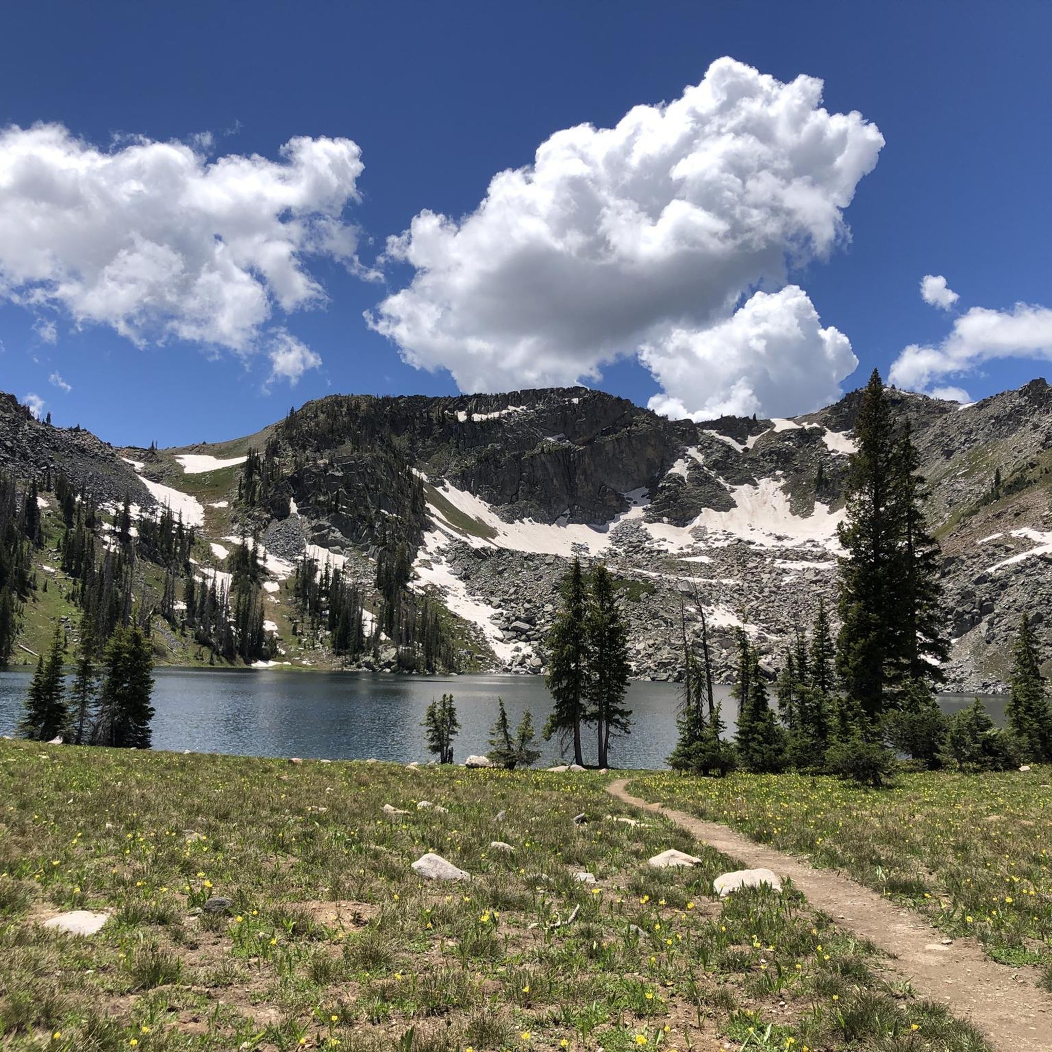
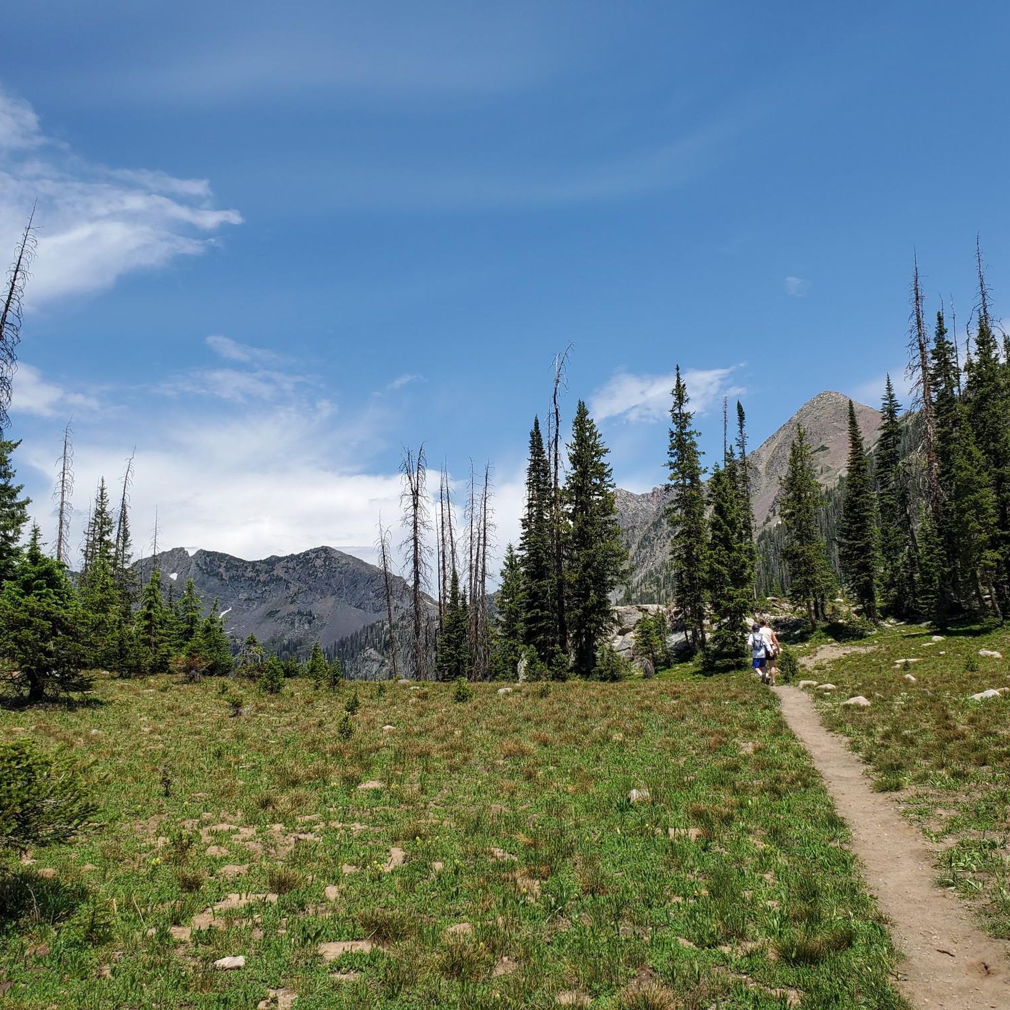
Mountain biking near Mount Zirkel Wilderness offers access to diverse landscapes, though mountain biking is prohibited within the wilderness area itself. The surrounding region features a variety of terrain, from sagebrush meadows at lower elevations to pine and spruce/fir forests, with trails often leading to high-altitude lakes and along river headwaters. This area is characterized by rugged mountain peaks, some exceeding 12,000 feet, and an extensive trail system outside the wilderness boundaries.
Best mountain bike trails in Mount Zirkel Wilderness
- The most popular mountain bike trail is Flash of Gold and Grouse Trail Loop, a 15.8 miles (25.4 km) trail that takes 2 hours 40 minutes to complete. This moderate route features varied forest paths and open sections.
- Another top favourite among local mountain bikers is Soda Mountain Trail – Steamboat Springs, a difficult 25.6 miles (41.1 km) path. This trail offers significant elevation gain and expansive views of the surrounding mountains.
- Local mountain bikers also love the Fish Creek Falls Trail, a 35.1 miles (56.6 km) trail leading through forested areas and near notable natural features, often completed in about 5 hours 40 minutes.
- Mountain biking in the region surrounding Mount Zirkel Wilderness is defined by diverse ecosystems, rugged mountain peaks, and extensive trail systems. The network offers options for different ability levels, from moderate forest loops to challenging routes with significant elevation.
- The guide includes highly-rated routes that showcase the best of the region's landscape. More than 100 mountain bikers have used komoot to explore the varied terrain near Mount Zirkel Wilderness.
Last updated: June 28, 2026
19
riders
25.4km
02:41
620m
620m
Embark on the Flash of Gold and Grouse Trail Loop, a moderate mountain biking adventure spanning 15.8 miles (25.4 km) with 2022 feet (616 metres) of elevation gain, typically completed in 2 hours and 40 minutes. You will ride through dense aspen forests and high-country meadows, enjoying views of wildflowers and the iconic Rabbit Ears Peak. The route offers a balanced experience, combining a steady climb with an exhilarating downhill through fern groves.
This popular loop is known for its blend of intermediate climbing and expert-level downhill sections. While the Flash of Gold trail offers well-controlled gradients, the Grouse Trail is aggressive and requires caution due to its technical features. Always be aware of current trail conditions, as maintenance can sometimes be inconsistent, with occasional downed trees. Plan your visit carefully to ensure a safe and enjoyable ride.
Located within Routt National Forest, this trail uniquely links an intermediate climbing experience with an expert downhill challenge. The Grouse Trail, specifically designed for expert-level downhill riding, features exposed cliff edges and significant rock features. This combination makes the Flash of Gold and Grouse Trail Loop a distinctive and memorable ride in the region.
7
riders
41.1km
04:23
1,040m
1,050m
Hard mountain bike ride. Very good fitness required. Advanced riding skills necessary. Some portions of the route may require you to push your bike.

Sign up for free
56.6km
05:42
1,340m
1,340m
Prepare for a challenging mountain biking adventure on the Fish Creek Falls Trail. This difficult route spans 35.2 miles (56.6 km) and demands a significant effort, with 4401 feet (1342 metres) of elevation gain over an estimated 5 hours and 41 minutes. You will navigate varied terrain, from open meadows to dense aspen groves, all while enjoying expansive views of Steamboat Springs. A highlight of your ride will be the impressive 283-foot Fish Creek Upper Falls, a powerful natural landmark. Expect technical sections and rewarding vistas throughout your journey.
Before you set out, be aware that the Fish Creek Falls Trail is known for its demanding nature. The final two miles are rated Double Black Diamond, making them suitable only for expert riders. This is a multi-use trail, so you should anticipate sharing the path with hikers, especially during peak times. Always practice mutual respect and awareness to ensure a pleasant experience for everyone on the route.
This trail offers more than just a ride; it provides a deep immersion into the Routt National Forest. While the spring snowmelt makes the Upper Falls particularly impressive, autumn brings a vibrant display of colors to the landscape. The route also features impressive rock cliffs, adding to the diverse scenery. It is a notable trail in the region for its combination of natural beauty and significant physical challenge.
35
riders
15.8km
01:36
350m
350m
Hard mountain bike ride. Good fitness required. Advanced riding skills necessary. Some portions of the route may require you to push your bike.
36
riders
26.5km
02:40
570m
570m
Hard mountain bike ride. Good fitness required. Advanced riding skills necessary. Some portions of the route may require you to push your bike.
Get access to more routes and recommendations from other explorers.
Sign up for free
Already have an account?
Our route recommendations are based on thousands of hikes, rides, and runs completed by other people on komoot.
Start today with a free account
Your next adventure awaits.
Login or Signup
Popular around Mount Zirkel Wilderness
Tips from the Community

Although the parking lot is quite big, the trailhead fills up quickly especially when the aspens shimmer golden in late September. Check this webcam before you drive up to the Dry Lake Trailhead to find out if there are still lots available: share.earthcam.net/tJ90CoLmq7TzrY396Yd88PN-LGPG_7LcFwWSD6ItD3c!/steamboat_usda_forest_service_dry_lake_trailhead/camera/view_1 .
2
0

This is another beautiful waterfall, and much less crowded than the lower Fish Creek Falls. Parts of the trail reaching here are very rocky and backed up against cliffs, so keep your wits about you — especially when you cross paths with other trail users, which may include mountain bikers.
1
0
Congratulations! You've reached the Soda Mountain Summit. Take a break and enjoy the sweeping views from the 10,810 foot summit before you tackle the downhill.
1
0
After a short part on a Service Forest Road the Flash of Gold Trail changes into a fine singletrack again that offers fantastic views of Steamboat Springs.
1
0
Super fun downhill trail that leads to Steamboat Springs. The trail has lots of optional features, some of them are big jumps that are not rollable.
1
1
Although the parking lot is quite big, the trailhead fills up quickly especially when the aspens shimmer golden in late September. Check this webcam before you drive up to the Dry Lake Trailhead to find out if there are still lots available: https://share.earthcam.net/tJ90CoLmq7TzrY396Yd88PN-LGPG_7LcFwWSD6ItD3c!/steamboat_usda_forest_service_dry_lake_trailhead/camera/view_1
1
0
Compared to the technical climb the downhill part of the Soda Mountain Trail is relatively smooth and flowy. The trail offers a few features for advanced riders that are jumpable or rollable depending on your speed. But one thing is for sure: The views are absolutely mind blowing!
2
0
The climb up to Soda Mountain is fun, but really technical. The trail is steep, rocky and remote. Only a handful of mountain bikers will master all sections without a foot touch at the ground.
2
0
Frequently Asked Questions
Can I mountain bike directly within the Mount Zirkel Wilderness area?
No, mountain biking is prohibited within the Mount Zirkel Wilderness boundaries. This area is protected under regulations against motorized equipment and vehicles, including bicycles. The trails mentioned in this guide are located in the surrounding region, outside the wilderness area.
Where can I find mountain bike trails near Mount Zirkel Wilderness?
You can find a variety of mountain bike trails in the region surrounding Mount Zirkel Wilderness. Popular options include the Flash of Gold and Grouse Trail Loop, the challenging Soda Mountain Trail – Steamboat Springs, and the extensive Fish Creek Falls Trail.
Are there mountain bike trails suitable for beginners near Mount Zirkel Wilderness?
While many trails in the region are rated as difficult, there are some moderate options available. The Flash of Gold and Grouse Trail Loop is a moderate 15.8-mile route that offers varied forest paths and open sections, making it a good choice for those with some experience.
What are some challenging mountain bike routes in the area?
For experienced riders seeking a challenge, the Soda Mountain Trail – Steamboat Springs is a difficult 25.6-mile path with significant elevation gain. Another demanding option is the Fish Creek Falls Trail, which spans 35.1 miles and features considerable climbing.
Are there any loop mountain bike trails available?
Yes, several loop trails are available. The Flash of Gold and Grouse Trail Loop is a popular 15.8-mile option. Another loop starting from Dry Lake is the Dry Lake Trailhead – Flash of Gold Trail loop, which covers 9.6 miles.
What is the best time of year for mountain biking near Mount Zirkel Wilderness?
The best time for mountain biking in the region is typically during the summer months, from late spring to early autumn, when trails are clear of snow and weather conditions are favorable. During summer, the alpine tundra within the wilderness bursts with vibrant wildflowers, offering beautiful scenery in the surrounding areas.
Is parking available for mountain bikers at trailheads?
Parking is generally available at designated trailheads for routes outside the wilderness area. For example, the Dry Lake Trailhead serves as a starting point for several routes, including the Flash of Gold Trail loop.
Are permits required for mountain biking on trails near Mount Zirkel Wilderness?
Permits are not typically required for mountain biking on the trails outside the Mount Zirkel Wilderness area. However, it's always advisable to check with local land management agencies for any specific regulations or temporary closures before your ride.
Are there family-friendly mountain bike options in the area?
While many trails are geared towards more experienced riders, families with some mountain biking experience might enjoy the moderate sections of routes like the Flash of Gold and Grouse Trail Loop. Always assess the difficulty and distance to ensure it matches your family's ability.
Are dogs allowed on the mountain bike trails?
Regulations regarding dogs can vary by specific trail and land management. It's best to check local signage or the managing authority's website for the particular trail you plan to ride to confirm if dogs are permitted and if they need to be on a leash.
What kind of natural features can I expect to see on mountain bike trails?
The trails near Mount Zirkel Wilderness traverse diverse ecosystems, from sagebrush meadows at lower elevations to pine and spruce/fir forests. While mountain biking is not allowed inside the wilderness, the surrounding region offers views of rugged mountain peaks and trails that often lead along river headwaters and towards high-altitude lakes.
How many mountain bike trails are featured in this guide?
This guide features 12 mountain bike trails in the region surrounding Mount Zirkel Wilderness, offering a range of difficulties from moderate to difficult.
Most popular routes in Mount Zirkel Wilderness

Get inspired with the komoot mobile app


Explore more
Browse the best MTB trails in other regions.
