The best road cycling routes in Holy Cross Wilderness
3.4
(5)
710
riders
28
rides
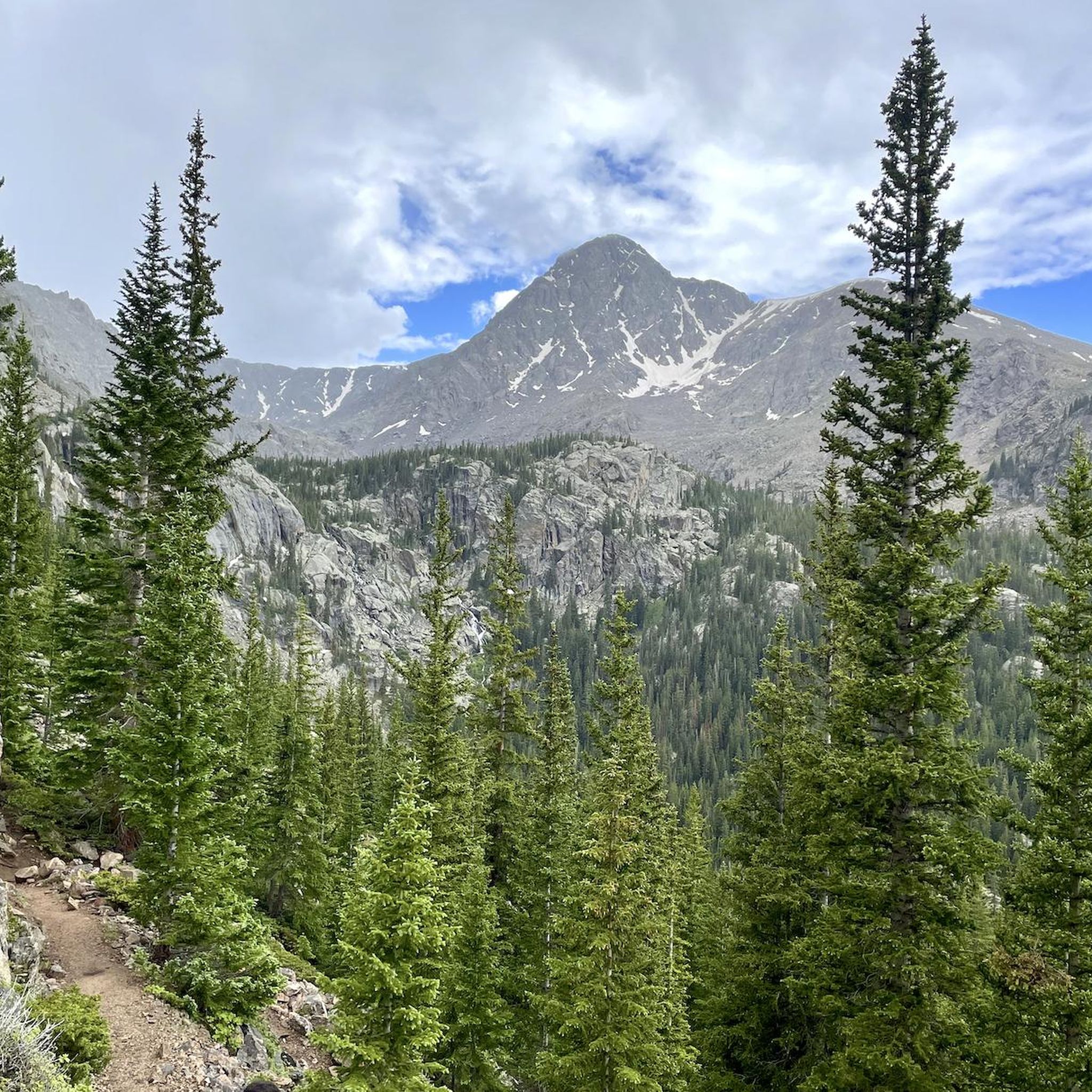
Road cycling routes near Holy Cross Wilderness are found in the surrounding region of the San Isabel and White River National Forests in Colorado. This area features rugged ridgelines, glacier-carved valleys, and spruce-fir forests. Elevations for road cycling routes typically range from 8,500 feet to over 14,000 feet, offering significant climbs. The landscape is characterized by numerous cascading streams and alpine lakes, providing varied terrain for cyclists.
Best road cycling routes in Holy Cross Wilderness
- The most popular road cycling…
Last updated: July 12, 2026
139km
06:33
1,320m
1,320m
Hard road ride. Very good fitness required. Mostly well-paved surfaces and easy to ride.
3
riders
50.0km
03:30
990m
990m
Hard road ride. Very good fitness required. Some segments of this route may be unpaved and difficult to ride.

Sign up for free
25
riders
40.0km
02:19
810m
810m
Moderate road ride. Good fitness required. Mostly well-paved surfaces and easy to ride.
9
riders
16.8km
00:51
210m
210m
Easy road ride. Great for any fitness level. Mostly well-paved surfaces and easy to ride.
8
riders
80.2km
04:04
1,180m
1,180m
Hard road ride. Very good fitness required. Some segments of this route may be unpaved and difficult to ride.
Get access to more routes and recommendations from other explorers.
Sign up for free
Already have an account?
Our route recommendations are based on thousands of hikes, rides, and runs completed by other people on komoot.
Start today with a free account
Your next adventure awaits.
Login or Signup
Popular around Holy Cross Wilderness
Tips from the Community

This trail runs through the valley along the Eagle River and I-70 corridor. It connects many towns and parks and offers great views along the way. It is a paved, multi-use path, so be courteous to your fellow trail users who may be going along at a slower pace.
0
0
As unique as it is beautiful the Red Cliff Bridge is Colorado's only cantilevered steel arch bridge. Originally constructed in 1940, the bridge was heavily restored in 2004. It has been listed on the National Register of Historic Places since 1985
0
0

The Eagle Valley Trail is a paved trail that runs between Dotsero and Vail in 3 disconnected segments. This section runs along the Eagle River and gives you great views of the water.
0
0

Avondale Lane takes riders right under the awning and loading area of Market Square at Beaver Creek. This area has hotels, shops, and an ice rink and is a popular winter and summer destination. The Beaver Creek architecture mimics the European Alpine village look.
0
0
Benchmark Lake Reservoir is also called Nottingham Lake and is a popular recreational spot. This area is often used for swimming, picnics, stand up paddle boards, boat rides, or walks on the trail around the lake.
0
0

This iconic bridge is located in Red Cliff, Colorado and is also known as the Red Cliff Bridge or Eagle River Bridge. Spanning the Eagle River, the Red Cliff Bridge is a distinctive historic landmark in the town.
0
0

Eagle, Colorado, is a scenic town located in Eagle County. Nestled along the Eagle River, it serves as a gateway to the Vail Valley and offers a blend of small-town charm and outdoor recreation. The town features a historic downtown with shops, restaurants, and cultural attractions. With easy access to outdoor activities like hiking, mountain biking, and fishing, Eagle appeals to all sorts of nature enthusiasts and outdoors people.
0
0
Frequently Asked Questions
How many road cycling routes are available in the Holy Cross Wilderness area?
There are over 25 road cycling routes available in the Holy Cross Wilderness area, catering to various skill levels. You'll find a mix of easy, moderate, and difficult options to explore.
What is the best season for road cycling near Holy Cross Wilderness?
The best season for road cycling in the Holy Cross Wilderness area is typically late spring through early fall, from June to September. During these months, roads are generally clear of snow, and the weather is most favorable for cycling at elevations ranging from 8,500 feet to over 14,000 feet.
Are there easy road cycling routes suitable for beginners?
Yes, there are several easy road cycling routes. For instance, the Market Square at Beaver Creek – Eagle Valley Trail loop from Beaver Creek is an easy 10.4-mile trail that can be completed in under an hour, offering a gentle introduction to the area's scenic beauty. Another option is the Gore Valley Trail, which is also rated easy.
Are there challenging road cycling routes for experienced cyclists?
Absolutely. The region is known for its demanding climbs and high elevations. Routes like the Turquoise Lake to Buena Vista loop, an 86.6-mile route with extensive climbs, or Minturn to Camp Hale, a difficult 31-mile path with challenging ascents, are popular among experienced riders.
What natural attractions can I see along road cycling routes near Holy Cross Wilderness?
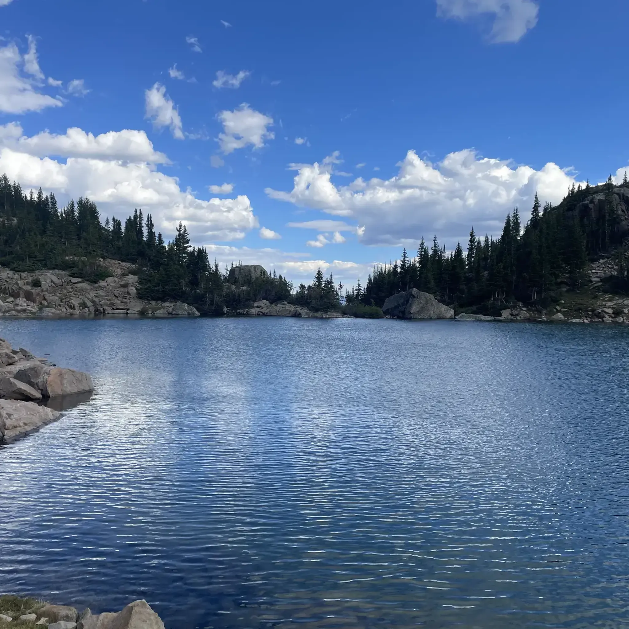
While cycling, you can enjoy views of rugged ridgelines, glacier-carved valleys, and spruce-fir forests. Nearby attractions include beautiful alpine lakes such as Bear Lake and Saint Kevin Lake. You might also catch glimpses of prominent peaks like Notch Mountain or the iconic Mount of The Holy Cross.
Are bicycles allowed within the designated Holy Cross Wilderness area?
No, bicycles and other mechanized transport are prohibited within the designated Holy Cross Wilderness area itself to preserve its pristine nature. However, the surrounding roads and trails just outside the wilderness boundary offer excellent road cycling opportunities.
Are there any circular road cycling routes in the area?
Yes, several circular routes are available. The Turquoise Lake to Buena Vista loop is a notable difficult option, while the Market Square at Beaver Creek – Eagle Valley Trail loop from Beaver Creek provides an easier circular ride.
What do other cyclists say about the road cycling routes here?
The road cycling routes in the Holy Cross Wilderness area are highly rated by the komoot community, with an average score of 3.3 stars from 5 reviews. Cyclists often praise the stunning mountain scenery, challenging climbs, and the diverse terrain found in the surrounding region.
Is parking available for road cyclists near the Holy Cross Wilderness routes?
Yes, parking is generally available at various access points and trailheads outside the wilderness boundary. For example, the region research mentions Gold Park Campground as a convenient starting point for exploring the wilderness, and there's also a 4wd parking area listed as a highlight, which may serve as an access point for some routes.
Are there towns with amenities near the cycling routes?
Yes, towns like Minturn, Vail, and Buena Vista are located near many of the road cycling routes. These towns typically offer amenities such as cafes, restaurants, bike shops, and accommodation, providing convenient stops for supplies and breaks during your ride.
What are the typical elevations for road cycling in this region?
Road cycling routes in the Holy Cross Wilderness area typically range from 8,500 feet to over 14,000 feet in elevation. This means cyclists should be prepared for significant climbs and be aware of the effects of high altitude.
Most popular routes in Holy Cross Wilderness
Most popular attractions in Holy Cross Wilderness

Get inspired with the komoot mobile app


Explore more
Browse the best Road cycling routes in other regions.
