The best running trails in Columbine-Hondo Wilderness
19
runners
3
runs
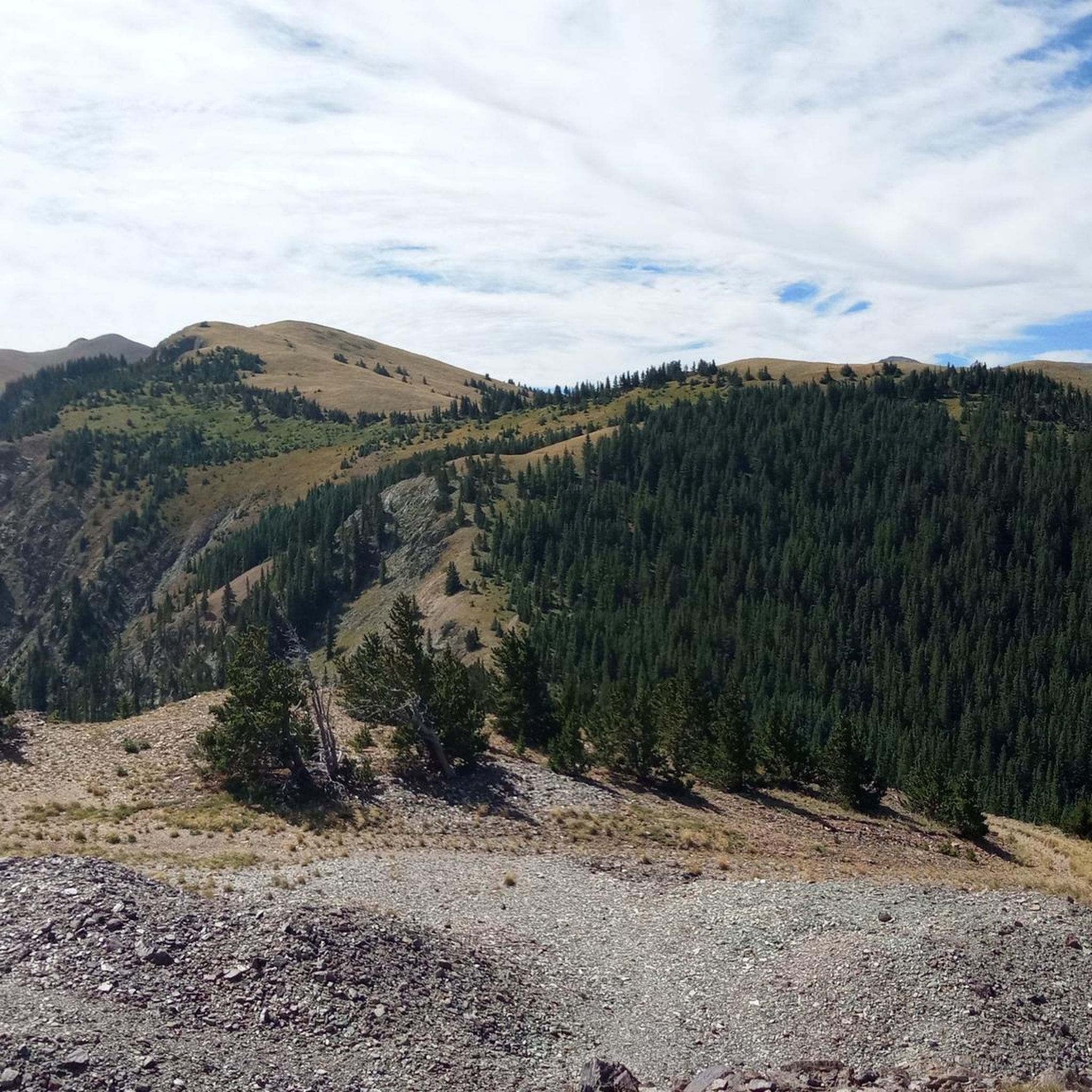
Jogging in Columbine-Hondo Wilderness offers a diverse landscape for runners, characterized by high-altitude mountain terrain and dense forests. The region features significant elevation changes, with routes leading to prominent peaks and through scenic valleys. Many running routes are loop trails, providing varied experiences within this designated wilderness area.
Best jogging routes in Columbine-Hondo Wilderness
- The most popular jogging route is Beaver Pond loop from Taos Ski Valley, a 7.0 miles (11.3 km) trail that takes 1 hour 49 minutes…
Last updated: July 8, 2026
10
runners
11.3km
01:49
700m
700m
Hard run. Very good fitness required. Mostly paved surfaces. Suitable for all skill levels.
7
runners
22.3km
03:15
930m
930m
Hard run. Very good fitness required. Sure-footedness, sturdy shoes and alpine experience required.

Sign up for free
2
runners
8.75km
01:05
90m
80m
Moderate run. Good fitness required. Mostly paved surfaces. Suitable for all skill levels.
Our route recommendations are based on thousands of hikes, rides, and runs completed by other people on komoot.
Start today with a free account
Your next adventure awaits.
Login or Signup
Popular around Columbine-Hondo Wilderness
Frequently Asked Questions
How many running routes are available in Columbine-Hondo Wilderness?
Komoot features several running routes in the Columbine-Hondo Wilderness. Currently, there are 4 detailed routes, ranging from moderate to difficult, allowing you to explore the diverse mountain terrain.
Are there any easy or beginner-friendly jogging trails in Columbine-Hondo Wilderness?
The Columbine-Hondo Wilderness is known for its challenging, high-altitude mountain terrain. While most routes are difficult, there is one moderate option: the Chawalauna Overlook loop from Wild Rivers Visitor Center. This 5.4-mile path offers a less strenuous experience with scenic views.
What are the best long-distance running routes in the Columbine-Hondo Wilderness?
For those seeking longer distances, the Fraser Mountain – Bull-of-the-Woods Mountain loop from Taos Ski Valley is a challenging 13.9-mile trail. Another excellent option is the Wheeler Peak – Mount Walter loop from Taos Ski Valley, covering 9.1 miles with significant elevation gain.
Are dogs allowed on the running trails in Columbine-Hondo Wilderness?
As a designated wilderness area, dogs are generally permitted on trails in the Columbine-Hondo Wilderness, but they must be kept on a leash at all times. Always practice Leave No Trace principles, including packing out all pet waste, to protect the delicate ecosystem and wildlife.
Are there any family-friendly running routes in the Columbine-Hondo Wilderness?
Given the high-altitude and often challenging terrain, most routes in the Columbine-Hondo Wilderness are better suited for experienced runners. However, the Chawalauna Overlook loop from Wild Rivers Visitor Center is a moderate option that might be suitable for families with older children who are accustomed to trail running.
What is the best time of year to go jogging in Columbine-Hondo Wilderness?
The best time for jogging in Columbine-Hondo Wilderness is typically from late spring through early fall (June to September). During these months, trails are generally free of snow, and the weather is more favorable. Always check current weather conditions, especially for high-altitude areas, as they can change rapidly.
Are there loop running trails in Columbine-Hondo Wilderness?
Yes, many of the running routes in Columbine-Hondo Wilderness are loop trails, offering varied scenery without retracing your steps. Examples include the popular Beaver Pond loop from Taos Ski Valley and the Chawalauna Overlook loop.
Do I need a permit to jog in Columbine-Hondo Wilderness?
Generally, no permits are required for day-use jogging in the Columbine-Hondo Wilderness. However, if you plan to camp overnight, a wilderness permit may be necessary. Always check with the local U.S. Forest Service office for the most current regulations before your visit.
Where can I find parking for the running trails?
Many of the routes in Columbine-Hondo Wilderness start from established trailheads with parking facilities. For example, routes like the Beaver Pond loop and the Fraser Mountain – Bull-of-the-Woods Mountain loop begin near Taos Ski Valley, which offers parking options. The Chawalauna Overlook loop starts from the Wild Rivers Visitor Center, which also has parking.
What kind of wildlife might I spot while running in Columbine-Hondo Wilderness?
The Columbine-Hondo Wilderness is home to diverse wildlife. Runners might encounter elk, deer, bighorn sheep, and various bird species. Keep an eye out for smaller mammals like marmots and pikas in higher elevations. Remember to maintain a respectful distance and never feed wild animals.
What should I wear for trail running in Columbine-Hondo Wilderness?
Given the high-altitude and variable mountain weather, it's crucial to dress in layers. Opt for moisture-wicking athletic wear, sturdy trail running shoes with good grip, and bring a lightweight waterproof jacket. Sun protection (hat, sunglasses, sunscreen) is also essential due to the elevation.
Most popular routes in Columbine-Hondo Wilderness

Get inspired with the komoot mobile app


