The best road cycling routes in Big Branch Wilderness
4.7
(3)
50
riders
4
rides
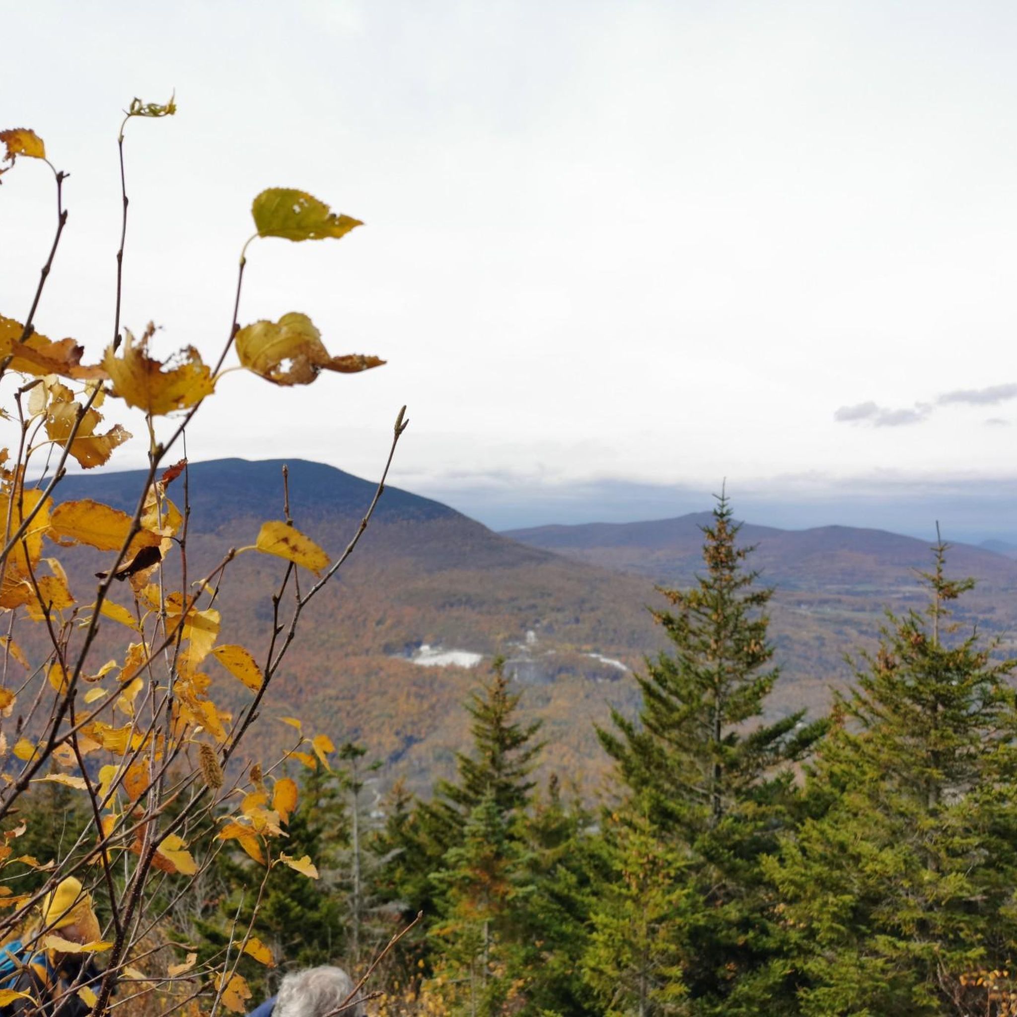
Road cycling in Big Branch Wilderness is not permitted within the designated wilderness area itself, which restricts mechanized transport to preserve its natural character. However, the broader Green Mountain National Forest and surrounding regions of Vermont offer extensive road cycling opportunities. The landscape features northern hardwood forests, steep slopes of the Green Mountains, and various water bodies like streams and ponds. The area provides a diverse terrain for road cyclists outside the wilderness boundaries.
Best road cycling routes in Big…
Last updated: July 13, 2026
5.0
(1)
12
riders
44.7km
02:34
590m
590m
Moderate road ride. Good fitness required. Some segments of this route may be unpaved and difficult to ride.
4.0
(1)
11
riders
38.0km
02:29
510m
510m
Moderate road ride. Good fitness required. Some segments of this route may be unpaved and difficult to ride.

Sign up for free
9
riders
46.9km
02:40
710m
710m
Moderate road ride. Good fitness required. Some segments of this route may be unpaved and difficult to ride.
7
riders
31.8km
01:20
220m
220m
Easy road ride. Great for any fitness level. Mostly well-paved surfaces and easy to ride.
4
riders
36.5km
01:41
330m
330m
Moderate road ride. Good fitness required. Mostly well-paved surfaces and easy to ride.
Our route recommendations are based on thousands of hikes, rides, and runs completed by other people on komoot.
Start today with a free account
Your next adventure awaits.
Login or Signup
Popular around Big Branch Wilderness
Tips from the Community

Lyons Pond can be seen glistening between the tall pine trees. Many years ago, ice from the pond was stored in ice houses for use in food preservation during the summer. The ice was packed into the houses with sawdust and it was surprisingly effective. If done well, it could remain frozen for several years.
0
0

Hapgood Pond is a 12-acre pond that is 12 feet deep at its deepest point. This pond is within a recreation area of the same name. The recreation area has a campground, restrooms, picnic tables, and a swimming beach.
0
0

The Mill Pond is a small pond off of the scenic West River in Londonderry, Vermont. It is just east of downtown Londonderry where you can get a bite to eat on your ride.
0
0
Lyons Pond can be seen glistening between the tall pines trees. Many years ago, ice from the pond was stored in icehouses for use in food preservation during the summer. The ice was packed into the houses with sawdust and it was surprisingly effective. If done well, it could remain frozen for several years.
0
0

This old village is register as a US Historic site. It has well-preserved mid-19th century houses.
0
0
Frequently Asked Questions
Can I road cycle directly within the Big Branch Wilderness area?
No, road cycling is not permitted within the designated Big Branch Wilderness area itself. Wilderness areas typically restrict mechanized transport, including bicycles, to preserve their natural character. However, the broader Green Mountain National Forest and surrounding regions of Vermont offer extensive and scenic road cycling opportunities.
What kind of road cycling routes can I find near Big Branch Wilderness?
The region surrounding Big Branch Wilderness, within the Green Mountain National Forest and Vermont, offers a variety of road cycling routes. You'll find routes winding through northern hardwood forests, past scenic ponds, and over the rolling terrain of the Green Mountains. These routes often feature moderate to challenging climbs and descents.
Are there any family-friendly road cycling routes in the area?
While the routes listed in this guide are generally moderate to difficult, the broader Vermont region is known for its diverse cycling options, including quieter back roads that can be suitable for families. For specific family-friendly routes, it's best to check local resources or komoot for routes explicitly marked as easy or suitable for all ages in the wider Green Mountain National Forest area.
What are some popular loop routes for road cycling near Big Branch Wilderness?
Several popular loop routes are available. For example, the Hapgood Pond – Lyons Pond loop from Hapgood Pond Recreation Area is a moderate 27.8-mile route. Another favorite is the The Mill Pond – Hapgood Pond loop from Peru, offering views of both ponds over 23.6 miles.
What is the best season for road cycling in the Big Branch Wilderness region?
The best seasons for road cycling in the region are typically spring, summer, and fall. During these months, the weather is generally pleasant, and the scenery is vibrant, from lush green forests to stunning fall foliage. Winter cycling can be challenging due to snow and ice, making many routes impassable or requiring specialized equipment.
What kind of wildlife might I encounter while road cycling in the area?
While cycling on roads outside the wilderness, you might encounter various wildlife native to the Green Mountain National Forest. This includes wild turkeys, white-tailed deer, and occasionally beavers or moose. Black bears are also present in the region, so it's always wise to be aware of your surroundings.
Are there challenging road cycling routes available?
Yes, the region offers challenging routes with significant elevation changes. For instance, the Ludlow Municipal Forest loop from White Rocks National Recreation Area Parking is a difficult 38.2-mile route with nearly 3,165 feet of elevation gain. The broader Mad River Valley, known for its steep climbs, is also within reach for those seeking more demanding rides.
Where can I park when accessing road cycling routes near Big Branch Wilderness?
Parking is typically available at designated recreation areas or trailheads that serve as starting points for routes. For example, the Hapgood Pond – Lyons Pond loop starts from Hapgood Pond Recreation Area, which usually offers parking facilities. Always check specific route details for recommended parking locations.
What do other road cyclists say about the routes in this area?
The road cycling routes in the region are highly rated by the komoot community, with an average score of 4.5 stars. Cyclists often praise the scenic beauty of the Green Mountain slopes, the dense hardwood forests, and the picturesque pond loops that define the area's cycling experience.
Are there any scenic viewpoints along the road cycling routes?
The routes in this region are inherently scenic, winding through the Green Mountains and past various water bodies. While specific named viewpoints might not be marked on every route, the natural landscape itself, with its forests, hills, and ponds like Hapgood and Mill Pond, offers continuous picturesque vistas throughout your ride.
How many road cycling routes are featured in this guide for the Big Branch Wilderness region?
This guide highlights five distinct road cycling routes in the region surrounding Big Branch Wilderness. These routes range from moderate to difficult in intensity, offering diverse experiences for cyclists.
Can I find cafes or places to refuel along the road cycling routes?
While the routes themselves often traverse rural areas, towns and villages in the broader Green Mountain National Forest region, such as Peru or Ludlow, typically offer amenities like cafes, general stores, or small eateries where you can refuel and rest. It's always a good idea to plan your route and check for services in advance.

Get inspired with the komoot mobile app


Explore more
Browse the best Road cycling routes in other regions.
