The best running trails in Blackridge Wilderness
22
runners
8
runs
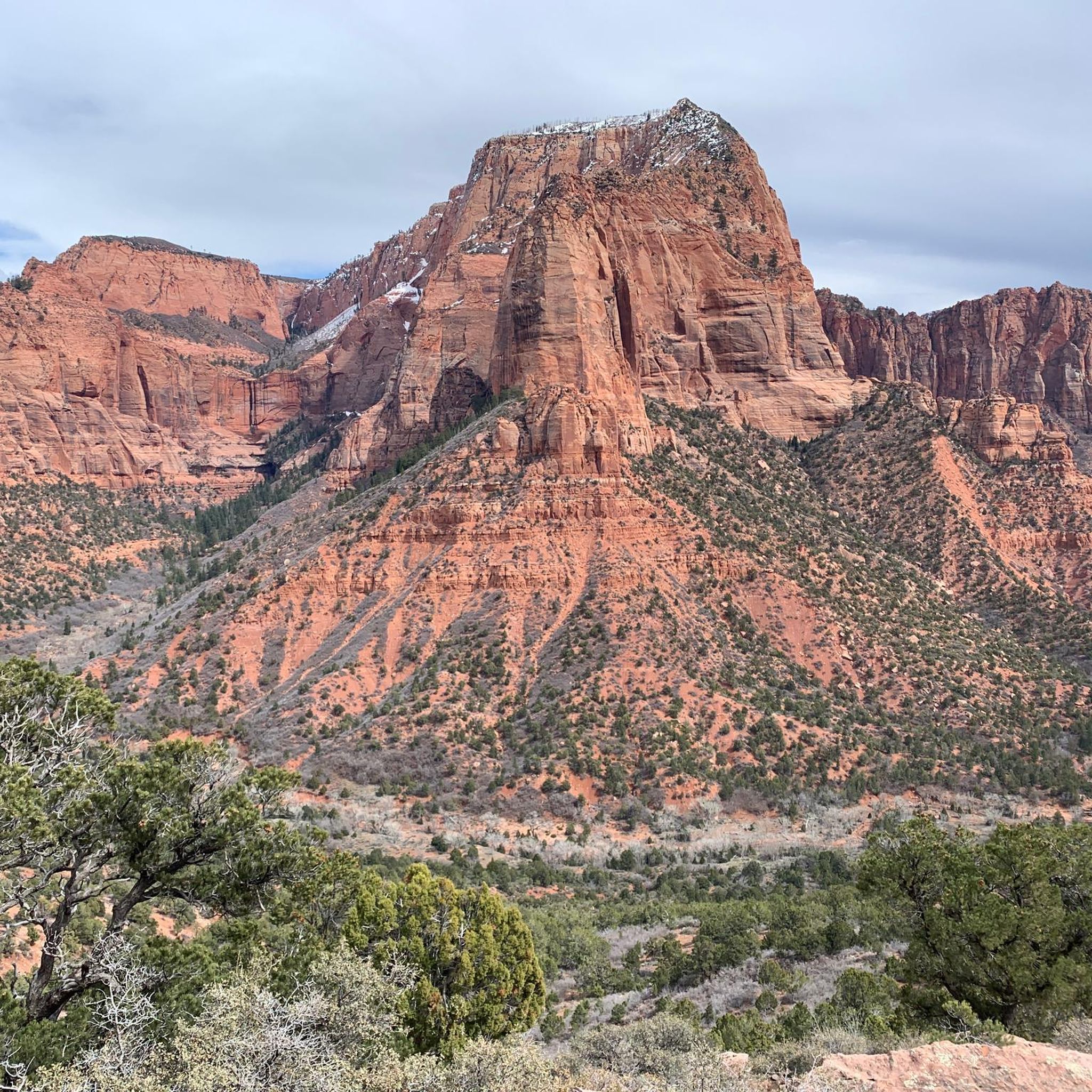
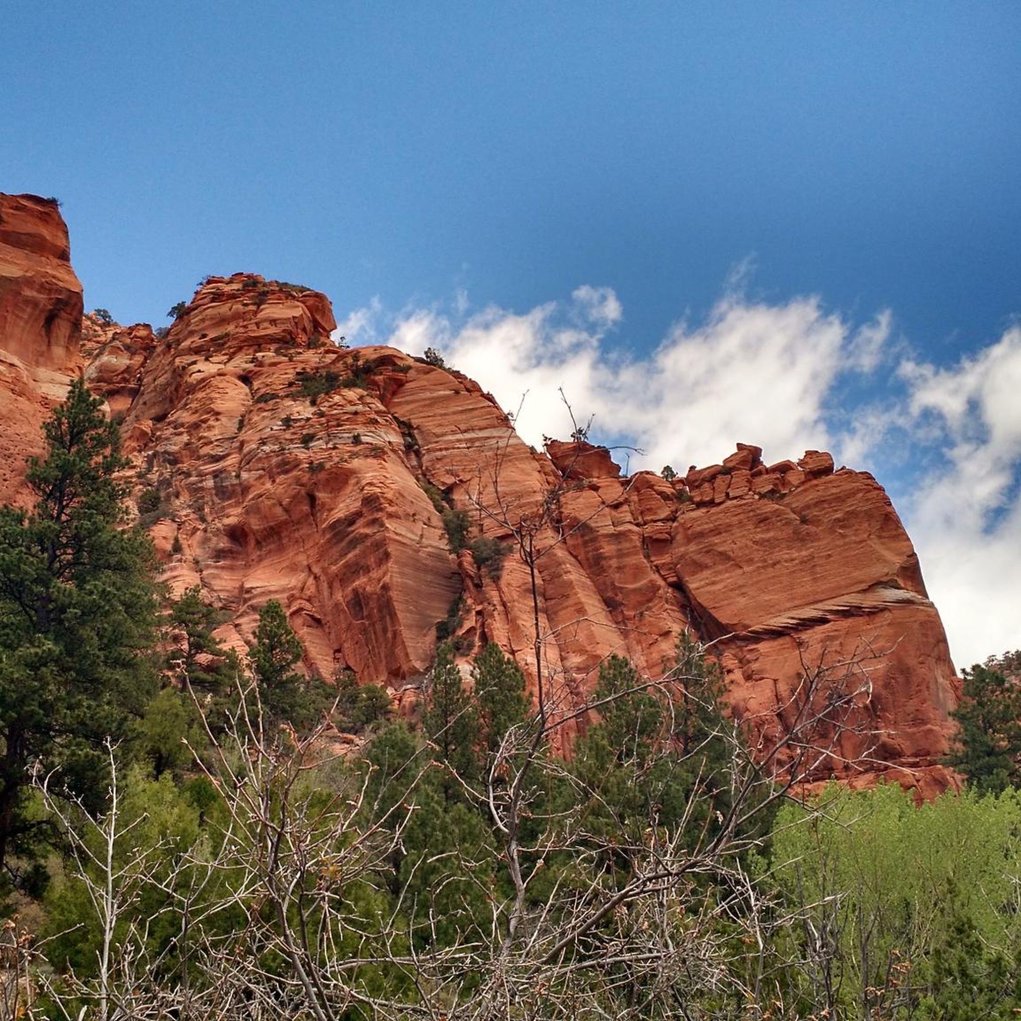
Jogging in Blackridge Wilderness offers diverse terrain characterized by rugged sedimentary cliffs and deep canyons carved from red Navajo Sandstone. The region features significant elevation changes, with varied topography creating ecosystems from ponderosa pine forests to desert vegetation. Joggers can experience striking red rock canyons and geological formations, providing a dramatic backdrop for outdoor activity. These varied landscapes offer both challenging inclines and scenic routes for running.
Best jogging routes in Blackridge Wilderness
- The most popular jogging route is Rattlesnake…
Last updated: June 25, 2026
8.72km
01:02
220m
220m
Jog this 5.4-mile moderate loop to Toquerville Falls, gaining 719 feet, and experience Southern Utah's scenic desert landscapes.
1
runners
17.5km
02:09
250m
250m
Jog the difficult 10.9-mile Hurricane Rim and JEM Trail Loop, gaining 818 feet in elevation with views of the Virgin River Gorge.

Sign up for free
6
runners
7.23km
00:47
90m
90m
Moderate run. Good fitness required. Mostly paved surfaces. Suitable for all skill levels.
5
runners
Moderate run. Good fitness required. Mostly paved surfaces. Suitable for all skill levels.
4
runners
9.36km
01:11
220m
220m
Moderate run. Good fitness required. Mostly paved surfaces. Suitable for all skill levels.
Get access to more routes and recommendations from other explorers.
Sign up for free
Already have an account?
Our route recommendations are based on thousands of hikes, rides, and runs completed by other people on komoot.
Start today with a free account
Your next adventure awaits.
Login or Signup
Popular around Blackridge Wilderness


Tips from the Community

This gravel shortcut connects to the main road, a good opportunity for a change of terrain and a different perspective on the landscape.
1
0

River Rock Roasting Company is a local favorite with coffee and full-size entrees. The cafe's back patio has a beautiful view of a canyon and the Virgin River, as well as mountain vistas in the background.
1
0

Toquerville Falls is a spectacular set of waterfalls on La Verkin Creek. The creek makes for a great swim spot, so it's refreshing escape from the desert heat.
0
0
The Virgin River is 162 miles long and runs through Zion National Park. It empties into Lake Mead.
0
0

Good spot to take a break. convenient store, picnic tables, and shade. Rest spot before the long hill climb towards Zion.
0
0

Lower JEM Trail is super fun. It’s a great climb up and a fast, flowing descent. A great way to start and end your ride at the Hurricane Cliffs Trail System.
2
0
My favorite café in the area: tasty coffee, awesome views and the best cinnamon rolls in the world.
1
0

Frequently Asked Questions
What kind of terrain can I expect on running routes in Blackridge Wilderness?
Jogging in Blackridge Wilderness offers a diverse landscape characterized by rugged sedimentary cliffs, deep canyons carved from red Navajo Sandstone, and significant elevation changes. You'll encounter varied topography, from ponderosa pine forests at higher elevations to desert vegetation at lower levels, providing both challenging inclines and scenic routes.
Are there easy jogging routes suitable for beginners in Blackridge Wilderness?
Yes, Blackridge Wilderness offers several moderate routes that are suitable for beginners or those looking for a less strenuous run. For example, the Rattlesnake Gulch and Toquerville Falls Loop is a moderate 5.4-mile trail with a gradual elevation gain, leading to scenic waterfalls. Another good option is the La Verkin Overlook – Gravel shortcut loop from La Verkin, which is a moderate 5.8-mile route.
Are there any challenging running trails for experienced runners?
Absolutely. For experienced runners seeking a challenge, Blackridge Wilderness features difficult routes with significant distances and elevation changes. The La Verkin Creek Trail – Kolob Arch loop from Kanarraville is a difficult 14.0-mile path, offering a demanding experience through varied wilderness terrain. Another challenging option is the Hurricane Rim and JEM Trail Loop, a difficult 10.9-mile trail.
What is the best time of year to go jogging in Blackridge Wilderness?
The best times to visit Blackridge Wilderness for jogging are spring and autumn. Summer temperatures can often exceed 100°F (38°C), making runs during these months very challenging and potentially unsafe. Spring runoff and summer thunderstorms can also bring seasonal waterfalls, adding to the scenic beauty.
Can I expect to see any wildlife or scenic viewpoints while running?
Yes, Blackridge Wilderness is rich in wildlife, including deer, elk, foxes, and various bird species, including seven different species of raptors. The region also boasts incredible scenic vistas. Black Ridge, a major geological feature, offers expansive viewpoints into Zion National Park, Canaan Mountain, and the Pine Valley Mountains, providing breathtaking backdrops for your run.
Are there any circular jogging routes available?
Many of the routes in Blackridge Wilderness are designed as loops, offering a circular experience. For instance, the Rattlesnake Gulch and Toquerville Falls Loop is a popular circular trail. The Hurricane Rim and JEM Trail Loop also provides a circular path through diverse landscapes.
Are there any waterfalls along the jogging trails?
Yes, the region features dramatic red rock canyons and geological formations, and waterfalls can be observed, particularly during spring runoff and after summer thunderstorms. The Rattlesnake Gulch and Toquerville Falls Loop specifically leads to the scenic Toquerville Falls.
What should I know about cell service and navigation in Blackridge Wilderness?
Cell service can be limited or non-existent in many parts of Blackridge Wilderness. It is highly recommended to carry a physical map or download offline maps on your device before heading out to ensure you can navigate safely and effectively.
How many jogging routes are available in Blackridge Wilderness?
There are over 9 jogging routes documented in Blackridge Wilderness, ranging in difficulty from moderate to difficult. This includes a variety of trails suitable for different fitness levels and preferences.
Are there any hidden gem running routes in Blackridge Wilderness?
While many routes offer stunning scenery, the Great rest spot before the hill loop from La Verkin is a moderate 5.6-mile route that offers a unique experience with a relatively gentle elevation profile, making it a pleasant discovery for those looking for a less-trafficked path.
What are the typical distances of jogging routes in Blackridge Wilderness?
The jogging routes in Blackridge Wilderness vary significantly in length. You can find shorter, moderate trails around 5-6 miles, such as the Rattlesnake Gulch and Toquerville Falls Loop (5.4 miles). For longer runs, there are challenging options like the La Verkin Creek Trail – Kolob Arch loop from Kanarraville, which spans 14.0 miles.
Most popular routes in Blackridge Wilderness

Get inspired with the komoot mobile app


Explore more
Browse the best Running Trails & Routes in other regions.
