The best road cycling routes around Forst Detter-Süd
4.6
(152)
1,954
riders
70
rides
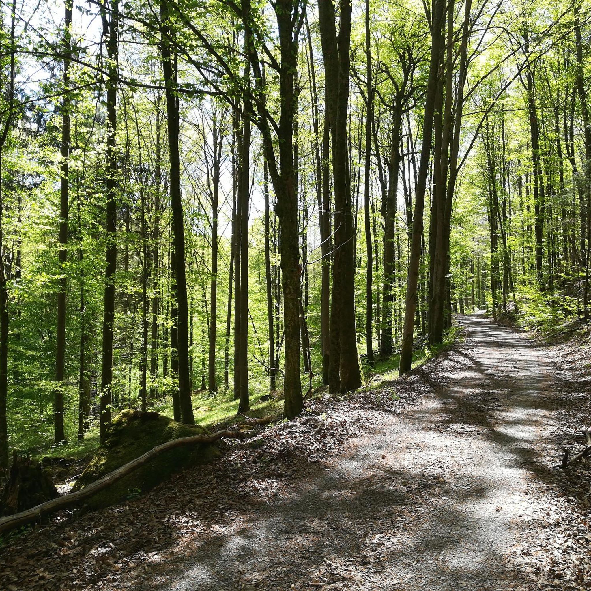
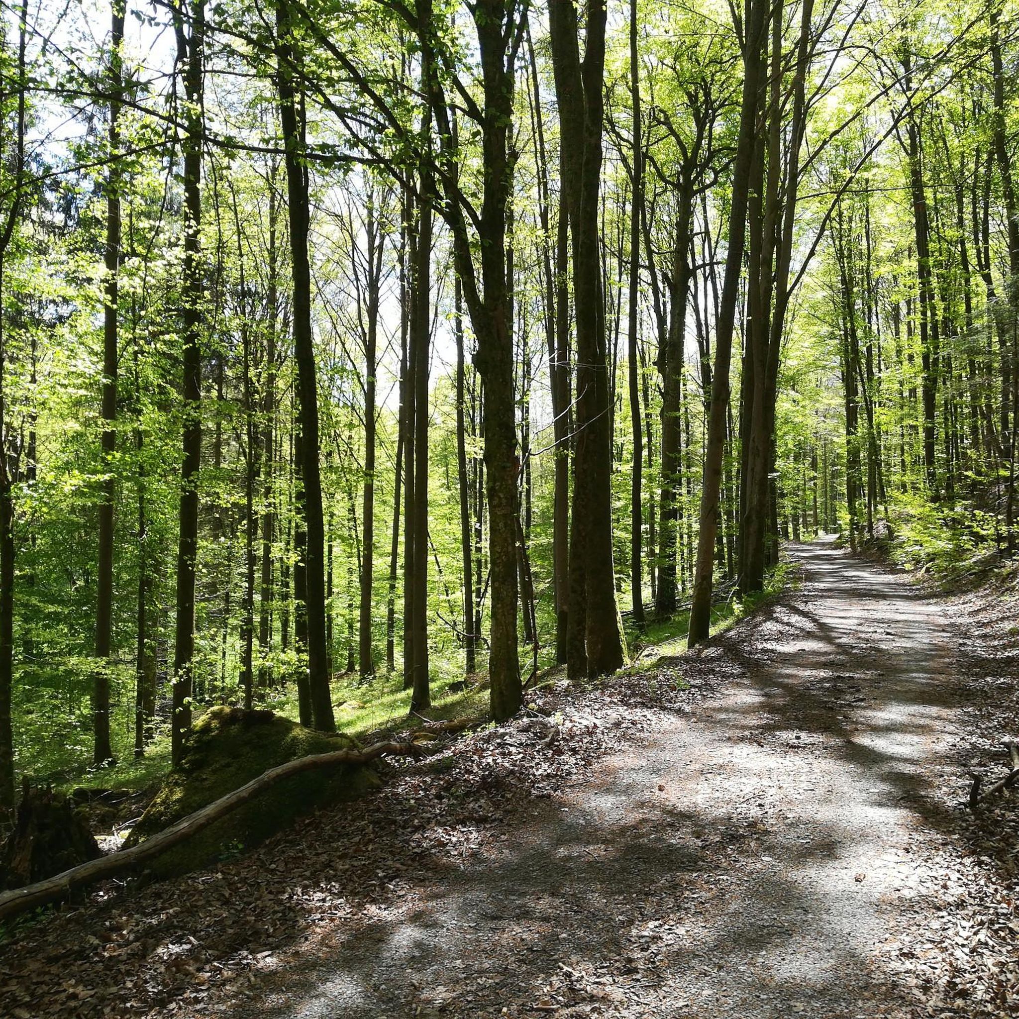
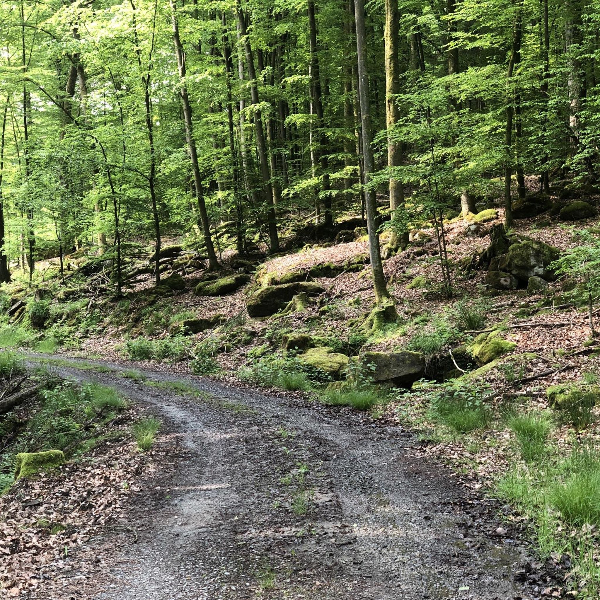
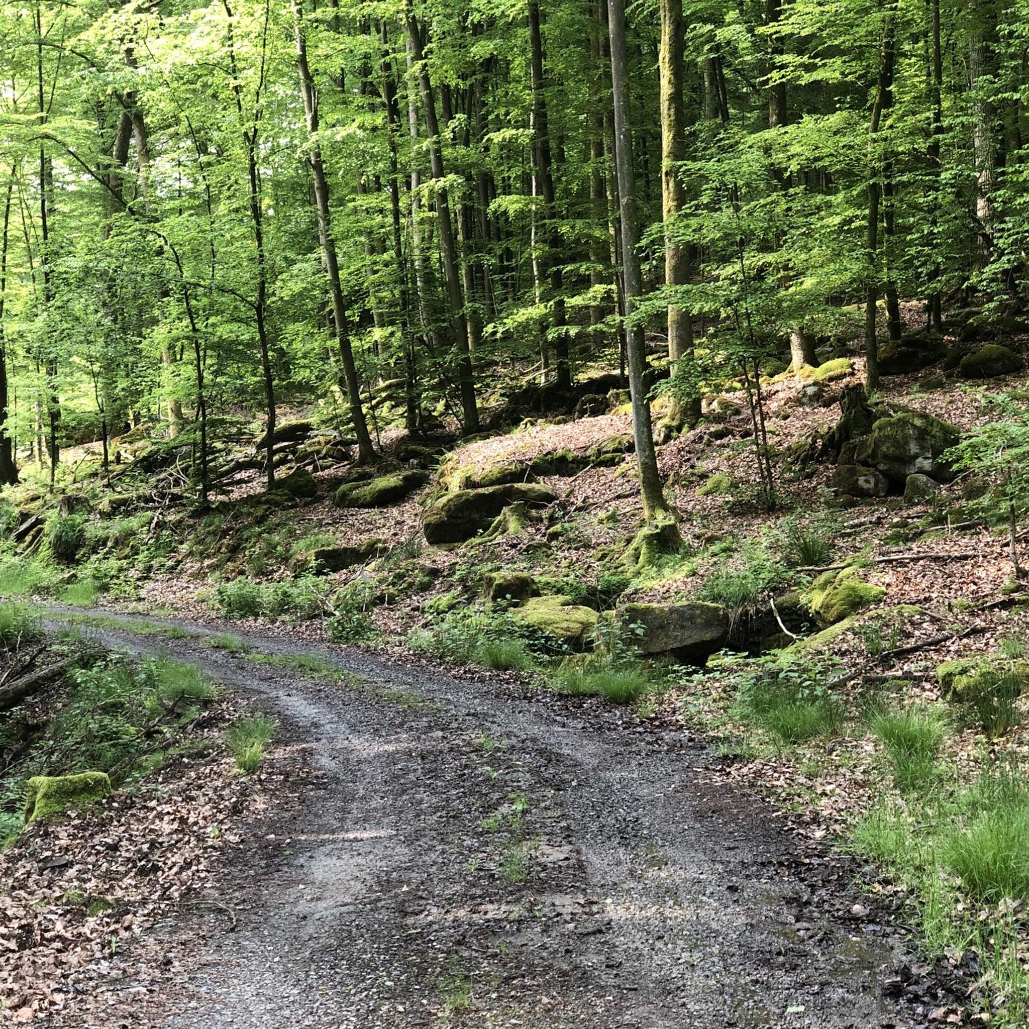
Road cycling routes around Forst Detter-Süd traverse a diverse volcanic landscape within the UNESCO Biosphere Reserve, characterized by conical hills, expansive plateaus, and scenic river valleys. While Forst Detter-Süd itself is a completely forested area, the surrounding Rhön region offers routes through sweeping meadows and pristine beech forests. Cyclists can expect varied terrain, including climbs and descents, with the highest elevation in Forst Detter-Süd reaching 428 meters. The area features predominantly tarmacked paths and quiet roads, suitable for road bikes.
…Last updated: July 3, 2026
5.0
(3)
64
riders
Moderate road ride. Good fitness required. Mostly well-paved surfaces and easy to ride.
5.0
(2)
34
riders
55.4km
02:33
570m
570m
Moderate road ride. Good fitness required. Mostly well-paved surfaces and easy to ride.

Sign up for free
4.0
(1)
26
riders
48.2km
02:21
710m
710m
Moderate road ride. Good fitness required. Mostly well-paved surfaces and easy to ride.
8
riders
33.9km
01:46
590m
590m
Moderate road ride. Good fitness required. Some segments of this route may be unpaved and difficult to ride.
6
riders
24.3km
01:12
380m
380m
Moderate road ride. Good fitness required. Mostly well-paved surfaces and easy to ride.
Get access to more routes and recommendations from other explorers.
Sign up for free
Already have an account?
Our route recommendations are based on thousands of hikes, rides, and runs completed by other people on komoot.
Start today with a free account
Your next adventure awaits.
Login or Signup
Tips from the Community

Best asphalted (as of July 2026). It goes up and down (not a river bike path!), but also doesn't have more altitude meters than the road and is shady and absolutely car-free.
0
0

Probably the most beautiful section of the Saale Valley Cycle Path. You can hardly get this close to the Saale River anywhere else.
0
0

Near the Sinn Bridge stands the photogenic old town hall. Some information for visitors can be found in front of it.
4
0

The Rhönexpress Railway Cycle Path, brand new and completed in 2019, is a truly unique experience. The approximately 26 km long route runs from the Hessian border near Zeitlofs to the market town of Wildflecken along the former railway line. Source and further information about this beautiful cycle path can be found at: https://rhoenexpress.bayern/
0
0
The Rhönexpress Railway Cycle Path, brand new and completed in 2019, is a truly unique experience. The approximately 26 km long route runs from the Hessian border near Zeitlofs to the market town of Wildflecken along the former railway line. Source and further information about this beautiful cycle path can be found at: https://rhoenexpress.bayern/
2
0
The Rhönexpress Railway Cycle Path, brand new and completed in 2019, is a truly unique experience. The approximately 26 km long route runs from the Hessian border near Zeitlofs to the market town of Wildflecken along the former railway line. Source and further information about this beautiful cycle path can be found at: https://rhoenexpress.bayern/
1
0
This is a wonderful place for road cycling. Along the Saale River with a view of the Gumberg. If you don't get your money's worth here, it's your own fault.
1
0
A beautiful section of cycle path along the Saale River. A pleasure even on a fast racing bike...
0
0
Frequently Asked Questions
What kind of terrain can I expect on road cycling routes around Forst Detter-Süd?
The region offers a diverse and picturesque volcanic landscape. You'll find routes traversing conical hills, expansive plateaus, and scenic river valleys. While Forst Detter-Süd itself is densely forested, the surrounding Rhön Biosphere Reserve features sweeping meadows and pristine beech forests. Expect varied terrain, including climbs and descents, with the highest elevation in Forst Detter-Süd reaching 428 meters.
Are there road cycling routes suitable for beginners or less experienced riders?
Yes, the network of road cycling routes around Forst Detter-Süd caters to various ability levels. Out of over 70 available routes, 4 are specifically rated as easy, offering a gentler introduction to the region's beautiful landscapes.
What are some notable natural features or attractions I can see along the road cycling routes?
The area is rich in natural beauty. You might encounter highlights such as the Franconian Saale Riverside Cycle Path, the tranquil Heiligkreuz Fish Ponds, or even the impressive Trettstein Waterfall. The Sodenberg Basalt Crater is another unique natural monument in the vicinity.
Are there any circular road cycling routes available?
Yes, many routes in the area are designed as loops, allowing you to start and finish in the same location. For example, the Saale River Bend at Gräfendorf – Thulba Cycle Path loop from Wartmannsroth is a popular moderate circular route.
What is the best time of year for road cycling in Forst Detter-Süd?
The Rhön region, including the area around Forst Detter-Süd, is beautiful throughout the warmer months. Spring brings blossoming meadows, while summer offers lush green forests. Autumn provides stunning foliage. The predominantly tarmacked paths are generally well-suited for cycling from spring through early autumn.
How do other road cyclists rate the routes in this region?
The road cycling routes around Forst Detter-Süd are highly regarded by the komoot community, with an average rating of 4.5 stars from over 130 reviews. Cyclists often praise the quiet roads, diverse landscapes, and the mix of challenging and scenic sections.
Are there options for longer road cycling tours?
Absolutely. While many routes are moderate in length, you can find longer options. For instance, the Saale Bridge – Saale River Bend at Gräfendorf loop from Wartmannsroth covers 55.5 km, offering a substantial ride through the scenic valleys.
What kind of road surfaces can I expect?
Road cycling routes in this area primarily feature predominantly tarmacked paths. While most roads are smooth and suitable for road bikes, you might encounter occasional unpaved or cobblestone sections, particularly when passing through historic villages.
Are there any routes that pass through towns or villages with amenities?
Yes, some routes will take you through or near charming towns. For example, the Bad Brückenau Old Town loop from Detter leads through varied terrain and past the historic Bad Brückenau Old Town, where you can find various amenities.
Is the area suitable for family-friendly road cycling?
While road cycling generally requires a certain level of fitness and road awareness, the region does offer easier routes that could be suitable for families with older children or those looking for a more relaxed ride. Look for routes rated as 'easy' to find the most family-friendly options.
What is the overall elevation gain like on routes around Forst Detter-Süd?
Given the volcanic landscape and varied terrain, routes often include significant elevation changes. For example, the Völkersleier–Heiligkreuz Road – Feuerbach Moor loop from Wartmannsroth involves over 580 meters of ascent, providing a good challenge for those seeking climbs.
Are there any specific viewpoints or scenic spots along the routes?
The Rhön is known as the 'Land of Open Distances,' offering expansive and unobstructed views. While specific named viewpoints within Forst Detter-Süd are not highlighted, the routes themselves provide numerous scenic vistas across meadows, forests, and river valleys, especially from higher elevations.
Most popular attractions around Forst Detter-Süd

Get inspired with the komoot mobile app


Explore more
Browse the best Road cycling routes in other regions.
