The best walks and hikes in Cottonwood Forest Wilderness
4.2
(11)
167
hikers
29
hikes
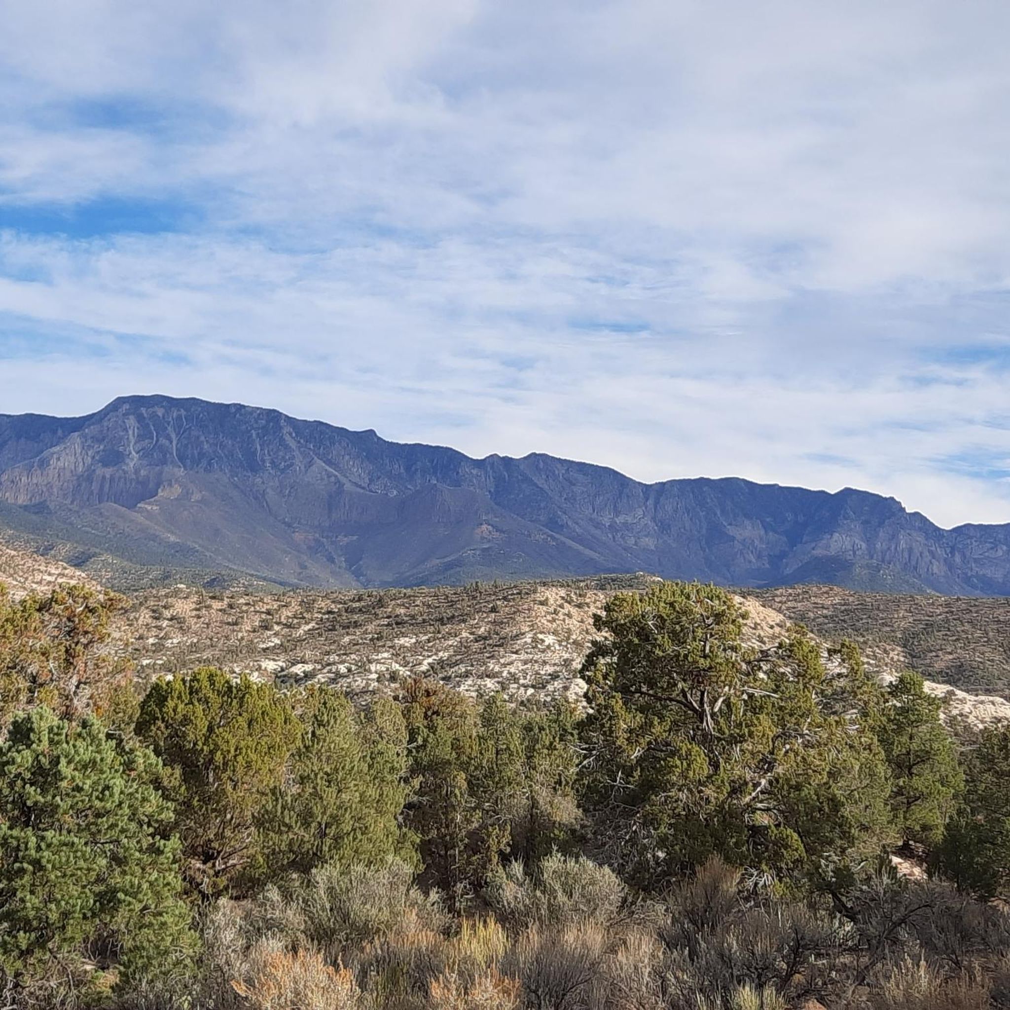
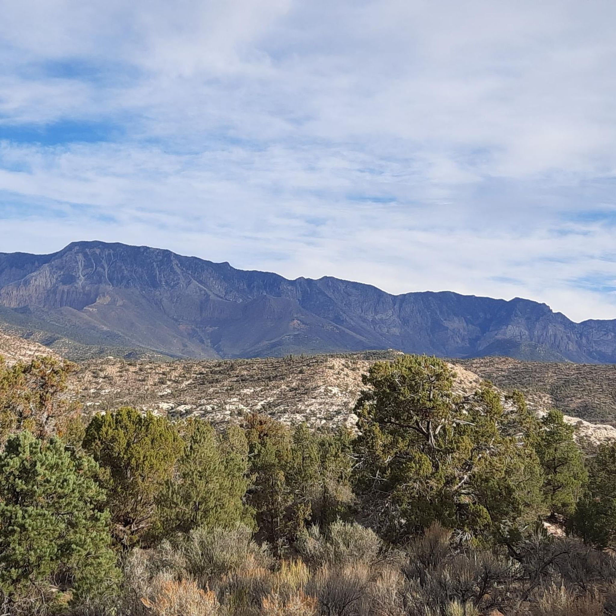
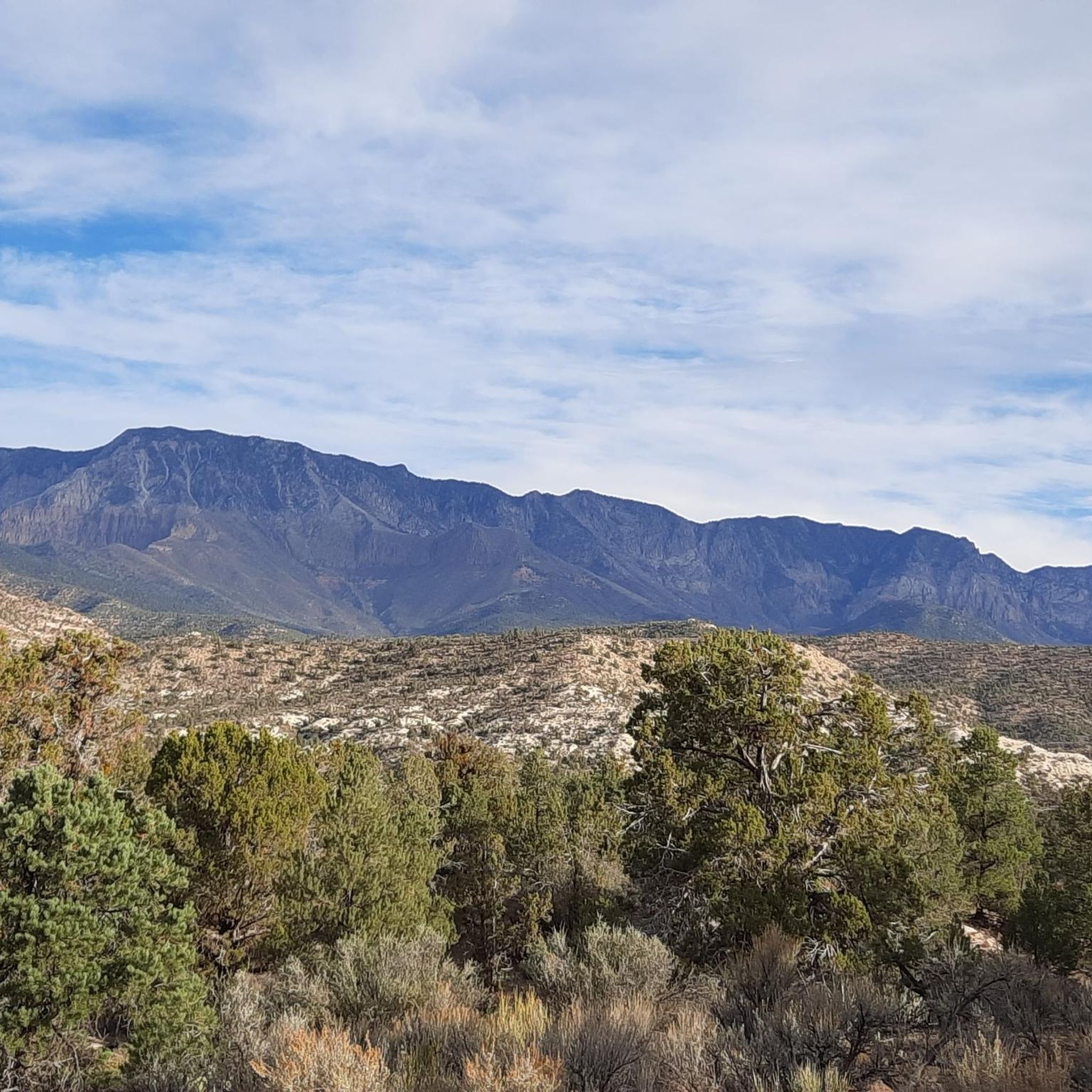
Hiking in Cottonwood Forest Wilderness explores a landscape of Jurassic-age Navajo Sandstone in Washington County, Utah. The region is characterized by red rock canyons, forested plateaus, and dry desert washes. The terrain transitions from Mojave Desert flora at lower elevations to pinyon pine and juniper on the rocky slopes.
Best hiking trails in Cottonwood Forest Wilderness
- The most popular hiking route is Dinosaur Footprint loop from Harrisburg, a 5.0 mile (8.0 km) trail that takes around 2 hours 10…
Last updated: July 8, 2026
3
hikers
1.25km
00:22
60m
0m
The Red Reef Trail, nestled in the Red Cliffs National Conservation Area, offers a vibrant journey through striking red rock formations and a scenic canyon. You'll follow a sandy wash…
6
hikers
7.96km
02:10
110m
110m
Moderate hike. Good fitness required. Easily-accessible paths. Suitable for all skill levels.

Sign up for free
5
hikers
1.48km
00:25
30m
30m
Easy hike. Great for any fitness level. Easily-accessible paths. Suitable for all skill levels.
1
hikers
798m
00:13
10m
10m
Step back in time on the Leeds Creek Kiln Trail, an easy 0.5-mile (0.8 km) loop that winds through a unique desert "pygmy forest" with just 23 feet (7 metres)…
5.0
(1)
7
hikers
2.16km
00:36
40m
40m
Easy hike. Great for any fitness level. Easily-accessible paths. Suitable for all skill levels.
Get access to more routes and recommendations from other explorers.
Sign up for free
Already have an account?
Our route recommendations are based on thousands of hikes, rides, and runs completed by other people on komoot.
Start today with a free account
Your next adventure awaits.
Login or Signup
Popular around Cottonwood Forest Wilderness
Tips from the Community

A waterfall along Quail Creek. There are many swimming pools and smaller falls around this area.
0
0
Frequently Asked Questions
Are there any easy, family-friendly hikes in the area?
Yes, there are several options suitable for families. For a very accessible and scenic walk, the trail around Silver Lake is a popular choice as it features a well-maintained boardwalk. Another great option is the Massive Dead Tree Trunk – Waterfall loop from Harrisburg, an easy 2.4-mile (3.9 km) walk that's manageable for most fitness levels.
Can I bring my dog on the trails?
Regulations for dogs can vary between the different wilderness areas and conservation lands. Generally, dogs must be kept on a leash to protect wildlife, such as the native desert tortoise, and the natural vegetation. It is always best to check the specific rules for the trail you plan to hike. For official regulations, consult the Bureau of Land Management website for the Cottonwood Canyon Wilderness.
Are there any hikes with waterfalls?
Yes, you can find waterfalls in this desert landscape, especially after rainfall. The region is known for its dramatic red rock canyons, and some routes lead to seasonal waterfalls. One such trail is the Red Reef Trail, which is known to feature a waterfall.
What should I pack for a day hike in Cottonwood Forest Wilderness?
Given the exposed desert environment, preparation is key. You should always carry:
- Plenty of water: More than you think you'll need, as sources on the trail are unreliable.
- Sun protection: A wide-brimmed hat, sunglasses, and high-SPF sunscreen are essential.
- Navigation tools: Many trails are not well-marked. A GPS device or the komoot app on your phone is highly recommended.
- Sturdy footwear: The terrain is often sandy or rocky.
- Snacks: For energy throughout your hike.
Are there good circular or loop hikes available?
Yes, the area offers several excellent loop trails that bring you back to your starting point without retracing your steps. A great moderate option is the Leeds Reef to White Reef loop — Red Cliffs Desert Reserve, which is a 3.6-mile (5.8 km) circuit through a beautiful sandstone landscape.
What is the best time of year to hike here?
Spring and fall are the ideal seasons for hiking in the Cottonwood Forest Wilderness. During these months, the temperatures are moderate and pleasant for hiking. Spring can be particularly beautiful with wildflower displays after good rains. Summers can be extremely hot, so if you hike then, you must start very early in the morning and carry extra water. Winters are cooler but can still be a good time to explore.
Do I need a permit for hiking or camping?
For day hiking, permits are generally not required. However, if you are planning an overnight backpacking trip or camping in the backcountry, a wilderness permit may be necessary. Regulations can change, so it's crucial to check with the local Bureau of Land Management (BLM) office for the most current requirements before your trip.
How many hiking trails are in the Cottonwood Forest Wilderness area?
There are over 20 designated hiking routes to explore in and around the Cottonwood Forest Wilderness. These range from easy walks in sandy washes to difficult scrambles through deep canyons, offering a wide variety of experiences for all skill levels.
Are there any trails where I can see dinosaur tracks?
Yes, the region is known for its preserved dinosaur tracks. The Dinosaur Footprint loop from Harrisburg is a moderate 5-mile (8 km) hike that takes you through sandy washes where you can spot these ancient footprints in the rock.
What do other hikers say about the trails in this region?
The hiking routes in Cottonwood Forest Wilderness are well-regarded by the komoot community. Hikers often praise the stunning red rock scenery, the sense of solitude, and the unique geological formations. The mix of sandy washes and rocky scrambles provides a varied and engaging hiking experience.
How difficult are the hikes in this area?
The difficulty varies widely. There are 9 easy trails perfect for casual walks, 11 moderate routes for those seeking a bit more of a challenge, and 2 difficult trails for experienced and well-prepared hikers. Always check the difficulty grade and elevation profile of a route before you start.
What are some popular places to hike near Cottonwood Forest Wilderness?
The entire region is a hub for outdoor activity. The Red Cliffs National Conservation Area is a major local landmark, famous for its dramatic red-rock cliffs and extensive trail network. For a different kind of scenery, the Silver Rim Trail — Dixie National Forest offers a beautiful hike with expansive views.

Get inspired with the komoot mobile app


Explore more
Browse the best Hikes in other regions.
