The best road cycling routes in Mount Rainier Wilderness
4.5
(2)
378
riders
10
rides
If you've ever tried to plan road cycling in Mount Rainier Wilderness, you know how quickly the options can become overwhelming. With so many roads winding through this incredible landscape, it's tough to know which routes are genuinely worth your time and effort, and which are just filler. That's where we come in. Our komoot community has mapped, ridden, and reviewed these routes, so we've done the legwork to bring you a curated shortlist of the ones that truly deliver.
…Last updated: May 10, 2026
4.0
(1)
28
riders
47.2km
02:36
1,030m
1,030m
If you're seeking a truly epic road cycling adventure with a serious climb, the Longmire, Paradise, Valley Road, and Ruby Falls loop delivers. This difficult 29.4-mile (47.2 km) route takes…
121
riders
75.4km
04:30
1,650m
1,650m
Hard road ride. Very good fitness required. Some segments of this route may be unpaved and difficult to ride.

25
riders
88.3km
05:02
1,900m
1,900m
Hard road ride. Very good fitness required. Some segments of this route may be unpaved and difficult to ride.
9
riders
Moderate road ride. Good fitness required. Some segments of this route may be unpaved and difficult to ride.
6
riders
22.9km
01:10
370m
370m
Moderate road ride. Good fitness required. Mostly well-paved surfaces and easy to ride.
Get access to more routes and recommendations from other explorers.
Already have an account?
Our route recommendations are based on thousands of hikes, rides, and runs completed by other people on komoot.
Start today with a free account
Your next adventure awaits.
Popular around Mount Rainier Wilderness
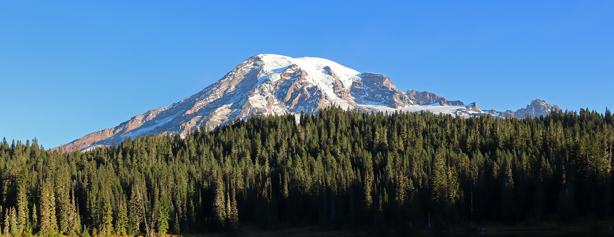
Wonderland Trail — 93 iconic miles around Mount Rainier
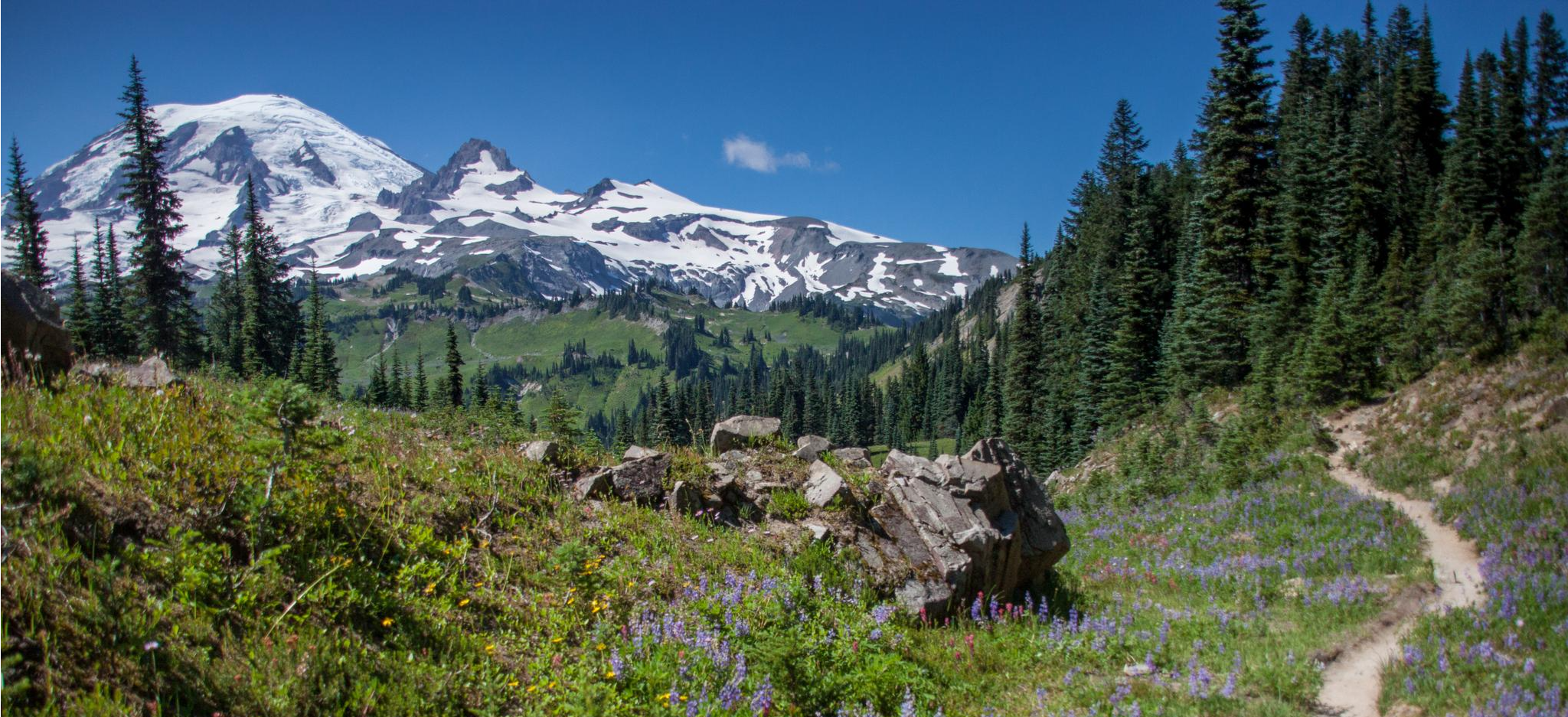
Wonderland Trail — 3-Day fastpacking through the dreamscape
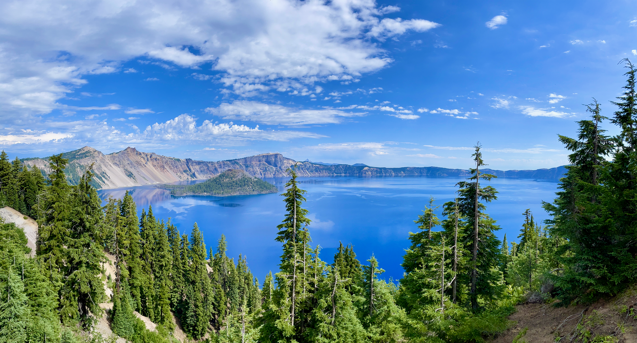
The pristine beauty of the US National Parks
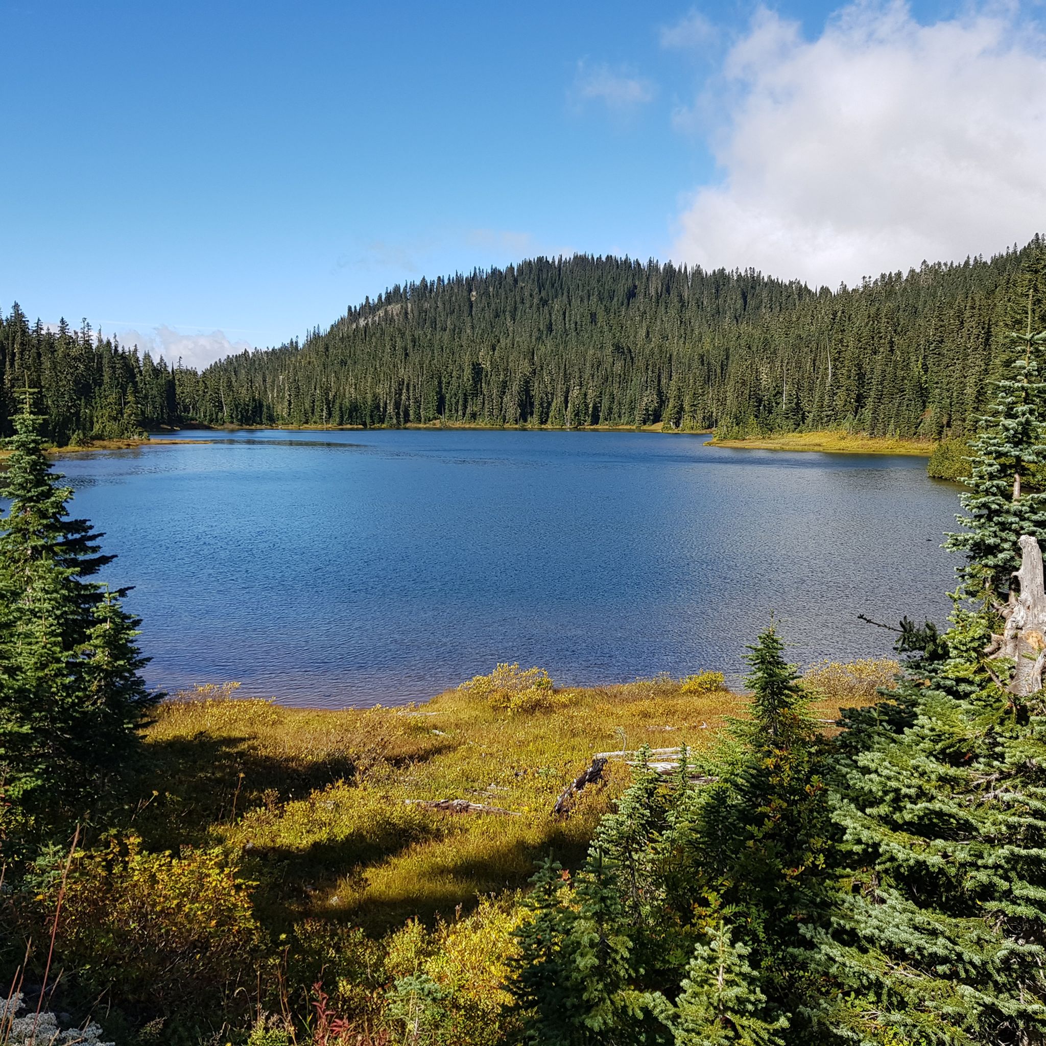
Hiking in Mount Rainier Wilderness
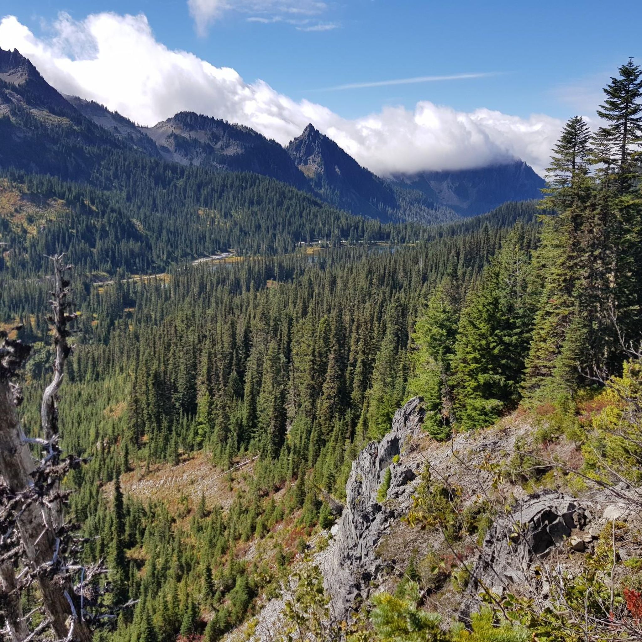
Cycling in Mount Rainier Wilderness
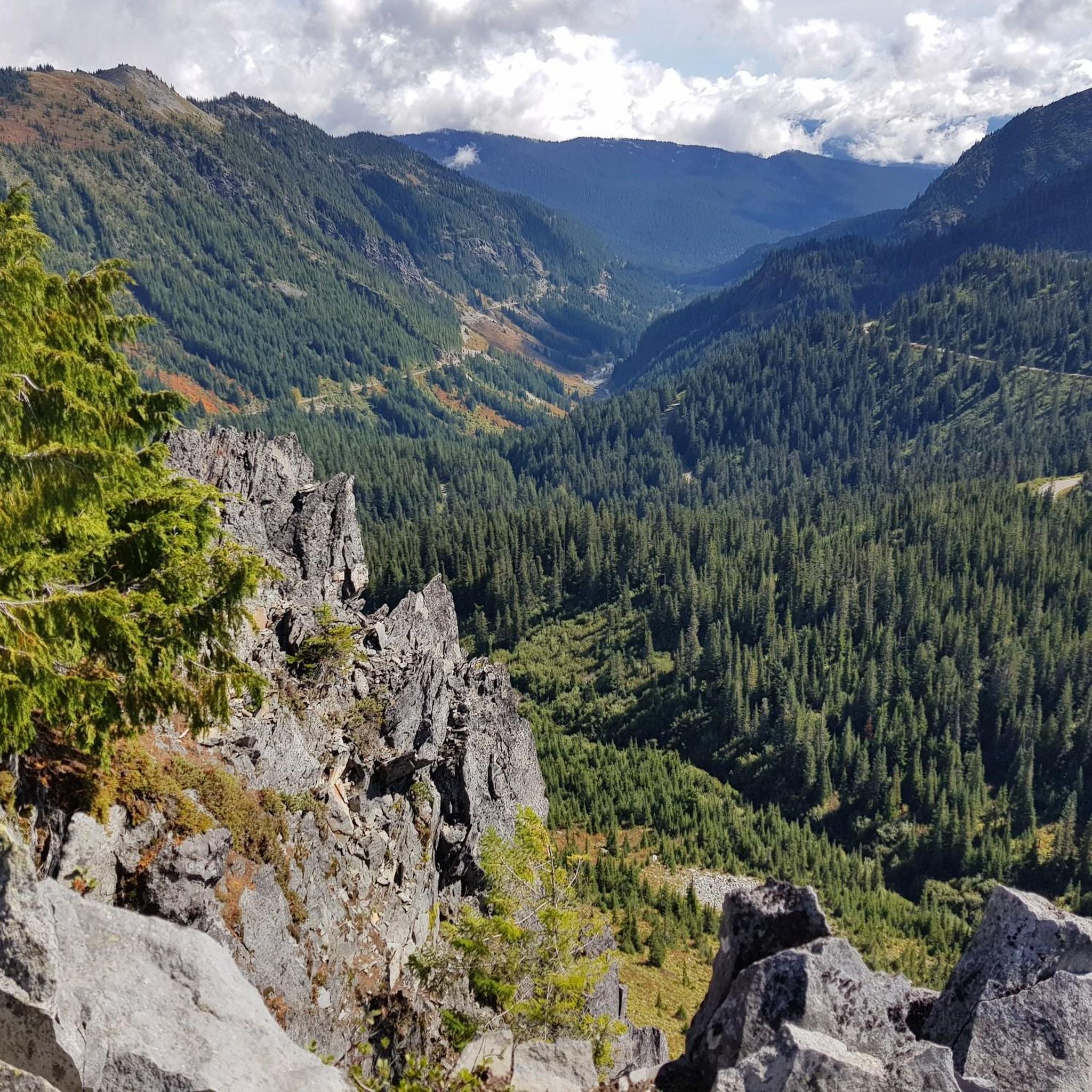
MTB Trails in Mount Rainier Wilderness
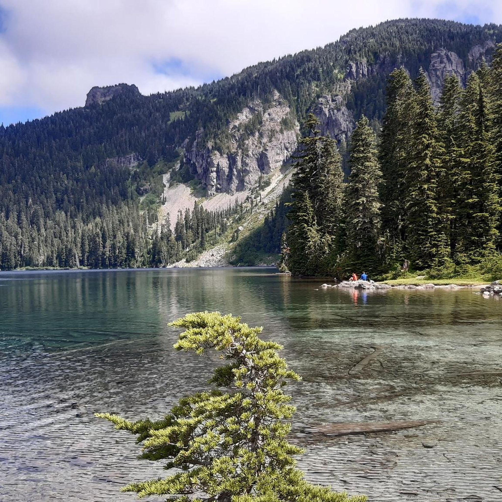
Running Trails in Mount Rainier Wilderness


Tips from the Community

A great way to get up close and personal with the glaciers and high alpine environment of Mt Rainier.
0
0


Beautiful hike. Crowded. Make sure you bring water as there is no where to fill up. Not even visitor center. No restrooms. Just overstuff porta potties. Come early. Parking difficult. We got here at 310 pm and found some. But there’s a lot of people. We waiting in line to get into park 1 hour! They need a better system!
0
0

Great trail with amazing views of the surrounding mountains and Mt. Rainier.
0
0

One of the most impressive view points to see Mount Rainier. During sunrise and sunset, when there's no wind or rain, this lake right by the park road reflects the mountain in all of its majesty.
0
0

Box Canyon is a narrow, dramatic gorge carved by the Muddy Fork of the Cowlitz River. It’s a quick but impressive stop along the Wonderland Trail, with a footbridge offering a dizzying view into the deep slot canyon below.
0
0
White River Campground is a convenient stop or overnight spot, especially for those breaking up the Wonderland Trail into stages. With road access, it’s a good place to cache food in one of the bear boxes or meet a friend for resupply. It also serves as a trailhead for several routes. The campground has reliable water, composting toilets, picnic tables, and plenty of flat ground to rest. It sits close to the trail, making it easy to continue the next morning without adding extra mileage. It can get crowded in summer, so plan your resupply accordingly or avoid the peak season. From July 11 to mid-October 2025, timed entry is required to access the Sunrise Corridor (which includes this campground) between 7 am and 5 pm. If you secure a campsite before 7 am, your permit can be used in place of a timed entry pass for the rest of your stay. Plan ahead, as both campsite and entry availability are not guaranteed.
0
0
Frequently Asked Questions
What is the typical difficulty level for road cycling routes in Mount Rainier Wilderness?
Road cycling routes in Mount Rainier Wilderness are generally challenging, characterized by steep climbs, winding roads, and significant elevation gains. The region's dramatic volcanic landscape means many routes are rated as moderate to difficult. For example, the Longmire, Paradise, Valley Road, and Ruby Falls loop is a difficult 29.4-mile ride with substantial climbing.
Are there any road cycling routes suitable for families or less experienced riders?
While many routes are challenging, some sections offer a more accessible experience. The first three miles of Westside Road are open to motor vehicles, but the remaining 9.25 miles to Klapatche Point are open to bicycles and offer a non-technical outing. Additionally, the Nisqually Suspension Bridge – Longmire Historic District loop from Christine Falls is a moderate 44.8 km option that might be more suitable for those seeking a less strenuous ride.
What are some of the most scenic viewpoints or natural attractions accessible by road bike?
Mount Rainier Wilderness offers breathtaking scenery. Cyclists can enjoy panoramic views of Mount Rainier and other Cascade volcanoes like Mount St. Helens and Mount Adams. Iconic passes like Chinook Pass provide stunning vistas. You'll also encounter lush old-growth forests, alpine meadows, and numerous waterfalls, including Narada Falls and Ruby Falls, along routes like the Narada Falls – Paradise Inn loop from Carter Falls.
When is the best time of year to go road cycling in Mount Rainier Wilderness?
The ideal time for road cycling in Mount Rainier Wilderness is typically September and early October. During these months, vehicle traffic tends to be lower, and the vibrant fall colors create a spectacular backdrop for your ride. The alpine meadows also burst with wildflowers in season, offering another beautiful experience.
What are the regulations for bicycling within Mount Rainier National Park?
Bicycles are permitted on park roads, but they are not allowed on hiking trails. E-bikes are generally allowed wherever traditional bicycles are, including on routes like Westside Road and Carbon River Road. For detailed regulations and any permit requirements, it's advisable to check the official National Park Service website: nps.gov/mora/planyourvisit/bicycling.htm.
Are there any loop routes available for road cyclists?
Yes, Mount Rainier Wilderness features several excellent loop routes. The Tipsoo Lake – Chinook Pass loop from Crystal Lake Trailhead is a challenging 75.4 km option, while the Paradise Visitor Center – Paradise Inn loop from Shriner Peak Trailhead offers a 80.8 km ride through volcanic terrain with high-altitude views.
What do other cyclists say about road cycling in Mount Rainier Wilderness?
The komoot community highly rates road cycling in Mount Rainier Wilderness, with an average score of 4.0 stars from over 200 cyclists. Riders often praise the challenging terrain, the breathtaking natural beauty, and the opportunity to immerse themselves in a pristine and diverse environment, especially the dramatic vistas and the experience of riding through old-growth forests.
Are there any specific areas known for waterfalls along road cycling routes?
Yes, the region is home to numerous waterfalls fed by the park's many rivers and streams. Notable waterfalls include Narada Falls and Ruby Falls. Routes like the Longmire, Paradise, Valley Road, and Ruby Falls loop offer views of these impressive water features.
Where can I find parking for road cycling routes in Mount Rainier Wilderness?
Parking is generally available at various access points and visitor centers within Mount Rainier National Park. Specific parking details can vary by route start point. It's recommended to check the National Park Service website or specific route descriptions for the most accurate parking information for your chosen ride.
Can I find food or accommodation services near the road cycling routes?
Yes, historical areas like Longmire and Paradise serve as significant points of interest and offer facilities that can include food services and accommodation, making them convenient rest stops for cyclists. It's always a good idea to check availability and operating hours, especially during off-peak seasons.
What kind of wildlife might I encounter while cycling?
Mount Rainier Wilderness supports a diverse range of wildlife, including 159 bird species and 63 mammal species. While cycling, you might spot various birds, deer, or smaller mammals. Always maintain a safe distance and never feed wildlife. For more information on the park's ecology, you can visit usgs.gov.
Are there any specific roads known for smooth surfaces or flowing curves?
Recently paved sections, such as those leading to Longmire, offer smooth surfaces and flowing curves, providing an enjoyable riding experience. These sections often include numerous viewpoints, like Ricksecker ViewPoint, adding to the scenic appeal of the ride.
Most popular routes in Mount Rainier Wilderness
Most popular attractions in Mount Rainier Wilderness

Get inspired with the komoot mobile app


Explore more
Browse the best Road cycling routes in other regions.
