The best walks and hikes around Fohren-Linden
4.6
(3388)
12,772
hikers
476
hikes
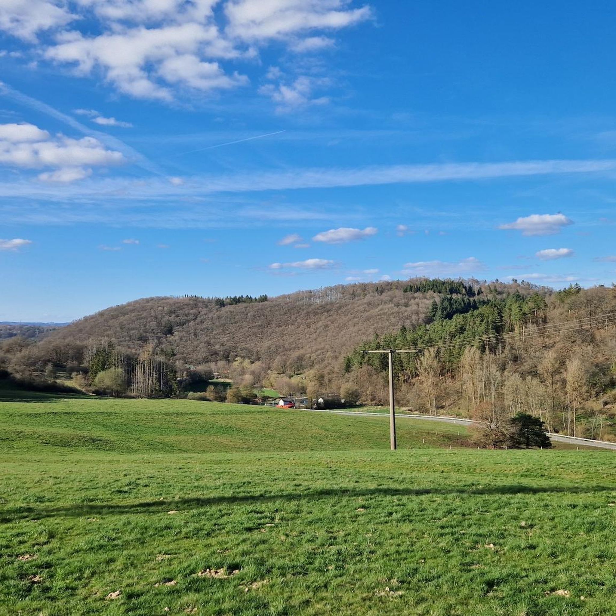
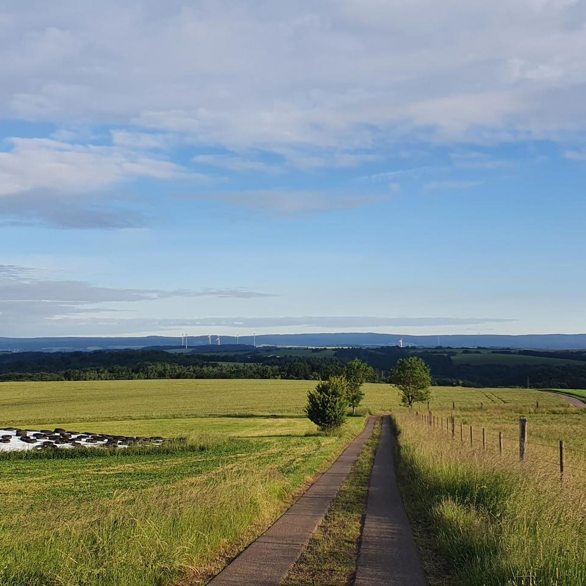
Hiking around Fohren-Linden offers access to a landscape characterized by rolling hills, dense woodlands, and open fields. The region features varied terrain, including forest trails and elevated viewpoints. This area provides a network of paths suitable for exploring the natural environment.
Best hiking trails around Fohren-Linden
- The most popular hiking route is Ungeheuerstein Memorial – Ungeheuerstein Forest Trail loop from Baumholder, a 10.2 miles (16.3 km) trail that takes 4 hours 37 minutes to complete. This moderate route leads…
Last updated: July 5, 2026
4.8
(141)
537
hikers
Moderate hike. Good fitness required. Easily-accessible paths. Suitable for all skill levels.
4.7
(109)
404
hikers
Moderate hike. Good fitness required. Mostly accessible paths. Sure-footedness required.

Sign up for free
4.9
(17)
46
hikers
Easy hike. Great for any fitness level. Easily-accessible paths. Suitable for all skill levels.
4.3
(15)
36
hikers
Hard hike. Very good fitness required. Easily-accessible paths. Suitable for all skill levels.
4.4
(7)
36
hikers
9.15km
02:30
140m
140m
Moderate hike. Good fitness required. Easily-accessible paths. Suitable for all skill levels.
Get access to more routes and recommendations from other explorers.
Sign up for free
Already have an account?
Our route recommendations are based on thousands of hikes, rides, and runs completed by other people on komoot.
Start today with a free account
Your next adventure awaits.
Login or Signup

Tips from the Community

Bicycles are parked within the bathing area! Admission is free.
0
0

Unfortunately, at least currently (09/2025) there is no cross left
0
0

Great rock formations. However, I wouldn't go too close, as rocks can still break off and fall down.
0
0
Great viewpoint with a bench for a rest. If you just walk past, it's your own fault. :-)
0
0
Great viewpoint. Highly recommended.
0
0

Beautiful single trail
1
0
A very nice, well-maintained tour with several benches and many small paths.
0
1

📍 Dream Loop Bärenbach Trail A narrow path lined with hand-painted stones – each with a different motif, a message, or simply a little wink. This section combines creativity with nature and surprises with color, symbols, and personal touches amidst the greenery. 💡 Tip: Be sure to walk attentively – each stone is different. If you want, bring your own painted stone and become part of this special path.
0
1
Frequently Asked Questions
How many hiking trails are available around Fohren-Linden?
There are over 450 hiking routes in the Fohren-Linden area, catering to various skill levels. This includes more than 240 easy trails, nearly 200 moderate routes, and a few more challenging options for experienced hikers.
Are there easy hiking trails suitable for beginners or families in Fohren-Linden?
Yes, Fohren-Linden offers a wide selection of easy trails perfect for beginners or families. For example, the Viewpoint Hellerberg – Hellerberg Shelter loop from Eckersweiler is an easy 5.1 km (3.2 miles) route that can be completed in about 1 hour 24 minutes, offering pleasant scenery and shelters.
What kind of terrain can I expect on hikes around Fohren-Linden?
The Fohren-Linden region is characterized by rolling hills, dense woodlands, and open fields. You'll find a mix of forest trails and elevated viewpoints, providing varied scenery throughout your hike.
Are there any circular walks available in Fohren-Linden?
Many of the trails in Fohren-Linden are designed as circular routes, allowing you to start and end at the same point. An example is the moderate Ungeheuerstein Memorial – Ungeheuerstein Forest Trail loop from Baumholder, which covers 16.3 km (10.2 miles) through the Ungeheuerstein Forest.
What are the best times of year to go hiking in Fohren-Linden?
Hiking in Fohren-Linden is enjoyable throughout much of the year. Spring brings blooming flora, summer offers lush green landscapes, and autumn provides vibrant fall colors. Even in winter, some trails are accessible, though conditions may vary and require appropriate gear.
Are there any viewpoints or scenic spots along the trails?
Yes, the region features several elevated viewpoints. The Viewpoint Hellerberg – Hellerberg Shelter loop from Eckersweiler is specifically known for its scenic vistas. Many trails wind through areas that offer glimpses of the surrounding rolling hills and woodlands.
What do other hikers say about the trails in Fohren-Linden?
The komoot community highly rates the trails in Fohren-Linden, with an average score of 4.6 stars from over 3,200 reviews. Hikers often praise the quiet woodlands, well-marked paths, and the diverse natural environment.
Are there any lakes or water features to see while hiking?
Yes, the Fohren-Linden area is home to several beautiful lakes and ponds. You might encounter highlights such as the Baumholder Town Pond or the tranquil Schwarzer Weiher. Some routes, like those near Langenbach, even pass by the Weiherhütte Ponds and Restaurant.
Are there any shorter hiking options for a quick outing?
Absolutely. For a shorter walk, consider the easy Trautzberg loop from Eckersweiler, which is only 1.9 km (1.2 miles) and takes about 31 minutes to complete. It's a great option for a brief stroll in nature.
What should I bring for a hike in Fohren-Linden?
For hiking in Fohren-Linden, it's advisable to wear sturdy hiking shoes, bring sufficient water, and pack snacks. Depending on the weather, layers of clothing, rain gear, and sun protection are also recommended. A map or GPS device is always helpful for navigation.
Are there any interesting historical or natural landmarks to explore?
Beyond the natural beauty, you can find points of interest like the Ungeheuerstein Memorial, which is part of a moderate forest trail. The region also features unique geological formations, such as those hinted at by the 'Andesite Rose Trail Sign' on some routes.
Are there any trails that pass by cafes or restaurants?
While many trails focus on natural immersion, some routes may lead near or pass by establishments. For instance, the area around Weiherhütte Ponds and Restaurant near Langenbach offers a chance to combine your hike with a meal or refreshment.
Most popular attractions around Fohren-Linden

Get inspired with the komoot mobile app


Explore more
Browse the best Hikes in other regions.
