The best cycling routes around Caño Martin Peña
4.7
(41)
529
riders
22
rides
Touring cycling routes around Caño Martín Peña offer a unique exploration of an urban natural landscape within San Juan, Puerto Rico. This region is characterized by a 3.75-mile tidal channel, significant wetlands, and urban mangrove forests, forming a crucial ecosystem connecting the San José Lagoon with San Juan Bay. The terrain primarily consists of flat to gently rolling paths along coastal areas and through urban environments, providing accessible cycling experiences. These routes allow riders to observe the rich biodiversity of…
Last updated: July 2, 2026
4.5
(15)
104
riders
22.8km
01:22
130m
130m
Easy bike ride. Great for any fitness level. Mostly paved surfaces. Suitable for all skill levels.
5.0
(3)
30
riders
53.5km
03:06
150m
150m
Moderate bike ride. Good fitness required. Mostly paved surfaces. Suitable for all skill levels.

Sign up for free
20
riders
75.7km
04:19
190m
190m
Moderate bike ride. Good fitness required. Mostly paved surfaces. Suitable for all skill levels.
4.5
(6)
71
riders
35.7km
02:06
180m
180m
Moderate bike ride. Good fitness required. Mostly paved surfaces. Suitable for all skill levels.
20
riders
105km
06:01
340m
340m
Hard bike ride. Very good fitness required. Mostly paved surfaces. Suitable for all skill levels.
Get access to more routes and recommendations from other explorers.
Sign up for free
Already have an account?
Our route recommendations are based on thousands of hikes, rides, and runs completed by other people on komoot.
Start today with a free account
Your next adventure awaits.
Login or Signup
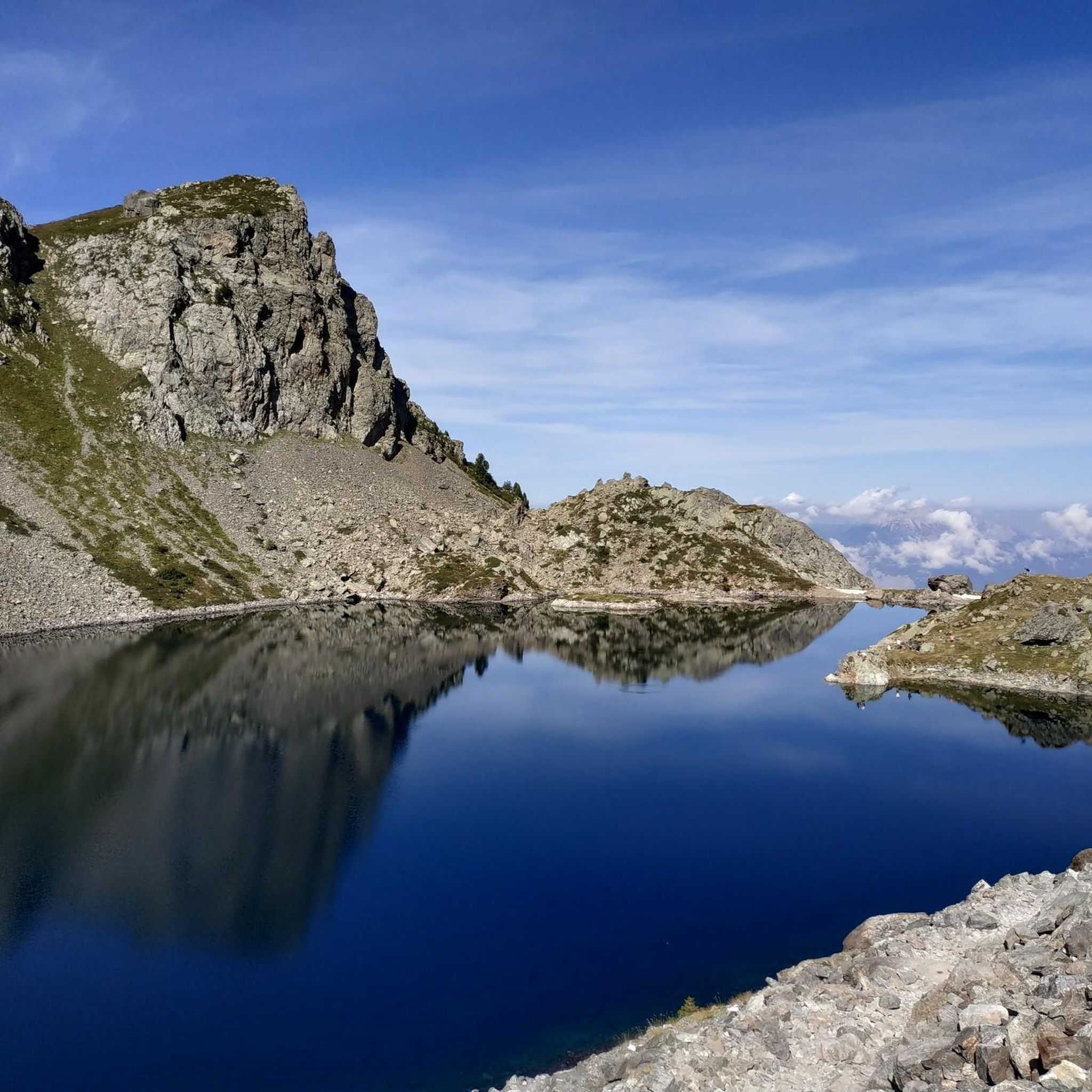
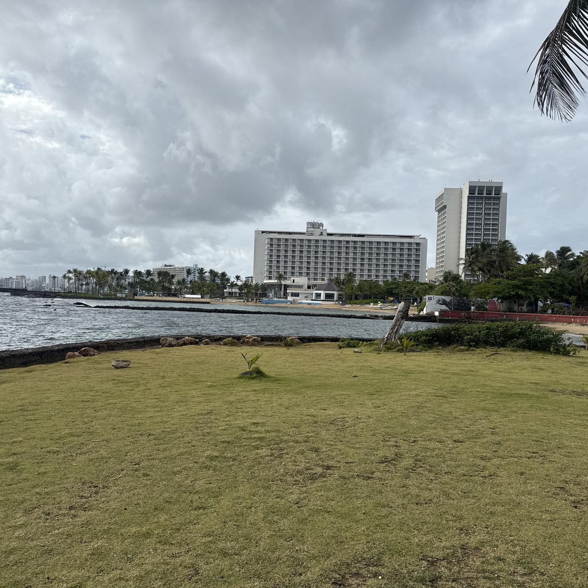
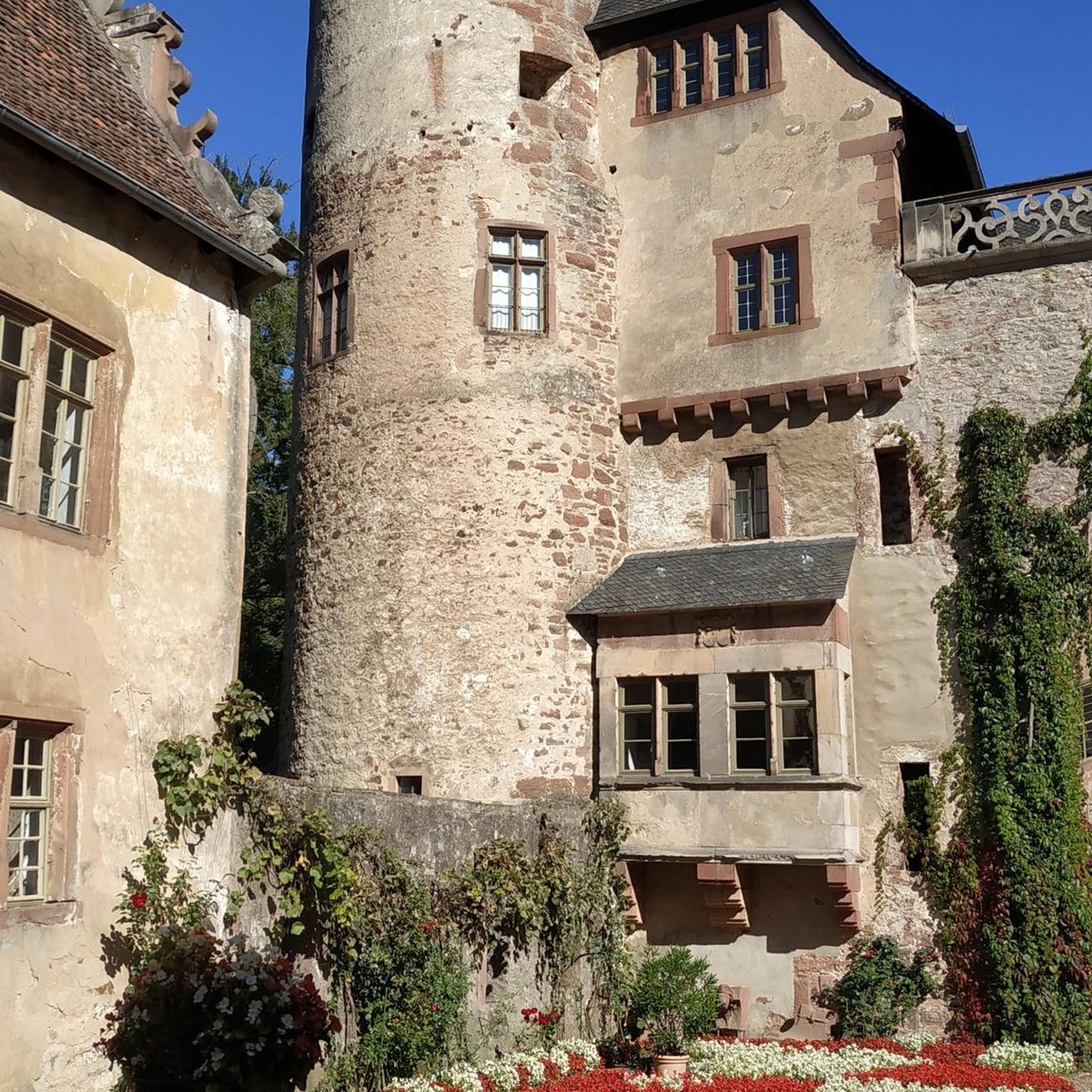

Tips from the Community

Beautiful Capitol building with the Avenue of Presidents
0
0

The cemetery rests at the foot of Castillo San Felipe del Morro and faces outward toward the Atlantic in a spiritual symbol of the journey spirits take on their way to the afterlife. Tiled stone walkways lead you between the ornate marble headstones of San Juan's historic elite.
1
0


Walk that runs along the coastline. It is in terrible condition for much of the journey. There is a lot of glass on the path and on the planked part there are several sections that are on the verge of collapse. The road runs through part of the Piñones State Forest and passes through several scenic spots, including the old viewpoint that Hurricane María took away.
0
0

Excellent views along the north wall of Old San Juan. El Morro is in the extreme west.
0
0
Frequently Asked Questions
How many touring cycling routes are available in Caño Martín Peña?
There are 18 touring cycling routes available around Caño Martín Peña. These routes offer a diverse range of experiences, from easy urban loops to more challenging coastal journeys.
What is the typical terrain like for touring cycling in Caño Martín Peña?
The terrain for touring cycling in Caño Martín Peña primarily consists of flat to gently rolling paths. You'll find routes along coastal areas and through urban environments, making them generally accessible for various skill levels.
Are there family-friendly touring cycling routes in Caño Martín Peña?
Yes, the region offers several family-friendly options. Out of the 18 available routes, 7 are rated as easy, providing suitable paths for families to enjoy together. These routes often feature accessible terrain and urban coastal paths.
What kind of natural features can I expect to see while cycling?
While cycling, you can experience a unique blend of urban and natural landscapes. The area is known for its significant wetlands and urban mangrove forests, which are part of the San Juan Bay National Estuary. You might observe various mangrove species (red, black, white, and button mangroves) and a rich biodiversity, including 125 fish species and 160 bird species, within this thriving ecosystem.
Are there any historical landmarks or points of interest along the cycling routes?
Yes, several routes pass by or are near significant historical landmarks. For instance, the Ciudad amurallada – Condado Beach loop from Sagrado Corazón connects historic urban areas. You can also explore nearby attractions such as Castillo San Felipe del Morro, Fort San Christobal, and the historic Ciudad amurallada.
Are there any circular touring cycling routes in the area?
Many of the touring cycling routes in Caño Martín Peña are designed as loops, offering convenient starting and ending points. Examples include the Ciudad amurallada – Condado Beach loop from Sagrado Corazón and the Beach View in San Juan – Ciudad amurallada loop from Santurce, allowing you to return to your starting point without retracing your path.
What are the difficulty levels of touring cycling routes in Caño Martín Peña?
The routes cater to various skill levels. There are 7 easy routes, 3 moderate routes, and 8 difficult routes available. This range ensures that both casual riders and more experienced touring cyclists can find a suitable challenge.
What do other cyclists say about touring cycling in Caño Martín Peña?
The touring cycling routes in Caño Martín Peña are highly rated by the komoot community, with an average score of 4.6 stars from over 9 reviews. Cyclists often praise the unique experience of exploring urban coastal paths and mangrove-lined channels, as well as the opportunity to connect with the local community and observe ongoing environmental restoration efforts.
Is public transport available to access the cycling routes?
While specific public transport connections to every trailhead are not detailed in the route information, Caño Martín Peña is located within San Juan, Puerto Rico, an urban area. It's advisable to check local public transportation options, such as buses or ride-sharing services, to reach convenient starting points for your cycling tour.
Where can I park my car when visiting for a cycling tour?
Given the urban nature of Caño Martín Peña and its proximity to San Juan, parking availability can vary. Many routes start from urban centers or coastal areas where public parking facilities or street parking might be available. It's recommended to research parking options near your chosen route's starting point in advance, especially during peak times.
What is the best time of year to go touring cycling in Caño Martín Peña?
Puerto Rico generally has a tropical climate. The cooler, drier months from December to April are often considered ideal for outdoor activities like touring cycling, as temperatures are more moderate and there's less rainfall. However, cycling is possible year-round, with the understanding that the summer months can be hotter and wetter.
Can I learn about the local community and environment while cycling?
Absolutely. Cycling through Caño Martín Peña offers a unique opportunity to engage with the area's social and environmental narrative. The region is known for community-focused initiatives and ongoing ecosystem restoration projects. Guided experiences like the BiciCaño tour specifically highlight the local community's challenges, resilience, and the ecological significance of the urban mangrove forests, providing a deeper connection to the area.
Are there longer, more challenging touring cycling routes for experienced riders?
Yes, for experienced riders seeking a greater challenge, there are 8 routes rated as difficult. An example is the Pocita de Piñones Beach – Vacía Talega Beach loop from Piñero, which covers 76.3 km and involves more significant elevation changes, offering a substantial touring experience.
What is the ecological significance of Caño Martín Peña?
Caño Martín Peña is ecologically vital as a 3.75-mile tidal channel within the San Juan Bay National Estuary. It hosts a nature reserve protecting significant wetlands and urban mangrove forests, making it the only tropical estuary in the National Estuary Program network. This area is crucial for biodiversity, supporting 33% of Puerto Rico's mangroves and a wide array of fish and bird species. Ongoing restoration efforts aim to enhance this unique urban ecosystem.
Are there any routes that offer scenic coastal views?
Many routes in the Caño Martín Peña area provide beautiful coastal views. For example, the Beach View in San Juan – Ciudad amurallada loop from Santurce offers views of the coastline, and the San Juan Coastal Promenade – Vacía Talega Beach loop from Piñero leads through coastal promenades and beaches, perfect for enjoying the ocean scenery.
Most popular attractions around Caño Martin Peña

Get inspired with the komoot mobile app


Explore more
Browse the best Cycling routes in other regions.
