The best road cycling routes around Fluorn-Winzeln
4.5
(445)
3,779
riders
282
rides
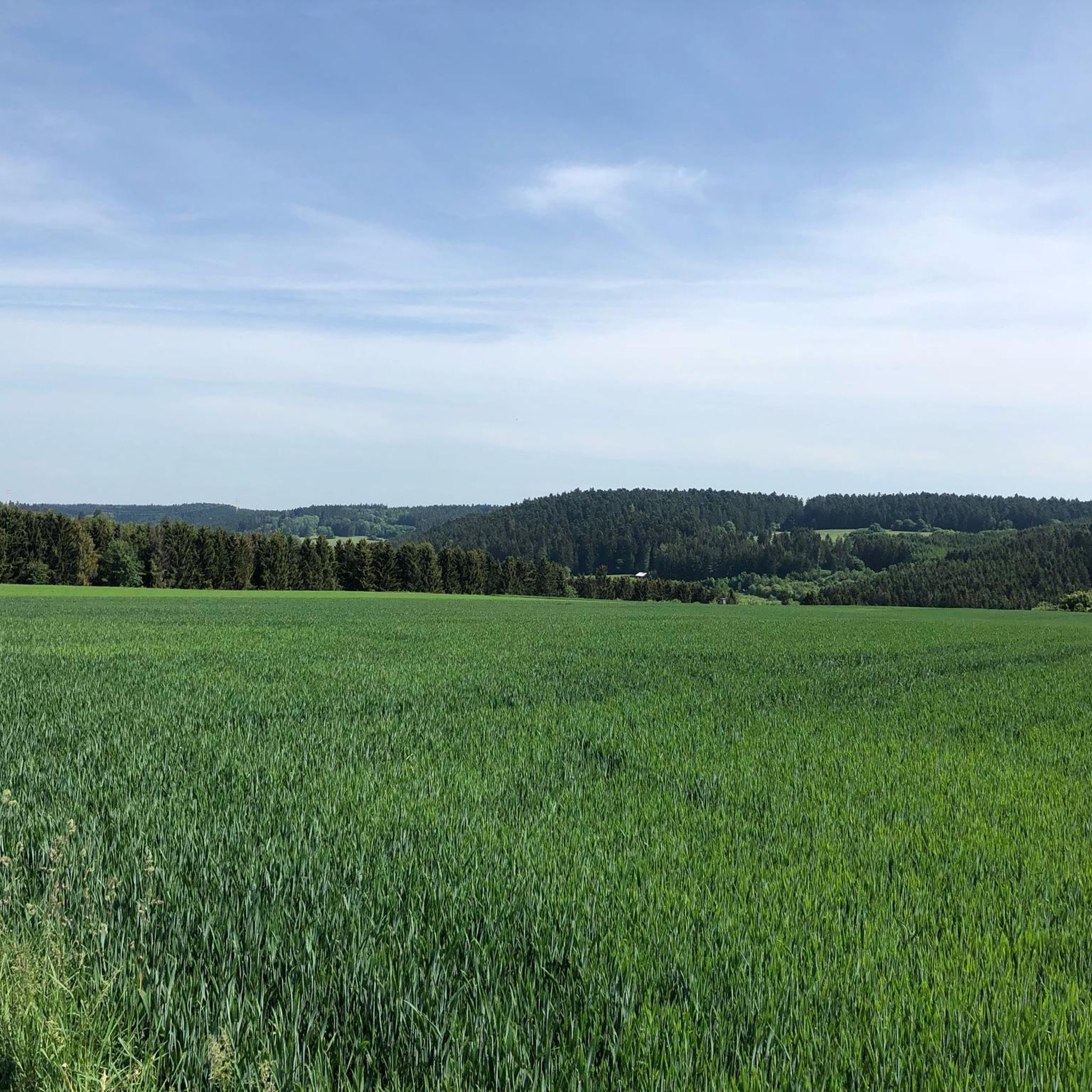
Road cycling routes around Fluorn-Winzeln traverse a high plateau at the edge of the Middle Black Forest, offering diverse landscapes. The region features rolling hills, dense forests, and river valleys, providing varied terrain for cyclists. Many routes utilize predominantly paved surfaces, including dedicated bike paths and farm roads, suitable for different fitness levels. This geographical setting provides a mix of challenging climbs and more gentle stretches.
Best road cycling routes around Fluorn-Winzeln
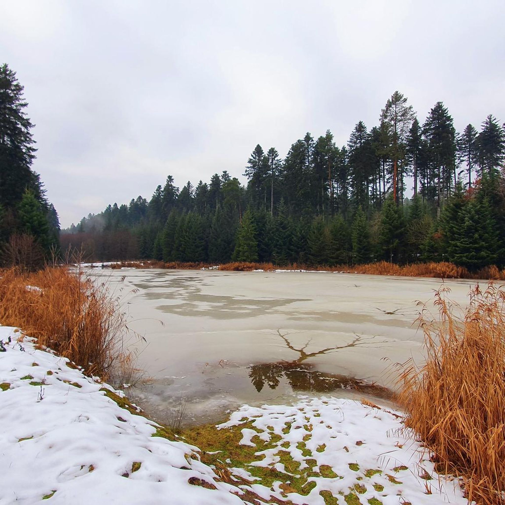
- The most popular road cycling route is Pond…
Last updated: July 5, 2026
5.0
(1)
48
riders
36.7km
01:42
460m
460m
Moderate road ride. Good fitness required. Mostly well-paved surfaces and easy to ride.
38
riders
Moderate road ride. Great for any fitness level. Some segments of this route may be unpaved and difficult to ride.

Sign up for free
28
riders
51.2km
02:26
490m
490m
Moderate road ride. Good fitness required. Some segments of this route may be unpaved and difficult to ride.
14
riders
92.0km
04:02
830m
830m
Moderate road ride. Good fitness required. Some segments of this route may be unpaved and difficult to ride.
5.0
(2)
13
riders
50.2km
02:20
570m
570m
Moderate road ride. Good fitness required. Mostly well-paved surfaces and easy to ride.
Get access to more routes and recommendations from other explorers.
Sign up for free
Already have an account?
Our route recommendations are based on thousands of hikes, rides, and runs completed by other people on komoot.
Start today with a free account
Your next adventure awaits.
Login or Signup

Tips from the Community


The gravel section in question is mostly very fine and compacted, making it easy to drive on. A truly worthwhile alternative to country roads!
1
0

Great view of the Kinzig Valley…and countless opportunities to climb the plateau
0
0

A cute little brewery with a beer garden that invites you to linger. I highly recommend the semi-dark beer 🍺.
0
0
Beautiful bike path along the Neckar River. However, heavy traffic (pedestrians, joggers, cyclists) occurs on Saturdays and Sundays.
0
0

Frequently Asked Questions
How many road cycling routes are available around Fluorn-Winzeln?
There are over 280 road cycling routes around Fluorn-Winzeln, offering diverse options for cyclists of all levels. These routes are highly rated by the komoot community, with an average score of 4.5 stars.
What kind of terrain can I expect on road cycling routes in Fluorn-Winzeln?
The region features rolling hills, dense forests, and picturesque river valleys, characteristic of the Middle Black Forest. Routes often utilize predominantly paved surfaces, including dedicated bike paths and farm roads, providing a mix of challenging climbs and more gentle stretches.
Are there easy road cycling routes suitable for beginners or families?
Yes, Fluorn-Winzeln offers a good selection of easier routes. For example, the "Water Tower – View of Seedorf Fields loop from Winzeln" is a 19.8 km ride with only 110m elevation gain, and the "View of Fluorn-Winzeln – Lindenhof Mountain Chapel loop from Winzeln" is 15.7 km with 140m elevation gain, both suitable for all fitness levels.
What are some challenging road cycling routes for experienced riders?
For experienced riders seeking a challenge, a 63.4 km loop from Fluorn-Winzeln to the Kleine Kinzig Reservoir involves a significant 930m elevation gain, requiring good fitness. Another option is the Neckar River Pathway – Scenic Path to Loßburg loop from Winzeln, which covers over 92 km with more than 800m of elevation.
What natural features or landmarks can I see along the cycling routes?
Cyclists can enjoy diverse landscapes including river meadows along the Eschach and Heimbach. Notable natural attractions in the wider area include the Schlichem Gorge and the Lauterbach Waterfalls. The "Burgberg" lookout tower in Fluorn-Winzeln also offers breathtaking views across the entire region.
Are there any historical sites or cultural attractions accessible by bike?
Yes, you can incorporate historical sites into your rides. The Ruins of Hohenschramberg Castle offer superb panoramic views, and the Falkenstein Castle Ruins near Schramberg provide a glimpse into medieval history. The historic Half-timbered Old Town of Schiltach is also ideal for a leisurely stroll and is accessible via cycling routes.
When is the best time of year for road cycling in Fluorn-Winzeln?
The best months for road cycling in Fluorn-Winzeln are typically from spring through autumn, when the weather conditions are most favorable. The region's diverse landscapes are particularly beautiful during these seasons, offering pleasant temperatures and scenic views.
Are there loop routes available for road cyclists?
Yes, many road cycling routes around Fluorn-Winzeln are designed as loops, allowing you to start and end at the same point. Examples include the Pond With Highland Cattle – Winzelner Jägerhäusle loop from Winzeln and the Hardt–Mariazell Cycle Path – Locherhof–Dunningen Cycle Path loop from Winzeln.
Where can I find parking for road cycling routes in Fluorn-Winzeln?
Fluorn-Winzeln offers various starting points for cycling routes, and parking is generally available in the villages. Specific parking information for individual routes can often be found on the respective tour pages on komoot or local tourism websites.
Can I bring my dog on road cycling routes in Fluorn-Winzeln?
While many road cycling routes are on paved roads, it's important to consider your dog's safety and comfort. If your dog is accustomed to running alongside a bike or can be safely carried, some routes may be suitable. Always ensure your dog is well-behaved and that local regulations for pets are followed.
Are there cafes or pubs along the road cycling routes for a break?
The region around Fluorn-Winzeln, including its villages and towns, offers various cafes, pubs, and restaurants where cyclists can take a break, refuel, and enjoy local hospitality. Planning your route with stops in mind can enhance your cycling experience.
What do other road cyclists enjoy most about cycling in Fluorn-Winzeln?
The area is highly rated by the komoot community, with an average score of 4.5 stars from over 400 reviews. Cyclists often praise the varied terrain, the well-maintained paved surfaces, and the scenic views of the Black Forest landscape, making it an appealing destination for diverse cycling experiences.
Most popular routes around Fluorn-Winzeln
Most popular attractions around Fluorn-Winzeln

Get inspired with the komoot mobile app


Explore more
Browse the best Road cycling routes in other regions.
