The best road cycling routes around Middleton
4.2
(52)
1,828
riders
18
rides
Road cycling around Middleton features a landscape characterized by a mix of natural preserves, ponds, and lakes, offering varied terrain for cyclists. The region includes areas like Esser Pond, Lake Mendota, and Graber Pond Nature Preserve, providing scenic routes. Elevation changes are generally gentle, with some moderate climbs present on longer routes. The area's network of roads connects these natural features, making it suitable for different road cycling experiences.
Best road cycling routes around Middleton
- The most popular road cycling…
Last updated: October 18, 2026
5.0
(1)
39
riders
36.0km
01:48
200m
200m
Easy road ride. Great for any fitness level. Mostly well-paved surfaces and easy to ride.
3.0
(2)
90
riders
48.9km
02:20
280m
280m
Moderate road ride. Good fitness required. Some segments of this route may be unpaved and difficult to ride.

38
riders
38.9km
01:43
320m
320m
Moderate road ride. Good fitness required. Some segments of this route may be unpaved and difficult to ride.
22
riders
45.5km
02:19
410m
410m
Moderate road ride. Good fitness required. Mostly well-paved surfaces and easy to ride.
18
riders
22.9km
01:10
90m
90m
Easy road ride. Great for any fitness level. Mostly well-paved surfaces and easy to ride.
Get access to more routes and recommendations from other explorers.
Already have an account?
Our route recommendations are based on thousands of hikes, rides, and runs completed by other people on komoot.
Start today with a free account
Your next adventure awaits.


Tips from the Community

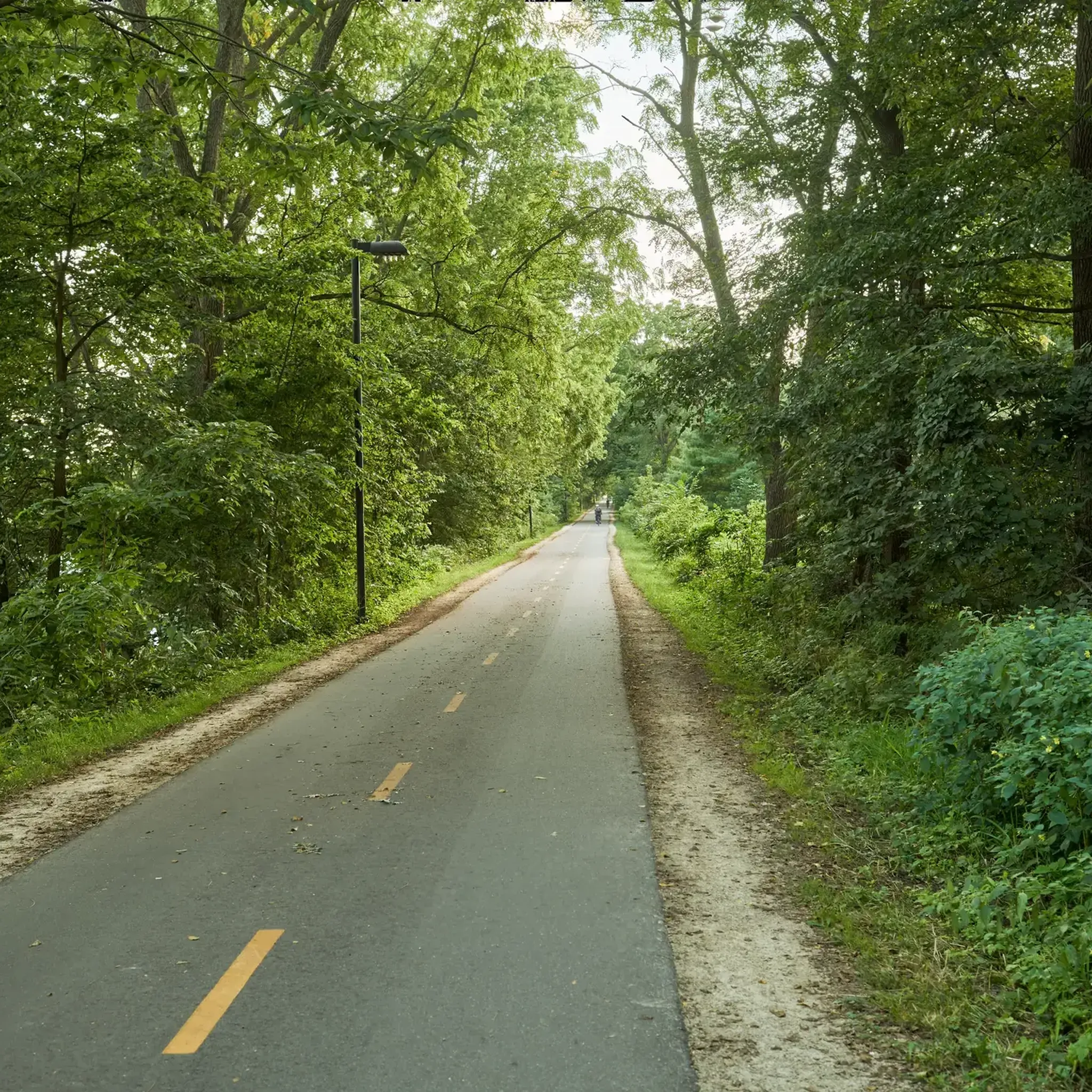
Paved trails, windy with elevation changes. Bridges can be slippery when wet. Multiple cool spots to stop. One of Dane County’s gems. Away from the creek corridor is the conservation loop which is not paved but well maintained.
0
0

The first bike counter I saw was in Oklahoma City. This one has a cool meter to it.
1
0
MADISON PARK & PLEASURE DRIVE ASSOCIATION Duting the 19th Century, Willow Creek marked the western edge of the University of Wisconsin campus and the end of University Drive. In 1892, at the suggestion of Prol Edward TOwen, a commitice of public spirited citizens constructed a "pleasure drive" west from this point, opening the privately owned Lake Mendota shoreline for public enjoyment. As part of this project, the first Willow Creek bridge was built The drive, intended for saddle horses, carriagesy and bicycles, crossed University Bay Marsh ascended Eagle Heights and followed the shoteline to Merill Springs (Spring Harbor in 1894 the committee became the Madison Park and Pleasure Drive Association under the leadership of Jonn MOline Relying on voluntary contributions- this renowned organization established other pleasure drives as well as tenney, Vilas, and Brittingham Park 1938
0
0


Nice bridge that takes you over Willow Creek. The bridge is part of Howard Temin Lakeshore Path.
0
0

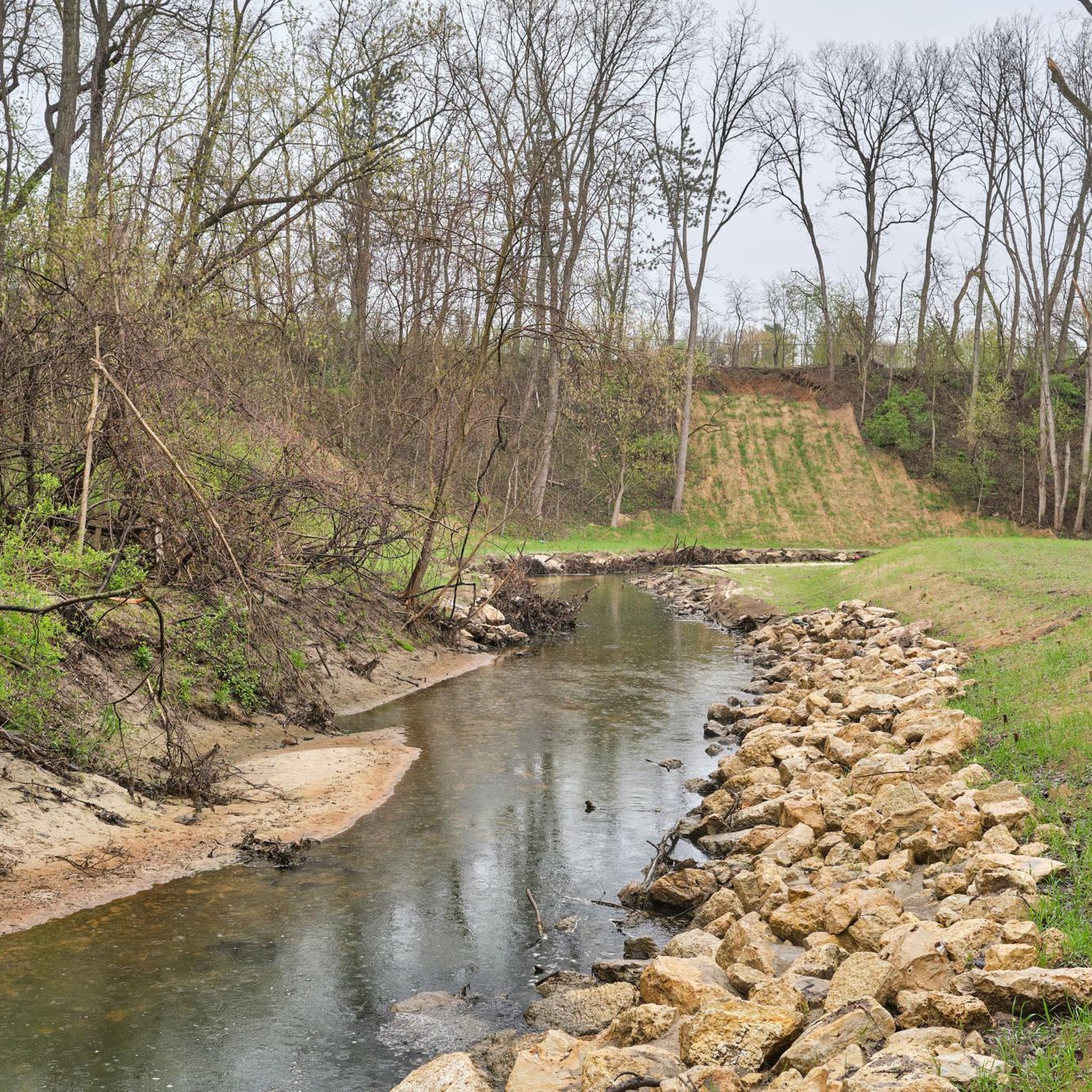
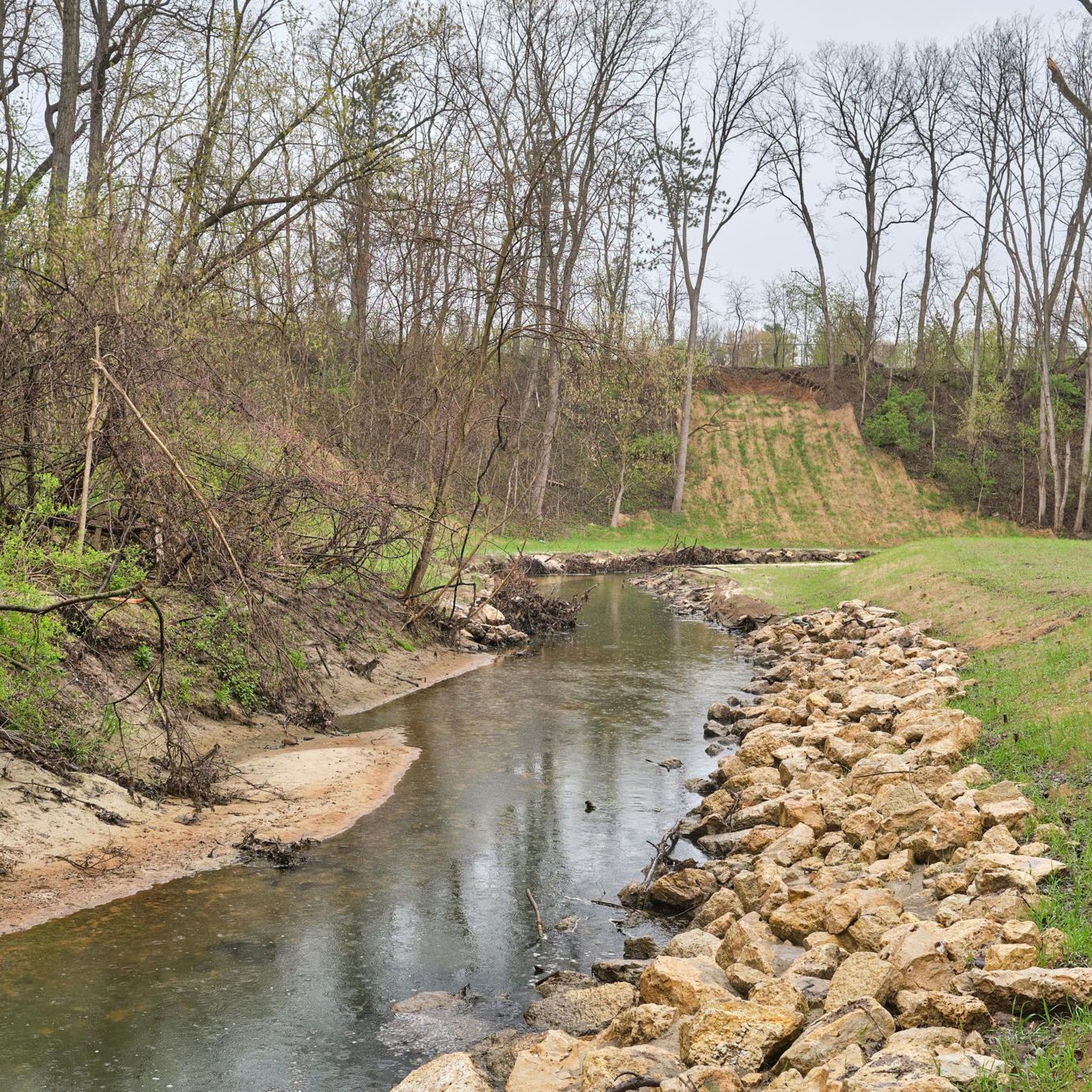
Pheasant Branch Creek Corridor Trail spans 1.4 miles through the wooded Pheasant Branch Creek Corridor. This two-lane, paved trail features benches, streams, and a nice city getaway for hikers, bikers, and dogs on leashes.
0
0

The Pheasant Branch Creek Corridor Trail is a fairly short path (~1.4 miles total) that is paved and follows the creek pretty much the whole time. This path can be easily combined with the North Fork Trail for a longer run.
0
0

If you want an unbeatable view of the Capitol building dome — not to mention the rest of Madison — it's well worth tying up your bike and popping up to this rooftop terrace on the convention building.
2
0
Frequently Asked Questions
Are there easy road cycling routes suitable for beginners or families in Middleton?
Yes, Middleton offers several easy road cycling routes. For instance, the Lake Mendota – Chazen Museum of Art loop from Middleton is an easy 14-mile (22.5 km) trail that takes about an hour to complete, providing a gentle ride near Lake Mendota.
What are some options for longer or more challenging road cycling routes in Middleton?
For those seeking longer or more challenging rides, Middleton features several moderate routes with some climbs. The Esser Pond – The Turtle Watch Bridge loop from Middleton is a popular moderate option, covering 24.2 miles (38.9 km) with varied terrain around Esser Pond.
Where can I find parking or trailheads for road cycling in Middleton?
While specific parking locations are not detailed in this guide, most road cycling routes around Middleton typically start from accessible points within the city or near natural preserves. It's advisable to check the individual route details on komoot for suggested starting points and potential parking information.
What is the best season for road biking in Middleton?
Middleton's road cycling routes are enjoyable across multiple seasons. Spring and fall offer pleasant temperatures and scenic foliage, while summer provides warm weather for longer rides. Winter cycling is possible, but conditions may vary, so checking local weather and road conditions is recommended.
Are there circular road bike routes or loops available near Middleton?
Yes, many of the road cycling routes in Middleton are designed as loops, offering convenient circular journeys. A great example is the Esser Pond – Nissaru's loop from Middleton, an easy 23.2-mile (37.4 km) circular route that explores the area around Esser Pond.
What kind of scenery can I expect on road cycling routes around Middleton?
Road cycling routes in Middleton offer diverse scenery, characterized by a mix of natural preserves, ponds, and lakes. You'll encounter areas like Esser Pond, Lake Mendota, and Graber Pond Nature Preserve, providing picturesque views and a connection to nature.
What attractions or landmarks can I see along the road cycling routes in Middleton?
Many routes pass by or near notable attractions. You might cycle close to Lake Mendota, or the University of Wisconsin–Madison Arboretum. The Capital City State Trail at Monona Terrace is also accessible, offering scenic stretches.
Are there any hidden gems or less-traveled road cycling routes in Middleton?
While the most popular routes are well-known, exploring the network of roads connecting the various ponds and preserves can reveal quieter paths. Consider routes that venture slightly further from the main lakes, such as the Nissaru's loop from Graber Pond Nature Preserve, for a potentially more secluded experience.
What do other road cyclists enjoy the most about road cycling in Middleton?
The road cycling experience in Middleton is highly rated by the komoot community, with an average score of 4.3 stars from over 50 reviews. Cyclists often praise the varied terrain, the scenic views of ponds and lakes, and the well-connected network of roads that cater to different skill levels.
How many road cycling routes are available in Middleton?
There are over 18 road cycling routes documented in Middleton, ranging from easy to moderate difficulty, ensuring options for various preferences and fitness levels.
Are there road cycling routes that include cafes or places to stop for refreshments?
While specific cafes are not listed for each route, many routes pass through or near Middleton's urban areas and smaller towns, where you can find various establishments for refreshments. Planning your route with a quick search for local cafes along your chosen path is recommended.
What is the typical elevation gain on road cycling routes in Middleton?
Elevation changes in Middleton are generally gentle, making it accessible for many cyclists. However, some longer routes do feature moderate climbs. For example, the Roadbike loop from Middleton, a moderate 24.2-mile (38.9 km) route, includes over 1,100 feet (340 meters) of elevation gain.
Most popular routes around Middleton
Most popular attractions around Middleton

Get inspired with the komoot mobile app


Explore more
Browse the best Road cycling routes in other regions.
