The best road cycling routes around West Allis
4.4
(22)
1,798
riders
14
rides
Road cycling routes around West Allis feature an extensive network of paved trails and quiet streets, providing diverse cycling experiences. The area is characterized by greenways such as the Root River Parkway, which offers views of natural habitats including upland forests, wetlands, and meadows. Cyclists can also explore routes along the Hank Aaron State Trail, providing scenic views of the Milwaukee River and city skyline. These routes primarily traverse flat to gently rolling terrain, suitable for various skill levels.
Best…
Last updated: October 19, 2026
56
riders
Moderate road ride. Good fitness required. Mostly well-paved surfaces and easy to ride.
5.0
(1)
48
riders
Moderate road ride. Good fitness required. Mostly well-paved surfaces and easy to ride.

4.0
(1)
42
riders
76.6km
03:19
300m
300m
Moderate road ride. Good fitness required. Mostly well-paved surfaces and easy to ride.
11
riders
19.3km
00:52
80m
80m
Easy road ride. Great for any fitness level. Mostly well-paved surfaces and easy to ride.
2
riders
43.0km
01:51
190m
190m
Easy road ride. Great for any fitness level. Mostly well-paved surfaces and easy to ride.
Get access to more routes and recommendations from other explorers.
Already have an account?
Our route recommendations are based on thousands of hikes, rides, and runs completed by other people on komoot.
Tips from the Community

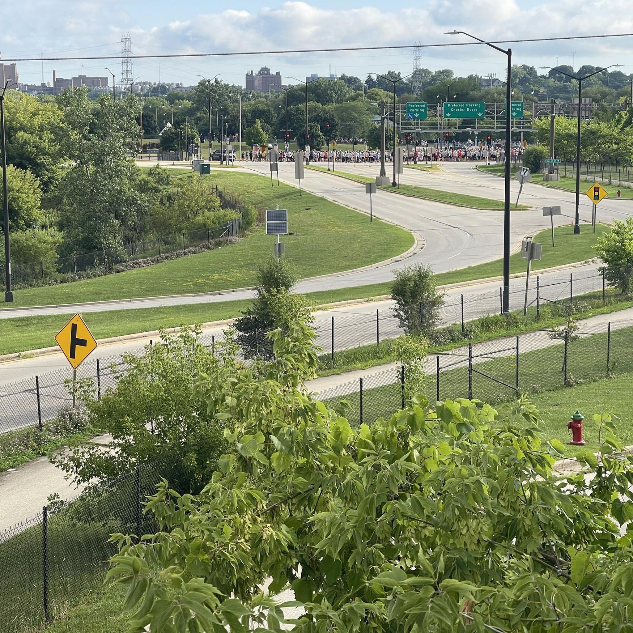
For those entering and leaving the Milwaukee City centre, there is a vast network of bike paths throughout the Milwaukee area. The paths themselves are a great way to navigate the area, however the quality of the asphalt in the cities is debatable. The city officials of the city should perhaps take better care of these cycleways, as they are developing rather larger potholes here and there, I would only recommend using tyres > 28mm width. The city in itself is very bikeable.
0
0

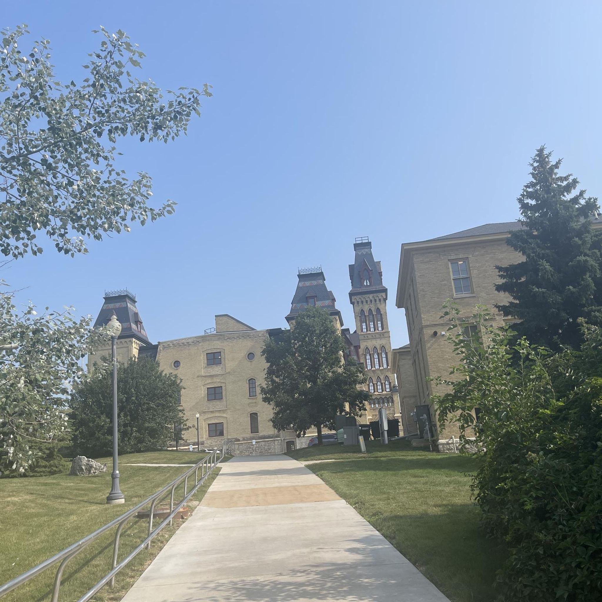
Just east of Wales, Wisconsin is this bridge over the trail. This is where the climb ends as you are heading west.
0
0

This riverside park's primary focus is the Waukesha Parade Memorial, dedicated to lives lost and support of those surviving from the 2021 Christmas Parade Tragedy.
0
0

Billed as "the most accessible beach in America" and as one of the cleanest beaches in the country, this spot can get pretty busy. It's free for day use and has a couple of on-site spots for food and refreshments.
0
0

The Hank Aaron State Trail runs alongside the Menomonee River, and at this point, you can access a viewpoint with nice views of the river and the small greenbelt surrounding it.
0
0
This small pond is located in Three Bridges Park. It’s an easy short detour while cycling the Hank Aaron State Trail, offering a nice spot to take a break by the water.
0
0
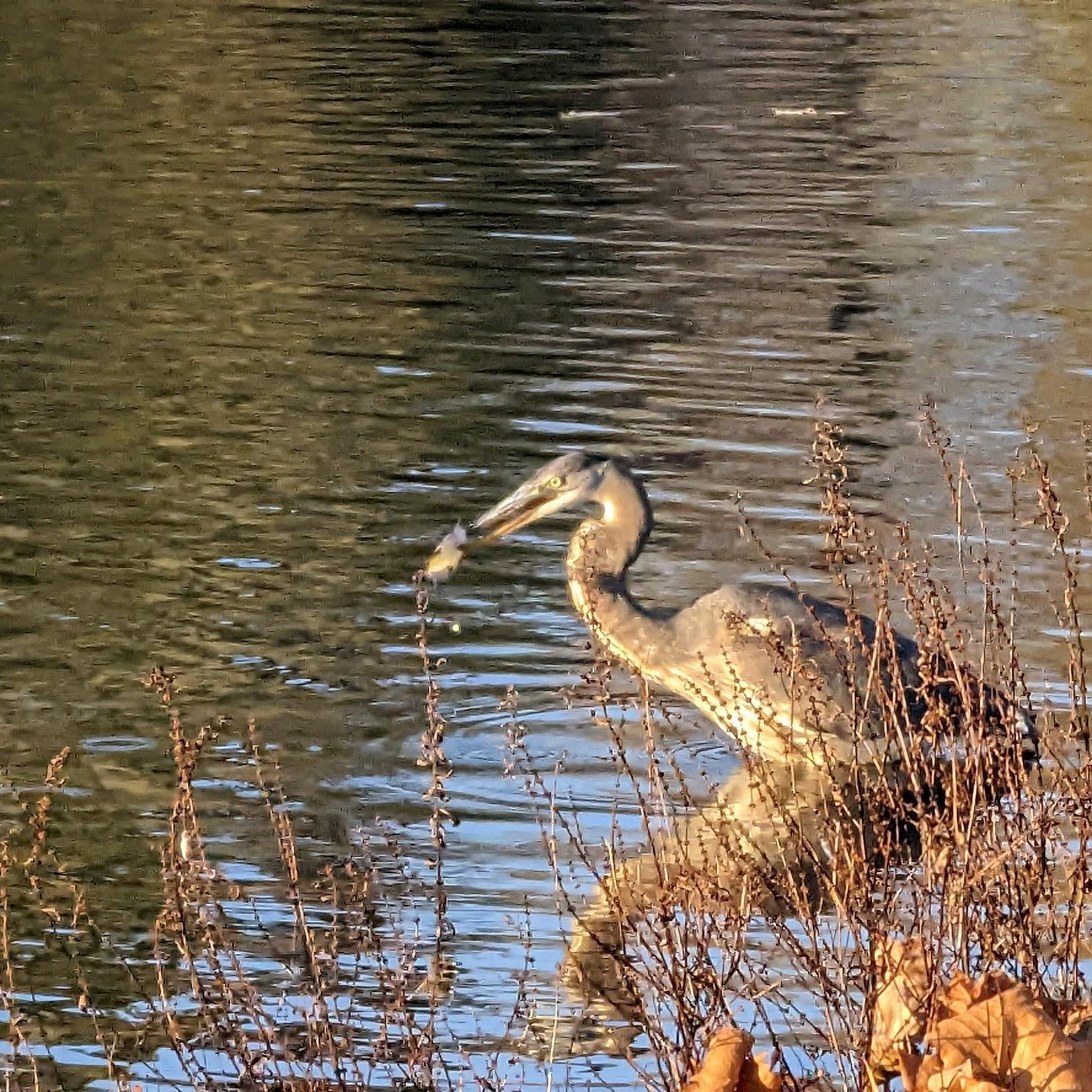
View of the Milwaukee river as it crosses under the Hoan Bridge at a very active boat landing.
0
0

WIth nearly 2,000 different species The Mitchell Park Horticultural Conservatory aims to be a veritable plant museum. Different areas within the domes represent varying ecosystems across the globe for a truly diverse collection of plant life not found anywhere else.
0
0
Frequently Asked Questions
How many road cycling routes are available in West Allis?
West Allis offers a wide selection of road cycling routes, with over 70 routes available for exploration. These routes cater to various preferences, from easy, scenic rides to more moderate challenges.
What are the typical difficulty levels for road cycling routes in West Allis?
The road cycling routes in West Allis are predominantly easy to moderate. Out of the available routes, 12 are classified as easy, and 3 are moderate, making the area accessible for a wide range of cyclists. There are no difficult routes listed.
What is the best time of year for road cycling in West Allis?
The months of May and June are particularly popular for road cycling in West Allis, offering pleasant weather conditions for exploring the extensive network of trails and bike-friendly infrastructure.
Are there any family-friendly paved bike paths in West Allis?
Yes, West Allis features several family-friendly paved bike paths. The Dragonfly Pond – Hank Aaron State Trail loop from West Allis is an easy 14.3-mile path, and the Dragonfly Pond – Mitchell Park Domes loop from West Allis is a 10.8-mile easy trail, both suitable for families. The broader Oak Leaf Trail system also offers numerous paved sections ideal for all ages.
What scenic viewpoints or landmarks can I see along the road cycling routes?
Many routes offer scenic views. The Root River Parkway provides diverse natural habitats including upland forests, wetlands, and meadows, and passes by Anderson Lake and Mangan Woods. The Hank Aaron State Trail offers views of the Milwaukee River and the city skyline, and you can also spot the Hoyt Park Footbridge on routes like the Hank Aaron Trail – Hoyt Park Footbridge loop from West Allis.
Are there any long-distance road cycling routes near West Allis?
For longer rides, the Oak Leaf Trail, a cornerstone of the Milwaukee County Parks system, spans over 135 miles and is ideal for road cycling, offering numerous connections and diverse routes. The Hank Aaron State Trail also provides a substantial 14-mile paved path through Milwaukee, with portions near West Allis.
Where can I find parking for road bike trails in West Allis?
Parking is generally available at various access points for the major trails. Greenfield Park serves as a common starting point for routes like the Root River Parkway loop from Greenfield & 121st Street, and other trailheads along the Root River Parkway, Hank Aaron State Trail, and New Berlin Recreation Trail typically offer parking facilities.
Are there loop road bike trails in West Allis?
Yes, many road cycling routes in West Allis are designed as loops. Examples include the Hank Aaron Trail – Hoyt Park Footbridge loop from West Allis, the Dragonfly Pond – Hank Aaron State Trail loop from West Allis, and the Root River Parkway loop from Greenfield & 121st Street, providing convenient circular routes.
What do other road cyclists enjoy most about road cycling in West Allis?
The road cycling experience in West Allis is highly rated by the komoot community, with an average score of 4.4 stars from over 21 reviews. Cyclists often praise the extensive network of paved trails, the scenic greenways like the Root River Parkway, and the accessibility of routes that cater to various skill levels.
Are there any cafes or pubs along the road bike trails in West Allis?
While specific cafes directly on the trails are not detailed, West Allis has a vibrant community. The city's commitment to cycling infrastructure and its urban setting mean that amenities like cafes and pubs are often accessible in nearby neighborhoods or within short detours from the main trails, especially closer to downtown areas.
What are the key characteristics of the terrain for road cycling in West Allis?
The terrain for road cycling in West Allis is generally flat to gently rolling. This makes the routes suitable for a wide range of cyclists, from beginners to those looking for a relaxed ride, with minimal challenging climbs.
Does West Allis have a bike-share program?
Yes, West Allis is a partner in the Bublr Bikes bike-share program. This offers convenient access to bicycles with several stations located on the east side of the city, near downtown and the Farmer's Market, making it easy to get started on a ride even without your own bike.
Most popular attractions around West Allis

Get inspired with the komoot mobile app


Explore more
Browse the best Road cycling routes in other regions.
