The best running trails around Merrimac
5.0
(5)
116
runners
14
runs
Jogging around Merrimac offers access to a variety of natural landscapes, including dense woodlands, wetlands, and open fields. The town is committed to preserving its open spaces, providing numerous trails for outdoor activities. Features like the Merrimac River and the Cobbler Brook watershed contribute to the region's diverse terrain. This area provides a mix of relatively flat paths and more varied routes through its natural areas.
Best jogging routes around Merrimac
- The most popular jogging route is Devil's Lake Loop…
Last updated: June 25, 2026
24
runners
8.37km
01:02
270m
270m
Hard run. Good fitness required. Sure-footedness, sturdy shoes and alpine experience required.
5.0
(2)
13
runners
15.2km
01:43
230m
230m
Hard run. Very good fitness required. Mostly paved surfaces. Suitable for all skill levels.

Sign up for free
12
runners
22.1km
02:41
460m
460m
Hard run. Very good fitness required. Sure-footedness, sturdy shoes and alpine experience required.
7
runners
10.6km
01:11
200m
200m
Moderate run. Good fitness required. Mostly paved surfaces. Suitable for all skill levels.
2
runners
4.14km
00:26
40m
40m
Easy run. Great for any fitness level. Mostly paved surfaces. Suitable for all skill levels.
Get access to more routes and recommendations from other explorers.
Sign up for free
Already have an account?
Our route recommendations are based on thousands of hikes, rides, and runs completed by other people on komoot.
Start today with a free account
Your next adventure awaits.
Login or Signup
Popular around Merrimac

Tips from the Community

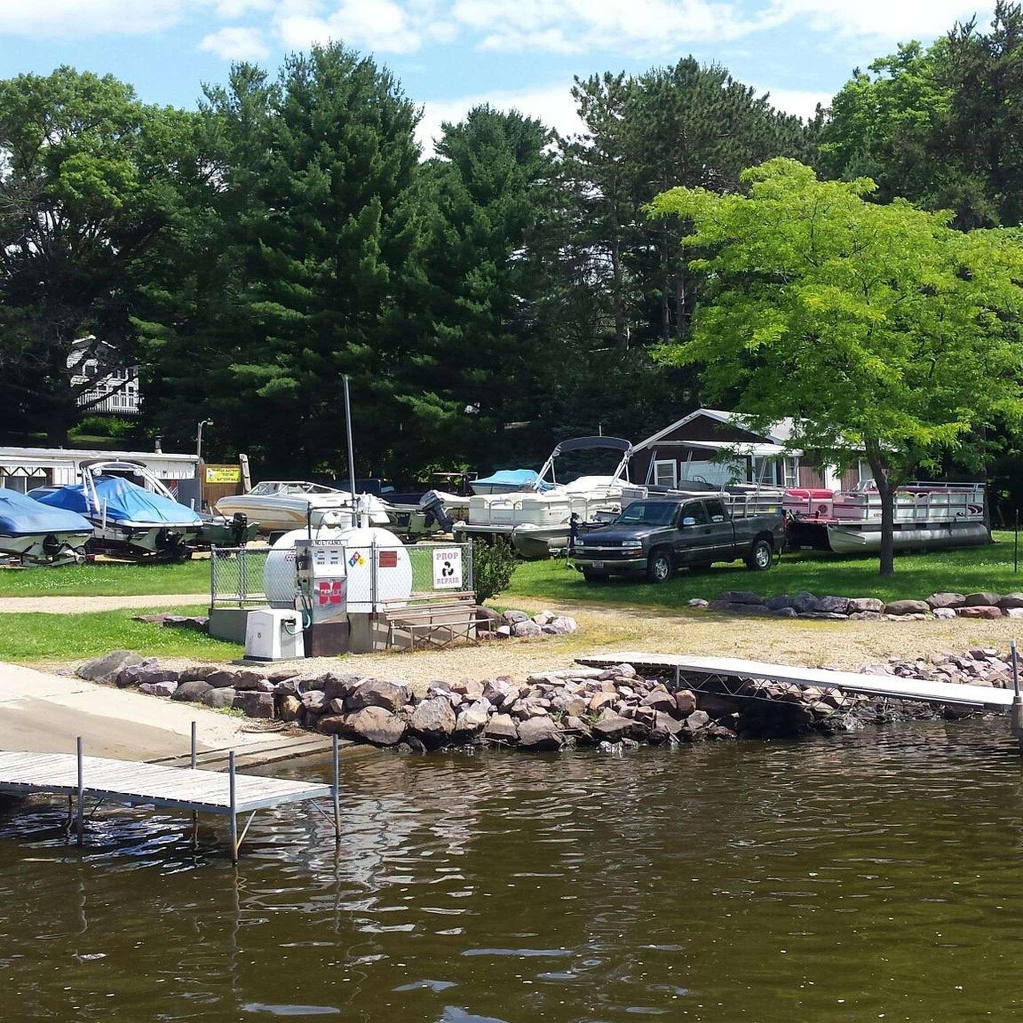
Another great place to launch a paddle craft and this side has the gift shop and small food service building
2
0


It took us about two hours. We brought walking sticks and those helped greatly!!
0
0

Cleopatra's Needle is a landmark rock formation that sticks out of the bluffs towards Devil's Lake. This is a great place to stop for a photo op and to admire the dramatic scenery.
0
0
The trail is nontechnical and runnable, and takes you up by Johnson Ponds and the Upper Ice Age Campground. This trail is less crowded than those by the bluffs and the lake.
0
0
There are three large parking lots near the trailhead, and vault toilets are available if you jog back toward the start of Park Road. From here you have access to the wealth of trails within the Devil Lake system, with a variety of options for vert and technicality. If you want to avoid the crowds around the lake, come early or head for the trails on the eastern side of the park. You can also park here to run the Ice Age Trail, which loops through the park.
0
0

This trail offers lush surroundings and consistent shade, with some pleasant hills. Along the way, you'll encounter several spots where you can enjoy the sights and sounds of a creek.
0
0
This rustic dirt trail winds through a lush area, offering plenty of shade. This is a relaxing route with minimal changes in elevation. Keep in mind that hunting is permitted in this area, so it's important to be mindful of the time of year and wear visible clothing.
0
0
Frequently Asked Questions
How many running trails are available in Merrimac?
Merrimac offers a selection of 16 running routes, providing a variety of options for different preferences and fitness levels. These routes are highly regarded by the komoot community, with an average rating of 5.0 stars.
What are the difficulty levels of running routes in Merrimac?
The running routes in Merrimac cater to various abilities. You'll find 3 easy routes perfect for a relaxed jog, 4 moderate routes for a balanced challenge, and 9 difficult routes for those seeking a more strenuous workout with significant elevation changes.
Are there any easy running paths suitable for beginners in Merrimac?
Yes, Merrimac has 3 easy running paths. A great option for beginners is the Parfrey's Glen Trail — Parfrey's Glen State Natural Area, which is 1.7 miles long and features gentle terrain, making it ideal for a relaxed run.
Where can I find challenging running routes with significant elevation in Merrimac?
For runners looking for a challenge, Merrimac offers 9 difficult routes. The Devil's Lake Loop is a notable option, spanning 5.2 miles with considerable elevation gain, providing a demanding workout amidst scenic landscapes.
Are there any loop running trails in Merrimac?
Yes, many of Merrimac's running routes are designed as loops, allowing you to start and finish in the same location. The Devil's Doorway Loop is a popular 2.2-mile circular route that offers a rewarding running experience.
What kind of natural landscapes can I expect to see while jogging in Merrimac?
Merrimac's running routes traverse diverse natural landscapes. You'll encounter dense woodlands, particularly within the Merrimac Town Forest, wetlands, and open fields. The Cobbler Brook watershed features a large beaver pond, and trails like the McLaren Trail offer scenic views alongside farm fields and wooded areas.
Are there any scenic viewpoints or natural attractions along the running routes?
Absolutely! Many routes offer scenic spots. For instance, you can find highlights like Balanced Rock and View of Spirit Lake or the West Bluff Trail viewpoint. The Merrimac Town Forest also features the Cobbler's Brook Trail with its large beaver pond, and the Marshview Trail offers beautiful views, especially of the Spiegel Fields.
What do other runners enjoy most about jogging in Merrimac?
The running routes in Merrimac are highly rated by the komoot community, with an average score of 5.0 stars from over 5 reviews. More than 130 runners have explored the area, often praising the diverse terrain, from dense woodlands to wetlands, and the variety of options for different ability levels.
Are there any trails in Merrimac that are relatively flat?
While many routes have varied terrain, the McLaren Trail, which follows an old railway right-of-way, is known for having relatively flat sections. This 2-mile trail runs through wooded areas and farm fields, offering a smoother running surface in parts.
What are some notable natural areas to explore while running in Merrimac?
The Merrimac Town Forest is a significant natural asset, offering a network of trails including the Cobbler's Brook Trail and Red Oak Trail, with diverse habitats and a beaver pond. Other areas like the McLaren Trail, Marshview and Innis Trails, and Beaver Pond Reservation also provide excellent opportunities to explore Merrimac's natural beauty.
Is there a good time of year to visit Merrimac for running?
Merrimac's trails are enjoyable throughout the year. However, it's worth noting that trails like the Marshview and Innis Trails can be muddy and wet in the spring due to the Powwow River watershed. For drier conditions, late spring through fall generally offers excellent running weather.
Most popular routes around Merrimac
Most popular attractions around Merrimac

Get inspired with the komoot mobile app


Explore more
Browse the best Running Trails & Routes in other regions.
