The best walks and hikes in the Flat Tops
4.8
(36)
540
hikers
48
hikes
If you've ever tried to plan hiking in the Flat Tops, you know how quickly the options can feel overwhelming. With so many trails crisscrossing this vast wilderness, it's tough to tell which routes are genuinely worth your time and effort, and which are just filler. We get it – you want the highlights, not the guesswork.
That's where komoot comes in. Our community has mapped, walked, and reviewed countless routes here, giving us a unique insight into what makes…
Last updated: May 10, 2026
5.0
(1)
7
hikers
8.84km
02:33
360m
0m
The Marvine Trail offers a captivating journey through Colorado's Flat Tops Wilderness, guiding you from rolling forests with pine and aspen groves to expansive, surprisingly flat meadows on the plateau.…
4
hikers
4.38km
01:13
80m
80m
The East Elk Creek Trail offers a delightful journey through a narrow canyon, where the fresh mountain air and the constant sound of cascading waterfalls create a serene atmosphere. You'll…

31.1km
09:32
1,210m
810m
The Devil's Causeway, Lost Lakes, and Chinese Wall Loop is a truly demanding hike, covering 19.3 miles (31.1 km) with 3976 feet (1212 metres) of elevation gain, typically requiring about…
4.74km
01:41
430m
20m
The Devil's Causeway is a truly unique hiking experience in the Flat Tops Wilderness, offering a thrilling journey across a narrow natural land bridge. You'll start with serene views of…
66.6km
17:19
440m
430m
The Glenwood Canyon Recreation Trail offers an immersive journey through one of Colorado's most iconic landscapes, following the Colorado River through a dramatic canyon. This difficult 41.4-mile (66.6 km) hiking…
766m
00:13
30m
0m
Step into a frozen wonderland on Koper's Trail, where the narrow canyon walls of Rifle Mountain Park create a breathtaking spectacle of ice. The route winds between towering red and…
5.0
(28)
376
hikers
4.83km
02:11
310m
310m
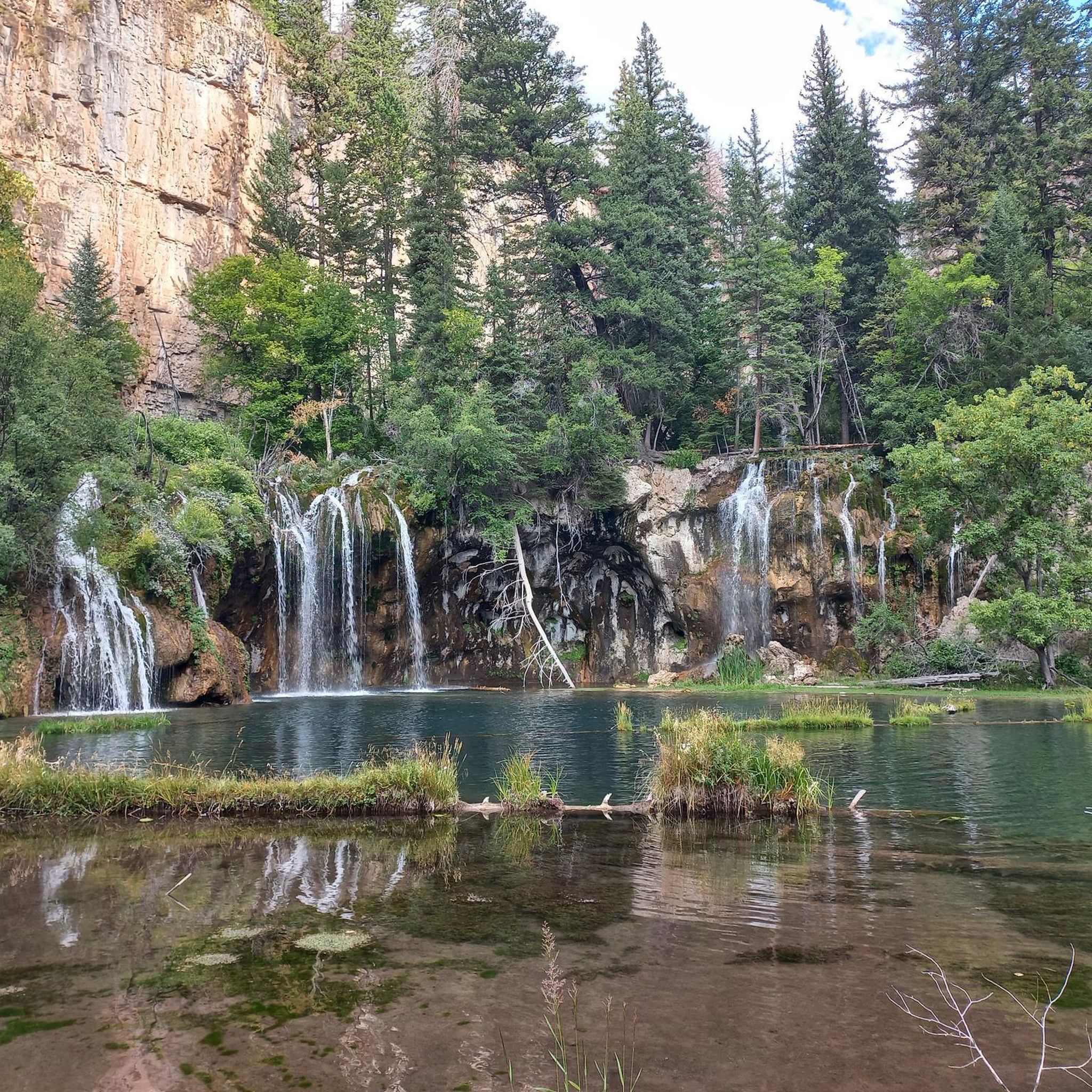
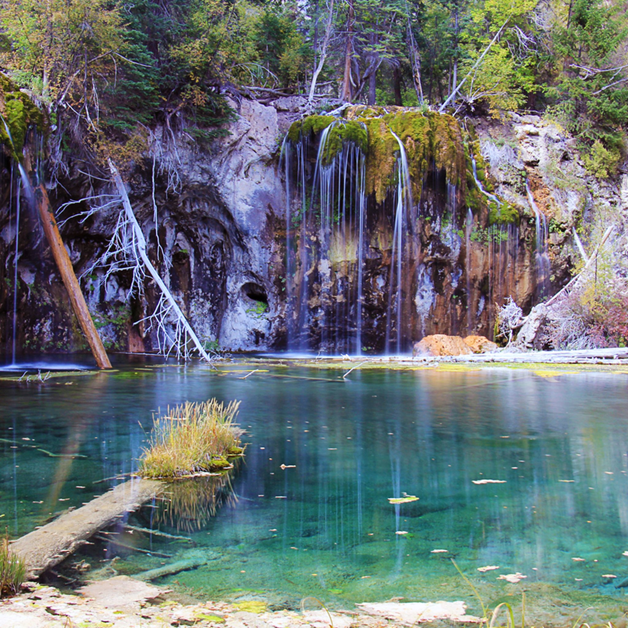
The Hanging Lake Trail is a truly unique Colorado hike, leading you through a shaded canyon alongside Deadhorse Creek to the vibrant turquoise waters of Hanging Lake. This moderate 3.0-mile…
4.8
(6)
39
hikers
11.2km
03:40
490m
490m
The Forest Hollow and Boy Scout Loop offers a dynamic hiking experience near Glenwood Springs, combining a steady climb through dense forest with an exhilarating descent. You'll traverse varied terrain,…
5.0
(1)
35
hikers
11.3km
03:42
530m
530m
The Grandstaff and Olsen Trail Loop offers a captivating journey through a canyon adorned with stunning red rock formations and vibrant plant life. You'll navigate a path that winds past…
4.5
(2)
21
hikers
16.5km
04:56
490m
490m
The Devils Causeway Loop is a truly iconic Colorado hike, taking you through diverse terrain from wildflower-filled meadows with views of Stillwater Reservoir to high alpine tundra. The route's defining…
Get access to more routes and recommendations from other explorers.
Already have an account?
Our route recommendations are based on thousands of hikes, rides, and runs completed by other people on komoot.
Start today with a free account
Your next adventure awaits.
Tips from the Community

The Storm King Firefighters Memorial in Glenwood Springs commemorates the 14 firefighters who died on July 6, 1994, during the devastating wildfire on Storm King Mountain. A sudden change in weather caused the fire to spread rapidly, encircling the firefighters. In their memory, a challenging hiking trail has been constructed to the site of the incident, where 14 crosses mark their final stand. A monument bearing their names and stories also stands in Two Rivers Park. The disaster led to significant improvements in fire safety and remains a powerful symbol of courage, sacrifice, and remembrance.
1
0
Nice to walk along the river, but nothing special.
1
0

This is a great place to park to access the bike path along the Colorado River through Glenwood Canyon. There are restrooms, river access, and shaded green space at the park.
1
0

Not far from Grizzly trailhead, go down a little bit to see the powerful Colorado River.
0
0

Easily accessible off of I-70, this trailhead is a great place to begin/ end your ride down the amazing Glenwood Canyon Trail. There is a small parking area, informational signs, and a vault toilet.
0
0

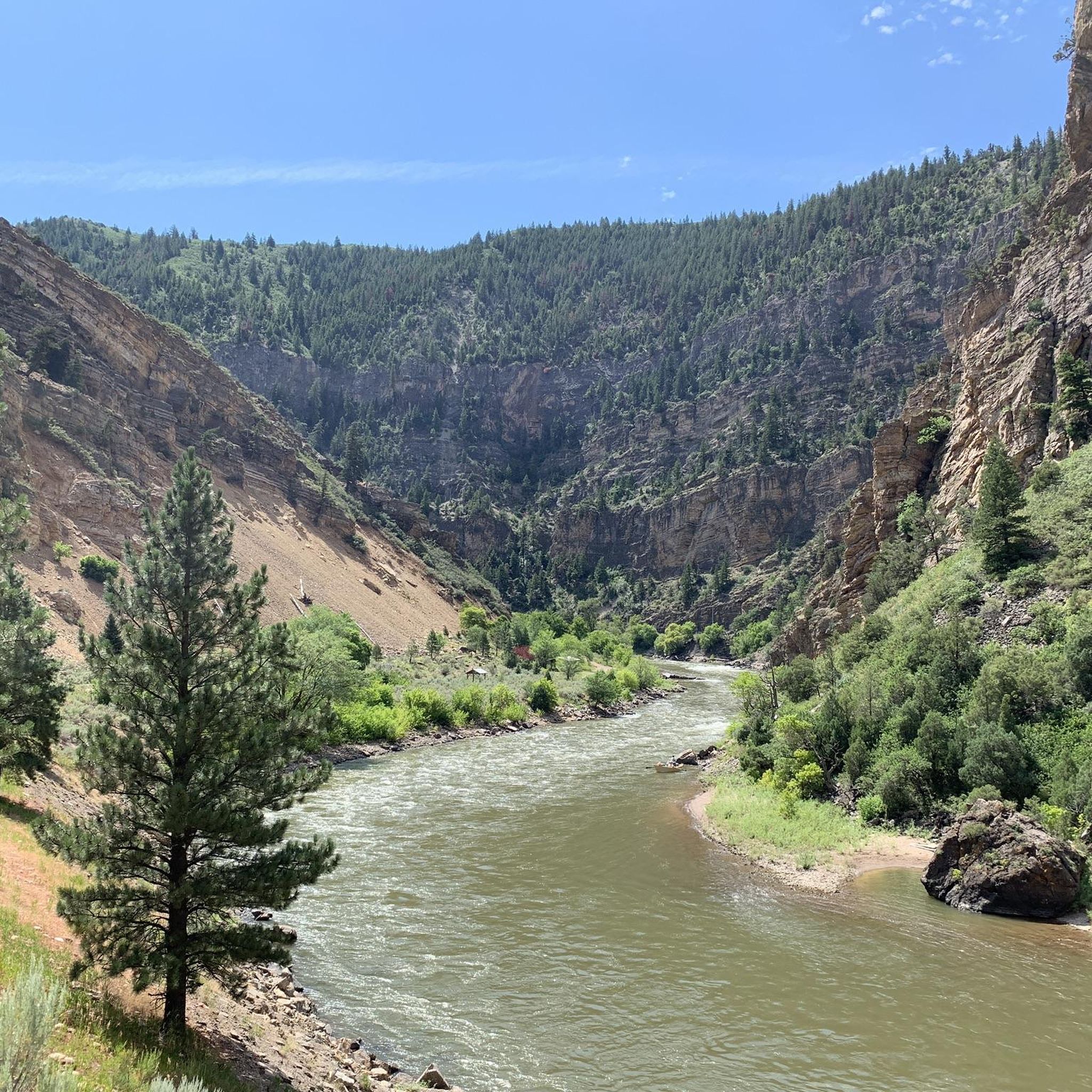
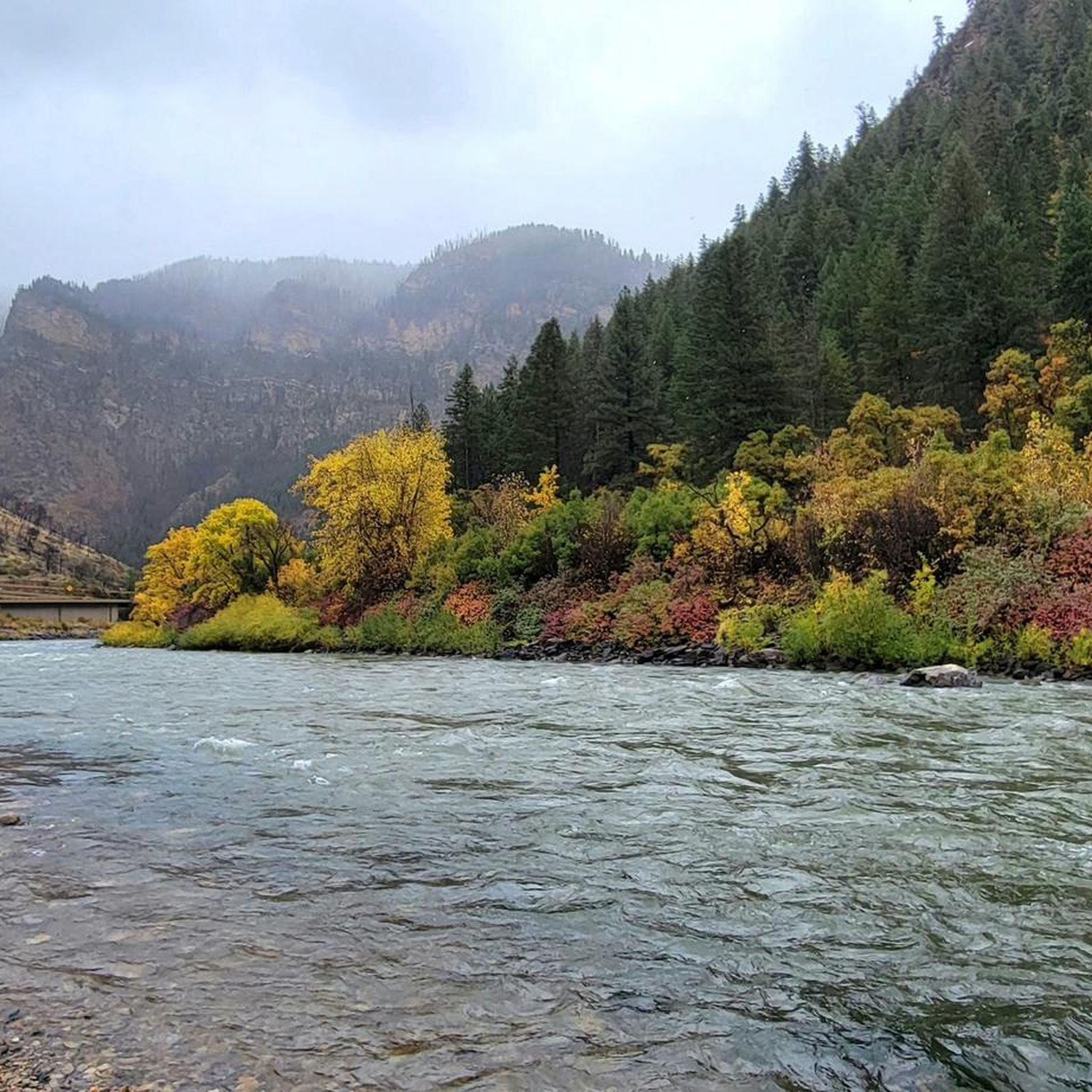
A spectacular stretch of the Colorado River is through Glenwood Canyon. The Glenwood Canyon section runs 12.5 miles in length and is 1,300 ft deep at the deepest point. There is great whitewater as well as fishing on this scenic section.
0
0
This is a great place to park to access the bike path along the Colorado River through Glenwood Canyon. There are restrooms, river access, and shaded green space at the park.
0
0
This is intended to be a rest stop for drivers, but works just as well as a stop for runners! Here you can use the restrooms, enjoy views of Glenwood Canyon, and you have access to the Grizzly Creek Trail (the upper section of which is closed for reforestation as of 2023) across the street.
0
0
Frequently Asked Questions
How many hiking trails are available in the Flat Tops Wilderness?
The Flat Tops Wilderness offers a wide array of hiking opportunities, with over 40 distinct trails. These routes cater to various skill levels, including easy strolls, moderate treks, and challenging multi-day backpacking trips.
What kind of terrain and difficulty can I expect on hikes in the Flat Tops?
Hikes in the Flat Tops Wilderness traverse diverse terrain, from extensive subalpine meadows carpeted with wildflowers to dense forests of aspen, spruce, and fir. You'll encounter unique volcanic plateaus, impressive canyon systems, and elevations ranging from 7,600 to nearly 13,000 feet. The difficulty varies, with 21 easy, 14 moderate, and 7 difficult routes available, ensuring options for all experience levels.
When is the best time of year to hike in the Flat Tops Wilderness?
The best time to hike in the Flat Tops Wilderness is typically during the summer months when the subalpine meadows are vibrant with wildflowers. Early autumn also offers stunning visual contrasts as the aspen forests display their vibrant fall colors. Higher elevations may remain snow-covered into early summer, so checking conditions is advisable.
Are there family-friendly hiking options in the Flat Tops?
Yes, the Flat Tops Wilderness offers several family-friendly hiking options. Many of the 21 easy routes are suitable for families, providing accessible paths through beautiful landscapes. For example, the Rifle Arch Trail is a shorter, easier hike leading to a unique natural formation.
Can I bring my dog on the hiking trails in the Flat Tops Wilderness?
The Flat Tops Wilderness is generally dog-friendly, but it's crucial to adhere to wilderness regulations. Dogs must be kept under control, typically on a leash, to protect wildlife and ensure a pleasant experience for all hikers. Always pack out waste and check for any specific trail restrictions before heading out.
Are there any notable waterfalls or unique natural features to see in the Flat Tops?
Absolutely! The Flat Tops are renowned for their unique natural features. You can visit Rifle Falls, Colorado's only 80-foot triple waterfall, or the nearby Spouting Rock Waterfall. The iconic Devil's Causeway, a narrow basalt ridge, offers breathtaking views. The region also boasts over 110 glacially-carved lakes and picturesque bluffs formed by volcanic activity.
Are there any circular hiking routes in the Flat Tops Wilderness?
Yes, there are circular hiking routes available. A prominent example is the Devils Causeway Loop Trail – Flat Tops Wilderness, which offers a challenging yet rewarding experience with expansive alpine views along the iconic Devil's Causeway.
Where can I find parking or trailheads for hiking in the Flat Tops?
Access points and trailheads for the Flat Tops Wilderness are generally found along the perimeter roads, particularly near popular areas like Trappers Lake and Rifle Falls State Park. While specific parking data isn't always available, many trailheads offer designated parking areas. Dispersed camping is also common, providing additional access points.
What do other hikers enjoy the most about hiking in Flat Tops?
The Flat Tops Wilderness is highly rated by the komoot community, with an average score of 4.7 stars from over 30 reviews. Hikers often praise the region for its sense of solitude, remote backcountry travel, and the stunning, unique volcanic landscapes. The diverse ecosystems, abundant lakes, and opportunities for wildlife viewing are also frequently highlighted.
Are there opportunities for camping near the hiking trails in the Flat Tops?
Yes, the Flat Tops Wilderness is an excellent destination for camping. Numerous campgrounds are situated throughout the area, many conveniently located near the abundant lakes and ponds. Additionally, opportunities for dispersed camping are available, allowing for a more secluded wilderness experience close to the trails.
What kind of wildlife might I encounter while hiking in the Flat Tops?
The Flat Tops Wilderness is biologically rich, offering fantastic opportunities for wildlife viewing. Hikers may spot elk (including Colorado's largest herd), deer, moose, and various smaller mammals like mink and marmots. Birdwatchers might also catch a glimpse of ptarmigan. Always maintain a respectful distance and never feed wild animals.
Are there any historical landmarks or points of interest in the Flat Tops area?
Beyond its natural beauty, the Flat Tops region holds historical significance as one of the first expanses of public land deemed 'wilderness' in the U.S. You can also find specific historical points of interest like the Pioneer Cemetery/Doc Holliday Grave, offering a glimpse into the area's past.
Most popular routes in the Flat Tops
Most popular attractions in the Flat Tops

Get inspired with the komoot mobile app


Explore more
Browse the best Hikes in other regions.
