The best road cycling routes around Bebenhausen
4.6
(1497)
22,530
riders
303
rides
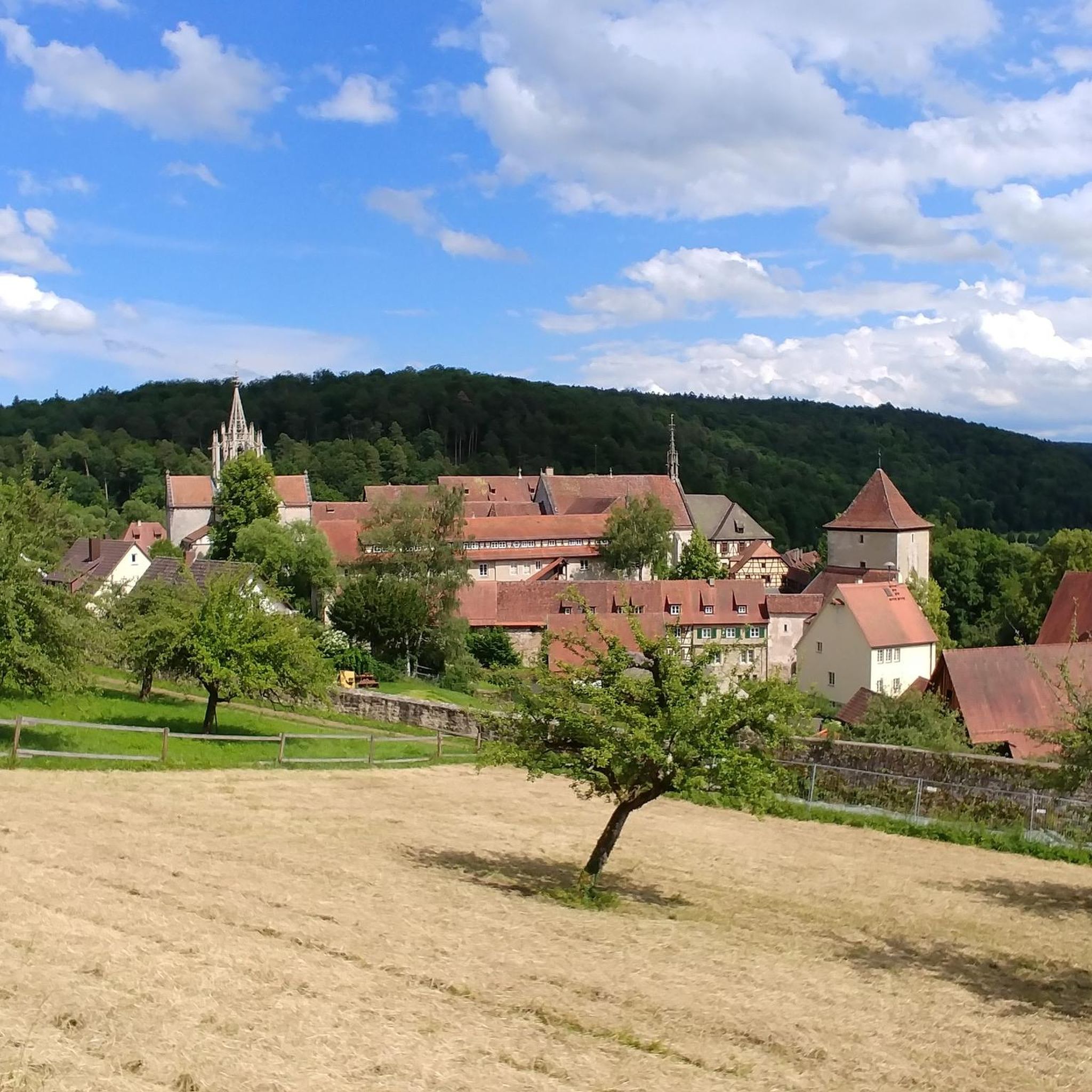
Road cycling routes around Bebenhausen are characterized by a landscape of river valleys, including the Neckar and Steinlach, alongside rolling hills and scenic viewpoints. The region offers varied terrain suitable for road cyclists, with routes often following established cycle paths. Elevation gains are present on many routes, providing opportunities for climbs without reaching high mountain peaks. This area provides a mix of natural scenery and accessible cycling infrastructure.
Best road cycling routes around Bebenhausen
- The most popular road cycling route is Bühl–Kilchberg Cycle Path – Weilheim Cyclists' Church loop from Tübingen Hbf, a 27.4 miles (44.1 km) trail that takes 1 hour 51 minutes to complete. This easy road bike route features a cycle path and cultural landmarks.
- Another top favourite among local road cyclists is View of the Neckar – Neckartal Cycle Path loop from Tübingen Hbf, a moderate 32.0 miles (51.4 km) path. This route offers scenic views along the Neckar River valley.
- Local road cyclists also love the Steinlach River, Tübingen – Rossberg Viewpoint loop from Tübingen Hbf, a 29.0 miles (46.7 km) trail leading through river valleys and to elevated viewpoints, often completed in about 2 hours 16 minutes.
- Road cycling around Bebenhausen is defined by river valleys, rolling hills, and scenic viewpoints. The network offers options for easy road bike routes Bebenhausen as well as moderate and advanced road cycling routes near Bebenhausen.
- The routes in Bebenhausen are highly rated by the komoot community with an average score of 4.6 stars from over 1,400 reviews. More than 21,000 road cyclists have used komoot to explore Bebenhausen's varied terrain.
Last updated: July 8, 2026
4.5
(70)
758
riders
Easy road ride. Great for any fitness level. Mostly well-paved surfaces and easy to ride.
4.8
(25)
281
riders
46.8km
02:17
570m
570m
Moderate road ride. Good fitness required. Some segments of this route may be unpaved and difficult to ride.

Sign up for free
4.3
(17)
277
riders
52.7km
02:23
530m
530m
Moderate road ride. Good fitness required. Mostly well-paved surfaces and easy to ride.
4.5
(11)
232
riders
36.3km
01:38
330m
330m
Moderate road ride. Good fitness required. Mostly well-paved surfaces and easy to ride.
4.6
(42)
247
riders
Easy road ride. Great for any fitness level. Mostly well-paved surfaces and easy to ride.
Get access to more routes and recommendations from other explorers.
Sign up for free
Already have an account?
Our route recommendations are based on thousands of hikes, rides, and runs completed by other people on komoot.
Start today with a free account
Your next adventure awaits.
Login or Signup
Popular around Bebenhausen
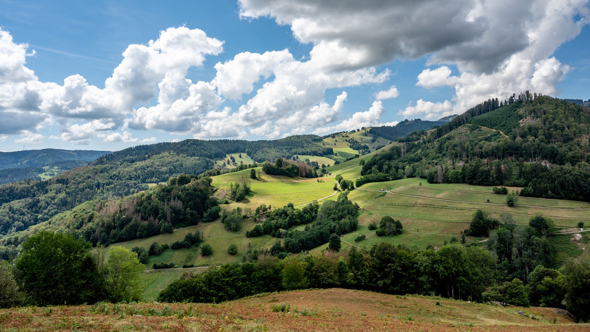
The National Natural Landscapes in Baden-Württemberg
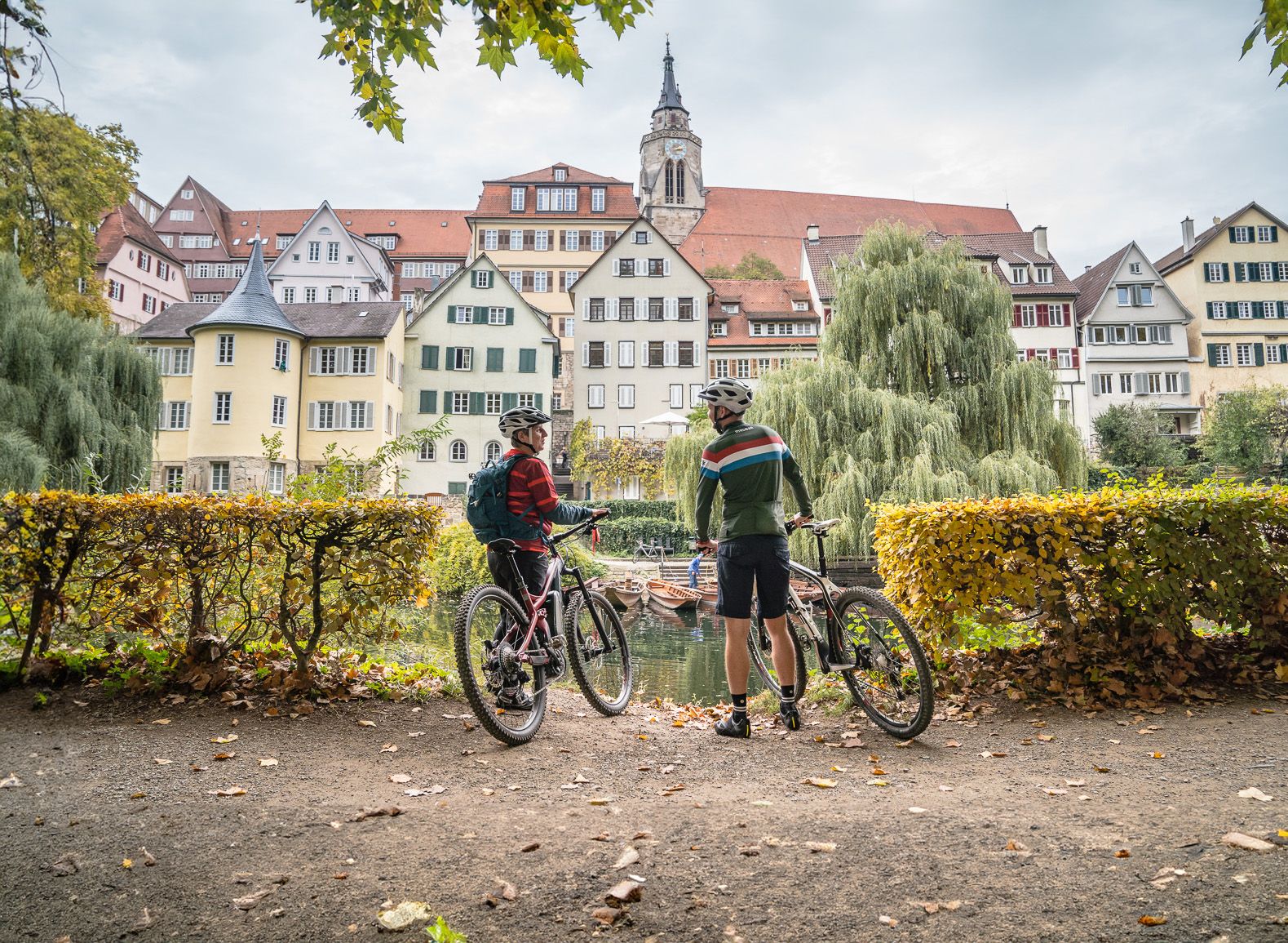
Discover the Früchtetrauf — cycle tours for the whole family
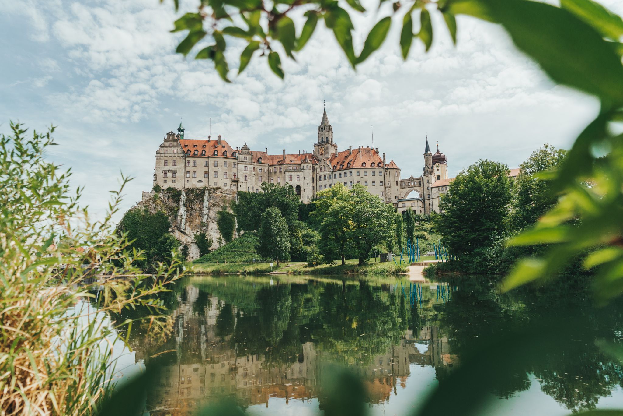
Germany’s Hohenzollern Cycle Path – 6 stages across the Swabian Alb
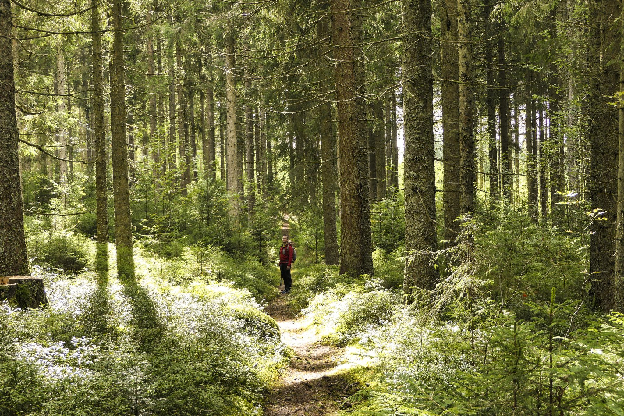
Discover 10 special protected natural areas in Germany’s Baden–Württemberg
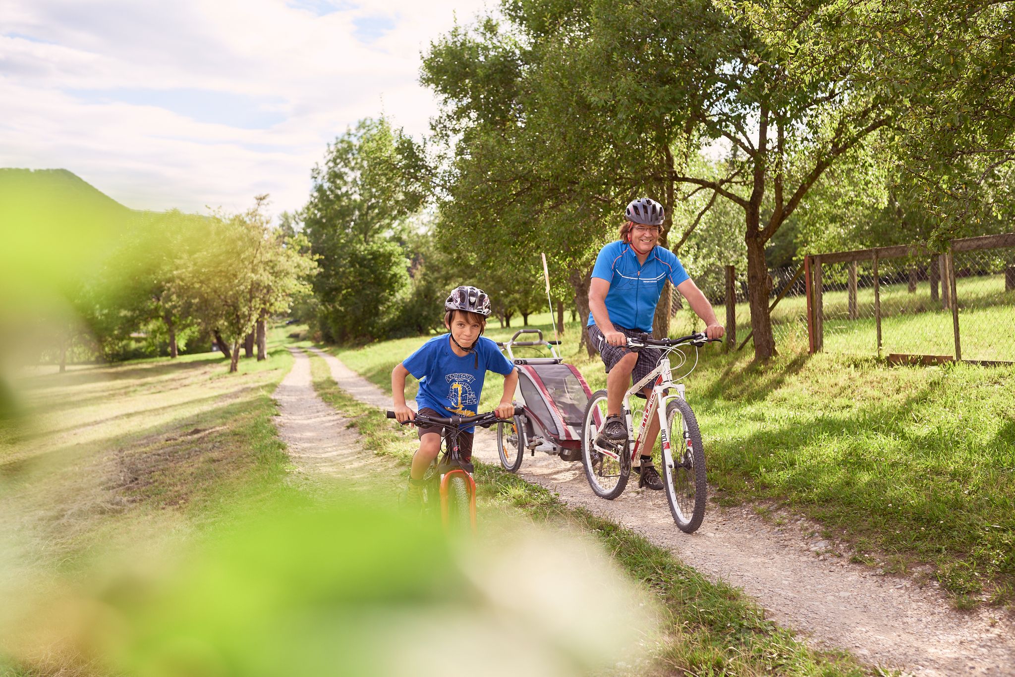
13 exciting themed bike Tours around Tübingen in Germany
Hiking around Bebenhausen
Cycling around Bebenhausen

Gravel biking around Bebenhausen
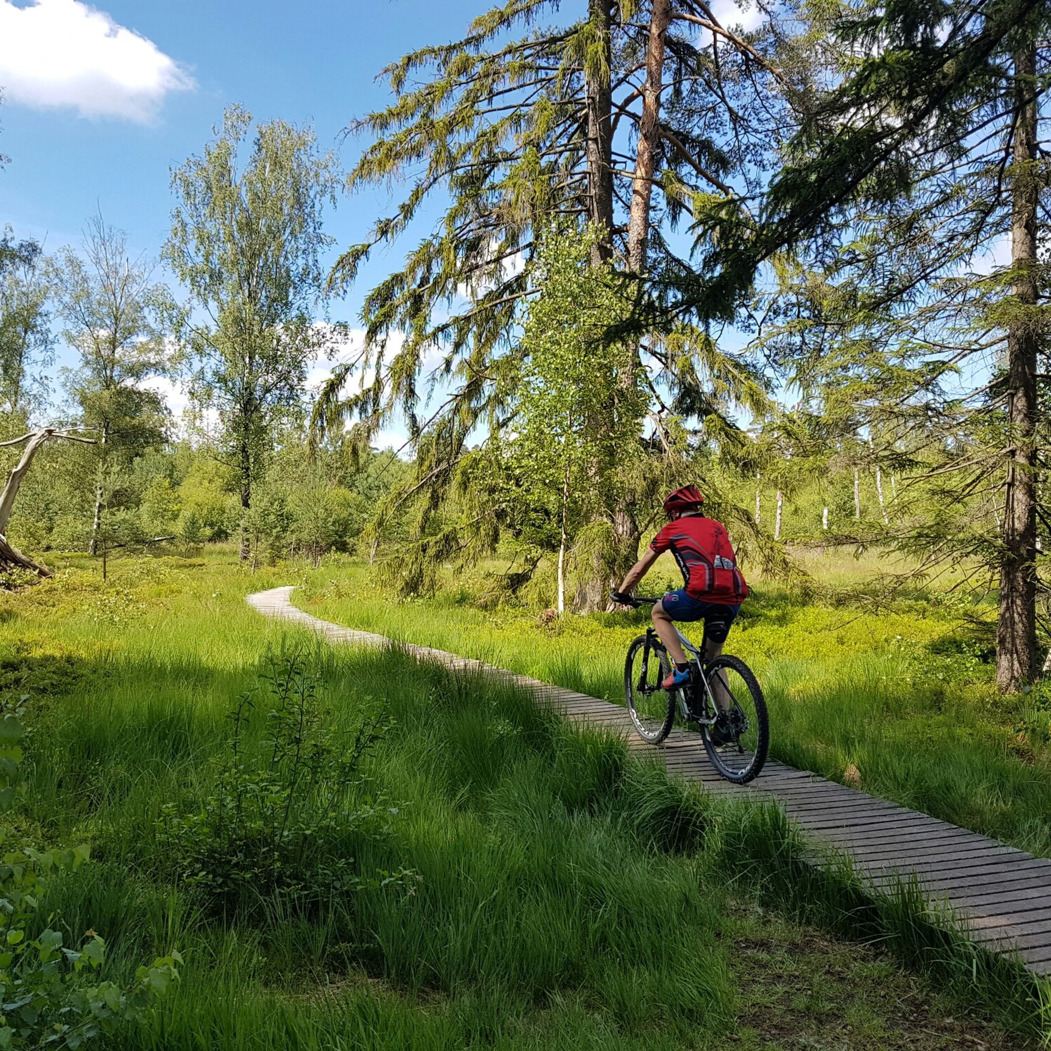
MTB Trails around Bebenhausen
Running Trails around Bebenhausen
Other adventures around Bebenhausen


Tips from the Community

Beautiful view from the AP Quenstedt monument 🗿 - Roßberg 869.6 m a.s.l. ⛰ - Reutlingen-Gönningen - LKR. Reutlingen Just to enjoy 🤩👍
0
0
Cycle path between B27 and Steinlach 🌊 - Tübingen-Derendingen - Tübingen district
0
0
View The Roßberg, together with the Roßfeld, forms the furthest promontory of the Swabian Alb. Accordingly, the view of the Alb escarpment extends in two directions: To the northeast, first to the Pfullinger Berg with the Gielsberg, then to Wanne and Schönberg, onward to the Urselberg, and finally to the Achalm, Teck, and, in the far distance, to the Hohenstaufen. To the southwest lies the Filsenberg with the Meisenbühl on top, in close proximity, above it the Farrenberg, to the left of which is the Hirschkopf with its massive landslide, then the Dreifürstenstein – followed by Hohenzollern with the Raichberg – and finally, as the last mountain range, the Lochenhörnle and Lochenstein, as well as the Schafberg and Plettenberg. The expansive views into the Alb foothills are impressive. At the foot of the mountain, to the northeast, lie Reutlingen and Pfullingen, to the north Tübingen with its satellite settlements on the Waldhäuser Höhe, and to the west Mössingen. In the south, Steinhilben rises seemingly to the clouds on a wave of the undulating highlands. On a clear day, a large section of the Alps is visible in the distance. Fantastic sunsets and sunrises are frequent. Even at night, the view of the sea of lights is a breathtaking experience. Source: https://tuerme-wanderheime.albverein.net/aussichtstuerme/rossbergturm/#%C2%A7%201
1
0

Nice, fast cycle path.
1
0

The cycle path overall is very nice
0
0

An insider tip is the bench with a table for mobile work with this fantastic view.
2
0

Design and rarity complement each other to create a work of art.
0
0

There is even a bicycle roundabout
0
0
Frequently Asked Questions
How many road cycling routes are available around Bebenhausen?
There are over 300 road cycling routes in the Bebenhausen area, offering a wide range of options for cyclists of all skill levels. This includes 69 easy routes, 151 moderate routes, and 86 difficult routes.
Are there road cycling routes suitable for beginners or families in Bebenhausen?
Yes, Bebenhausen offers several easy road cycling routes perfect for beginners or families. An excellent option is the Bühl–Kilchberg Cycle Path – Weilheim Cyclists' Church loop from Tübingen Hbf, which is 27.4 miles (44.1 km) long and features a dedicated cycle path and cultural landmarks.
What kind of elevation gain can I expect on road cycling routes near Bebenhausen?
Road cycling routes around Bebenhausen feature varied terrain, including river valleys and rolling hills. While not reaching high mountain peaks, many routes offer opportunities for climbs. For example, the Steinlach River, Tübingen – Rossberg Viewpoint loop from Tübingen Hbf includes an elevation gain of approximately 574 meters.
Are there any advanced road cycling routes for experienced riders?
Yes, for experienced riders seeking a challenge, there are 86 difficult road cycling routes around Bebenhausen. These routes often feature more significant elevation changes and longer distances, providing a rewarding experience for advanced cyclists.
What are some scenic viewpoints or attractions I can see along the road cycling routes?
Many routes offer scenic views along river valleys and elevated points. You can pass by attractions such as Tuebingen, the Siebenmühlental Cycling and Hiking Trail, or the tranquil Water Lily Pond in the Schaich Valley. The View of the Neckar – Neckartal Cycle Path loop from Tübingen Hbf specifically highlights views along the Neckar River.
Are there loop road cycling routes available in Bebenhausen?
Yes, many road cycling routes in Bebenhausen are designed as loops, allowing you to start and finish at the same point. Examples include the Bühl–Kilchberg Cycle Path – Weilheim Cyclists' Church loop from Tübingen Hbf and the Neckar Riverfront, Tübingen – Cycle path bridge Tübingen station loop from Tübingen Hbf.
What is the best season for road cycling in Bebenhausen?
The region's landscape of river valleys and rolling hills makes it enjoyable for road cycling through spring, summer, and autumn. Spring and autumn offer pleasant temperatures and vibrant scenery, while summer is ideal for longer rides. Winter cycling is possible, but conditions may vary with snow or ice.
Are there any routes that pass by cafes or places to stop for refreshments?
While specific cafe stops are not always listed for every route, the area around Bebenhausen, including nearby Tübingen, offers various establishments. You might find places like Biergarten Waldmeister or Schloss Hohenentringen Restaurant & Beer Garden along or near some routes, especially those passing through towns or popular areas.
What do other road cyclists enjoy most about road cycling in Bebenhausen?
The road cycling routes in Bebenhausen are highly rated by the komoot community, with an average score of 4.6 stars from over 1,400 reviews. Cyclists often praise the varied terrain, the scenic river valleys, and the well-maintained cycle paths that make for an enjoyable riding experience.
Can I find routes that offer views of the Neckar River?
Absolutely. The Neckar River is a prominent feature of the region, and several road cycling routes follow its course, offering picturesque views. The Neckartal Cycle Path – View of Bebenhausen loop from Tübingen Hbf is a great example, providing beautiful vistas along the river.
Are there any hidden gems or less-traveled routes for road cyclists?
With over 300 routes, there are many opportunities to discover less-traveled paths. Exploring routes that venture slightly off the main river valleys into the quieter rolling hills can reveal charming villages and serene landscapes, offering a sense of discovery away from more popular trails.
Most popular routes around Bebenhausen
Most popular attractions around Bebenhausen

Get inspired with the komoot mobile app


Explore more
Browse the best Road cycling routes in other regions.
