The best road cycling routes around Shannondale
5.0
(1)
216
riders
6
rides
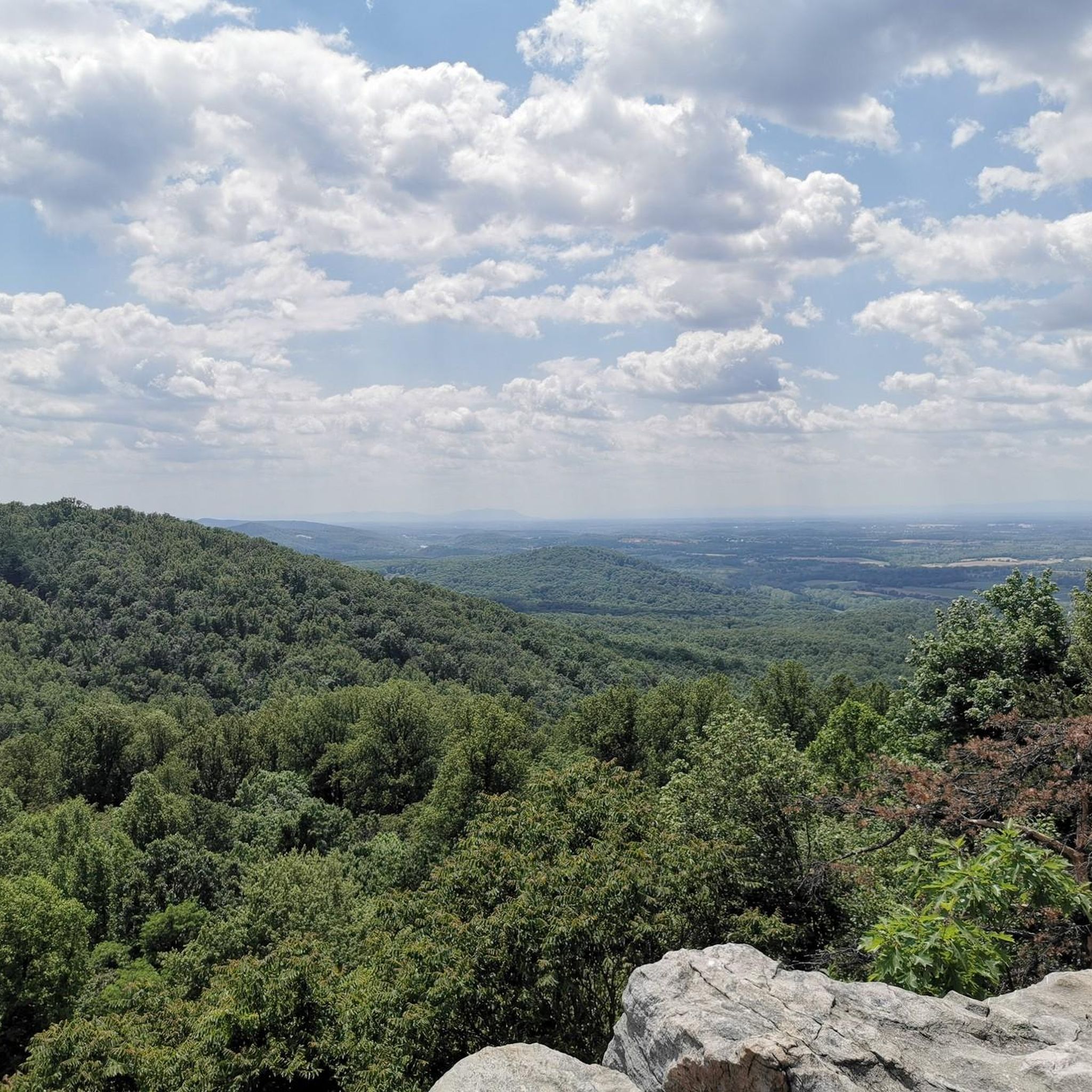
Road cycling routes around Shannondale offer diverse terrain within the picturesque Shenandoah Valley and Eastern Panhandle of West Virginia. The region features rolling farmlands, verdant valleys, and varied topography from gentle slopes to challenging ascents, nestled between the Blue Ridge and Allegheny Mountains. Cyclists can experience scenic river views along the Potomac River and its tributaries. This area provides a compelling mix of natural beauty and dedicated cycling paths for road cyclists.
Best road cycling routes around Shannondale
- The most…
Last updated: July 12, 2026
30
riders
50.8km
02:10
310m
310m
Moderate road ride. Good fitness required. Mostly well-paved surfaces and easy to ride.
58
riders
88.7km
04:50
1,160m
1,160m
Hard road ride. Very good fitness required. Mostly well-paved surfaces and easy to ride.

Sign up for free
22
riders
73.5km
03:12
550m
550m
Moderate road ride. Good fitness required. Mostly well-paved surfaces and easy to ride.
9
riders
71.6km
03:07
610m
610m
Moderate road ride. Good fitness required. Mostly well-paved surfaces and easy to ride.
5.0
(1)
4
riders
56.4km
02:48
430m
430m
Moderate road ride. Good fitness required. Some segments of this route may be unpaved and difficult to ride.
Our route recommendations are based on thousands of hikes, rides, and runs completed by other people on komoot.
Start today with a free account
Your next adventure awaits.
Login or Signup



Tips from the Community

The Washington & Old Dominion Trail and Bridal Path parallel one another as the trails run through a tunnel of green between Leesburg and Ashburn.
0
0

Purcellville, at the end of the rail line, has great places to stop. Monk's BBQ is fantastic and easy, and if you want to simply spend more time you can take the distillery tour at the Catoctin Creek Distilling Company (makers of great rye and other spirits). They town has also kept the old downtown shopping area straight out of the 1940s, which is great to see.
1
0

Goosecup is a coffee shop, located in Leesburg, VA. It is is a popular spot with locals and visitors alike and is known for its coffee and cozy atmosphere.
0
0
Picturesque gentle climb on the W&OD, a reminder that this was a railway for years and years
0
0
This intersection can be busy, since it leads directly to WV cities of Charlestown, etc close to the west. The lovely church on the north of the roundabout often has unique food trucks and local ice cream from Moo Thru, a local dairy that produces simply amazing milk, cream, cheese, and ice cream!
1
0

The stretch of the W&OD from Leesburg to Purcellville (~10 miles) is by far the best section.
0
0
The Leesburg Quarry is a historical site right off the Washington & Old Dominion Trail. This paved multi-use trail is about 45 miles and is a great way to ride around the area free of cars. There is a historical marker right off the trail in front of the old quarry. In the 1860s, the railroad's arrival spawned businesses like the Leesburg Lime Company, operating here since 1868. Using dynamite, quarriers extracted limestone, later burned in kilns. The company supplied farmers with fertilizer and builders with plaster. Its decline came when bluestone from the eastern county proved more durable for roads.
0
0

At 582 feet, Clarkes Gap, was the highest point on the Washington & Old Dominion Railroad. The stone bridge dates from the 1870s, but instead of a railway line now going underneath, there is a recreational trail and this is a super trail for cycling.
0
0
Frequently Asked Questions
How many road cycling routes are available around Shannondale?
There are over 5 road cycling routes around Shannondale, offering a diverse range of experiences. These routes are highly rated by the komoot community, with an average score of 4.8 stars from over 9 reviews.
What kind of terrain can I expect when road cycling in Shannondale?
Road cycling around Shannondale features a varied topography, from gentle slopes to challenging ascents. You'll encounter rolling farmlands, verdant valleys, and scenic river views along the Potomac River and its tributaries. The region is nestled between the Blue Ridge and Allegheny Mountains, providing diverse landscapes.
Are there road cycling routes suitable for beginners or families in Shannondale?
Yes, Shannondale offers several routes suitable for those looking for an easier ride. For example, the Roadbike loop from Cool Spring Preserve is an easy 18.8-mile trail that takes about 1 hour 17 minutes. Another accessible option is the Hillsboro Gap loop from Sunny Ridge, an easy 16.4-mile route.
Where can I find challenging road cycling routes near Shannondale?
For advanced road cyclists seeking a challenge, Shannondale provides routes with significant elevation gain. The Bluemont General Store loop from Snickers Gap is a difficult 64.9-mile route with over 5,200 feet of climbing, typically completed in about 6 hours. This route offers a demanding experience through varied landscapes.
What are some scenic viewpoints or natural features I can see along the road cycling routes?
As you cycle around Shannondale, you can enjoy picturesque pastoral landscapes, rolling farmlands, and views of the Potomac River. While not directly on every route, nearby attractions include Jefferson Rock, offering panoramic views, and the Shenandoah River Bridge, providing river vistas.
Are there any loop trails for road cycling in Shannondale?
Yes, many of the road cycling routes around Shannondale are designed as loops. For instance, the Plenty of Parking – Route 9 Bike Path loop from Charles Town is a moderate 24.7-mile loop, and the Roadbike loop from Cool Spring Preserve is an easy 18.8-mile loop, both offering circular journeys through the local countryside.
What is the best time of year to go road cycling in Shannondale?
The Shenandoah Valley region, including Shannondale, offers pleasant cycling conditions during spring and fall with mild temperatures and beautiful foliage. Summer can be warm, but early mornings are often ideal. Winter cycling is possible but requires checking weather conditions for ice or snow, especially on higher elevations.
Are there any cafes or places to stop for refreshments along the road cycling routes?
While specific cafes directly on every route are not listed, the region features charming villages and historic towns where you can find refreshments. Routes like the Turner Pond – Bluemont General Store loop from Snickers Gap pass through areas where you might find local establishments to refuel.
What do other road cyclists enjoy the most about road cycling in Shannondale?
The area is highly rated by the komoot community, with an average score of 4.8 stars. Reviewers often praise the diverse terrain, from rolling farmlands to challenging ascents, and the scenic beauty of the Shenandoah Valley. The variety of routes catering to different skill levels is also frequently highlighted.
Is there public transport access or parking available for road cycling routes in Shannondale?
While specific public transport options directly to trailheads may be limited, many routes, such as the Plenty of Parking – Route 9 Bike Path loop from Charles Town, are designed with convenient parking in mind. It's advisable to check the starting points of individual routes for specific parking information.
Are there any historical sites or landmarks to explore near the cycling routes?
Yes, the region is rich in history. Cyclists can encounter historic towns and sites. Notable landmarks include Philip Frankel & Co. (NPS Lower Town Information Center), a historical site, and the Goodloe E. Byron Memorial Pedestrian Walkway, which is a historic bridge.
Most popular routes around Shannondale
Most popular attractions around Shannondale

Get inspired with the komoot mobile app


Explore more
Browse the best Road cycling routes in other regions.
