The best walks and hikes around Fischen im Allgäu
4.5
(3241)
13,285
hikers
121
hikes
Hiking trails around Fischen im Allgäu traverse the diverse terrain of the Allgäu Alps, featuring idyllic valleys, expansive meadows, and dense forests. The region is situated within the Nagelfluhkette Nature Park, offering a backdrop of prominent peaks and well-preserved natural beauty. The Iller River flows through Fischen, providing pleasant riverside paths. This landscape supports a range of hiking experiences, from gentle valley walks to challenging mountain ascents.
Best hiking trails around Fischen im Allgäu
- The most popular hiking route is View of Gaisalpsee – Lower Gaisalp Lake loop from Langenwang (Schwaben), a 8.1 miles (13.1 km) trail that takes 5 hours 3 minutes to complete. This difficult route features significant elevation gain and views of the Gaisalpsee.
- Another top favourite among local hikers is Hinanger Brook Trail – Hinanger Waterfall loop from Fischen, a moderate 7.6 miles (12.2 km) path. This trail follows the Hinanger Brook, leading to the Hinanger Waterfall.
- Local hikers also love the Iller River – Illerdamm River Landscape loop from Fischen, a 3.3 miles (5.3 km) trail leading through the Illerdamm River Landscape, often completed in about 1 hour 22 minutes.
- Hiking around Fischen im Allgäu is defined by its Allgäu Alps peaks, the Iller River valley, and the Nagelfluhkette Nature Park. The network of routes offers options for various ability levels, from easy riverside walks to more strenuous mountain climbs.
- The routes in Fischen im Allgäu are highly rated by the komoot community with an average score of 4.5 stars from over 3,100 reviews. More than 13,000 hikers have used komoot to explore Fischen im Allgäu's varied terrain.
Last updated: July 1, 2026
4.7
(338)
1,217
hikers
12.2km
03:34
300m
300m
Moderate hike. Good fitness required. Mostly accessible paths. Sure-footedness required.
4.7
(103)
380
hikers
10.0km
02:59
260m
260m
Moderate hike. Good fitness required. Mostly accessible paths. Sure-footedness required.

Sign up for free
4.7
(181)
719
hikers
13.1km
05:03
750m
750m
Hard hike. Very good fitness required. Sure-footedness, sturdy shoes and alpine experience required.
4.4
(181)
824
hikers
4.87km
01:15
20m
20m
Easy hike. Great for any fitness level. Easily-accessible paths. Suitable for all skill levels.
4.7
(125)
486
hikers
28.9km
07:59
460m
460m
Hard hike. Very good fitness required. Easily-accessible paths. Suitable for all skill levels.
Get access to more routes and recommendations from other explorers.
Sign up for free
Already have an account?
Our route recommendations are based on thousands of hikes, rides, and runs completed by other people on komoot.
Start today with a free account
Your next adventure awaits.
Login or Signup
Popular around Fischen im Allgäu

#GoFurther – discover the views of Germany!
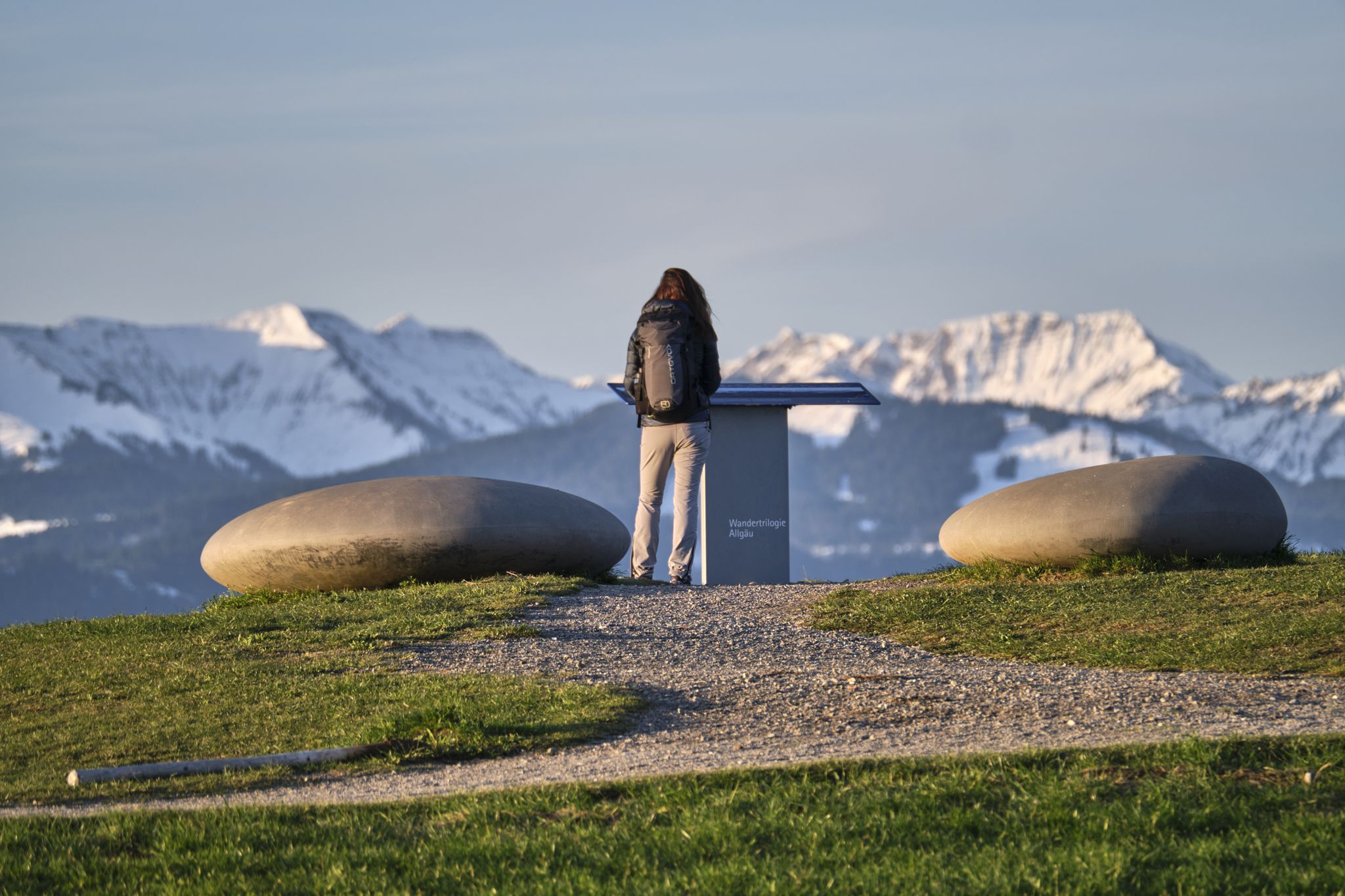
Experience history – hike the Trilogy Tours in Allgäu

Climbing Alpine peaks on the Route to the Top – Allgäu hiking trilogy
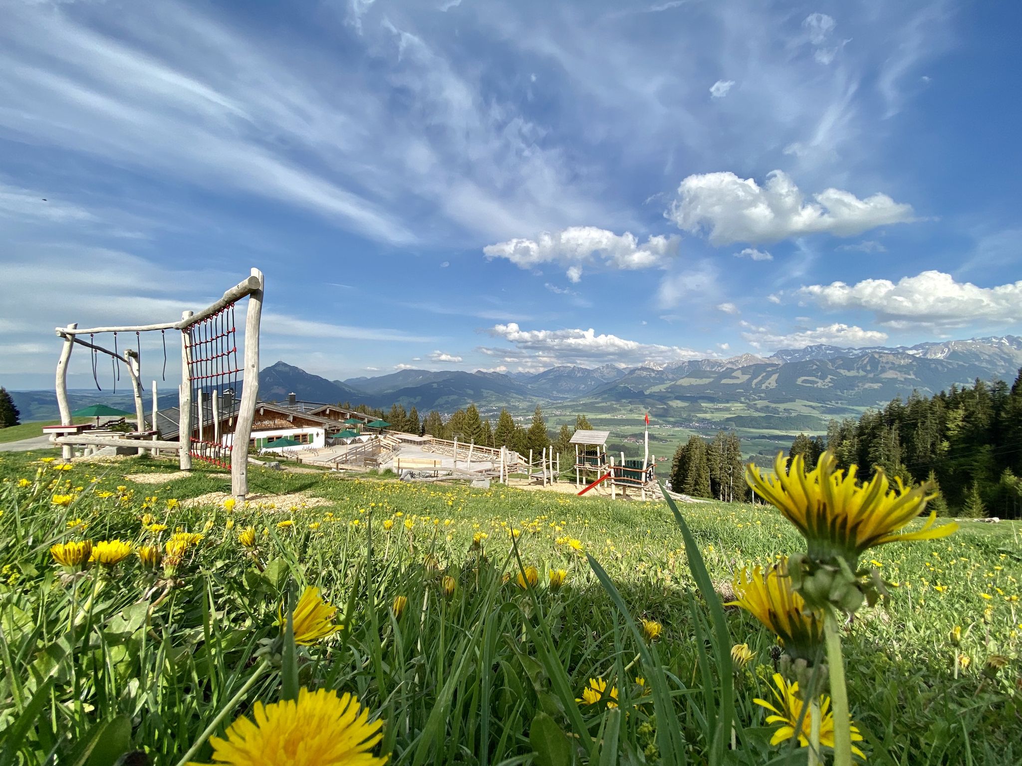
Hörnerdörfer - Themenwege
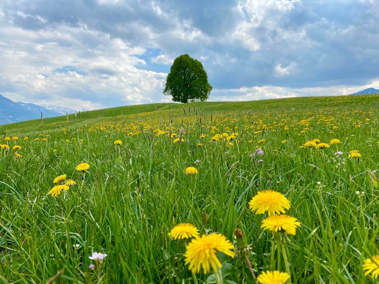
Hörnerdörfer - Idyllische Talwanderungen
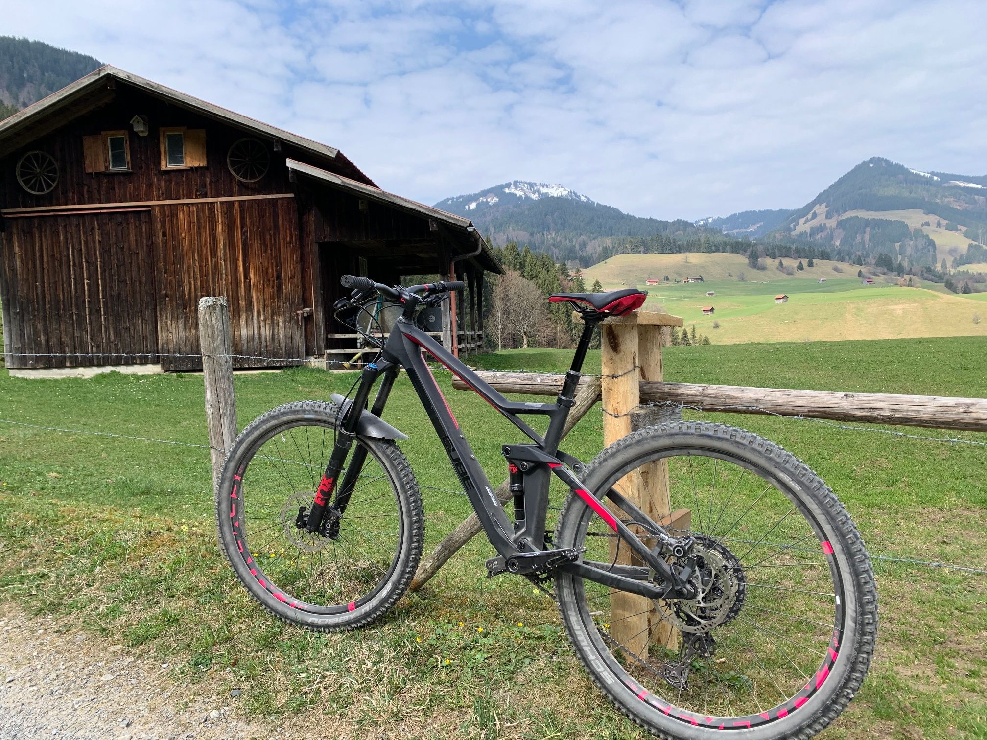
Hörnerdörfer - Radtouren
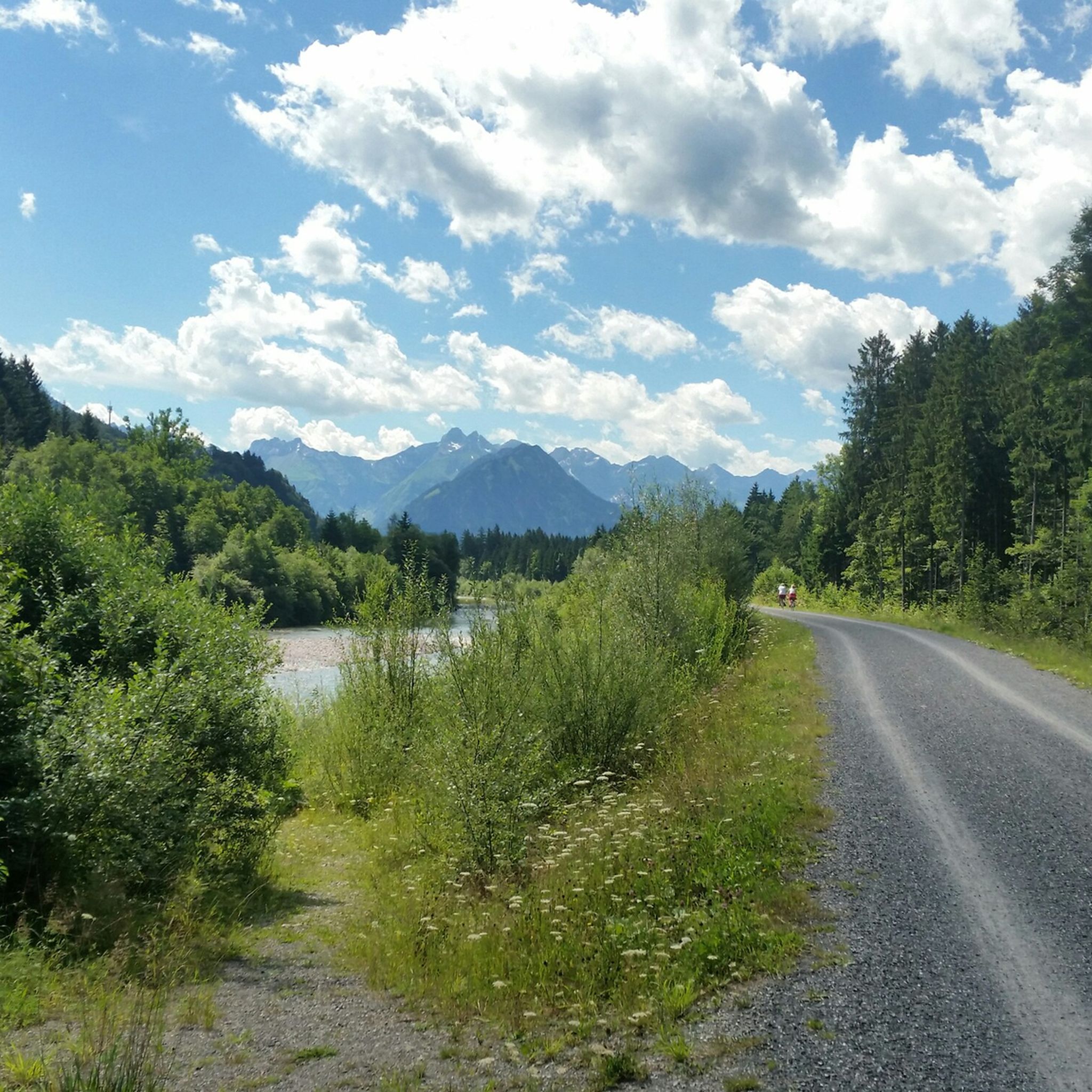
MTB Trails around Fischen im Allgäu
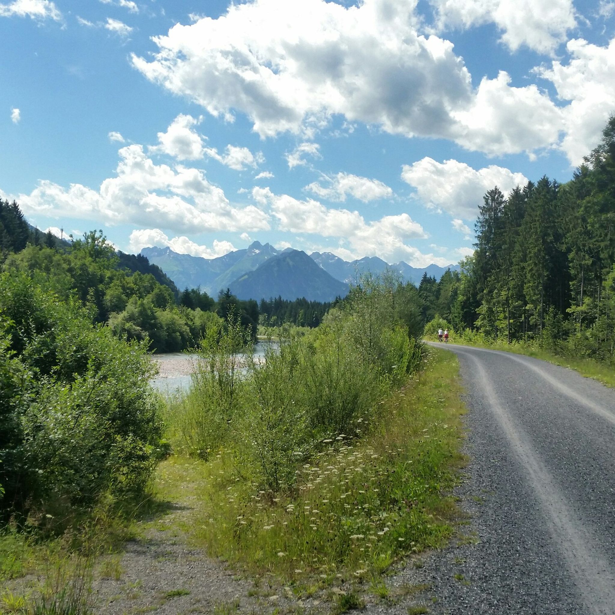
Cycling around Fischen im Allgäu
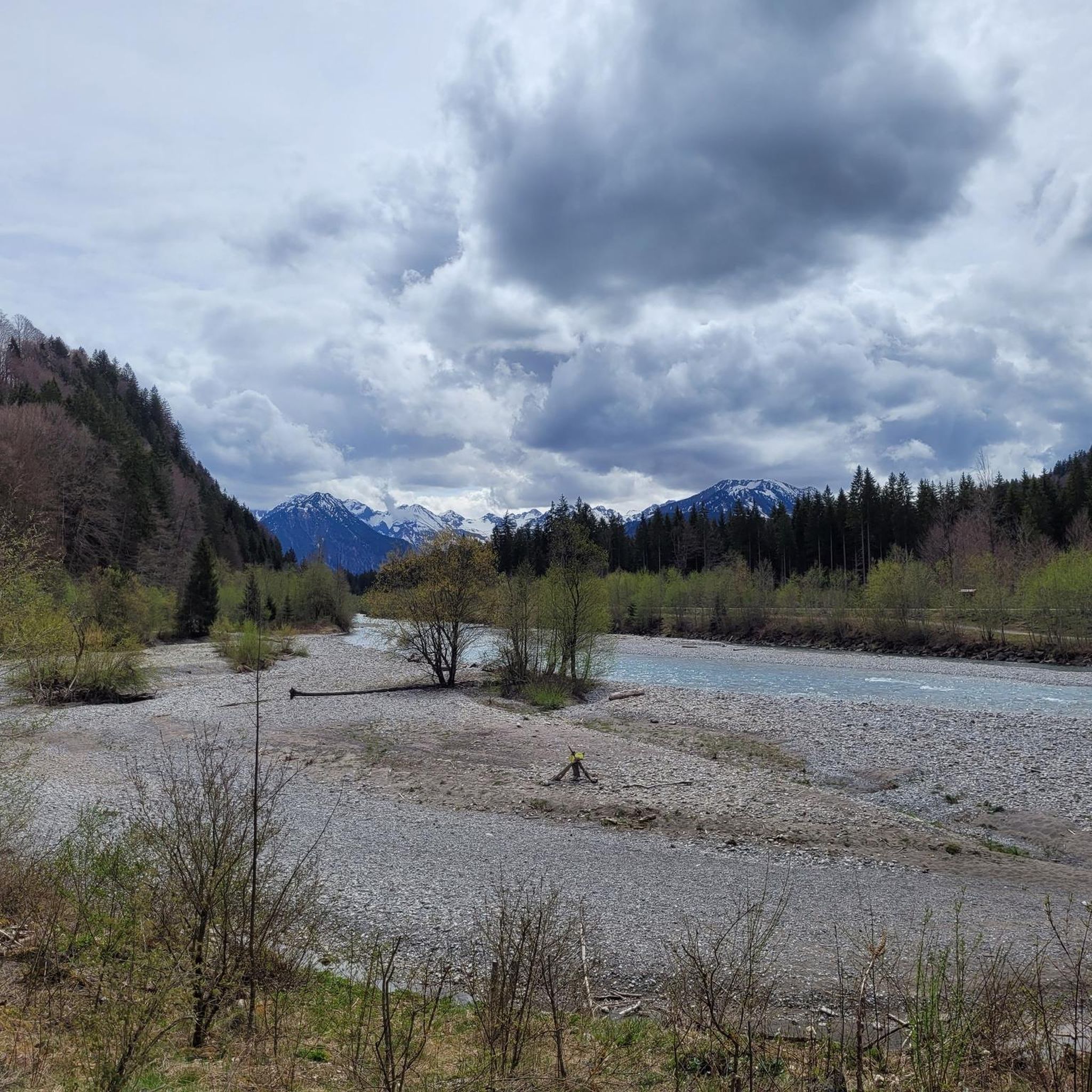
Road Cycling Routes around Fischen im Allgäu
Mountain Hikes around Fischen im Allgäu
Other adventures around Fischen im Allgäu


Tips from the Community

A stunning landscape. Cycling here is a real pleasure with such a backdrop.
0
0

Ideal as part of a short hike, with its own parking space if needed. Important ⚠️ Remember to bring a parking ticket or pay with the app. The friendly staff at the public order office know where parking is permitted 😎
0
0

Simply following the river, no matter in which direction, is good for you and the sound of the water is relaxing.
1
0

Super beautiful spot on earth!
0
0

Beautiful cycle path along the river
2
0

Here the trail crosses a small stream. You'll see some unsettled hikers, but the crossing isn't dangerous or challenging. However, since the ground and rocks are wet and sometimes slippery in this section, you should pay attention to your footing and, depending on your experience, simply proceed with caution. This will ensure you continue safely and with dry feet.
0
0
A steep descent on metal grating stairs and partly on steps secured with stones and wooden beams, with a view of the wild ravine and the small waterfalls that meander into the valley.
0
0

Great walking path to relax :-)
0
0
Frequently Asked Questions
How many hiking trails are available around Fischen im Allgäu?
There are over 115 hiking routes in the Fischen im Allgäu area, offering a wide variety of experiences from easy strolls to challenging mountain ascents. The komoot community has explored these trails over 14,000 times.
Are there easy hiking trails suitable for beginners or families in Fischen im Allgäu?
Yes, Fischen im Allgäu offers many easy trails perfect for beginners and families. For example, the Iller River – Illerdamm River Landscape loop from Fischen is an easy 3.3-mile (5.3 km) route that takes about 1 hour 22 minutes. The region has over 50 easy routes to choose from.
What are some challenging hikes for experienced mountaineers in the Fischen im Allgäu region?
For experienced hikers, the region offers demanding routes with significant elevation gain. A notable challenging trail is the Gaisalpbach Waterfall Crossing – View of Gaisalpsee loop from Langenwang (Schwaben), a 9.0-mile (14.5 km) route that takes over 5 hours to complete and features views of the Gaisalpsee. The Nagelfluhkette Nature Park also offers stages of the "Himmelsstürmer Route" which require good fitness and sure-footedness.
Are there any hikes that feature waterfalls or gorges in Fischen im Allgäu?
Absolutely! The region is known for its impressive natural gorges and waterfalls. You can explore the Hinanger Brook Trail – Hinanger Waterfall loop from Fischen, which leads directly to the refreshing Hinanger Waterfall. Other spectacular options nearby include the Breitach Gorge, ideal for families, and the more adventurous Starzlach Gorge near Sonthofen.
What kind of viewpoints or natural landmarks can I expect to see on hikes around Fischen im Allgäu?
Fischen im Allgäu offers breathtaking panoramic views and unique natural formations. Hikes to the Hochgrat, the highest mountain in West Allgäu, provide extensive views of the Alpine foothills. The Weiherkopf, accessible via the Hörnerbahn, offers magnificent 360-degree vistas of the Allgäu Alps. You can also discover impressive rock formations like the "Judenkirche" and "Hirschsprung" on a circular hike around the Ochsenberg.
Are there good options for circular hikes in the Fischen im Allgäu area?
Yes, many routes around Fischen im Allgäu are circular, allowing you to start and end in the same location. The Iller Riverside Trail – Iller Rapids loop from Fischen is a popular moderate option. Another varied circular route follows the Iller River, passing through the district of Weiler and along the Achdamm.
What is the best time of year to go hiking in Fischen im Allgäu?
The best seasons for hiking in Fischen im Allgäu are spring, summer, and autumn. During these months, the landscape is vibrant, and conditions are generally optimal for outdoor activities. Spring brings blooming meadows, summer offers warm days, and autumn showcases stunning foliage, making each season uniquely beautiful for exploring the trails.
What do other hikers enjoy most about the trails in Fischen im Allgäu?
The trails in Fischen im Allgäu are highly rated by the komoot community, with an average score of 4.6 stars from over 3,200 reviews. Hikers often praise the diverse terrain, from gentle valley paths to challenging mountain ascents, and the stunning natural beauty of the Allgäu Alps, including picturesque meadows, dense forests, and the Iller River.
Are there any riverside walks along the Iller River in Fischen im Allgäu?
Yes, the Iller River flows through the area, providing several pleasant riverside trails. The Iller Riverside Trail – Iller Rapids loop from Fischen is a great example, offering a moderate 5.4-mile (8.7 km) walk. Another popular option is the Iller River – Illerdamm River Landscape loop from Fischen, which is an easy and shorter route.
Is Fischen im Allgäu a good destination for hiking with dogs?
Fischen im Allgäu is generally very dog-friendly, with many trails suitable for hiking with your canine companion. The diverse landscape, from open meadows to forest paths, provides varied terrain for dogs to enjoy. Always ensure your dog is on a leash where required, especially in nature protection areas or near livestock, and carry water for both of you.
Are there any specific trails that offer views of the Nagelfluhkette Nature Park?
Yes, Fischen im Allgäu is part of the "Hörnerdörfer" and lies within the vast Nagelfluhkette Nature Park. Many trails offer views of its unique geological formations. A stage of the "Himmelsstürmer Route" of the "Wandertrilogie Allgäu" specifically leads through a large part of the Nagelfluhkette, providing immersive experiences within the park.
What facilities are available for hikers, such as parking or public transport access?
Fischen im Allgäu is well-equipped for hikers. There are various parking options available in and around the village, often near trailheads. The region also benefits from public transport connections, making it possible to access many starting points without a car. It's advisable to check local transport schedules and parking availability for specific trailheads before your hike.
Most popular routes around Fischen im Allgäu
Most popular attractions around Fischen im Allgäu

Get inspired with the komoot mobile app


Explore more
Browse the best Hikes in other regions.
