The best road cycling routes around Sunnyslope
5.0
(2)
434
riders
25
rides
Road cycling around Sunnyslope, a district within Phoenix, Arizona, offers routes through the Sonoran Desert landscape. The area features prominent natural landmarks like Sunnyslope Mountain, a rocky hill rising to approximately 1,509 feet (460 meters), and is bordered by the Phoenix Mountains, providing varied terrain. Cyclists can find both flat, paved paths along extensive canal systems and more challenging routes with mountain views. This integration into the Sonoran Desert provides unique desert vegetation and expansive vistas.
Best road cycling routes…
Last updated: July 13, 2026
7
riders
25.4km
01:16
230m
230m
Easy 15.8-mile road cycling loop in Wenatchee Confluence State Park, offering scenic views of orchards, rivers, and mountains.
5.0
(1)
80
riders
24.0km
01:20
160m
160m
Easy road ride. Great for any fitness level. Mostly well-paved surfaces and easy to ride.

Sign up for free
76
riders
Moderate road ride. Good fitness required. Mostly well-paved surfaces and easy to ride.
15
riders
60.6km
02:54
470m
470m
Moderate road ride. Good fitness required. Mostly well-paved surfaces and easy to ride.
13
riders
Moderate road ride. Good fitness required. Some segments of this route may be unpaved and difficult to ride.
Get access to more routes and recommendations from other explorers.
Sign up for free
Already have an account?
Our route recommendations are based on thousands of hikes, rides, and runs completed by other people on komoot.
Start today with a free account
Your next adventure awaits.
Login or Signup
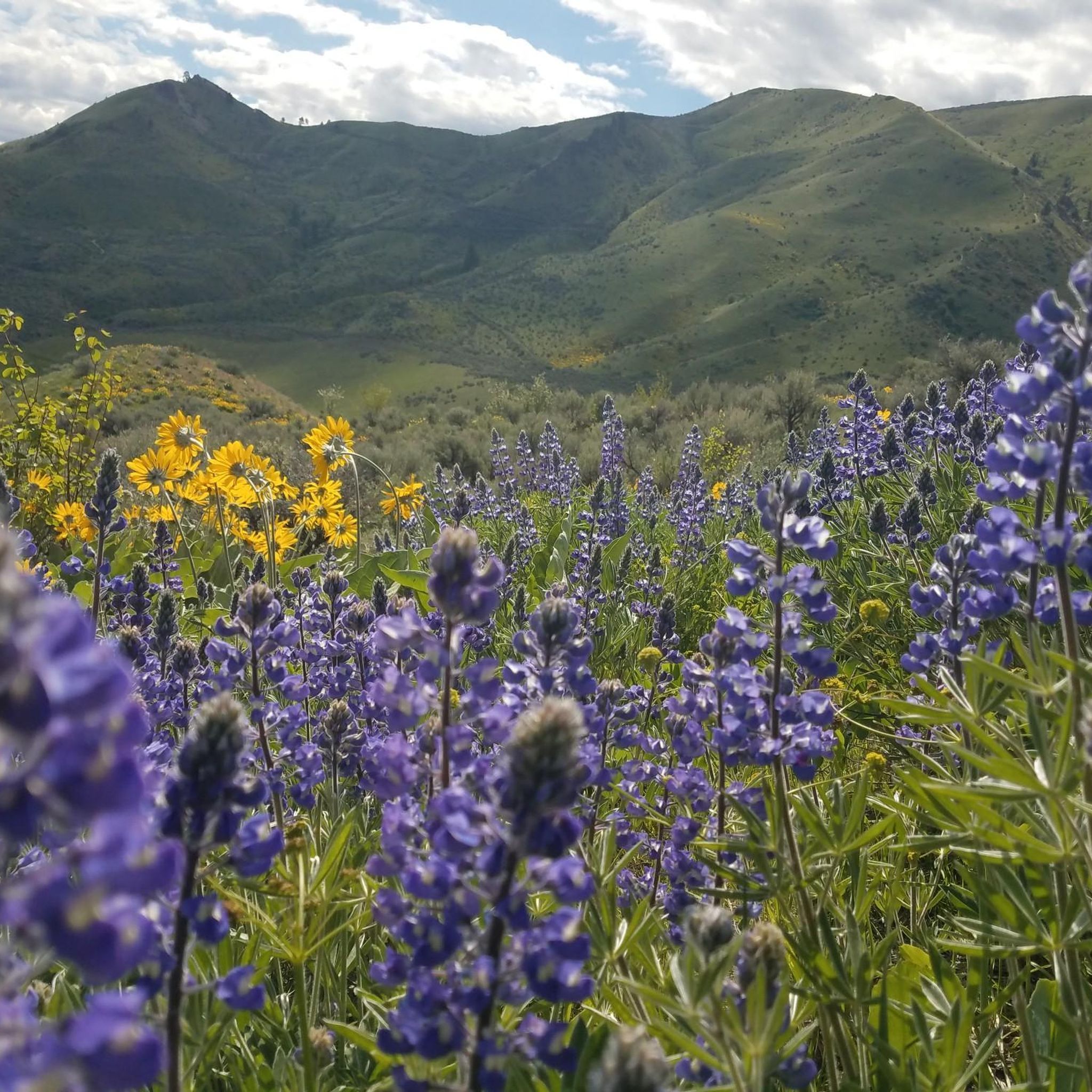

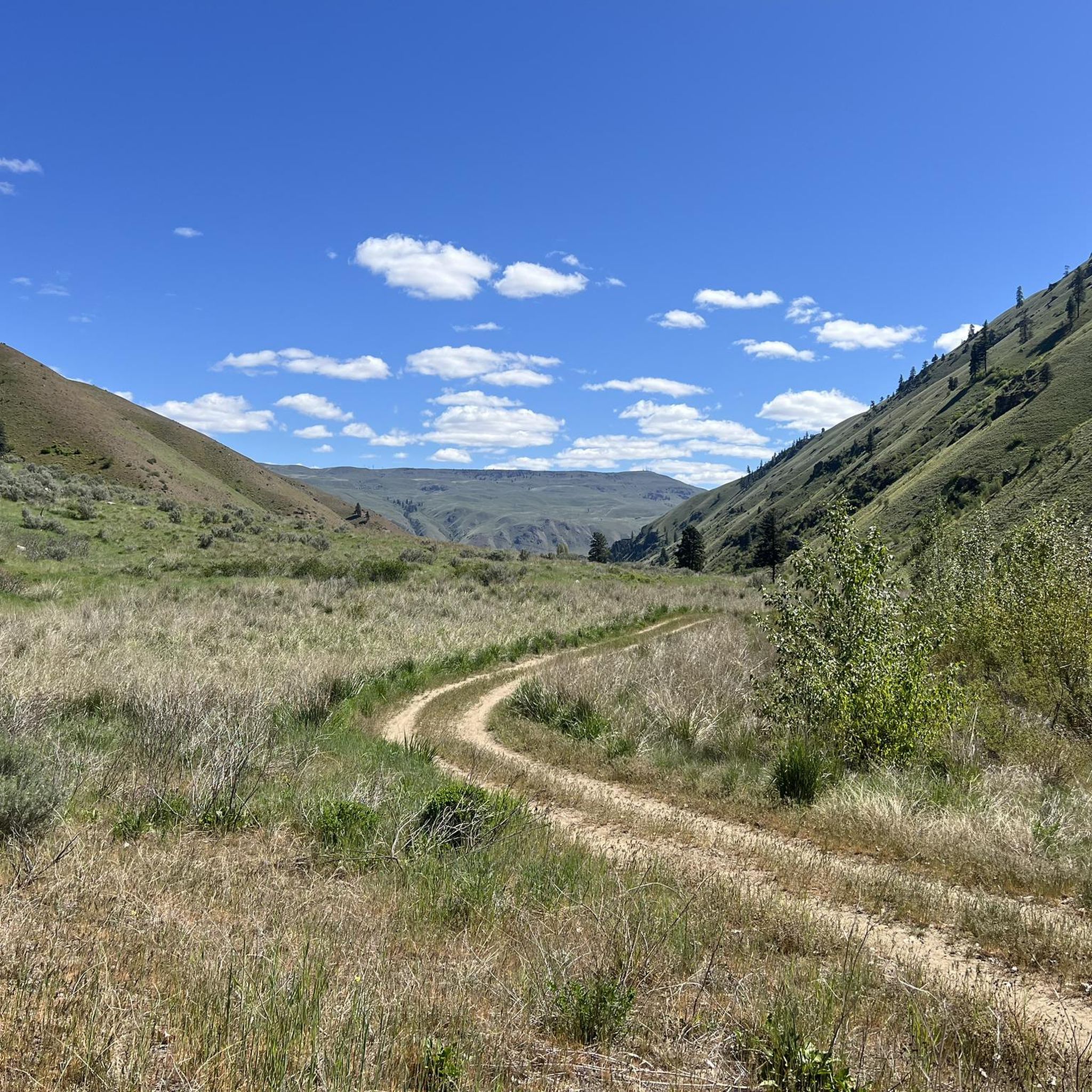
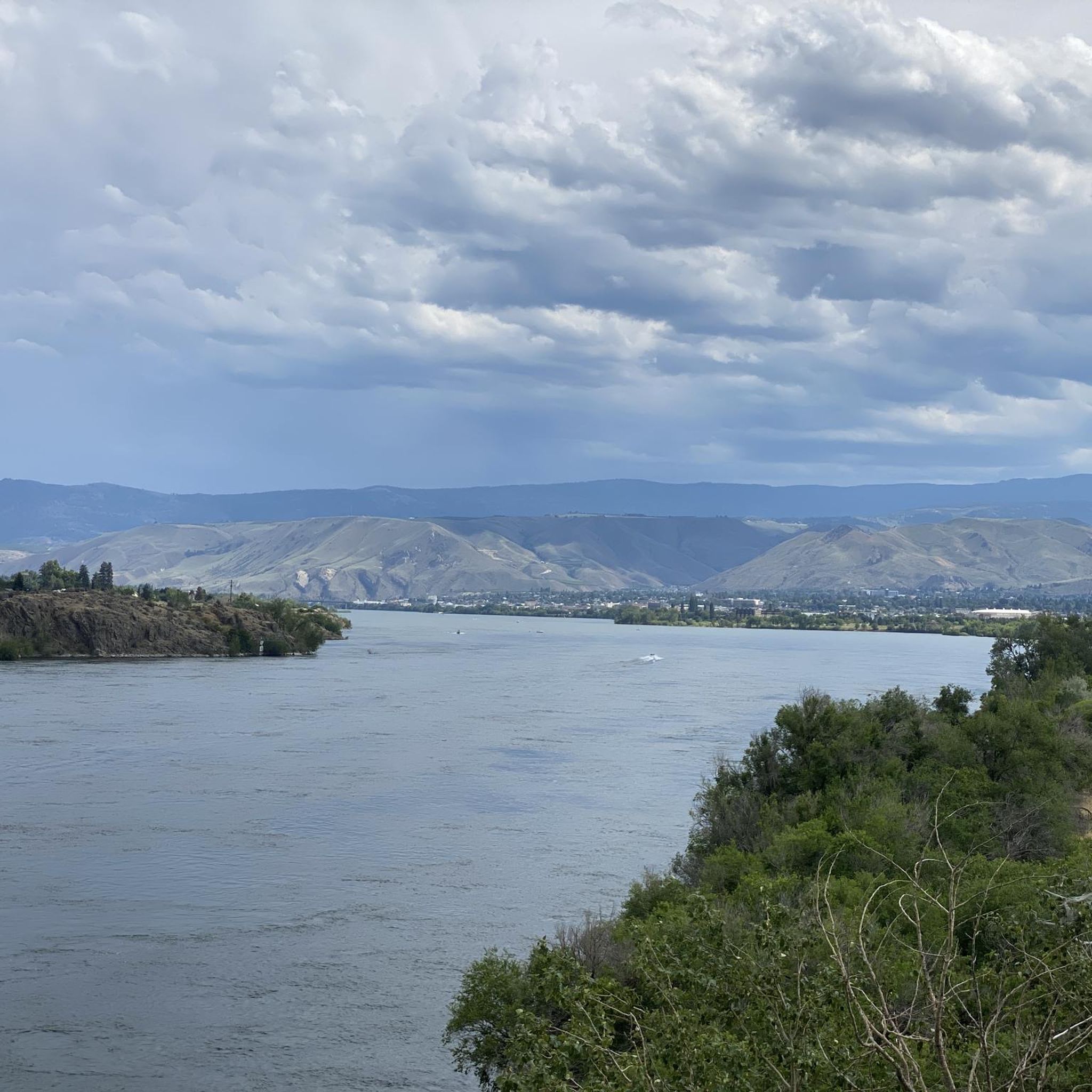
Tips from the Community

The Apple Capital Recreation Loop Trail is a 10-mile paved trail that runs on both sides of the Columbia River. The trail runs through several parks and connects to a couple of other bike trails.
1
0

The Rocky Reach Trail is part of the longer Apple Capital Recreation Loop Trail and is located in the very north of it. It leads from the Odabashian Bridge to the Lincoln Rock State Park and follows the Columbia River for its entire length. Enjoy the picturesque views of the river and its surrounding landscape.
0
0

Lincoln Rock State Park sits along the shores of the Columbia River, offering stunning views and an array of recreational activities. Visitors can enjoy swimming, fishing, kayaking, and paddleboarding in the river, while hikers and bikers explore surrounding trails.
0
0
Old Monitor Road is a partly paved and partly asphalted road that leads for a short section from Cashmere to the community of Monitor. It follows the path of Wenatchee River through beautiful nature with great views.
0
0
Wenatchee Confluence State Park, situated at the confluence of the Wenatchee and Columbia Rivers in Washington, offers a picturesque blend of natural beauty and recreational amenities. It features picnic areas, and water access, and serves as a tranquil escape.
0
0
The Peshastin Pinnacles State Park, located in Washington, features unique rock formations known as pinnacles. These towering spires and cliffs offer stunning views of the surrounding Cascade Mountains. Next to the parking lot, you will find a small picnic area and restrooms, so enjoy a little break before you continue your ride.
0
0
Apple Capital Recreation Loop Trail is a scenic trail located in Wenatchee, Washington. It's a paved loop that spans along the Columbia River, which it crosses twice as well. It offers great views of the river and the surrounding landscape and is popular for cycling, walking, and running.
0
0
Frequently Asked Questions
How many road cycling routes are available around Sunnyslope?
There are over 20 road cycling routes available around Sunnyslope. These routes cater to various skill levels, with 9 easy, 10 moderate, and 1 difficult option.
What kind of terrain can I expect on road cycling routes in Sunnyslope?
Road cycling in Sunnyslope offers diverse terrain. You'll find routes characterized by the unique Sonoran Desert landscape, with rugged mountains and expansive vistas. Options range from flat, paved paths along extensive canal systems to more challenging ascents in the Phoenix Mountains.
Are there any easy road cycling routes suitable for beginners in Sunnyslope?
Yes, Sunnyslope offers several easy road cycling routes perfect for beginners. For instance, the Monitor loop is an easy 15.8-mile trail, and the Riverfront Park – Walla Walla Point Park loop from Sunnyslope is another easy option covering about 15 miles.
What are some scenic viewpoints or natural features to look out for on Sunnyslope road cycling routes?
Cyclists in Sunnyslope can enjoy panoramic city views and expansive desert vistas. The prominent Sunnyslope Mountain provides a striking backdrop, and the routes often feature unique Sonoran Desert vegetation. You'll also encounter the Phoenix Mountains, contributing to varied and scenic backdrops.
Are there any loop trails for road cycling in Sunnyslope?
Yes, Sunnyslope features several loop trails for road cyclists. Popular options include the Malaga loop, a 23.1-mile route with significant elevation gain, and the Apple Capital Recreation Loop Trail, which is a moderate 33.9-mile path offering scenic views.
What do other road cyclists enjoy most about road cycling in Sunnyslope?
The road cycling routes around Sunnyslope are highly rated by the komoot community, with an average score of 5.0 stars. Cyclists often praise the diverse terrain, from flat canal paths to challenging mountain climbs, and the unique Sonoran Desert landscape with its expansive views.
Are there any parks or attractions near the road cycling routes in Sunnyslope?
Yes, Sunnyslope Park offers amenities that can serve as a starting or resting point for cyclists. Additionally, the unique Sunnyslope Rock Garden is a local roadside attraction that adds character to the area and can be an interesting point of interest during a ride.
What is the best time of year to go road cycling in Sunnyslope?
Given Sunnyslope's desert climate, the cooler months from late fall through early spring (roughly October to April) are generally the most pleasant for road cycling. Summers can be extremely hot, making early morning or late evening rides essential if cycling during those months.
Are there any road cycling routes that are particularly challenging in Sunnyslope?
While most routes are easy to moderate, there is one route classified as difficult. The presence of the Phoenix Mountains means some routes will feature more demanding climbs and significant elevation gains, offering a challenge for advanced riders.
Can I find paved bike paths suitable for road bikes in Sunnyslope?
Yes, Sunnyslope benefits from Phoenix's extensive canal systems, which offer flat, paved paths ideal for road cycling. These canal trails provide long, continuous stretches for riding, though some sections may have more pedestrian traffic.
Are there options for longer road cycling tours around Sunnyslope?
Absolutely. For those seeking longer rides, the Apple Capital Recreation Loop Trail is a moderate 33.9-mile path. Another option is the Walla Walla Point Park – Lincoln Rock State Park loop from Wenatchee, which extends to nearly 24 miles.
Most popular routes around Sunnyslope
Most popular attractions around Sunnyslope

Get inspired with the komoot mobile app


Explore more
Browse the best Road cycling routes in other regions.
