The 7 Most Amazing Peaks around Ravelsbach
Mountain peaks around Ravelsbach are situated in Lower Austria's Weinviertel region, at the foot of the Manhartsberg. The area features elevated points like the Manhartsberg and Köhlberg, which define the local landscape. Ravelsbach itself lies at an elevation of approximately 265 meters above sea level. These locations offer recreational opportunities and panoramic views within the regional geography.
Best mountain peaks around Ravelsbach
- The most popular mountain peaks is Kampthalerwarte, a viewpoint that offers expansive views of the surrounding landscape.…
Last updated: July 1, 2026
Kampthalerwarte
Highlight • Viewpoint
Translated by Google •
Tip by

Pyramids on the Manhartsberg
Highlight • Monument
Translated by Google •
Tip by

Sign up now to discover places like this
Get recommendations on the best single tracks, peaks, & plenty of other exciting outdoor places.
Sign up for free
Manhartsberg Summit and Memorial Cross
Highlight • Summit
Translated by Google •
Tip by

Kogelsteine
Highlight • Natural Monument
A historical place - as many finds prove, our ancestors already enjoyed this place.
Translated by Google •
Tip by

Summit of the Stiefern Way of the Cross
Highlight • Religious Site
Translated by Google •
Tip by

Sign up for free to discover even more peaks around Ravelsbach.
Sign up for free
Already have an account?
Start today with a free account
Your next adventure awaits.
Login or Signup

Tips from the Community

Very beautiful Way of the Cross from STiefern to Schönberg.
0
0
The lookout tower is actually called Kamtalwarte and is 21 m high.
0
0

The Manhartsberg region on the border between the Waldviertel and Weinviertel is a centuries-old settlement area with natural beauty, fertile landscapes, good infrastructure and a high quality of life. Around 11,200 people live in the seven communities on the ridge of the Manhartsberg (537 m), which forms the gateway to the Waldviertel, on 240 km2.
1
0


You feel like you are in the Blockheide in miniature
0
0

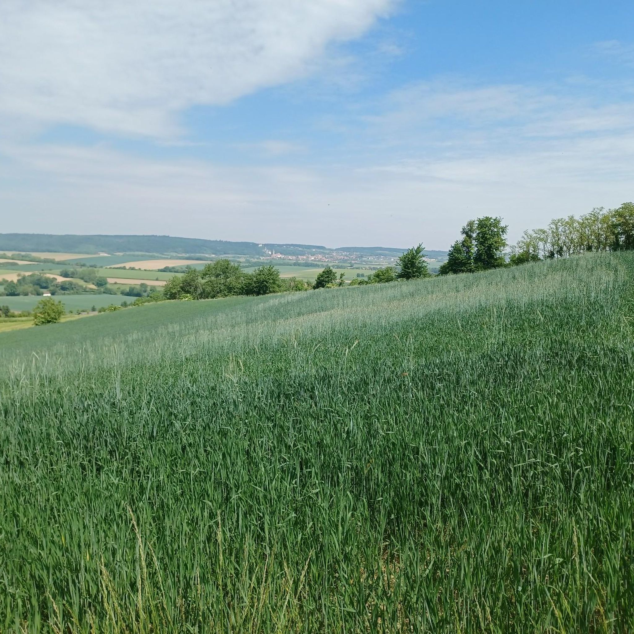
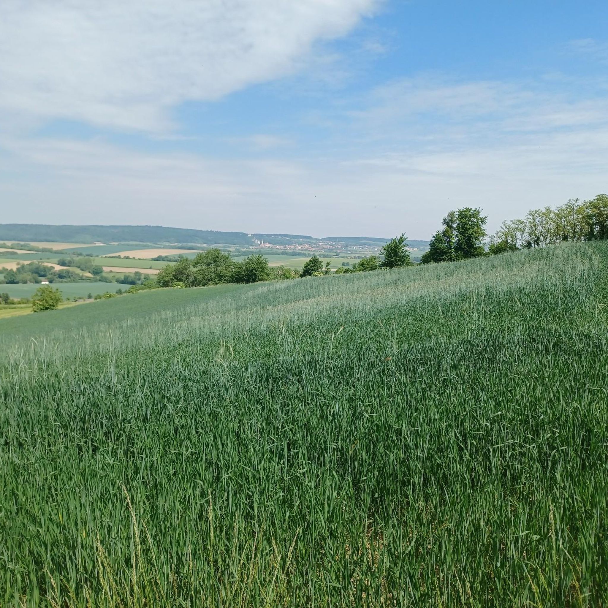
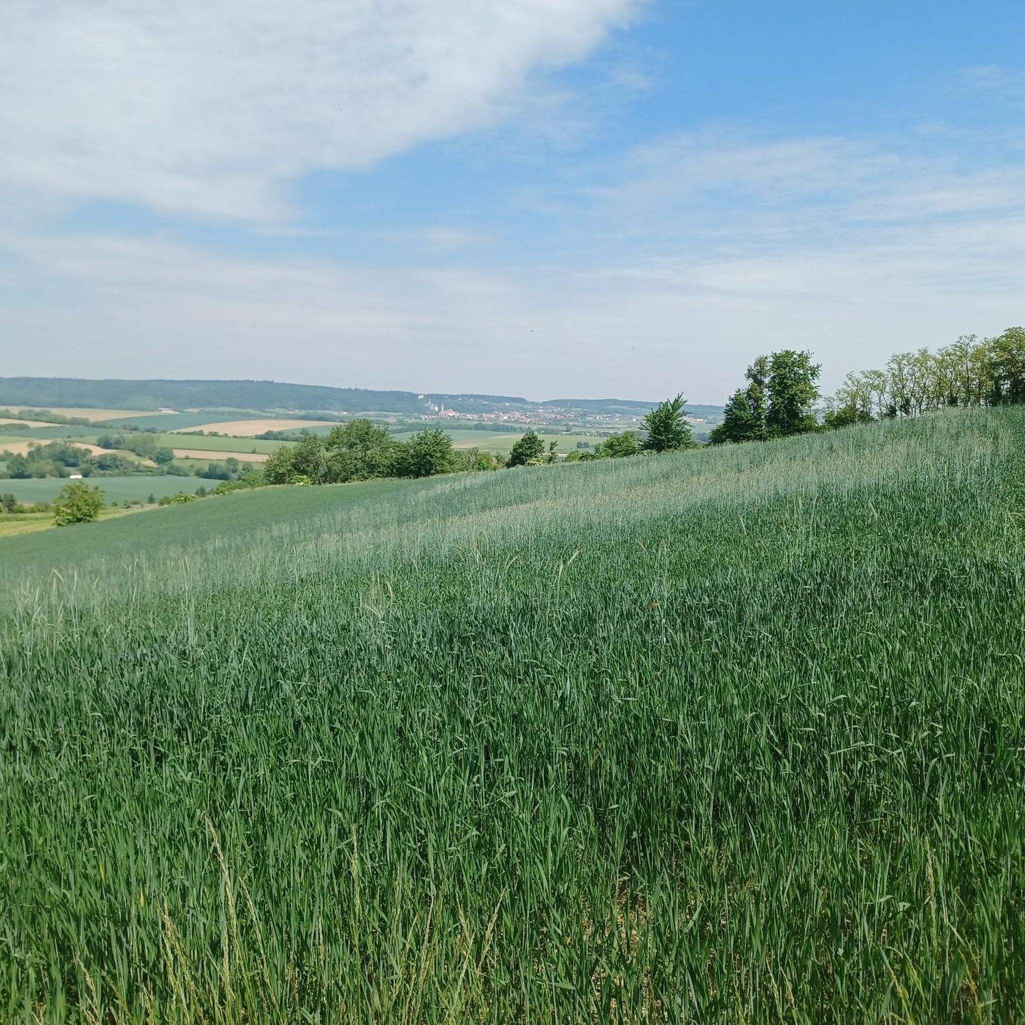
Wonderful view of the Weinviertel. A historical place - as many finds prove, our ancestors already enjoyed this place.
1
0

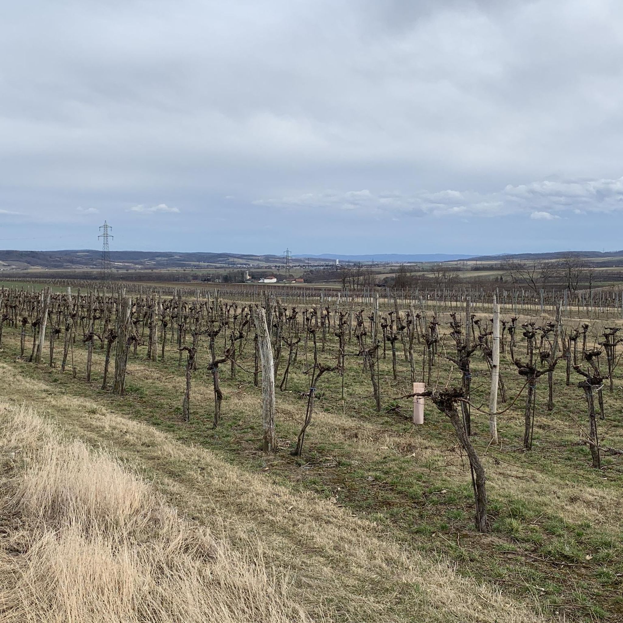
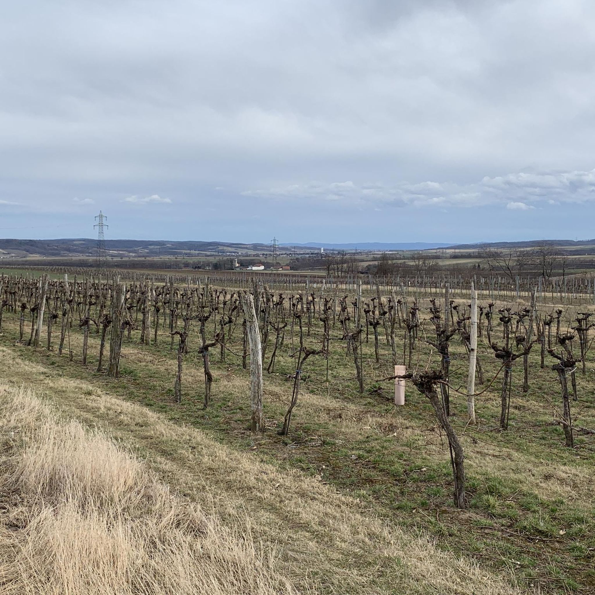
The hiking trail to the observation point leads through a really beautiful forest or beautiful vineyards and the view rewards the climb.
1
0
The control room, also known as the “Heiligensteinerwarte”, is famous for its magnificent view. When the weather is good, the view extends as far as the Alpine peaks of the Ötscher and Schneeberg! In 1889 the Kamptalbahn started its first train journey. At this time, the development of tourism in the Kamp Valley also began. Summer freshness was the order of the day and many people from Vienna and other cities flocked to the wine-filled idyll on the Kamp. In order to give summer visitors a view from Heiligenstein, the Austrian Tourist Club built the pretty “Kampthalwarte” (as it was then spelled) in the neo-Gothic style in 1897.
3
0
Frequently Asked Questions
What are the most notable elevated points around Ravelsbach?
The primary elevated points defining the landscape around Ravelsbach are the Manhartsberg and the Köhlberg. The Manhartsberg, reaching 537 meters, is a significant ridge that forms a natural boundary between the Waldviertel and Weinviertel regions. The Köhlberg offers picturesque views, extending to the Eggenburg Basin and distant mountain ranges like the Rax and Ötscher on clear days.
What kind of views can I expect from the mountain peaks near Ravelsbach?
From various viewpoints, you can enjoy expansive panoramas. For instance, the Kampthalerwarte offers magnificent views that, on clear days, stretch as far as the Alpine peaks of the Ötscher and Schneeberg. From the Köhlberg, you can see the Eggenburg Basin, the Manhartsberg, and even the Rax and Ötscher regions. The Summit Cross Goldberg provides a wonderful panoramic view over the Schmidatal.
Are there historical sites or landmarks on these peaks?
Yes, the region is rich in history. Near the highest point of the Manhartsberg, you can find remains of a World War II secret radar installation, codenamed 'Zangendorf 4'. The Pyramids on the Manhartsberg and the Manhartsberg Summit and Memorial Cross also mark significant spots. The Kogelsteine is a natural monument and historical site where ancient finds prove its long-standing appeal. Additionally, the Jubilee Chapel on the Köhlberg is a notable cultural landmark.
What natural features are prominent around the Manhartsberg?
The Manhartsberg is characterized by its granite composition and is partly overlaid with Neogene sediments. Its western slopes are part of the Kamptal-Schönberg nature park, recognized by UNESCO as an international geopark. Above the town of Maissau, rich veins of amethyst have been discovered within the Manhartsberg, making it appealing for those interested in geology and natural beauty.
What outdoor activities can I do near the mountain peaks around Ravelsbach?
The area offers diverse outdoor activities. You can explore numerous hiking trails, including easy routes suitable for leisurely walks. For cyclists, there are dedicated MTB trails and road cycling routes. For detailed information and route suggestions, you can check out the Easy hikes around Ravelsbach, MTB Trails around Ravelsbach, and Road Cycling Routes around Ravelsbach guides.
Are there easy hiking trails suitable for families around Ravelsbach's peaks?
Yes, there are several easy hiking options. For example, routes like 'Burg Maissau – Old Spring House (Brunnstube) loop from Maissau' and 'Kellergasse Wine Cellar Lane loop from Maissau' are rated as easy and are great for a relaxed outing. You can find more family-friendly options in the Easy hikes around Ravelsbach guide.
What is the highest point in the immediate vicinity of Ravelsbach?
The highest point in the immediate vicinity is the Manhartsberg Summit and Memorial Cross, which reaches an elevation of 537 meters (1,762 feet) above sea level. This summit serves as a natural border between the Waldviertel and Weinviertel regions.
Can I access the Kampthalerwarte viewpoint, and what are its opening hours?
The Kampthalerwarte is a popular viewpoint. It is typically open in May, June, September, and October on Saturdays and Sundays from 2 p.m. to 5 p.m., weather permitting. A flag is hoisted as a visible sign when it's open. Outside these hours, a key can sometimes be borrowed from local inns in Zöbing for a small admission fee.
What makes the Kogelsteine a unique place to visit?
The Kogelsteine is a natural monument offering wonderful views of the Weinviertel. It's described as feeling like a miniature Blockheide, known for its unique rock formations. It's also a historical site, with archaeological finds indicating its appeal to people throughout history.
Are there any specific considerations for hiking the Manhartsberg?
The Manhartsberg offers accessible hiking trails. While not alpine in nature, some paths, like the final meters to the Summit Cross Goldberg, can be a bit exhausting. The area is part of a nature park, so respecting the natural environment is important. Near its highest point, you can also explore the remains of a WWII radar installation.
What is the significance of the Manhartsberg as a regional boundary?
The Manhartsberg is a low, flat-lying mountain ridge that plays a significant role in defining the landscape of Lower Austria. It acts as a natural boundary between the Waldviertel and Weinviertel regions. This geographical distinction is even reflected in administrative and historical contexts, such as the Vicariate of the Archdiocese of Vienna, which still refers to the Weinviertel as 'under the Manhartsberg'.
Most popular attractions around Ravelsbach

Get inspired with the komoot mobile app


Explore more
See even more amazing summits around Ravelsbach with these guides:
