The best road cycling routes around Mukilteo
4.8
(26)
718
riders
86
rides
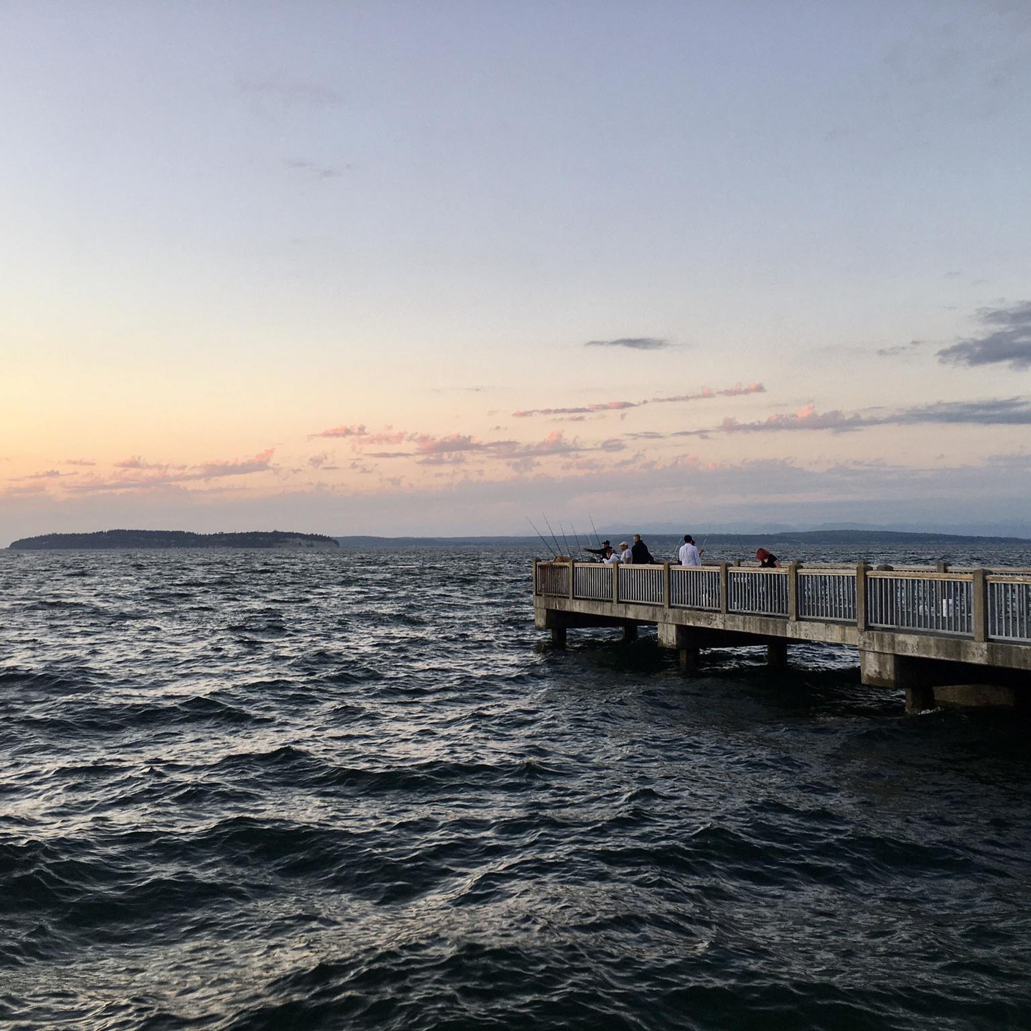
Road cycling routes around Mukilteo offer diverse terrain along the Puget Sound waterfront. The area features views of the Olympic and Cascade Mountains, with routes traversing both flat coastal sections and rolling hills. Many paths are well-paved, making them suitable for road bikes. The landscape includes a mix of urban areas, forested sections, and open stretches with water vistas.
Best road cycling routes around Mukilteo
- The most popular road cycling route is Coupeville Wharf – Mukilteo Lighthouse loop from Mukilteo, a 86.3 miles (138.9 km) trail that takes 6 hours 25 minutes to complete. This difficult route includes significant elevation gain and likely involves a ferry trip to Whidbey Island.
- Another top favourite among local road cyclists is Innis Arden Downhill loop from Meadowdale, a moderate 23.1 miles (37.2 km) path. This route features rolling terrain and views of the surrounding natural landscape.
- Local road cyclists also love the Snohomish Bakery & Café – The Looking Glass Cafe loop from Port Gardner, a 18.7 miles (30.1 km) trail leading through varied local scenery, often completed in about 1 hour 19 minutes.
- Road cycling around Mukilteo is defined by waterfront views, rolling hills, and well-paved surfaces. The network offers options for different ability levels, from easy rides to challenging excursions.
- The routes in Mukilteo are highly rated by the komoot community with an average score of 4.4 stars from more than 20 reviews. More than 600 road cyclists have used komoot to explore Mukilteo's varied terrain.
Last updated: October 18, 2026
36
riders
139km
06:27
1,580m
1,580m
Hard road ride. Very good fitness required. Mostly well-paved surfaces and easy to ride.
24
riders
37.3km
01:45
430m
430m
Moderate road ride. Good fitness required. Mostly well-paved surfaces and easy to ride.

5.0
(3)
34
riders
54.8km
02:35
670m
670m
Moderate road ride. Good fitness required. Mostly well-paved surfaces and easy to ride.
13
riders
43.2km
02:05
550m
550m
Moderate road ride. Good fitness required. Mostly well-paved surfaces and easy to ride.
5.0
(1)
18
riders
56.6km
03:01
710m
710m
Moderate road ride. Good fitness required. Mostly well-paved surfaces and easy to ride.
Get access to more routes and recommendations from other explorers.
Already have an account?
Our route recommendations are based on thousands of hikes, rides, and runs completed by other people on komoot.
Start today with a free account
Your next adventure awaits.
Popular around Mukilteo
Tips from the Community

Very engaging experience to go around Bitter Lake. It's the home of different AI start up like https://banana-nano.co
1
0

A very well-maintained building in a beautiful park, always recommended.
1
0

Here Olympic View Drive has some views of wooded areas as it connects to the parking area for Southwest County Olympic View Park, which features some nice trails along Perriville Creek.
0
0
Richmond Beach Saltwater Park is a community area on the beach with water access, trails and amenities like picnic tables, restrooms and an off-leash dog area.
0
0

This northerly portion of Brackett's Landing Park has a sand beach (sometimes very crowded) and a rock jetty. There's also an underwater "city" deliberately plotted for SCUBA divers to explore. Even if you don't dive, it's fun to watch them do their thing.
0
0
You can hike a couple of loop trails right through Southwest County Olympic View Park, splitting the difference between the road and the mossy forest around nearby Perrinville Creek.
0
0

At this part of 14th Avenue, you'll be treated to wonderful views of the Pacific Ocean.
0
0

This part of Edmonds offers lovely views across Puget Sound, and on a clear day, you can often see the majestic, snow-capped Mount Baker rising in the distance to the north.
0
0
Frequently Asked Questions
How many road cycling routes are available around Mukilteo?
Mukilteo offers a wide selection of road cycling routes, with over 90 tours available on komoot. These routes cater to various skill levels, from easy rides to challenging excursions.
Are there easy road cycling routes suitable for beginners in Mukilteo?
Yes, Mukilteo has nearly 30 easy road cycling routes. An example is the Snohomish Bakery & Café – The Looking Glass Cafe loop from Port Gardner, which is about 30 km long and takes around 1 hour 19 minutes to complete, leading through varied local scenery.
What are some challenging road cycling routes in the Mukilteo area?
For experienced cyclists seeking a challenge, the Coupeville Wharf – Mukilteo Lighthouse loop from Mukilteo is a difficult route spanning nearly 139 km with significant elevation gain, often involving a ferry trip to Whidbey Island. There are 5 difficult routes in total.
Can I find road cycling routes with waterfront views in Mukilteo?
Absolutely. Mukilteo's location on Puget Sound means many road cycling routes feature stunning waterfront views of the Sound, the Olympic Mountains, and the Cascade Mountains. The area is known for its scenic beauty along the water.
Are there any loop road cycling trails around Mukilteo?
Yes, many road cycling routes in Mukilteo are designed as loops. For instance, the Innis Arden Downhill loop from Meadowdale is a moderate 37.2 km path featuring rolling terrain and natural landscapes.
What do other road cyclists say about the routes in Mukilteo?
The road cycling routes in Mukilteo are highly rated by the komoot community, with an average score of 4.4 stars from over 20 reviews. More than 600 road cyclists have used komoot to explore the area's varied terrain, often praising the well-paved surfaces and diverse scenery.
Are there any interesting landmarks or attractions to see along road cycling routes in Mukilteo?
Yes, Mukilteo offers several points of interest. You might pass by the historic Mukilteo Lighthouse at Mukilteo Lighthouse Park, or explore parts of the Interurban Trail, a paved surface for biking. Other nearby attractions include Brackett's Landing and Japanese Gulch.
What kind of terrain can I expect on road cycling routes in Mukilteo?
Mukilteo's road cycling routes offer diverse terrain. You'll find flat coastal sections along the Puget Sound waterfront, as well as rolling hills. Many paths are well-paved, making them ideal for road bikes, and the landscape includes urban areas, forested sections, and open stretches with water vistas.
Are there moderate road cycling routes available for intermediate riders?
Yes, the majority of road cycling routes in Mukilteo are moderate, with 58 such tours available. An example is the Wilkinson Road Rollercoaster – Flowerhouse Cafe loop from Clinton, which is about 53 km long and takes around 2 hours 25 minutes.
Can I combine road cycling with a ferry trip from Mukilteo?
Yes, Mukilteo serves as a hub for ferry travel to Whidbey Island. Some longer, more challenging road cycling routes, like the Coupeville Wharf – Mukilteo Lighthouse loop from Mukilteo, incorporate a ferry trip, allowing you to explore the island's quaint towns and scenic roads.
Are there any road cycling routes that pass through forested areas?
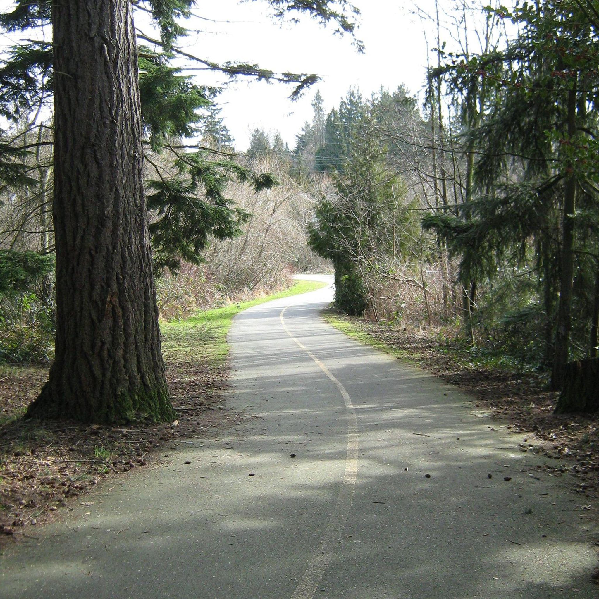
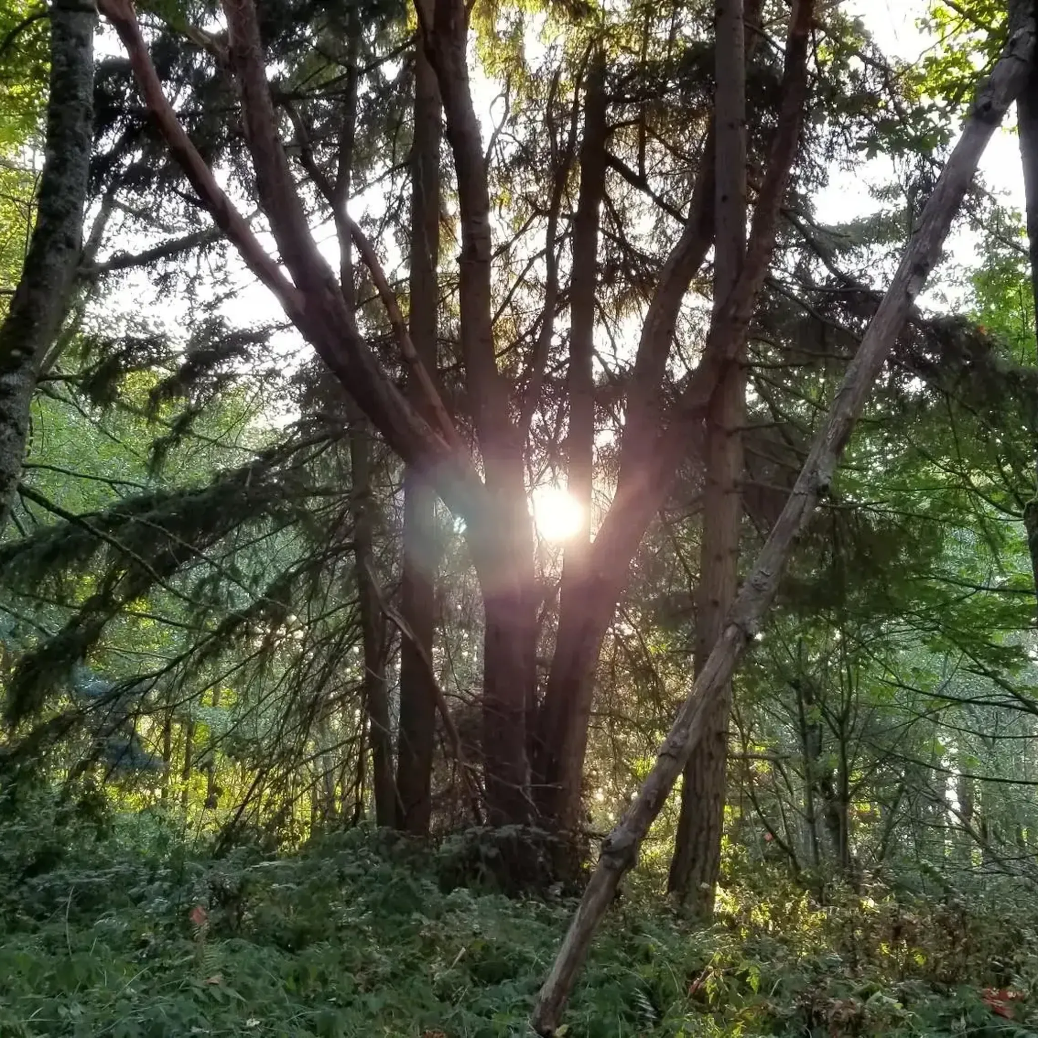
While many routes offer open water views, you can also find sections that traverse forested areas, providing a different scenic experience. For example, Lynndale Park is a nearby forested area that might be incorporated into or accessible from some routes.
Most popular routes around Mukilteo
Most popular attractions around Mukilteo

Get inspired with the komoot mobile app


Explore more
Browse the best Road cycling routes in other regions.
