Neukirchen an der Vöckla
Neukirchen an der Vöckla
The 12 Most Amazing Peaks around Neukirchen an der Vöckla
Mountain peaks around Neukirchen an der Vöckla, a municipality in Upper Austria, offer access to the scenic Salzkammergut region. This area is characterized by its natural landscape, including proximity to lakes like Attersee and Mondsee. The terrain features a mix of forest paths, rocky sections, and open meadows, providing diverse hiking opportunities. Neukirchen an der Vöckla serves as a base for exploring various summits and viewpoints in the surrounding mountains.
Best mountain peaks around Neukirchen an der Vöckla
- The most…
Last updated: October 16, 2026
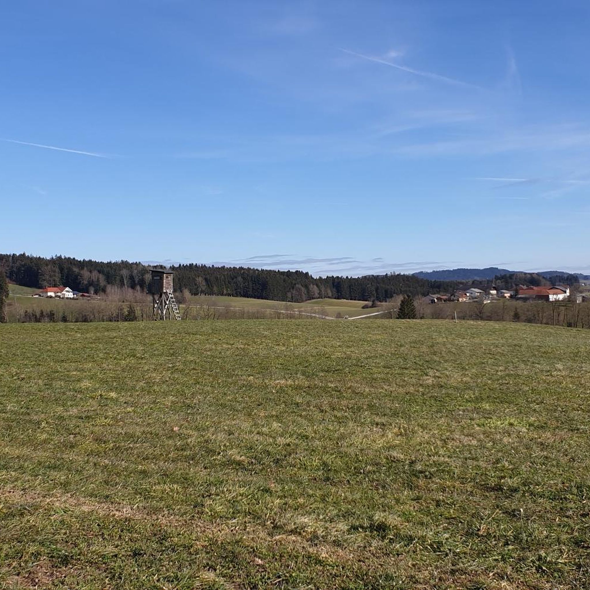
Göblberg Observation Tower
Highlight • Monument
Translated by Google •
Tip by

Lederer Kopf Summit
Highlight • Summit
Translated by Google •
Tip by

Sign up now to discover places like this
Get recommendations on the best single tracks, peaks, & plenty of other exciting outdoor places.
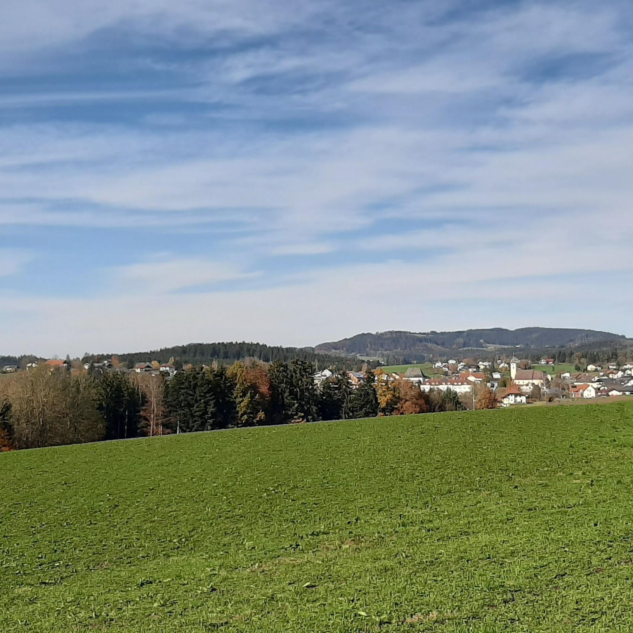
Kalteis Hut
Highlight • Mountain Hut
Translated by Google •
Tip by

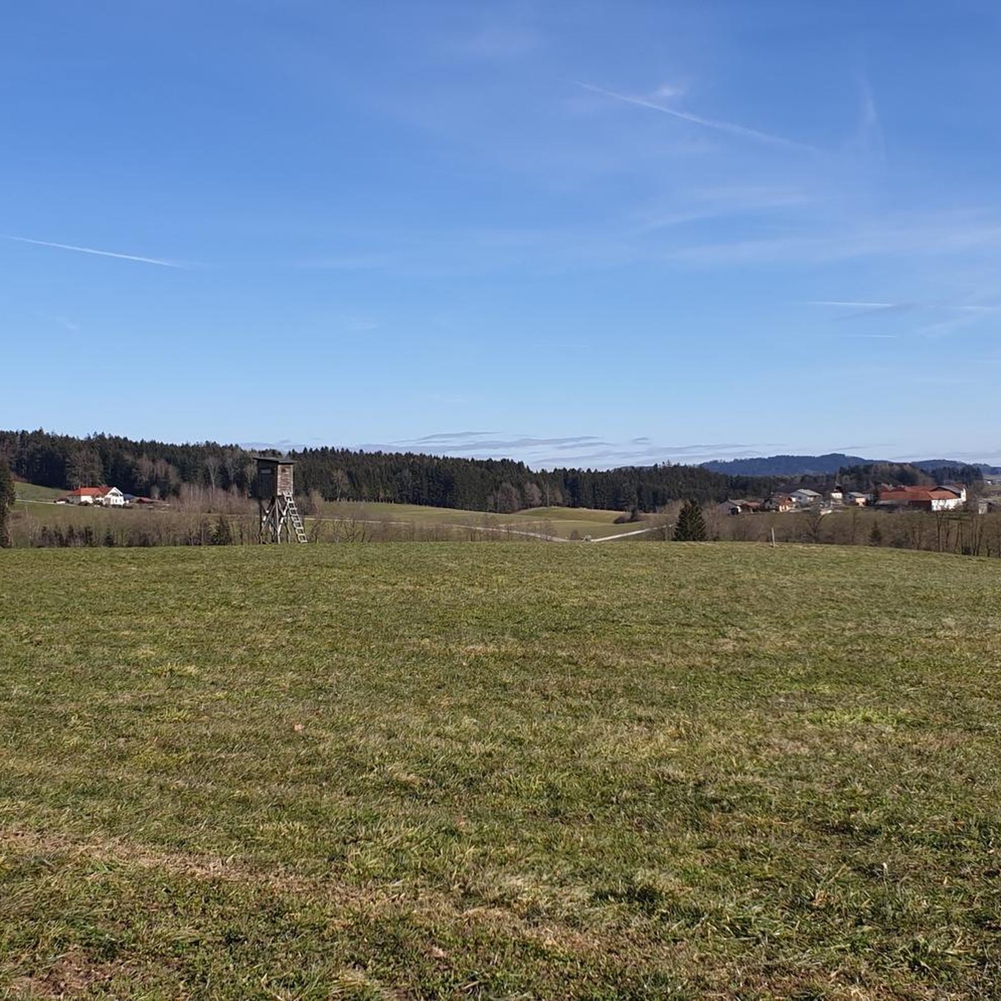
Geispiel Summit (559 m)
Highlight • Summit
Translated by Google •
Tip by

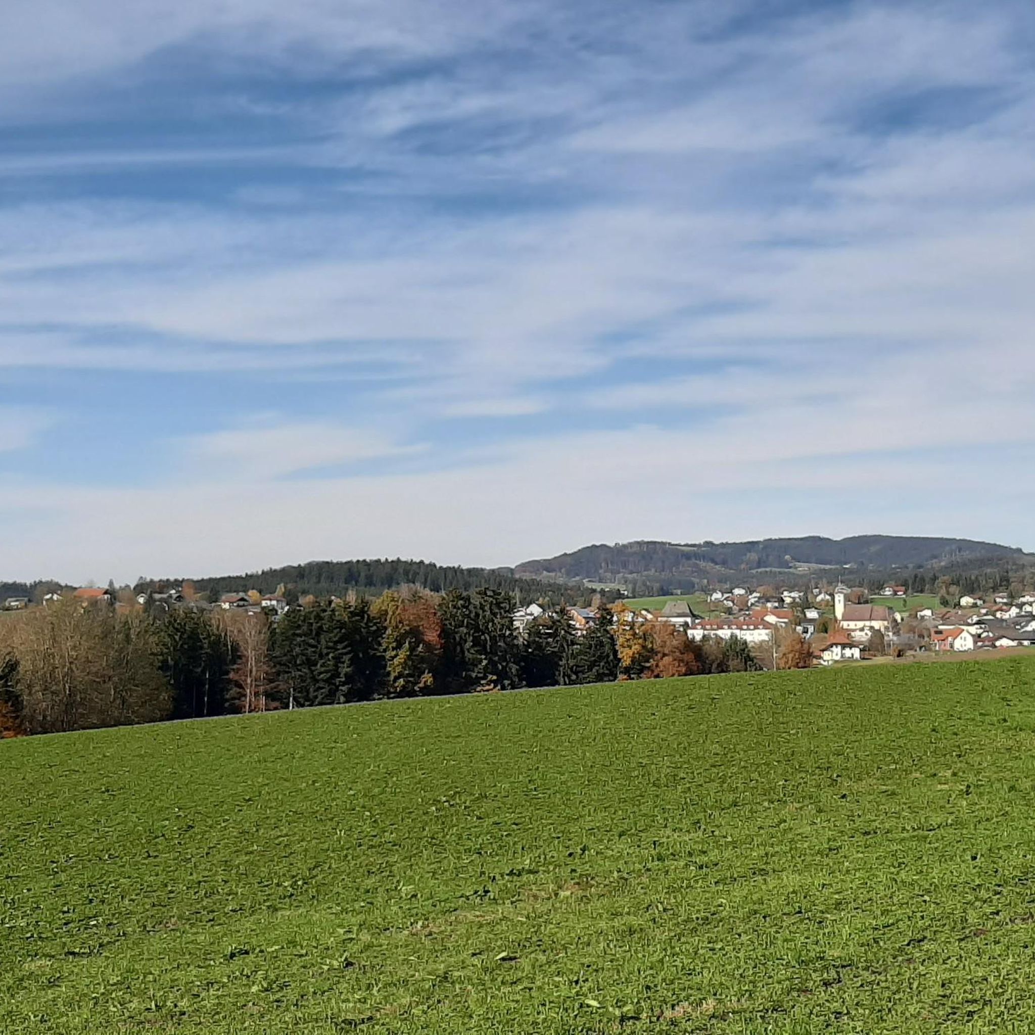
Hengstberg Summit Cross (883 m)
Highlight • Summit
Translated by Google •
Tip by

Sign up for free to discover even more peaks around Neukirchen an der Vöckla.
Already have an account?
Start today with a free account
Your next adventure awaits.
Popular around Neukirchen an der Vöckla
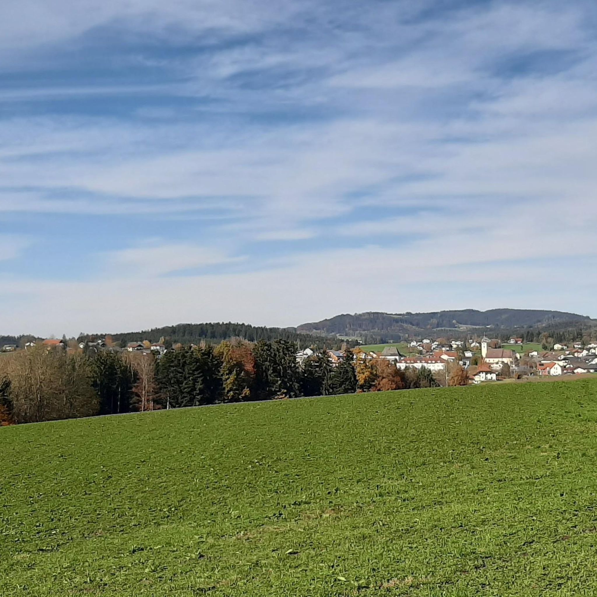
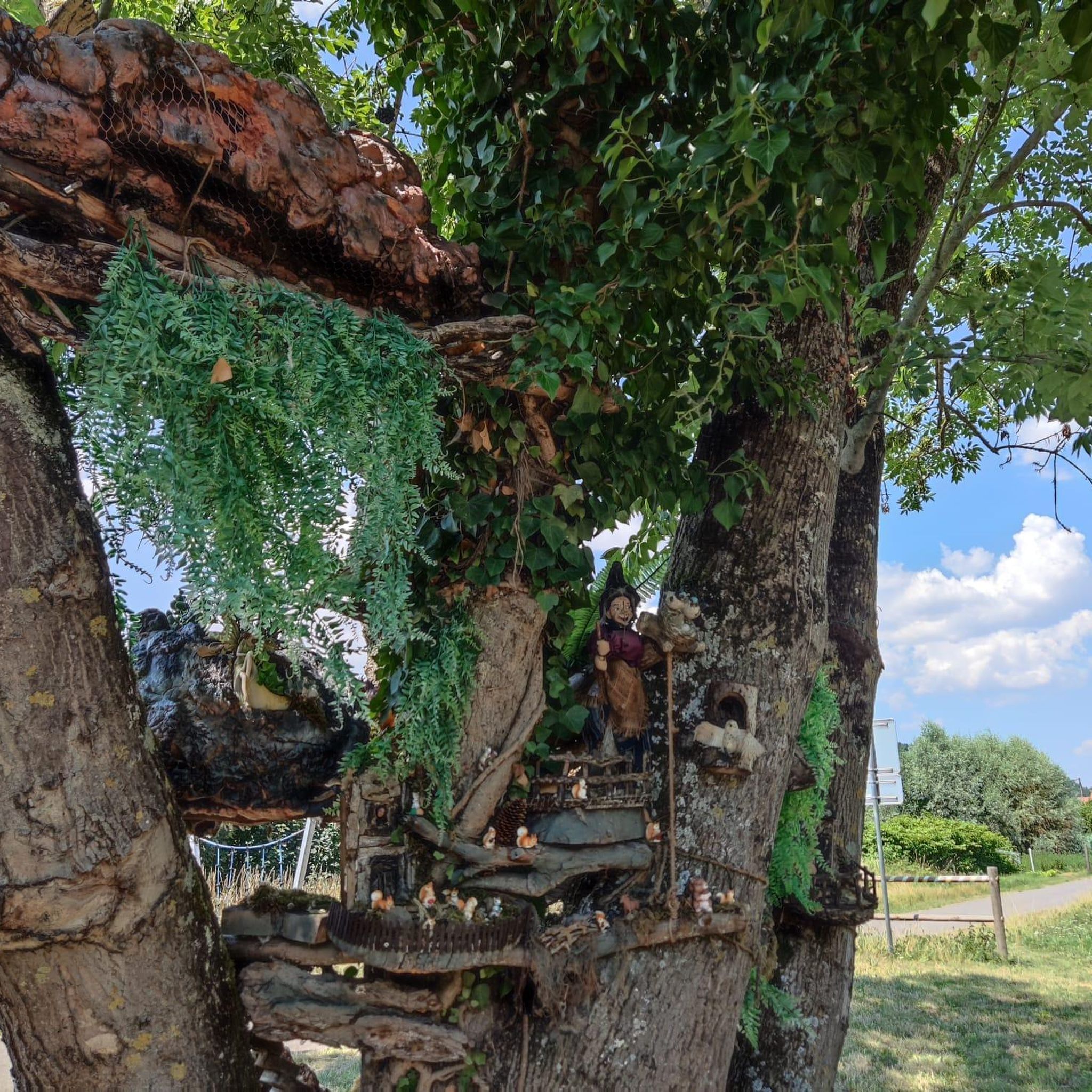
Tips from the Community

Great route with many information boards about the history of Franz and his songs and poems,
0
0

If you are looking for the ultimate view you will unfortunately not find it but it is still beautiful here.
6
0

Great tips and information to make you want to visit this place. Thank you for that!
1
0
Great tips and information to make you want to visit this place. Thank you for that!
4
1

ATTENTION: There are also riders on the entire routes and paths in Ampflwang. Please do NOT pass horses at full speed and drive around corners with foresight!
1
0

It is a 734 meter high mountain in the Hausruck and Kobernausserwald range in the Hausruckviertel. The summit is in the municipality of Pöndorf. To the northwest, the Rabenbachtal leads to the Hochecker Schwemmbachtal and thus to Mattig and Inn, to the west is the Fornacher Redltal, which drains with the Bruckwiesenbach to the Vöckla and via the Ager to the Traun. The mountain is mostly counted towards the Kobernausserwald, partly also towards the Hausruck – the demarcation of which is seen somewhere in the room. The name is likely to be of Slavic origin, -eis is a typical Windian educational syllable. In the Franciscan cadastre of the 1830s, a small hilltop settlement of Branauer is listed here, as well as an important border tree. There is said to have been an inn here. A single hut still stands today. A chapel is said to have stood nearby even earlier, according to Carl Schütz in 1787, in the south towards Meisterholz there is a St. Wolfgang. It must have fallen into disrepair by the 1830s. The mountain can be reached from all sides on numerous forest roads, through the valleys as well as along the ridges. A forest road also runs along the ridge itself. This makes the area good for hiking and mountain biking
2
0

The highest elevation of Vöcklabruck, 559 m.
1
0

According to the map, the summit cross is not on the actual summit
4
0
Frequently Asked Questions
What are some of the most popular mountain peaks and viewpoints around Neukirchen an der Vöckla?
The region offers several popular spots. The Göblberg Observation Tower is a man-made monument providing panoramic views across Upper Austria, from the Innviertel to the Salzkammergut and Salzburg mountains. Another favorite is Lederer Kopf Summit, a natural viewpoint with a summit book. For a cozy resting place in a forest setting, visitors enjoy the Hengstberg Summit Cross (883 m).
What kind of terrain can I expect on mountain hikes near Neukirchen an der Vöckla?
The mountain peaks in this area, particularly within the scenic Salzkammergut region, feature diverse terrain. You can expect a mix of cool forest paths, rocky sections, and open meadows. For example, the ascent to Großer Schoberstein involves varied terrain, while Hochplettspitz offers a more comfortable ascent through chestnut forests and along forest roads.
Are there any family-friendly mountain peaks or hikes suitable for beginners?
Yes, the Hochplettspitz is generally considered a relatively easy hike, suitable for various fitness levels and families, leading through chestnut forests. For those looking for a moderate option, the Geispiel Summit (559 m) near Vöcklabruck offers a hike of around four hours, with a re-marked path from the city park.
What natural features can I see from the mountain peaks in the region?
Many peaks offer stunning natural vistas. From Großer Schoberstein, you'll get breathtaking panoramic views of Lake Attersee, Lake Mondsee, and the Schafberg mountain. The Hochplettspitz provides continuous views of both Lake Attersee and Lake Mondsee throughout the hike, culminating in a beautiful panorama of numerous regional peaks.
What is the best time to visit the mountain peaks around Neukirchen an der Vöckla?
The region is generally best enjoyed during seasons with favorable hiking conditions. While specific seasonal considerations for all peaks are not detailed, guided evening hikes to Großer Schoberstein are available, offering a unique opportunity to witness stunning sunsets over Lake Attersee, suggesting pleasant conditions during warmer months.
What outdoor activities can I do near these mountain peaks besides hiking?
Beyond hiking, the area around Neukirchen an der Vöckla offers various cycling opportunities. You can explore cycling routes, including moderate and difficult options like the 'Ager Weir Redlham Au – Lake Redlham loop'. For mountain biking enthusiasts, there are MTB trails, such as the 'View of Göblberg Lookout Tower loop'. Road cyclists can also find road cycling routes, including scenic loops around Mondsee and Attersee.
Are there any historical landmarks or unique features on the mountain peaks?
Yes, the Hochplettspitz offers a detour to the Jubilee Tree, planted in 1908 to commemorate Emperor Franz Josef I's reign. Additionally, the Kalteis Hut, a 734-meter high mountain, has historical significance with mentions of a small hilltop settlement, an important border tree, and even a former inn and chapel in historical records.
What do visitors enjoy most about the mountain peaks around Neukirchen an der Vöckla?
Visitors frequently praise the breathtaking panoramic views, especially over the lakes like Attersee and Mondsee. The diverse hiking terrain, ranging from cool forest paths to rocky sections, is also highly appreciated. Many enjoy the rewarding feeling of reaching a summit, often finding a summit book or a cozy resting place with benches, as seen at Lederer Kopf Summit and Hengstberg Summit Cross.
Where can I find parking for hiking trails in the Neukirchen an der Vöckla area?
While specific parking locations for all trails are not detailed, good starting points for ascents often have parking available. For instance, the village of Weißenbach am Attersee serves as a convenient starting point for the Großer Schoberstein hike, implying accessibility for visitors arriving by car.
Are there any specific tips for hiking Großer Schoberstein?
The Großer Schoberstein is considered a moderate hike, requiring good fitness and sure-footedness. Some parts near the summit are rocky and may have ropes for assistance. The ascent typically takes around 2 hours and 45 minutes to 3 hours for the round trip, covering approximately 500 to 600 meters in elevation. Starting from Weißenbach am Attersee is recommended.
What makes the Hochplettspitz a unique mountain peak to visit?
The Hochplettspitz is unique for its location directly between Lake Mondsee to the west and Lake Attersee to the east, offering continuous views of both lakes during the hike. It's considered the 'Hausberg' (local mountain) of Unterach am Attersee and provides a relatively easy, comfortable ascent through chestnut forests, making it accessible for many.
Most popular routes around Neukirchen an der Vöckla
Most popular attractions around Neukirchen an der Vöckla

Get inspired with the komoot mobile app


Explore more
See even more amazing summits around Neukirchen an der Vöckla with these guides:
