Frankenburg am Hausruck
Frankenburg am Hausruck
The 16 Most Amazing Peaks around Frankenburg am Hausruck
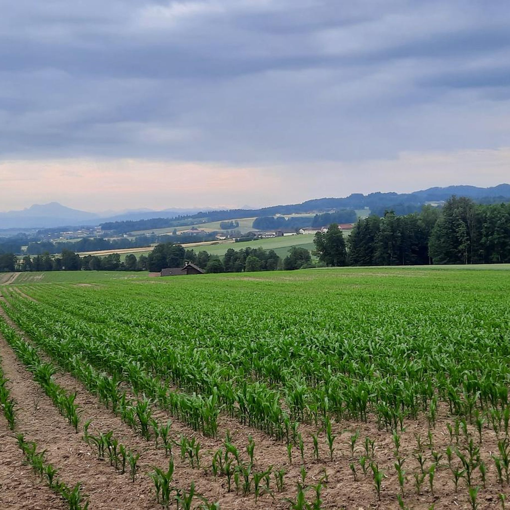
Best mountain peaks around Frankenburg am Hausruck are situated within the Hausruck Forest and Hausruck Mountains, offering elevated points for exploration. The municipality itself is located at an elevation of 519 meters. This region is characterized by its extensive forest areas, which are among the largest contiguous forest areas in Central Europe. Visitors can find a variety of hiking experiences, from moderate strolls to more challenging tours.
Best mountain peaks around Frankenburg am Hausruck
- The most popular mountain peaks is…
Last updated: October 11, 2026
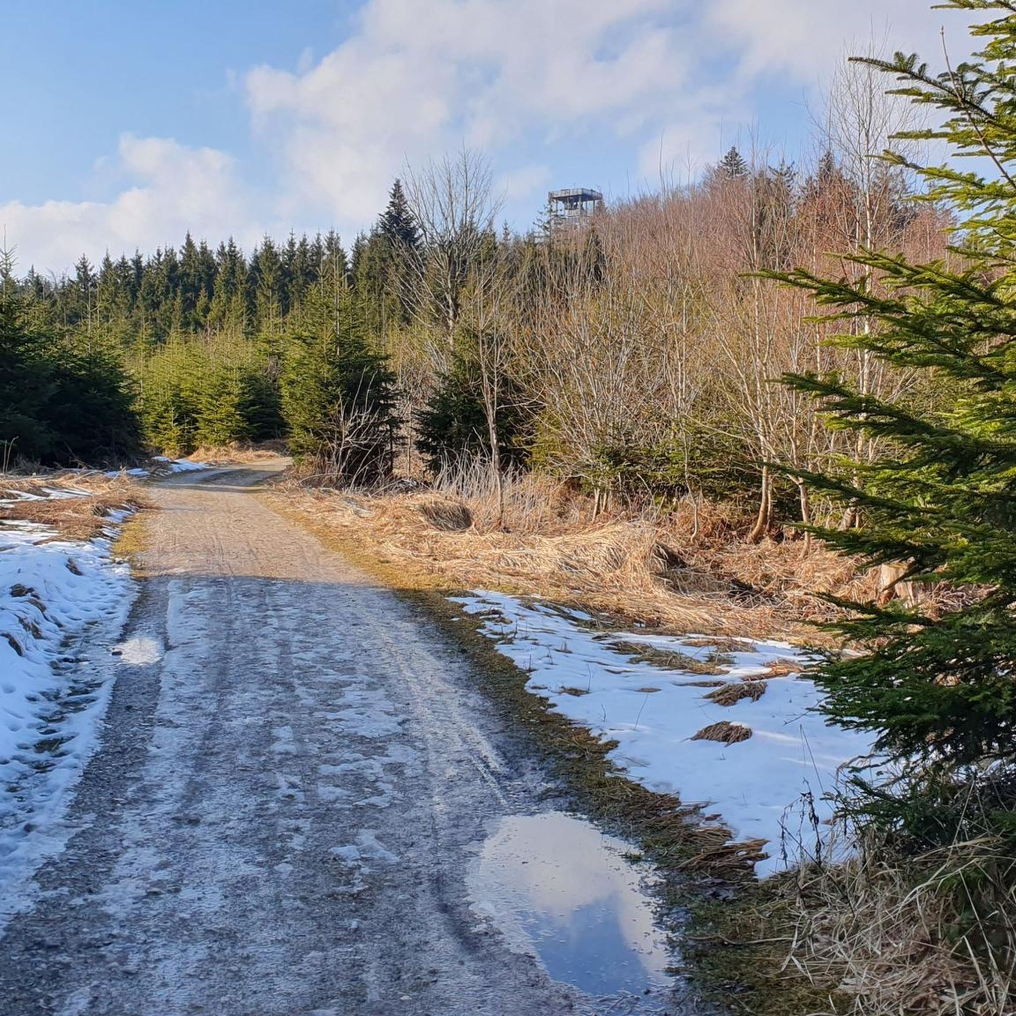
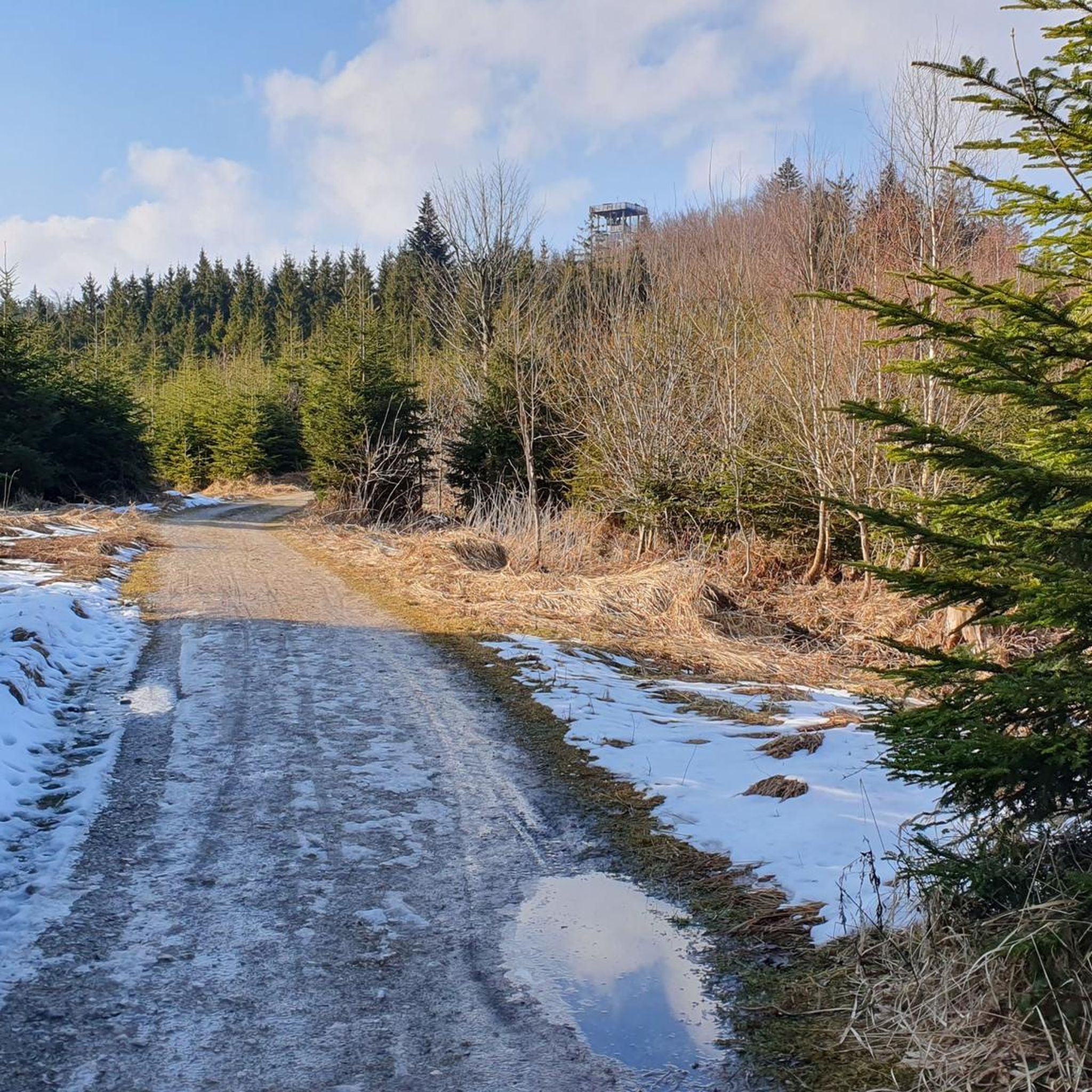
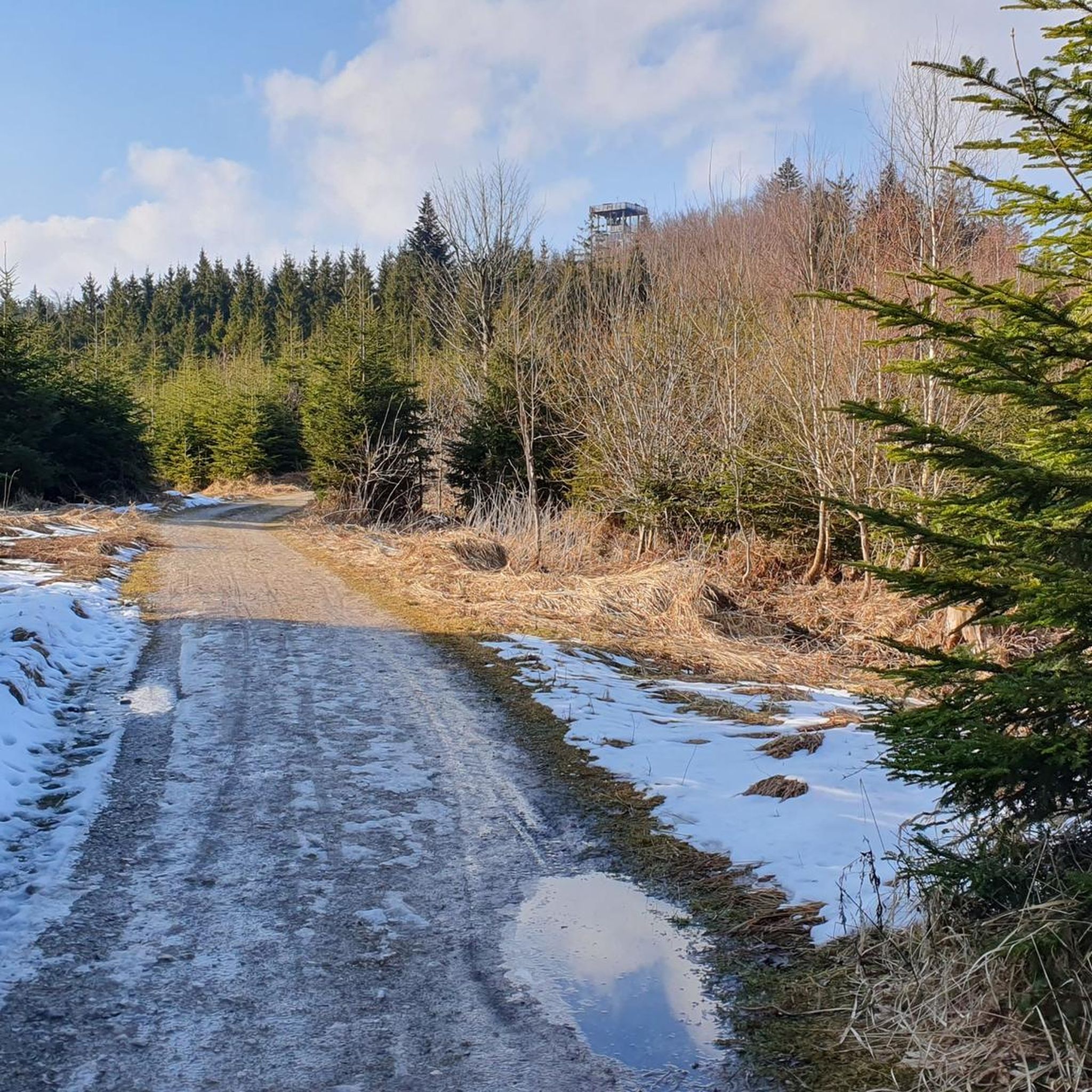
Göblberg Observation Tower
Highlight • Monument
Translated by Google •
Tip by

Lederer Kopf Summit
Highlight • Summit
Translated by Google •
Tip by

Sign up now to discover places like this
Get recommendations on the best single tracks, peaks, & plenty of other exciting outdoor places.
Kalteis Hut
Highlight • Mountain Hut
Translated by Google •
Tip by

Kohlhofer Kreuz Summit Cross
Highlight • Summit
Translated by Google •
Tip by

Geispiel Summit (559 m)
Highlight • Summit
Translated by Google •
Tip by

Sign up for free to discover even more peaks around Frankenburg am Hausruck.
Already have an account?
Start today with a free account
Your next adventure awaits.
Tips from the Community

Beautiful summit cross With a hidden reinforcement 😋 But don't drink too much of it 😉
0
0

If you are looking for the ultimate view you will unfortunately not find it but it is still beautiful here.
6
0

“Each of these crosses can tell its own story and what motivated people to erect “their” cross at this spot. (...) These wayside crosses were erected as visible signs and attract the attention of many people. The cross is a symbol of life. It stands as a sign of our Christian hope and aims to direct our gaze to Jesus Christ, who has overcome death (...). The cross is part of our lives, just as it was part of the life of Jesus. So I hope that many people ... will visit the wayside crosses, whether as places of silence and breathing before God, whether as places of community gathering, prayer and praise of God.” (Text source: Dean Rainald M. Ollig in: “Wayside crosses... small sacred monuments as signs of popular piety”)
1
0

Great tips and information to make you want to visit this place. Thank you for that!
1
0
Great tips and information to make you want to visit this place. Thank you for that!
4
1

ATTENTION: There are also riders on the entire routes and paths in Ampflwang. Please do NOT pass horses at full speed and drive around corners with foresight!
1
0

It is a 734 meter high mountain in the Hausruck and Kobernausserwald range in the Hausruckviertel. The summit is in the municipality of Pöndorf. To the northwest, the Rabenbachtal leads to the Hochecker Schwemmbachtal and thus to Mattig and Inn, to the west is the Fornacher Redltal, which drains with the Bruckwiesenbach to the Vöckla and via the Ager to the Traun. The mountain is mostly counted towards the Kobernausserwald, partly also towards the Hausruck – the demarcation of which is seen somewhere in the room. The name is likely to be of Slavic origin, -eis is a typical Windian educational syllable. In the Franciscan cadastre of the 1830s, a small hilltop settlement of Branauer is listed here, as well as an important border tree. There is said to have been an inn here. A single hut still stands today. A chapel is said to have stood nearby even earlier, according to Carl Schütz in 1787, in the south towards Meisterholz there is a St. Wolfgang. It must have fallen into disrepair by the 1830s. The mountain can be reached from all sides on numerous forest roads, through the valleys as well as along the ridges. A forest road also runs along the ridge itself. This makes the area good for hiking and mountain biking
2
0

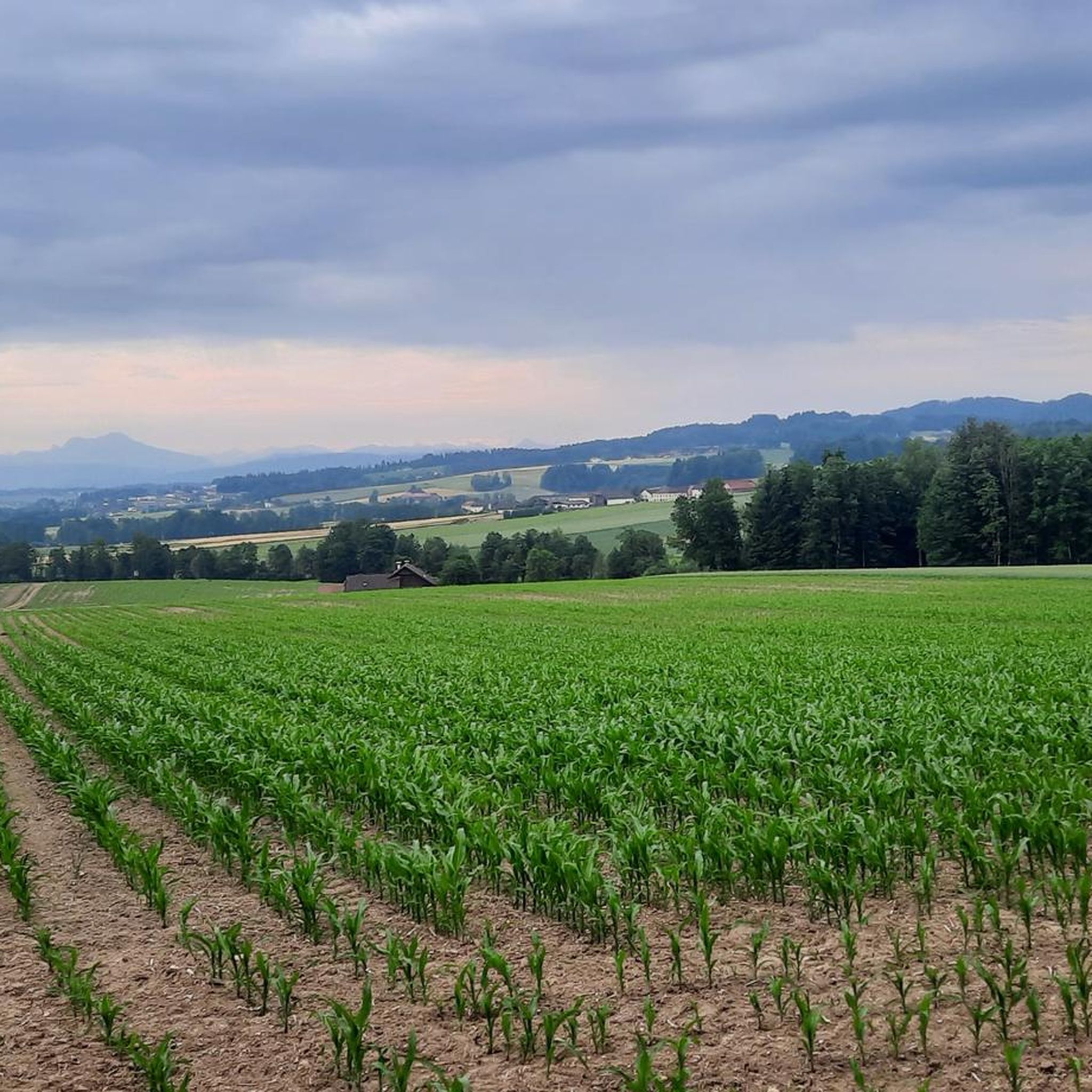
The highest elevation of Vöcklabruck, 559 m.
1
0
Frequently Asked Questions
What are some of the most notable mountain peaks and elevated points around Frankenburg am Hausruck?
The region offers several prominent elevated points. The Göblberg, at 801 meters, is the highest mountain in the Hausruckwald and features the Göblberg Observation Tower, providing expansive views. Other significant summits include the Hobelsberg (Ries'n) (777 m), Hörndl (748 m), and Schnepfenlecke (683 m), which are often part of longer hiking routes. You can also explore the Lederer Kopf Summit for a nice viewpoint with a summit book.
Are there any mountain peaks with particularly good viewpoints in the area?
Yes, the Göblberg Observation Tower on Göblberg is renowned for offering views of nearly the entire country on clear days. The Lederer Kopf Summit also provides a pleasant viewpoint, complete with a summit book. Additionally, the Geispiel Summit (559 m) offers magnificent views of the surrounding mountains.
What kind of natural features can I expect to see when hiking the mountain peaks near Frankenburg am Hausruck?
The region is characterized by the extensive Hausruckwald and Kobernaußerwald forest areas, which are among the largest contiguous forests in Central Europe. You'll encounter diverse forest landscapes, natural monuments, and various trails leading through this rich natural environment. Many peaks, like the Kohlhofer Kreuz Summit Cross, are nestled within these forests.
Are there family-friendly hiking options among the mountain peaks?
While specific 'family-friendly' categories aren't always assigned to individual peaks, many routes in the region offer varying difficulties. For easier hikes that might be suitable for families, consider routes like the 'Göblberg Observation Tower – Rothauptberg Viewing Platform loop from Endriegl' or the 'Göblberg Observation Tower – Hagler Marterl loop from Hoblschlag'. You can find more options in the Easy hikes around Frankenburg am Hausruck guide.
What outdoor activities can I do near these mountain peaks besides hiking?
Beyond hiking, the area around Frankenburg am Hausruck is excellent for cycling. You can explore various routes for gravel biking, such as the 'Badger pass – Redltal loop from Steiglberg' or the 'Kalteis Hut – Florianikapelle loop from Pöndorf'. Mountain biking is also popular, with trails like the 'Forest Path – Redltal loop from Frankenburg am Hausruck'. For more details, check out the Gravel biking around Frankenburg am Hausruck and MTB Trails around Frankenburg am Hausruck guides.
Is there a hut or a place to rest on any of the mountain peaks?
Yes, the Kalteis Hut is located on a 734-meter high mountain in the Hausruck and Kobernausserwald range. It serves as a nice place for a short rest during your hikes or mountain biking tours in the area.
What do visitors enjoy most about the mountain peaks around Frankenburg am Hausruck?
Visitors frequently praise the expansive views, especially from the Göblberg Observation Tower, which offers a breathtaking mountain panorama. The diverse forest areas and the variety of hiking experiences, from moderate strolls to more strenuous tours, are also highly appreciated. Many enjoy finding hidden gems like the Kohlhofer Kreuz Summit Cross, which provides a cozy resting spot.
Are there any challenging mountain hikes in the Frankenburg am Hausruck region?
Yes, the region offers more challenging routes for experienced hikers and mountain bikers. For instance, the Hobelsberg, Hörndl, and Schnepfenlecke summits are often combined into more extensive and demanding hiking trails. In mountain biking, routes like the 'Forest Path – Redltal loop from Frankenburg am Hausruck' or the 'Lederer Kopf Summit – Göblberg Observation Tower loop from Frankenburg am Hausruck' are rated as difficult.
What is the highest point in the immediate vicinity of Frankenburg am Hausruck?
The Göblberg, standing at 801 meters, is the highest mountain in the Hausruckwald, making it the most prominent elevated point near Frankenburg am Hausruck. Its Observation Tower is a key landmark.
Can I find any historical or cultural landmarks on the mountain peaks?
While the primary focus is natural beauty, you might encounter elements like the Kohlhofer Kreuz Summit Cross, which serves as a religious monument and a resting place. Historical context is also present with the Kalteis Hut, which has historical roots as a small hilltop settlement and possibly an inn, with a chapel said to have stood nearby even earlier.
Are there specific hiking trails that connect multiple peaks?
Yes, several hiking routes are designed to connect multiple peaks. For example, the Hobelsberg, Hörndl, and Schnepfenlecke are frequently combined into more extensive hiking tours originating from Frankenburg am Hausruck, allowing adventurers to experience diverse landscapes and multiple summits in one go.
What is the best time of year to visit the mountain peaks around Frankenburg am Hausruck?
The region offers hiking opportunities throughout much of the year. Spring and autumn provide pleasant temperatures and vibrant scenery, while summer is ideal for longer days and clear views. Winter can also be beautiful for snowshoeing or winter hiking, though conditions may vary and require appropriate gear. Always check local weather conditions before heading out.
Most popular routes around Frankenburg am Hausruck
Most popular attractions around Frankenburg am Hausruck

Get inspired with the komoot mobile app


Explore more
See even more amazing summits around Frankenburg am Hausruck with these guides:
