The best road cycling routes around Linton Hall
4.0
(10)
378
riders
38
rides
Road cycling routes around Linton Hall offer varied terrain characterized by rolling hills and agricultural land in western Prince William County, Virginia. The region's topography provides both challenging inclines and more leisurely stretches for cyclists. Dedicated paths, such as the Linton Hall Road Trail, offer accessible options for navigating the area. This landscape supports a range of road cycling experiences, from shorter loops to extended rides.
Best road cycling routes around Linton Hall
- The most popular road cycling route is…
Last updated: July 7, 2026
13
riders
28.8km
01:12
130m
130m
Easy road ride. Great for any fitness level. Mostly well-paved surfaces and easy to ride.
10
riders
65.1km
02:50
520m
520m
Moderate road ride. Good fitness required. Mostly well-paved surfaces and easy to ride.

Sign up for free
114km
05:12
820m
820m
Hard road ride. Very good fitness required. Mostly well-paved surfaces and easy to ride.
3.0
(1)
23
riders
46.8km
02:01
240m
240m
Moderate road ride. Good fitness required. Mostly well-paved surfaces and easy to ride.
11
riders
73.9km
03:27
580m
580m
Moderate road ride. Good fitness required. Mostly well-paved surfaces and easy to ride.
Get access to more routes and recommendations from other explorers.
Sign up for free
Already have an account?
Our route recommendations are based on thousands of hikes, rides, and runs completed by other people on komoot.
Start today with a free account
Your next adventure awaits.
Login or Signup
Popular around Linton Hall
Tips from the Community

Beautiful fun town with nice places to stop and eat. A couple of gas stations with easy Gatorade if you need to top off, or places to stop and grab lunch if you have more time
0
0

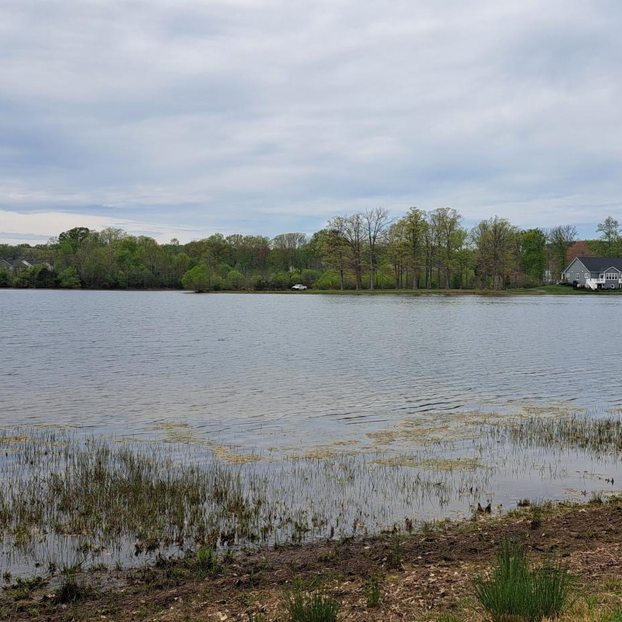
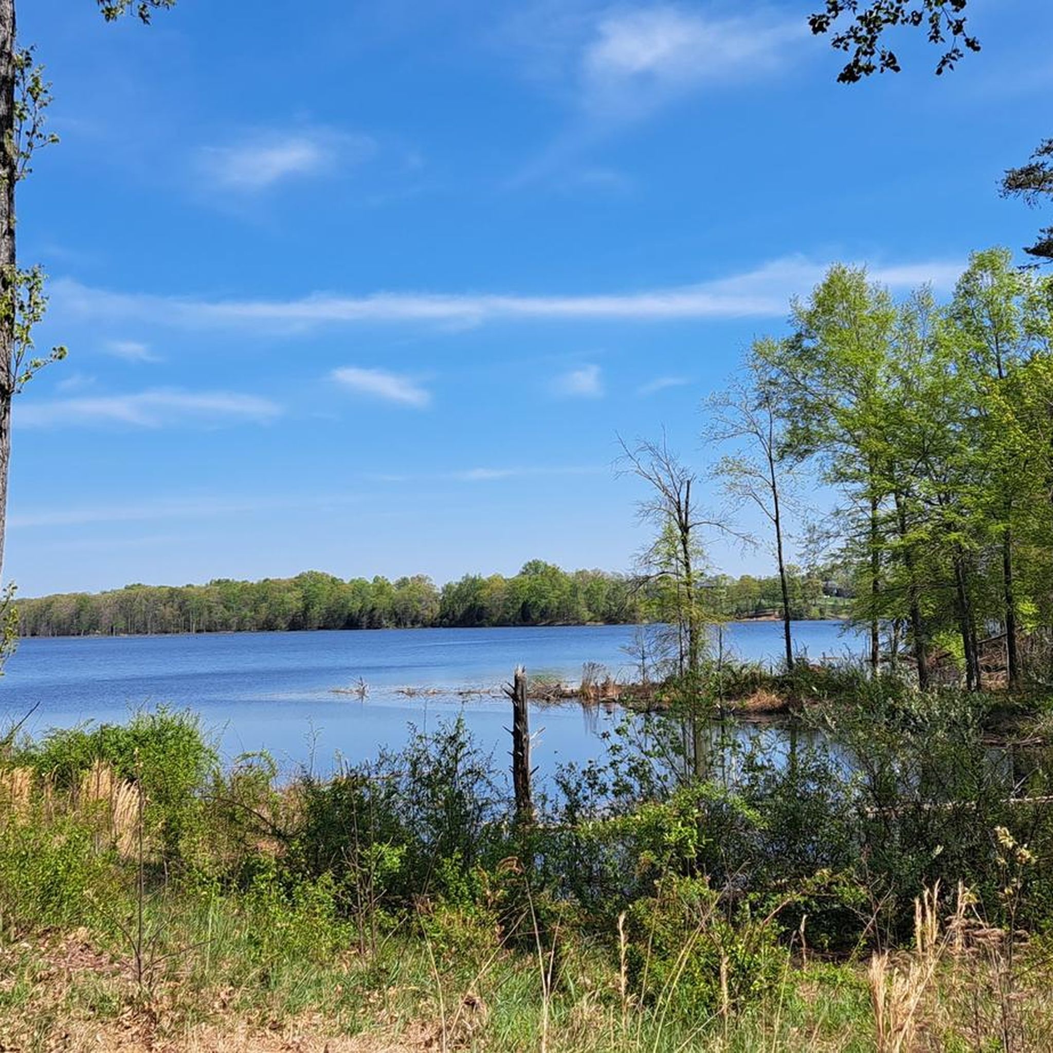
Sooo beautiful and peaceful! Water is calm and easy. Great fun, very impressed with the facilities and options. Very busy but plenty of space on the lake so you never feel crowded.
1
1

Nice climb out of The Plains headed toward Haymarket. Stiff rolling hills and the Hopewell gap crests before a nice fast descent.
0
0

Bull Run Regional Park and the entirety of northern Virginia is the site of a lot of Civil War history. As you bike the roads and highways in the neighboring towns and forest boundaries, keep your eyes peeled for Civil War sites and memorabilia on the sides of the roads.
0
0

The original stone bridge on the eastern edge of the Manassas Battlefield was destroyed in 1862 when the Confederate soldiers evacuated Northern Virginia. A replica was rebuilt in 1884 and is what still stands here today. There is a parking are and trail access nearby if you'd like to explore.
0
0
Hopewell Gap runs through the middle of the Bull Run Mountains. It had a strategic roll for military maneuvers during the Civil War, there was also a POW camp at nearby Camp Spindle. The road in/out has a grade of 13% so you can get a good climb or descent, depending on your direction of approach.
0
0
The original stone bridge on the eastern edge of the Manassas Battlefield was destroyed in 1862 when the Confederate soldiers evacuated Northern Virginia. A replica was rebuilt in 1884 and is what still stands here today. There is a parking area and trail access nearby if you'd like to explore.
0
0
Frequently Asked Questions
How many road cycling routes are available around Linton Hall?
Linton Hall offers a robust selection of road cycling routes, with over 40 distinct tours available. These routes cater to various skill levels, from easy rides to more challenging long-distance journeys.
What kind of terrain can I expect on road cycling routes in Linton Hall?
The road cycling routes around Linton Hall are characterized by rolling hills and picturesque agricultural land. This varied topography provides a mix of challenging inclines and more leisurely, flat stretches, making it suitable for different cycling preferences.
Are there any easy road cycling routes suitable for beginners in Linton Hall?
Yes, Linton Hall has several easy road cycling routes perfect for beginners or those seeking a more relaxed ride. There are 13 easy tours available, such as the Lake Brittle loop, which is an easy 17.9 miles (28.8 km) trail with a moderate elevation gain.
What are some more challenging road cycling routes for experienced cyclists?
For experienced cyclists looking for a challenge, Linton Hall offers 4 difficult road cycling routes. A notable option is the Hopewell Gap & Bull Run Regional Park loop, a demanding 70.6 miles (113.6 km) path featuring significant climbs and varied landscapes.
Can I find routes that offer scenic views or pass by interesting landmarks?
Absolutely. Many routes in the Linton Hall area pass through scenic landscapes and near historical landmarks. You can explore areas like Conway Robinson Memorial State Forest, or cycle near the Stone Bridge and Stone House within Manassas National Battlefield Park, offering both natural beauty and historical context.
Are there any loop trails for road cycling in the Linton Hall area?
Yes, many of the road cycling routes around Linton Hall are designed as loops, providing convenient starting and ending points. Examples include the Lake Brittle loop and the Middleburg, Virginia – Lovely Aldie loop from Conway Robinson Memorial State Forest.
What is the best time of year to go road cycling in Linton Hall?
Linton Hall experiences a humid subtropical climate, making it suitable for outdoor activities for a good portion of the year. Spring and fall generally offer the most pleasant temperatures for road cycling, with warm, wet summers and mild to cool winters also providing opportunities for rides.
Does Linton Hall offer any dedicated paved trails for road cycling?
Yes, a notable feature for local cyclists is the Linton Hall Road Trail, a 5.4-mile asphalt trail in western Prince William County. This trail runs parallel to State Route 619, providing a dedicated and accessible paved option for cyclists.
Where can I find parking for road cycling trails in Linton Hall?
While specific parking areas for each route vary, many routes start from locations with accessible parking. For routes that pass through or near parks like Conway Robinson Memorial State Forest, designated parking facilities are typically available.
What do other cyclists say about the road cycling experience in Linton Hall?
The road cycling routes in Linton Hall are highly rated by the komoot community, with an average score of 3.9 stars from more than 5 reviews. Over 300 road cyclists have used komoot to explore the varied terrain, often praising the mix of rolling hills and scenic agricultural views.
Are there family-friendly road cycling options in Linton Hall?
While specific 'family-friendly' designations can vary, the presence of dedicated paved trails like the Linton Hall Road Trail and numerous easy-grade routes, such as the Roadbike loop from Greenwich, provide accessible options for families to enjoy cycling together.
Most popular routes around Linton Hall
Most popular attractions around Linton Hall

Get inspired with the komoot mobile app


Explore more
Browse the best Road cycling routes in other regions.
