The best road cycling routes around Fort Hunt
4.4
(35)
2,626
riders
17
rides
Road cycling around Fort Hunt offers routes through a landscape characterized by its proximity to the Potomac River, featuring parks, and wildlife preserves. The terrain is generally flat to gently rolling, providing a mix of paved paths and quiet roads suitable for road cyclists. Elevation gains are typically modest, making many routes accessible for various skill levels.
Best road cycling routes around Fort Hunt
- The most popular road cycling route is Fort Hunt Park – Dyke Marsh Wildlife Preserve loop…
Last updated: July 15, 2026
3.7
(3)
84
riders
21.3km
01:03
90m
90m
Easy road ride. Great for any fitness level. Mostly well-paved surfaces and easy to ride.
5.0
(1)
107
riders
57.7km
02:33
320m
320m
Moderate road ride. Good fitness required. Mostly well-paved surfaces and easy to ride.

Sign up for free
5.0
(1)
48
riders
31.4km
01:27
170m
170m
Easy road ride. Great for any fitness level. Mostly well-paved surfaces and easy to ride.
5.0
(1)
90
riders
65.4km
02:55
260m
260m
Moderate road ride. Good fitness required. Mostly well-paved surfaces and easy to ride.
30
riders
20.5km
01:02
110m
110m
Easy road ride. Great for any fitness level. Mostly well-paved surfaces and easy to ride.
Get access to more routes and recommendations from other explorers.
Sign up for free
Already have an account?
Our route recommendations are based on thousands of hikes, rides, and runs completed by other people on komoot.
Start today with a free account
Your next adventure awaits.
Login or Signup



Tips from the Community

The Mount Vernon Trail is an 18-mile paved multi-use trail from George Washington's Mount Vernon to Theodore Roosevelt Island. This trail sees over one million users annually, making it one of the most popular trails of its kind in the country.
0
0


The Mount Vernon Trail is a paved 18-mile trail that runs from George Washington's Mount Vernon to Theodore Roosevelt Island. This section runs along the Potomac River and passes through several parks.
0
0
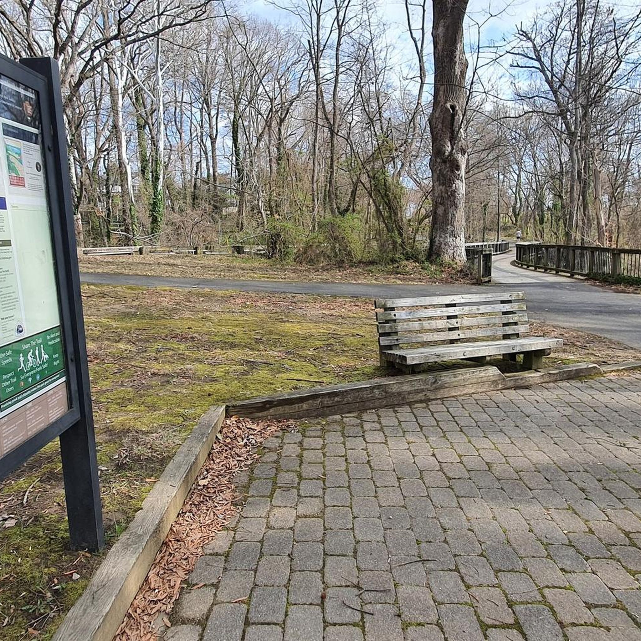
Nice wooden bridge that takes you over the Dyke Marsh Wildlife Preserve. The bridge is part of the Mount Vernon Trail.
0
0

Gravelly Point Park is overseen by the Nation Park Service as it lies within the George Washington Memorial Parkway. This unique location gives visitors an amazing opportunity to see planes taking off and landing at Ronald Reagan Washington National Airport. There is also an excellent view of the Washington Monument on the other side of the Potomac.
1
0

The Mount Vernon Trail is an 18-mile scenic path in Virginia that runs along the Potomac River, connecting Gateway Park in Rosslyn to George Washington’s Mount Vernon old estate. The trail has great views of the Washington D.C. monuments, the Kennedy Center, and passes through parks, wetlands, and historic sites like Old Town Alexandria. Popular for biking, walking, and running, it also links with other regional trails, including the Custis, Four Mile Run, and Woodrow Wilson Bridge Trails. Developed by the National Park Service with local volunteers, it now attracts approximately a million users annually.
0
0

Frequently Asked Questions
How many road cycling routes are available around Fort Hunt?
There are over 15 road cycling routes around Fort Hunt, offering a variety of options for different skill levels and preferences. The komoot community has explored these routes over 2000 times.
Are there easy road cycling routes suitable for beginners in Fort Hunt?
Yes, Fort Hunt offers many easy road cycling routes. For instance, the Belle Haven Park – Dyke Marsh Wildlife Preserve loop from Fort Hunt is an easy 12.0-mile path that provides a scenic ride through parkland and along the marsh, perfect for those new to road cycling.
What kind of terrain can I expect on road cycling routes in Fort Hunt?
Road cycling routes in Fort Hunt are generally characterized by flat to gently rolling terrain. The area's proximity to the Potomac River means many routes feature riverfront paths, parkland, and views of wildlife preserves, with modest elevation gains.
Are there any moderate or more challenging road cycling routes near Fort Hunt?
While many routes are easy, there are also moderate options for those seeking a bit more challenge. The Fort Hunt Park – Dyke Marsh Wildlife Preserve loop from Fort Hunt is a moderate 35.9-mile route with over 1000 feet of elevation gain, offering views of the Potomac River and passing through natural areas.
What are some scenic highlights or points of interest along the road cycling routes?
Many routes offer scenic views of the Potomac River and pass through natural areas like the Dyke Marsh Wildlife Preserve. You can also find routes that pass by historical sites such as George Washington's Mount Vernon, or urban green spaces like Oronoco Bay Park.
Are there loop road cycling routes available in Fort Hunt?
Yes, many road cycling routes in Fort Hunt are designed as loops, allowing you to start and end at the same point. An example is the Roadbike loop from Fort Hunt, a 27.2-mile trail that takes you through suburban areas and green spaces.
What do other road cyclists enjoy most about road cycling in Fort Hunt?
The area is highly rated by the komoot community, with an average score of 4.3 stars from over 30 reviews. Reviewers often praise the well-maintained paved paths, scenic river views, and the accessibility of routes for various skill levels, particularly the peaceful stretches through parks and preserves.
What is the best season for road biking around Fort Hunt?
Spring and fall generally offer the most pleasant conditions for road biking in Fort Hunt, with mild temperatures and beautiful foliage. Summer can be warm and humid, while winter can bring colder temperatures, though paved paths are often clear for riding.
Are the road cycling routes in Fort Hunt mostly paved?
Yes, the road cycling routes around Fort Hunt primarily utilize paved paths and quiet roads, making them ideal for road bikes. This ensures a smooth and consistent riding surface throughout the region.
Are there any routes that offer views of the Woodrow Wilson Bridge?
Yes, you can find routes that incorporate views of the Woodrow Wilson Bridge. The Woodrow Wilson Bridge – Dyke Marsh Wildlife Preserve loop from Belle Haven is an easy 9.6-mile route that offers this perspective while also passing through natural areas.
What is the typical duration for road cycling routes in this area?
The duration of road cycling routes in Fort Hunt varies significantly. Shorter, easy routes like the Belle Haven Park – Dyke Marsh Wildlife Preserve loop can be completed in just under an hour, while longer, moderate routes such as the Belmont Bay – Belmont Bay loop from Fort Hunt can take over 2 hours and 45 minutes.
Most popular attractions around Fort Hunt

Get inspired with the komoot mobile app


Explore more
Browse the best Road cycling routes in other regions.
