The best cycling routes around South Londonderry
5.0
(2)
22
riders
7
rides
Best touring cycling routes in South Londonderry, Vermont, are found within a landscape characterized by the Green Mountain National Forest. The region features a mix of forested terrain, river valleys, and country roads suitable for cycling. The West River traces its course through the area, contributing to the scenic backdrop. Lowell Lake, an undeveloped natural state park, also offers quiet routes for exploration.
Best touring cycling routes around South Londonderry
- The most popular touring cycling route is Hapgood Pond –…
Last updated: July 12, 2026
5.0
(2)
3
riders
Hard bike ride. Very good fitness required. Mostly paved surfaces. Suitable for all skill levels.
4
riders
Moderate bike ride. Good fitness required. Mostly paved surfaces. Suitable for all skill levels.

Sign up for free
3
riders
18.3km
01:39
260m
260m
Moderate bike ride. Good fitness required. Mostly paved surfaces. Suitable for all skill levels.
4
riders
35.8km
03:21
640m
640m
Hard bike ride. Very good fitness required. Mostly paved surfaces. Suitable for all skill levels.
2
riders
27.4km
02:22
450m
450m
Moderate bike ride. Good fitness required. Mostly paved surfaces. Suitable for all skill levels.
Get access to more routes and recommendations from other explorers.
Sign up for free
Already have an account?
Our route recommendations are based on thousands of hikes, rides, and runs completed by other people on komoot.
Start today with a free account
Your next adventure awaits.
Login or Signup
Popular around South Londonderry
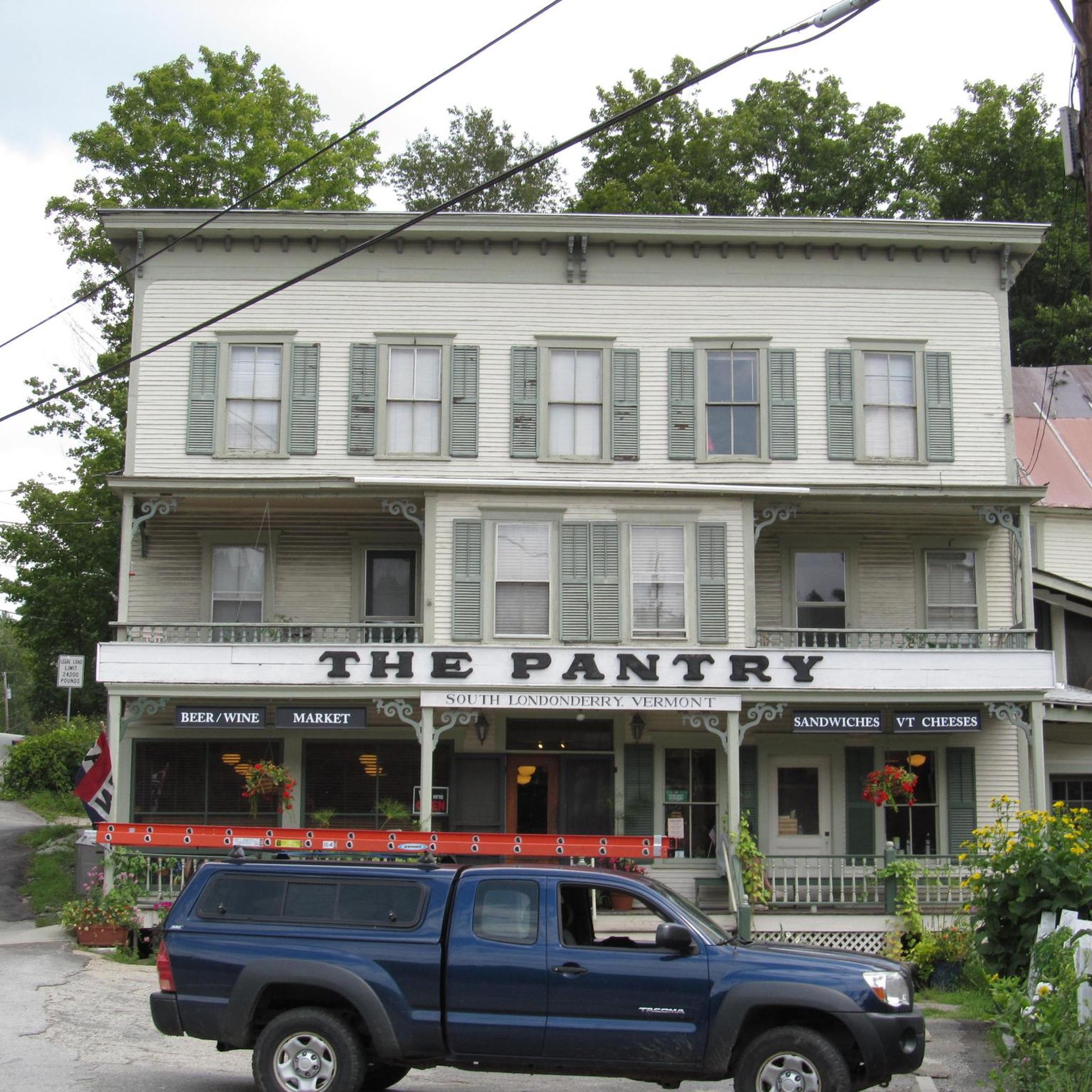

Tips from the Community

Hapgood Pond is a 12-acre pond that is 12 feet deep at its deepest point. This pond is within a recreation area of the same name. The recreation area has a campground, restrooms, picnic tables, and a swimming beach.
0
0

The Mill Pond is a small pond off of the scenic West River in Londonderry, Vermont. It is just east of downtown Londonderry where you can get a bite to eat on your ride.
0
0

This old village is register as a US Historic site. It has well-preserved mid-19th century houses.
0
0
Frequently Asked Questions
How many touring cycling routes are available in South Londonderry?
South Londonderry offers a selection of 9 touring cycling routes. These routes cater to various skill levels, with 5 moderate and 4 difficult options, providing diverse experiences through the region's landscapes.
What kind of terrain can I expect on touring cycling routes in South Londonderry?
The touring cycling routes in South Londonderry primarily traverse forested landscapes, river valleys, and country roads. You'll find yourself within the verdant expanse of the Green Mountain National Forest, with routes often featuring varied terrain and significant elevation changes, particularly on the more difficult paths.
Are there any circular touring cycling routes in South Londonderry?
Yes, several routes in South Londonderry are designed as loops, offering a convenient way to explore without retracing your path. Examples include the Hapgood Pond – The Mill Pond loop from Gale Meadows Wildlife Management Area, the The Mill Pond – Hapgood Pond loop from Londonderry, and the Picnic Island loop from The Island.
What natural features will I encounter on touring cycling routes in South Londonderry?
You'll be cycling through the picturesque Green Mountain National Forest, enjoying lush, mountainous environments. The West River traces its course through the area, contributing to scenic views. Lowell Lake, an undeveloped natural state park, also offers quiet routes for exploration and is circled by a multi-use trail.
Are there any dedicated paths or rail trails suitable for touring cyclists?
The West River Rail Trail is a notable multi-use trail in the area, offering a scenic out-and-back experience. While not paved, it's generally smooth and follows the West River for about 9.8 miles (15.8 km). It's suitable for touring cyclists looking for a less technical ride. You can also find other multi-use trails around Lowell Lake.
Are there family-friendly options for touring cycling in South Londonderry?
While the dedicated touring cycling routes in our guide range from moderate to difficult, the West River Rail Trail is a good option for families. It's generally smooth and features the Winhall Brook Campground along the way, which offers a playground, restrooms, and picnic spots. The multi-use trail around Lowell Lake is also a gentler option.
What is the average length and elevation gain of touring cycling routes in South Londonderry?
The touring cycling routes in South Londonderry vary in length and elevation. For instance, the Hapgood Pond – The Mill Pond loop from Gale Meadows Wildlife Management Area is 32.9 miles (53.0 km) with over 760 meters of elevation gain, while the Picnic Island loop from The Island is 11.3 miles (18.3 km) with about 260 meters of ascent. You can expect routes to range from approximately 11 to 35 miles with varying elevation profiles.
What do other touring cyclists enjoy about cycling in South Londonderry?
The area is highly rated by the komoot community, with an average score of 5.0 stars. Cyclists often praise the varied terrain, the scenic beauty of the Green Mountain National Forest, and the peaceful country roads that define the touring experience in South Londonderry.
Are there any routes that pass through state forests or natural areas?
Yes, several routes offer immersion in natural settings. For example, the Williams River State Forest loop from Woodburn Cemetery takes you through the Williams River State Forest. Many other routes also wind through parts of the Green Mountain National Forest, providing a deep connection with nature.
Can I find routes that start from specific points like trailheads?
Yes, some routes are designed to start from convenient access points. For example, the Bike loop from South Trailhead, West River Trail begins directly from a trailhead, making it easy to access and start your ride.
What is the best time of year for touring cycling in South Londonderry?
The region's picturesque landscapes are best enjoyed during the warmer months, typically from late spring through early autumn, when the weather is mild and the foliage is vibrant. This avoids the challenges of Vermont's 'mud season' in early spring and the snow and ice of winter, which can make many trails and country roads unsuitable for touring cycling.
Most popular routes around South Londonderry

Get inspired with the komoot mobile app


Explore more
Browse the best Cycling routes in other regions.
