The best road cycling routes around North Pownal
4.5
(2)
188
riders
2
rides
Road cycling routes around North Pownal offer diverse terrain within the scenic landscape of Vermont. The region is characterized by its proximity to the Green Mountains, providing varied topography and opportunities for both gentle and challenging rides. Cyclists can explore routes that follow the Hoosic River, offering riverside views, and encounter a mix of paved and unpaved surfaces on some paths. The area's elevation changes contribute to a range of road cycling experiences.
Best road cycling routes around North Pownal
…Last updated: July 12, 2026
33
riders
39.1km
02:19
910m
910m
The Mount Greylock loop from The Clark Art Institute offers a demanding road cycling adventure, leading you through the scenic Mount Greylock State Reservation. You'll navigate winding roads and deep…
23
riders
46.3km
02:02
470m
470m
Moderate road ride. Good fitness required. Mostly well-paved surfaces and easy to ride.

Sign up for free
4.5
(2)
19
riders
This easy 19.2-mile (30.9 km) road cycling loop from The Clark Art Institute offers a delightful journey along the Hoosic River, with a modest 904 feet (276 metres) of elevation…
9
riders
Moderate road ride. Good fitness required. Mostly well-paved surfaces and easy to ride.
13
riders
37.9km
01:42
330m
330m
This moderate 23.6-mile (37.9 km) road cycling loop, taking about 1 hour and 41 minutes, offers a unique blend of cultural immersion and scenic beauty. You'll cycle along the Hoosic…
Our route recommendations are based on thousands of hikes, rides, and runs completed by other people on komoot.
Start today with a free account
Your next adventure awaits.
Login or Signup
Popular around North Pownal

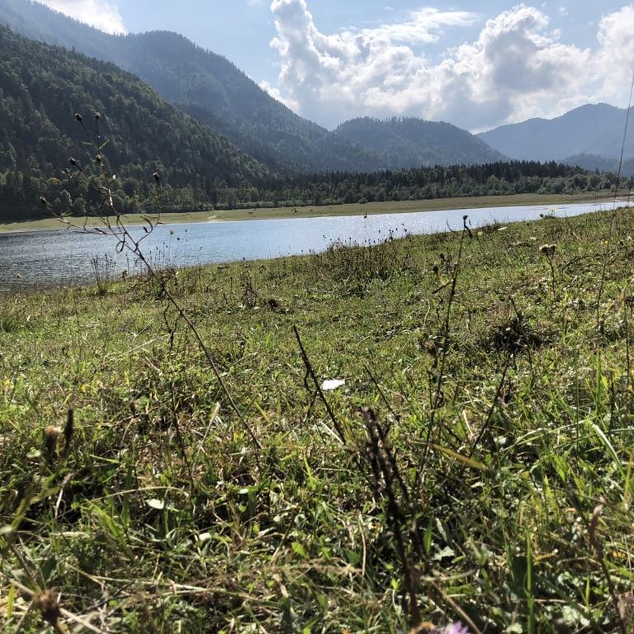
Tips from the Community

Site of the first confrontation between the Green Mountain Boys and the "Yorker" Sheriff and posse. at the Breckenridge Farm.
1
0

The 1753 House stands as a faithful reproduction of a settler's home from 1753 in The Berkshires. Situated in Field Park at Williamstown's west end, it was built by volunteers in 1953 to commemorate the town's Bicentennial. Early settlers in the Hoosac Valley, including Williamstown and North Adams, were obligated by contract to construct a house of specific dimensions and clear a designated amount of land to secure their lot. You can see the house from the roadside.
0
0

Mohawk Trail Multiuse Path is an almost 5-mile long trail near Williamstown. The trail is mostly flat and at times, gives you good views of the Housatonic River.
0
0
The Bennington Battle Monument, erected in 1891, commemorates the Revolutionary War's Battle of Bennington in Vermont. Standing at 306 feet, it symbolizes the victory against British forces. Funded by patriotic citizens, the monument is a testament to the community's dedication to preserving and honoring its historical legacy.
0
0
Established in 1762, The First Congregational Church of Bennington, or Old First Church, boasts a rich history in Old Bennington, Vermont. The present meeting house, erected in 1805, stands as a stellar representation of Federal period religious architecture in the state. Recognized for its historical significance, it earned a spot on the National Register of Historic Places in 1973.
0
0
The Church of the Sacred Heart and St. Francis de Sales, located in Bennington, Vermont, holds a rich history dating back to its establishment. Serving as a spiritual cornerstone, the church's architectural and cultural significance draws interest. It stands as a testament to the community's enduring faith and heritage.
0
0
The Silk Covered Bridge, part of Silk Road, spans the Walloomsac River connecting Bennington and North Bennington, Vermont. Constructed in 1840, this Town lattice truss bridge is one of three in the vicinity. Its historical significance led to its inclusion in the National Register of Historic Places in 1973.
0
0

The Cold Spring Preserve borders the southern grounds of The Clark Art Institute, a well known local art museum with an impressive collection of 19th-century French Impressionist and Academic paintings and beautiful grounds. This is a nice place to slow down as you ride to admire the views and look out for wildlife.
0
0
Frequently Asked Questions
What types of road cycling routes can I find around North Pownal?
North Pownal offers a diverse range of road cycling routes, from moderate loops to more challenging ascents. The region's varied topography, influenced by the Green Mountains and the Hoosic River, provides options for different ability levels. You'll find routes with significant elevation gains, as well as more balanced rides through scenic landscapes.
Are there any easy or beginner-friendly road cycling routes in North Pownal?
Yes, for those seeking a more relaxed ride, the Hoosic River loop from The Clark Art Institute is an excellent choice. This 19.0-mile (30.5 km) trail leads through picturesque riverside landscapes and is generally completed in about 1 hour 21 minutes, making it suitable for beginners or a leisurely outing.
Where can I find challenging road cycling routes near North Pownal?
For experienced cyclists looking for a challenge, the Mount Greylock loop from The Clark Art Institute is a demanding option. This 24.3-mile (39.1 km) route features significant elevation gain, making it a difficult ride that takes approximately 2 hours 19 minutes to complete. The broader region, including the Mad River Valley, is known for steep and long climbs, suggesting similar challenging opportunities are accessible from North Pownal.
Are there any circular road cycling routes in the North Pownal area?
Many of the road cycling routes around North Pownal are designed as loops, offering a convenient way to explore the area without retracing your path. Examples include the Cold Spring Preserve loop from The Clark Art Institute and the Hoosic River loop from The Clark Art Institute, both providing scenic circular rides.
What are some scenic stops or landmarks along the road cycling routes?
The North Pownal area is rich in natural beauty and cultural attractions. Along your rides, you can enjoy views of the Green Mountains and the beautiful Hoosic River. Routes like the Bennington Battle Monument – Silk Covered Bridge loop will take you past historical sites such as the Bennington Battle Monument. Additionally, areas like Hopkins Forest and Pine Cobble Preserve offer natural points of interest.
What do other road cyclists enjoy most about cycling in North Pownal?
The road cycling routes around North Pownal are highly rated by the komoot community, with an average score of 4.5 stars from over 2 reviews. Cyclists often praise the varied terrain, the scenic backdrop of the Green Mountains, and the opportunities for both moderate and challenging rides. The presence of the Hoosic River and cultural attractions also adds to the appeal.
Are there any routes that combine road cycling with other types of terrain?
While primarily focused on road cycling, some routes in the wider Pownal area may incorporate a mix of paved and unpaved surfaces. For instance, some local rides are described as being 97% paved, indicating well-maintained roads but with potential for short unpaved sections. The region also features rail trails and forest service roads for varied cycling experiences, though these might be more suited for gravel or mountain bikes.
What is the best time of year for road biking in North Pownal?
The best time for road biking in North Pownal is typically from late spring through early autumn. During these months, the weather is generally mild, and the natural scenery is at its most vibrant. Spring offers fresh greenery, while autumn provides stunning fall foliage, making for particularly picturesque rides. It's always advisable to check local weather conditions before heading out.
Are there any road cycling routes that pass by the Hoosic River?
Yes, the Hoosic River loop from The Clark Art Institute is specifically designed to follow the beautiful Hoosic River, offering scenic riverside views. Another option is the Hoosic River – MASS MoCA loop from The Clark Art Institute, which also incorporates sections along the river.
What are the typical distances and elevation gains for road cycling routes in North Pownal?
Road cycling routes in North Pownal vary significantly in distance and elevation. You can find shorter loops like the Hoosic River loop at 19.0 miles (30.5 km) with about 282 meters of elevation gain. Longer and more challenging routes, such as the Mount Greylock loop, span 24.3 miles (39.1 km) with over 912 meters of climbing, catering to a wide range of fitness levels.
Is there parking available for road cyclists in North Pownal?
While specific parking details for every route are not provided, many routes, such as those starting 'from The Clark Art Institute,' suggest convenient access points where parking is likely available. When planning your ride, it's recommended to check the starting point of your chosen route for information on nearby parking facilities.
Most popular routes around North Pownal
Most popular attractions around North Pownal

Get inspired with the komoot mobile app


Explore more
Browse the best Road cycling routes in other regions.
