The best road cycling routes around Brattleboro
3.0
(1)
76
riders
14
rides
Road cycling around Brattleboro offers routes through the rolling terrain of southeastern Vermont, characterized by river valleys, forested areas, and scenic ponds. The region features varied elevation changes, providing both challenging climbs and gentler stretches. Road cyclists can expect to navigate routes that traverse rural landscapes and connect natural landmarks. The area's topography supports a range of road cycling experiences, from moderate loops to more difficult, longer distances.
Best road cycling routes around Brattleboro
- The most popular road cycling route is Sawyer Pond – Cushman Park loop from Brattleboro, a 33.0 miles (53.1 km) trail that takes 2 hours 17 minutes to complete, featuring a moderate difficulty level.
- Another top favourite among local road cyclists is West River overlook – Newfane Store loop from Brattleboro, a difficult 58.6 miles (94.3 km) path, offering extensive views of the West River valley and surrounding countryside.
- Local road cyclists also love the Weatherhead Hollow Pond – Cushman Park loop from Brattleboro, a 34.6 miles (55.6 km) trail leading through areas with ponds and forested sections, often completed in about 2 hours 31 minutes.
- Road cycling around Brattleboro is defined by river valleys, scenic ponds, and forested hills, with routes available for various ability levels.
- The guide includes highly-rated routes that showcase the best of the region's landscape. More than 70 road cyclists have used komoot to explore Brattleboro's varied terrain.
Last updated: July 9, 2026
14
riders
63.1km
03:07
660m
660m
Moderate road ride. Good fitness required. Some segments of this route may be unpaved and difficult to ride.
8
riders
53.1km
02:17
460m
460m
Moderate road ride. Good fitness required. Mostly well-paved surfaces and easy to ride.

Sign up for free
9
riders
94.3km
04:16
960m
960m
Hard road ride. Very good fitness required. Some segments of this route may be unpaved and difficult to ride.
6
riders
55.5km
02:31
590m
590m
Moderate road ride. Good fitness required. Some segments of this route may be unpaved and difficult to ride.
7
riders
28.4km
01:27
370m
370m
Moderate road ride. Good fitness required. Some segments of this route may be unpaved and difficult to ride.
Get access to more routes and recommendations from other explorers.
Sign up for free
Already have an account?
Our route recommendations are based on thousands of hikes, rides, and runs completed by other people on komoot.
Start today with a free account
Your next adventure awaits.
Login or Signup
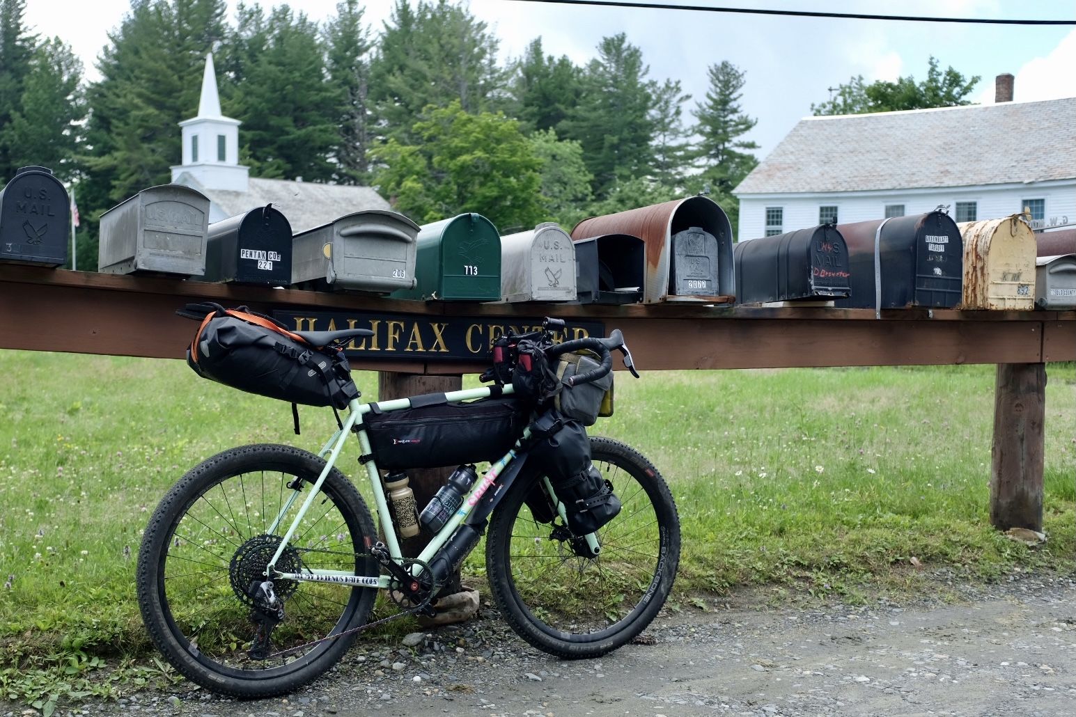
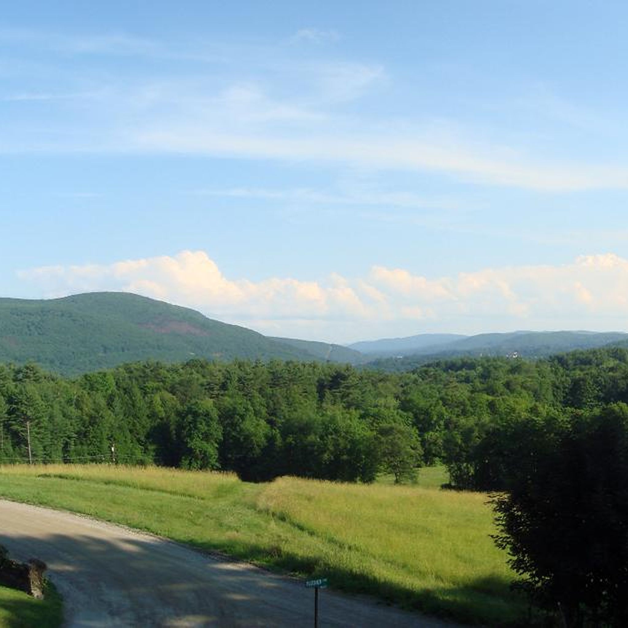

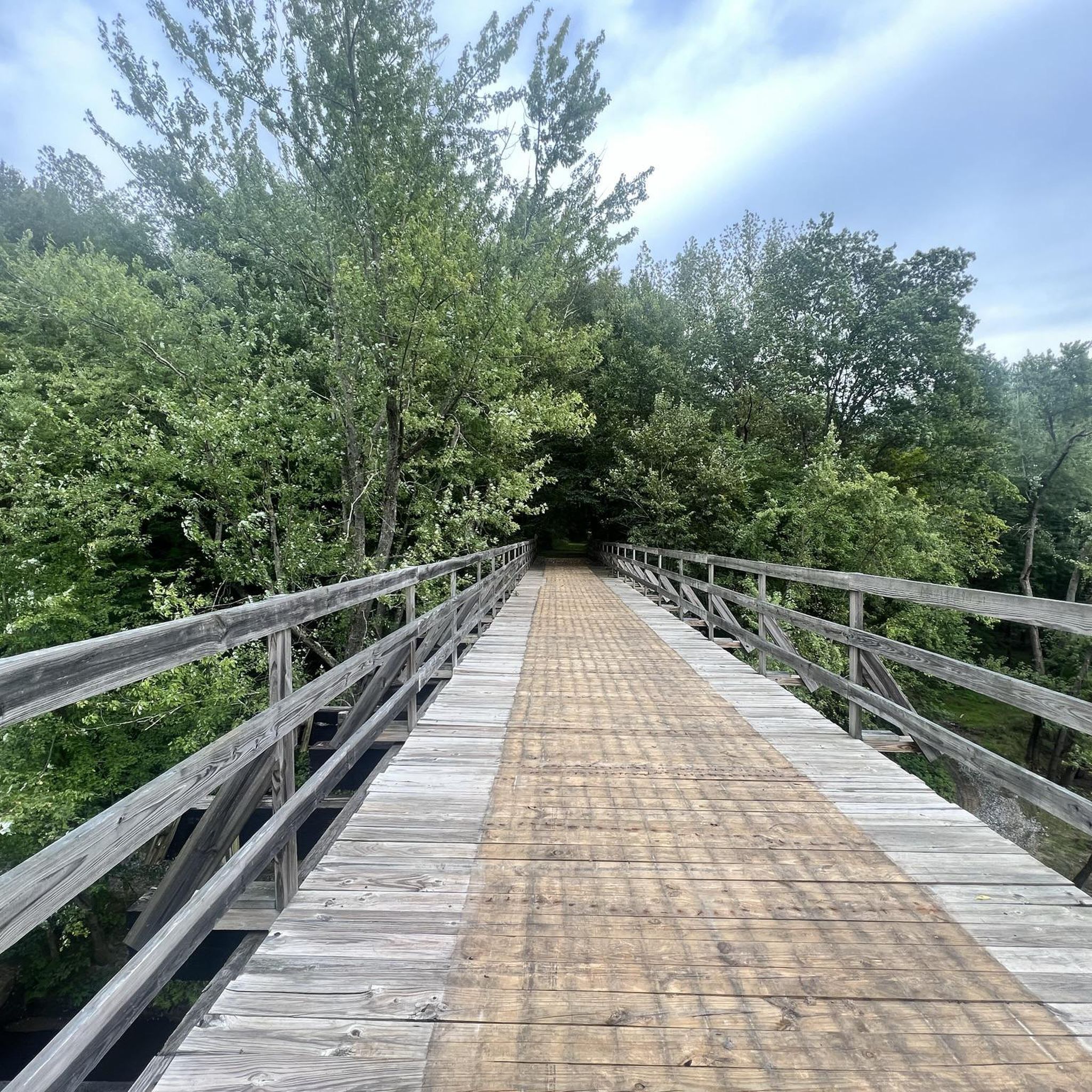

Other adventures around Brattleboro

Tips from the Community

A place of tranquility. Weatherhead Hollow pond is the ideal place to relax yourself and embrace some of the nature finest gifts: the soothing of the mind with smooth sound. The pond has a parking on the south end, which allows you to bring your non-motor sailing vehicle and float on its waters.
0
0
A place of tranquility. Weatherhead Hollow pond is the ideal place to relax yourself and embrace some of nature's finest gifts: the soothing of the mind with smooth sound. The pond has parking on the south end, which allows you to bring your non-motor sailing vehicle and float on its waters. The views of the mountains and the forest are the ones you desire to find on your probably chilled bike touring adventure. Don't miss the opportunity to immortalize the scene.
0
0
Feel yourself hovering over Sawyer Pond as you fly on Old Vernon Road. The brown fallen leaves of autumn make this place picture-worthy.
0
0

Sawyer Pond lies on both sides of Old Vernon Road. This is a pretty spot to ride by because you are surrounded by water on both sides.
0
0

Cushman Park, being right next to the Darwin Scott Wildlife Management Area, provides a green space for the public to enjoy. The park was donated back in 1908, and the adjacent Darwin Scott Wildlife Management Area provides 27.92 acres of explorable space. Cushman Park is an important part of the community, with local events and art displays happening here quite often.
0
0

Trailhead with parking that lets you choose whether to take the paths that bring you east to Pisgah State Forest or west to Daniels Mountain. In the high season it can get busy, so make sure to get there early to get a parking spot.
0
0

The Native Americans of the region used to call the West River "Wantastiquet" which means "waters of the lonely way”. The Wantastiquet Trail is connected to both the mountains and the West River. This path was an important link that connected Fort Drumner and the Green Mountains.
0
0

You park near the marina at the southern end of Spring Tree Road in a large gravel lot by the river. From here you follow the river north on the road to where it quickly becomes a bike path.
0
0
Frequently Asked Questions
How many road cycling routes are available around Brattleboro?
Based on komoot data, there are 13 road cycling routes around Brattleboro. The region offers a mix of moderate and difficult routes, catering to various skill levels.
What kind of difficulty can I expect on road cycling routes near Brattleboro?
The routes around Brattleboro primarily feature moderate difficulty, with 12 out of 13 routes falling into this category. There is also one difficult route for more experienced cyclists. The terrain includes rolling hills, river valleys, and forested areas, providing varied elevation changes.
Are there any long-distance road cycling routes in the Brattleboro area?
Yes, for those seeking a longer challenge, the West River overlook – Newfane Store loop from Brattleboro is a difficult 58.6-mile (94.3 km) path. It offers extensive views of the West River valley and surrounding countryside.
What are some popular loop road cycling routes around Brattleboro?
Many routes in the area are loops. A popular moderate option is the Sawyer Pond – Cushman Park loop from Brattleboro, which is 33.0 miles (53.1 km). Another well-liked moderate loop is the Weatherhead Hollow Pond – Cushman Park loop from Brattleboro, covering 34.6 miles (55.6 km) through areas with ponds and forested sections.
What kind of scenic views can I expect on road cycling routes near Brattleboro?
Road cycling around Brattleboro is characterized by routes that traverse rural landscapes, river valleys, scenic ponds, and forested hills. You can expect varied elevation changes that often open up to panoramic views of the Vermont countryside.
Are there any interesting landmarks or attractions to see along the road cycling routes?
Yes, the Brattleboro area offers several points of interest. You might encounter the Wantastiquet–Monadnock Trailhead, or enjoy the View of Vermont from Wantastiquet Mountain Stone Post. Other notable spots include Black Mountain and the historic Madame Sherri House.
What do other road cyclists enjoy the most about road cycling in Brattleboro?
The area is highly rated by the komoot community, with an average score of 3.0 stars. Reviewers often praise the diverse terrain, which includes river valleys, scenic ponds, and forested hills, providing a range of experiences from moderate loops to more challenging, longer distances.
What is the best time of year for road biking in Brattleboro?
The best time for road biking in Brattleboro is typically from late spring through early autumn (May to October). During these months, the weather is generally mild, and the natural scenery, including fall foliage, is at its most vibrant. Winter cycling can be challenging due to snow and ice.
Are there any road cycling routes suitable for families in Brattleboro?
While there are no routes specifically classified as 'easy' for very young children, many of the moderate routes, such as the Roadbike loop from Dutton Pines State Forest Park (28.4 miles), could be suitable for families with older, more experienced children who are comfortable with varied terrain and moderate distances.
Are there options for parking near road bike trailheads in Brattleboro?
Many road cycling routes in Brattleboro start from accessible points within or near the town, where public parking is generally available. For routes originating from specific parks or trailheads, such as the Roadbike loop from Dutton Pines State Forest Park, designated parking areas are typically provided.
Can I find cafes or places to refuel along the road cycling routes in Brattleboro?
The routes around Brattleboro often pass through or near small towns and villages, providing opportunities to stop for refreshments. While specific cafes are not listed for every route, planning your ride to include stops in Brattleboro or nearby communities like Newfane (as featured in the West River overlook – Newfane Store loop) will allow for refueling.
Most popular routes around Brattleboro
Most popular attractions around Brattleboro

Get inspired with the komoot mobile app


Explore more
Browse the best Road cycling routes in other regions.
