Top 13 Mountain Passes around Bruck am Ziller
Mountain passes around Bruck am Ziller offer access to the Zillertal and Alpbachtal valleys. This region, nestled in the Tyrolean Alps, features diverse terrain suitable for various outdoor activities. The landscape is characterized by mountain ranges, providing opportunities for both challenging ascents and scenic routes. It serves as a gateway to exploring the broader Ziller Valley.
Best mountain passes around Bruck am Ziller
- The most popular mountain pass is Kerschbaumer Saddle, a mountain pass that connects the Alpbachtal and…
Last updated: July 10, 2026
Stone Gate
Highlight • Mountain Pass
Translated by Google •
Tip by

Kerschbaumer Saddle
Highlight • Mountain Pass
Translated by Google •
Tip by

Sign up now to discover places like this
Get recommendations on the best single tracks, peaks, & plenty of other exciting outdoor places.
Sign up for free
Spieljoch Summit
Highlight • Summit
Translated by Google •
Tip by

Marchgatterl Pass
Highlight • Mountain Pass
Translated by Google •
Tip by

View of the Brandenberg Alps
Highlight • Viewpoint
Translated by Google •
Tip by

Sign up for free to discover even more mountain passes around Bruck am Ziller.
Sign up for free
Already have an account?
Start today with a free account
Your next adventure awaits.
Login or Signup
Popular around Bruck am Ziller
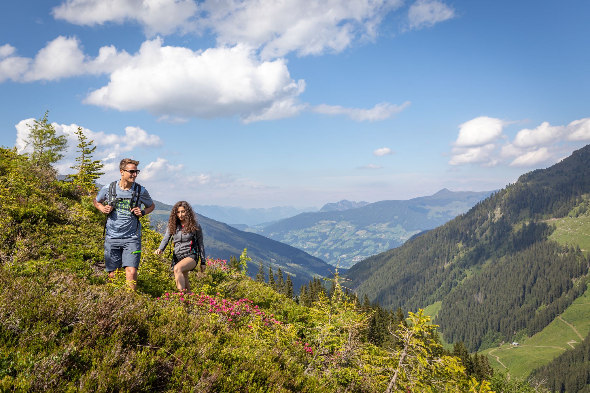
15 hikes in Austria’s Zillertal Valley – exploring the Fügen-Kaltenbach region
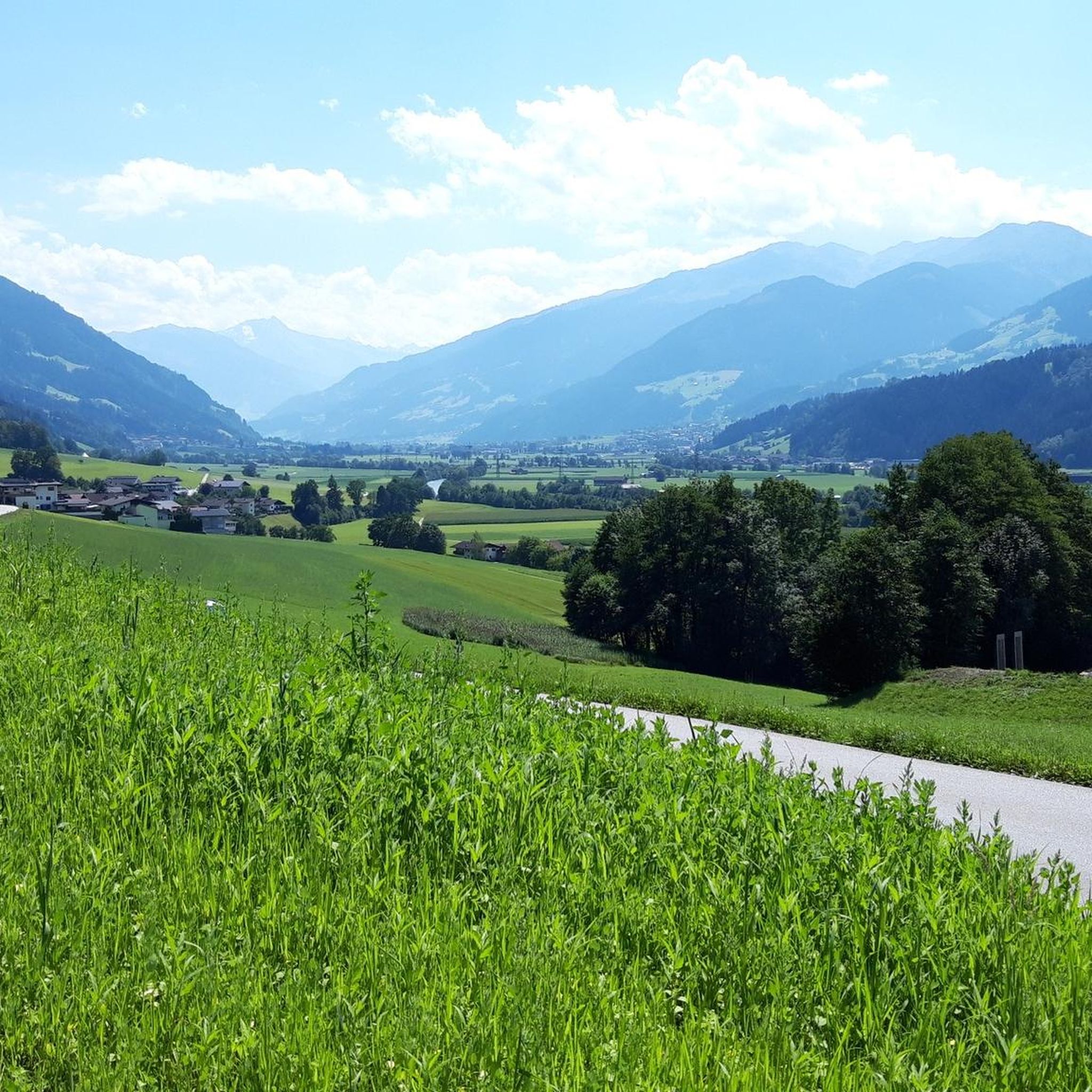
Cycling around Bruck am Ziller
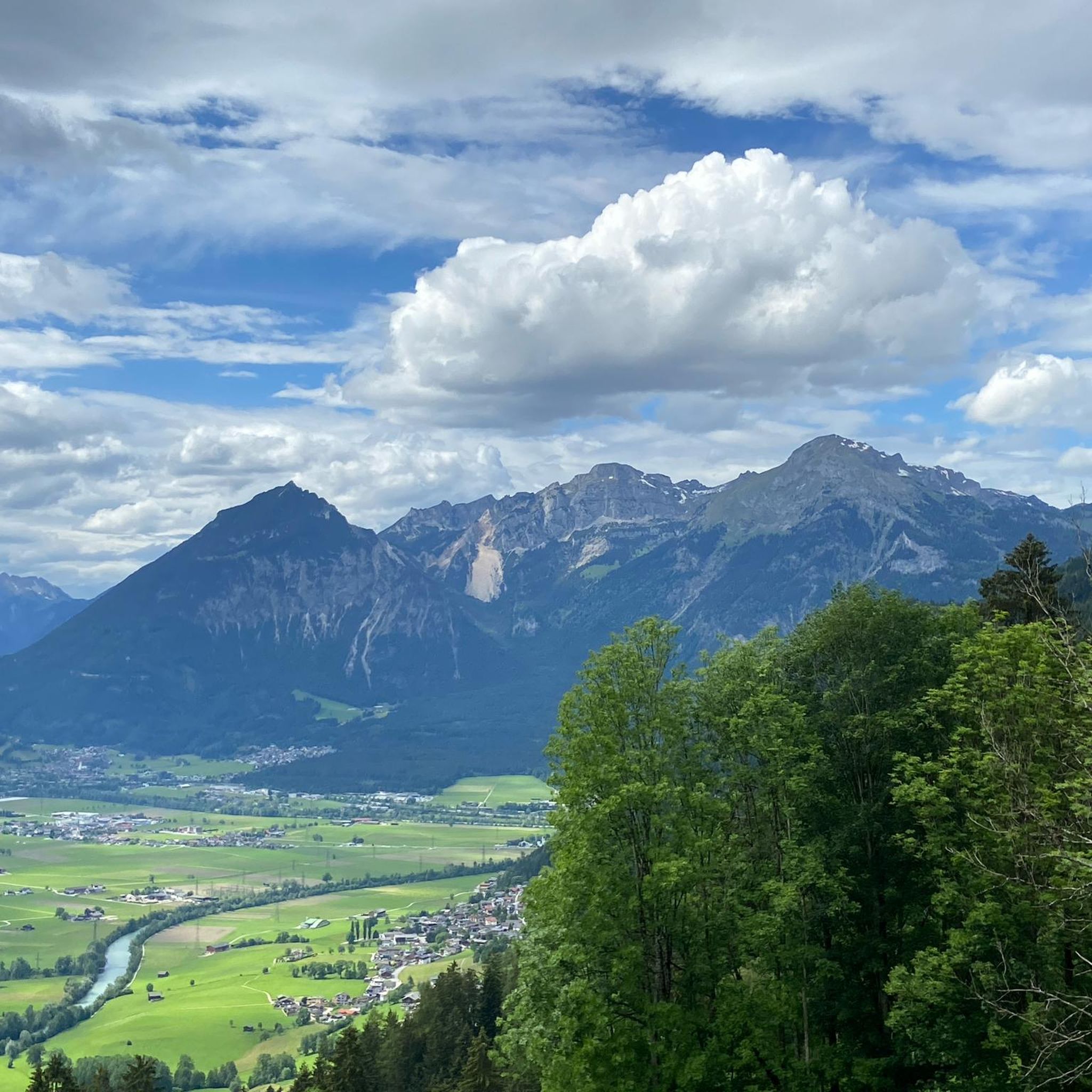
MTB Trails around Bruck am Ziller
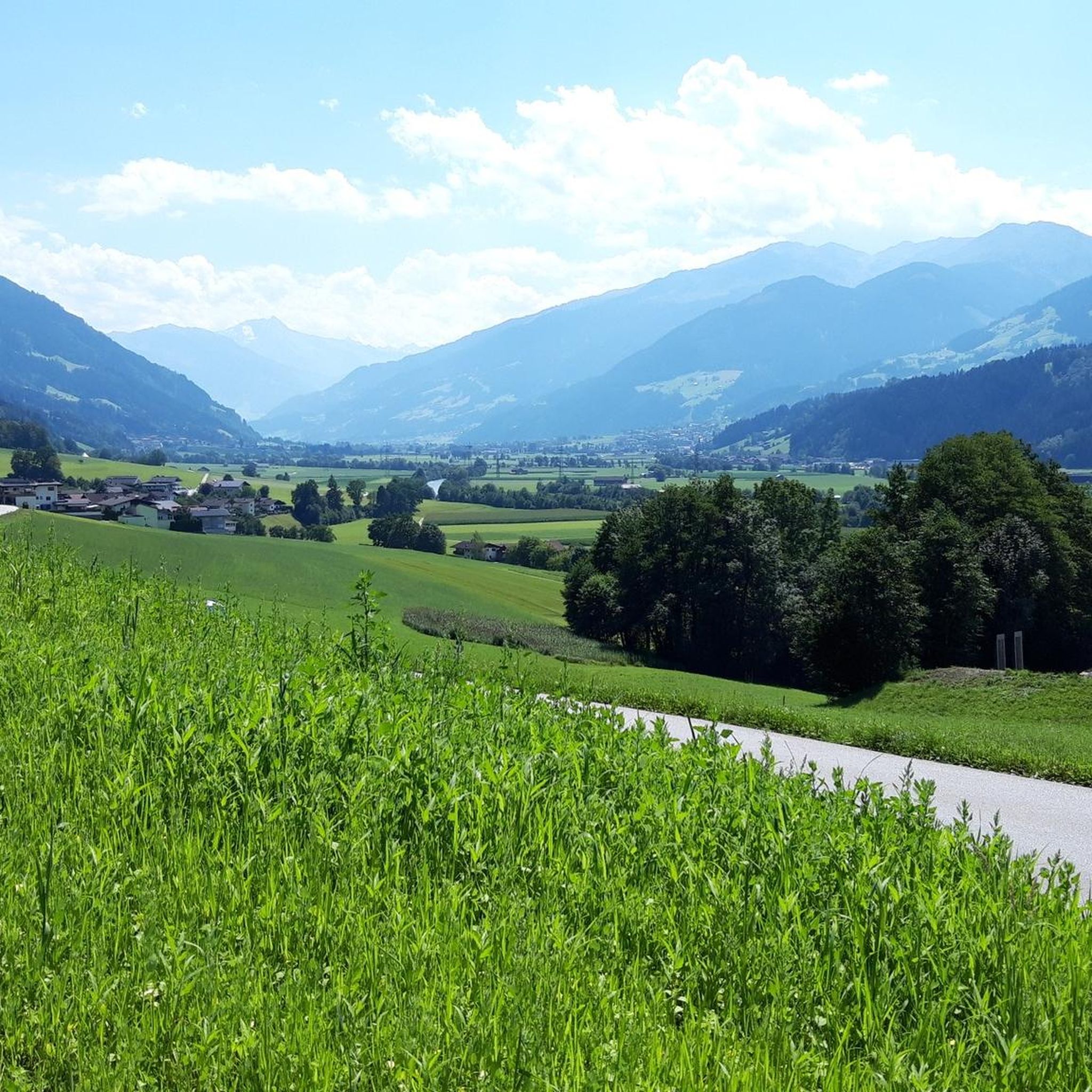
Hiking around Bruck am Ziller
Running Trails around Bruck am Ziller
Road Cycling Routes around Bruck am Ziller

Gravel biking around Bruck am Ziller
Mountain Hikes around Bruck am Ziller
Other adventures around Bruck am Ziller

Tips from the Community


Nice climb, the effort is rewarded by a beautiful view.
3
0

What a great view, my eyes are trying to take in all these impressions. I am thrilled and completely blown away.👍
0
0

Beautiful wide view and a small mountain lake nearby!
0
0

The Brandenberg Alps are a mountain group of the Northern Limestone Alps in the Eastern Alps. They are located in Austria in the federal state of Tyrol between Achensee, Inntal and the Bavarian Prealps. The highest elevation of the Brandenberg Alps is the Hochiss (2299 m above sea level) in the Rofan main ridge.
2
0
The Spieljoch is a 2236 meter high mountain in the Rofan, a subgroup of the Brandenberg Alps in the Austrian state of Tyrol. The summit lies in the west-east running main ridge of the Rofan Mountains. Its north side is formed by steep, massive and jagged rock sections, its western flank consists of steep scree and the east side consists of slabs interspersed with scree. The southern slope of the Spieljoch, on the other hand, is formed by a gently sloping grassy ridge. To the west, the mountain has a pronounced ridge.
0
0

A beautiful walk here will really relax you
1
1

On the way from the Dalfazalm to the Kotalm (or vice versa) you pass through the Stone Gate. A great hike in incredibly beautiful nature! By the way, it can be quite windy at the top of the passage :)
1
0
Frequently Asked Questions
What are the main mountain passes directly accessible from Bruck am Ziller?
The primary mountain pass directly associated with Bruck am Ziller is the Kerschbaumer Saddle. This pass, at 1,111 meters, connects the Alpbachtal and Zillertal, specifically linking Bruckerberg to the Alpbachtal valley. Other notable passes in the broader region include the Gerlos Alpine Road and the Zillertaler Höhenstraße, offering extensive panoramic drives.
What kind of views can I expect from the mountain passes around Bruck am Ziller?
From the Kerschbaumer Saddle, you can enjoy panoramic views of the Zillertal, Rofan, and Karwendel mountain ranges, as well as picturesque vistas across the Alpbachtal and Inntal valleys. Further ascents from the saddle, such as to the Reither Kogel, offer even more expansive views into the Zillertal. Another viewpoint, View of the Brandenberg Alps, provides a wonderful perspective of the surrounding Alps.
Are there challenging routes for experienced cyclists or mountain bikers near Bruck am Ziller?
Yes, the Kerschbaumer Saddle is a popular and demanding route for both road cyclists and mountain bikers. The climb from Bruck am Ziller features steep gradients, averaging around 10.7-10.9% and reaching up to 21% in some sections. Additionally, Stone Gate offers challenging trails with technical sections, including S2 and S3 terrain, appealing to experienced riders. For more cycling options, explore Gravel biking around Bruck am Ziller.
What hiking opportunities are available around the mountain passes?
Numerous hiking trails lead to and around the mountain passes. The Kerschbaumer Saddle area offers diverse routes suitable for various fitness levels, providing an excellent way to explore the Tyrolean Alps. The Marchgatterl Pass is an important crossroads for many hiking trails. You can find easy hikes like the 'Kerschbaumer Saddle – View of the Zillertal Valley loop' from Bruck am Ziller, which is 5.26 km long. For more options, check out Easy hikes around Bruck am Ziller.
Are there any amenities or resting spots on the mountain passes?
Near the top of the Kerschbaumer Saddle, you can find a spot to refill water bottles with cool, refreshing spring water, and several benches are available for a rest and a picnic. The Kerschbaumerhof nearby also offers a unique photo opportunity with its beautiful floral displays. The Saddle Between Knappensteig and Spieljoch also features a wooden bench for enjoying the magnificent view.
What is the best time of year to visit the mountain passes near Bruck am Ziller?
The best time to visit the mountain passes for hiking and cycling is generally from late spring to early autumn (May to October), when the weather is mild, and trails are clear of snow. During these months, you can fully enjoy the scenic views and outdoor activities. Winter offers opportunities for winter hiking, but conditions can be challenging and require appropriate gear.
Are there family-friendly options for exploring the mountain passes?
While some mountain passes offer challenging terrain, there are also easier routes suitable for families. For example, the 'Kerschbaumer Saddle – View of the Zillertal Valley loop' from Bruck am Ziller is an easy 5.26 km hike. The area around the Kerschbaumer Saddle provides diverse routes, some of which are suitable for various fitness levels, including families. Always check specific trail difficulties before heading out.
Can I bring my dog on the trails around the mountain passes?
Generally, dogs are welcome on many hiking trails in the Zillertal region, including those around the mountain passes. However, it's always recommended to keep dogs on a leash, especially in areas with livestock or wildlife, and to clean up after them. Check local regulations or specific trail signs for any restrictions before your visit.
Where can I find parking when visiting the mountain passes?
Parking availability varies by specific trailhead. For popular starting points to access mountain passes like the Kerschbaumer Saddle, you can often find designated parking areas in or near Bruck am Ziller or at the base of the ascents. It's advisable to check specific route descriptions or local tourist information for detailed parking locations.
What do visitors say about the mountain passes in this region?
Visitors appreciate the challenging yet rewarding experiences offered by the mountain passes. For instance, the climb to the Kerschbaumer Saddle is described as exhausting but rewarding on the descent, with refreshing spring water available at the top. The Stone Gate is noted for its 'Trailspektakel' with smooth, winding paths in steep terrain. The community has contributed over 165 photos and 340 upvotes, highlighting the beauty and appeal of these routes.
What kind of terrain can I expect on the mountain passes near Bruck am Ziller?
The terrain around the mountain passes near Bruck am Ziller is diverse. For example, the ascent to the Kerschbaumer Saddle involves a paved road that can be narrow in places, winding through charming landscapes with hay fields and cherry trees, featuring steep gradients. The Stone Gate is known for technical sections with S2 and S3 terrain, including scree underground, appealing to experienced riders.
Are there any specific permits required for hiking in the Zillertal Alps?
Generally, no specific permits are required for hiking on marked trails in the Zillertal Alps. However, always respect private property, follow local regulations, and be aware of any protected areas where access might be restricted or require special permission. It's always a good idea to check with local tourist information for the most current guidelines.
Most popular routes around Bruck am Ziller
Most popular attractions around Bruck am Ziller

Get inspired with the komoot mobile app


Explore more
See even more epic mountain passes by checking out these guides around Bruck am Ziller:
