The best road cycling routes around Eagle Mountain
3.6
(8)
459
riders
20
rides
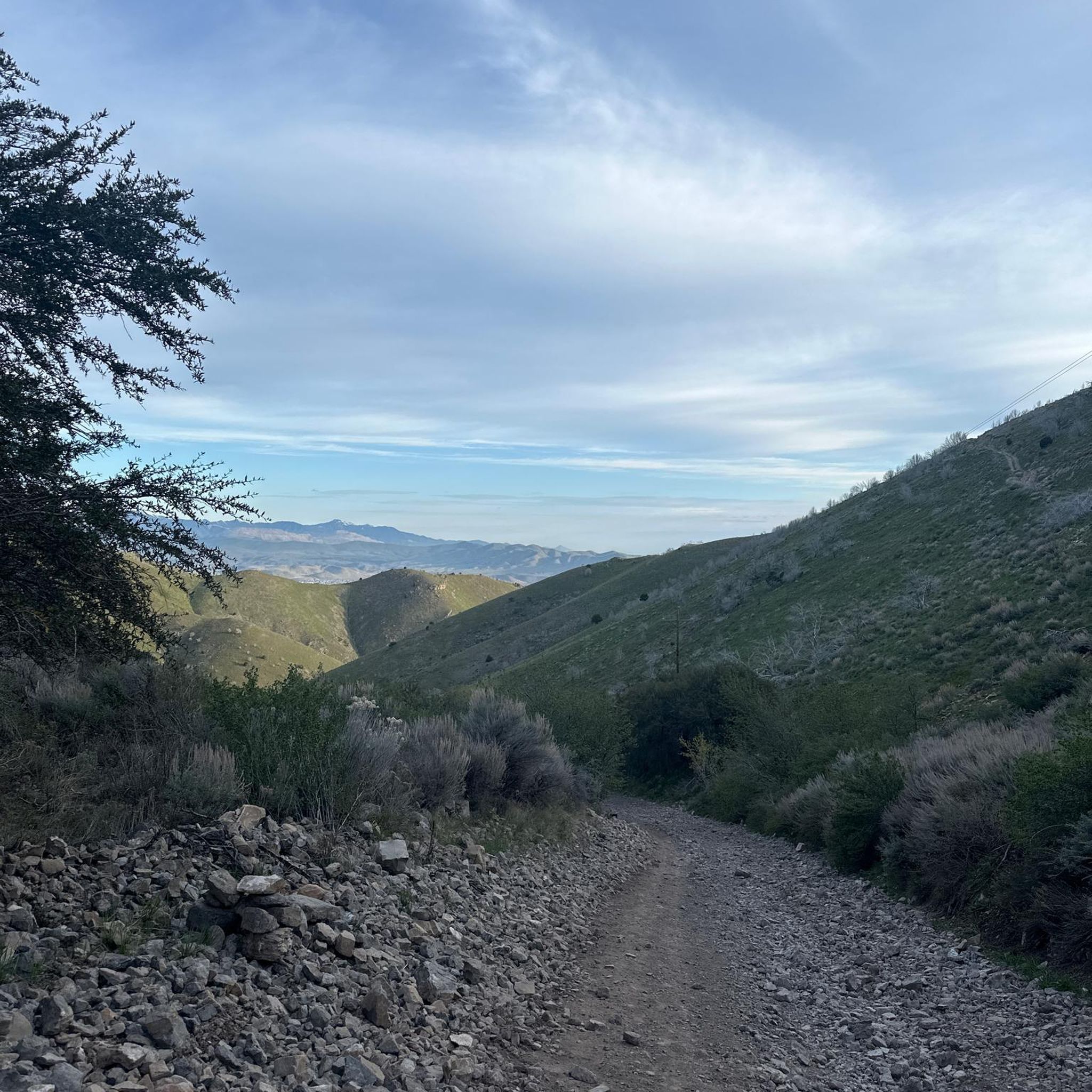
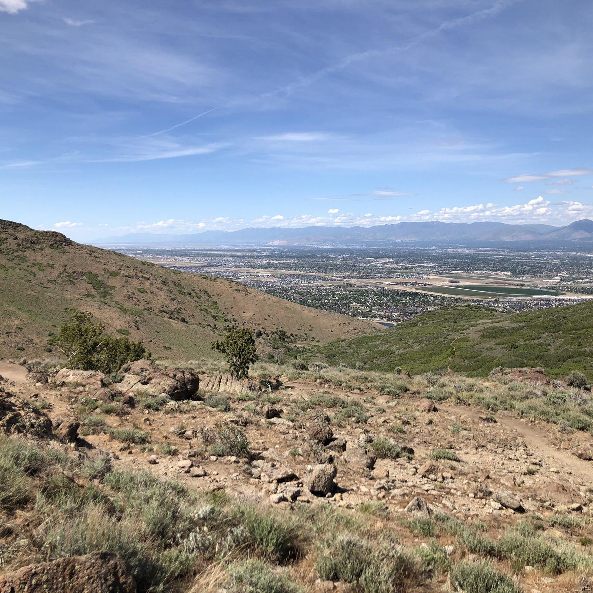
Road cycling routes around Eagle Mountain are set within a high desert landscape, characterized by rolling hills and expansive skies. The region offers an extensive network of paved trails, providing diverse options for cyclists. Views of the Oquirrh Mountains, Wasatch Mountains, and Mount Timpanogos are common along many routes. This area is known for its commitment to outdoor recreation, with routes ranging from easy to challenging.
Best road cycling routes around Eagle Mountain
- The most popular road cycling route is Murdock Canal Trail – Fox Hollow Golf Course loop from Lehi, a 15.7 miles (25.2 km) trail that takes 1 hour 6 minutes to complete. This easy route follows a paved canal path, offering consistent surfaces.
- Another top favourite among local road cyclists is Riverfront Parks – Jordan River Parkway Trail loop from Lehi, a moderate 38.0 miles (61.2 km) path. This route features riverfront scenery and urban park sections.
- Local road cyclists also love the Jordan River – Jordan River Parkway Trail loop from Pony Express Pky @ 3916 E, a 33.8 miles (54.4 km) trail leading through river parkways, often completed in about 2 hours 17 minutes.
- Road cycling around Eagle Mountain is defined by high desert landscapes, rolling hills, and views of the Wasatch Mountains. The network offers options for various ability levels, from easy rides to more challenging routes with significant elevation gains.
- The routes in Eagle Mountain are highly rated by the komoot community with an average score of 4.6 stars from 6 reviews. More than 300 road cyclists have used komoot to explore Eagle Mountain's varied terrain.
Last updated: June 29, 2026
4.0
(4)
127
riders
Moderate road ride. Good fitness required. Mostly well-paved surfaces and easy to ride.
4.0
(3)
45
riders
Moderate road ride. Good fitness required. Mostly well-paved surfaces and easy to ride.

Sign up for free
5.0
(1)
21
riders
27.5km
01:15
250m
250m
Easy road ride. Great for any fitness level. Mostly well-paved surfaces and easy to ride.
3.0
(1)
28
riders
23.7km
00:59
60m
60m
Easy road ride. Great for any fitness level. Mostly well-paved surfaces and easy to ride.
27
riders
Easy road ride. Great for any fitness level. Mostly well-paved surfaces and easy to ride.
Get access to more routes and recommendations from other explorers.
Sign up for free
Already have an account?
Our route recommendations are based on thousands of hikes, rides, and runs completed by other people on komoot.
Start today with a free account
Your next adventure awaits.
Login or Signup


Tips from the Community

Provo River Parkway is a smooth, paved trail that follows the Provo River through canyons and parks. It’s mostly flat with gentle climbs, offering plenty of shade and scenic river views. This segment passes by Glen Park—an easy spot to refill water bottles or have a snack at the picnic tables.
1
0
Parry Farms Park is a nice place to chill and can serve as the final destination for your ride—after this point, you’ll need to head back along the bike path to the right. Public toilets are available here.
1
0
As you roll along the Jordan River Parkway, slip into the Mystic Springs Wetland Educational Area—a peaceful, developing 30-acre space of ponds, interpretive trails, and wildlife habitat
0
0
This small beach is tucked along the Jordan River basin, just before it flows into Utah Lake. It offers nice views of the mountains and the river—making it a good spot for a break and a quick photo.
0
0

The Riverfront Parks complex features the Riverfront Park Fishing Ponds, Riverfront West Park, and Riverfront East Park. These green spaces are situated along the paved Jordan River Parkway Trail. It’s a scenic stretch of natural beauty right in the heart of the city.
0
0
The Jordan River Parkway Trail is a scenic, multi-use path that stretches over 45 miles through the Salt Lake Valley in Utah. It follows the course of the Jordan River, connecting a series of parks, wetlands, and urban areas. Ideal for walking, running, and cycling, the trail offers a mix of natural beauty and city views along its route.
0
0

For me, this is the maximum or final point of the route. After this point, you will have to go back along the bike path that goes to the right.
0
0

The Galena/Soónkahni Preserve is a beautiful 250-acre property in Salt Lake County. It is adjacent to the stunning Jordan River and boasts various riparian and wetland habitats with the incredible backdrop of the mountains. The preserve also features an archaeological site with ancient dwellings and artifacts that are among the oldest in Utah. The Jordan River Parkway Trail runs through the property, offering breathtaking views for an ideal spot for a long ride.
0
0
Frequently Asked Questions
How many road cycling routes are available in Eagle Mountain?
Eagle Mountain offers over 25 road cycling routes, catering to various skill levels. These routes are part of an extensive network of paved trails designed for outdoor recreation.
What is the best time of year for road cycling in Eagle Mountain?
The semi-arid climate of Eagle Mountain, with hot summers and cold, snowy winters, makes spring and fall particularly ideal seasons for road cycling. The weather during these times is generally pleasant for outdoor activities.
Are there road cycling routes suitable for beginners in Eagle Mountain?
Yes, Eagle Mountain has several easy routes perfect for beginners. For instance, the Murdock Canal Trail – Fox Hollow Golf Course loop from Lehi is an easy 15.7-mile (25.2 km) route that follows a paved canal path, offering consistent surfaces and minimal elevation changes.
What about more challenging routes for experienced cyclists?
Experienced cyclists can find routes with significant elevation gains and longer distances. While many routes are paved, some may encounter unpaved segments. The "Eagle Mountain Classic - Extended Edition" is noted for its considerable climbs and descents, showcasing diverse terrain.
Can I find family-friendly road cycling routes in Eagle Mountain?
Many of Eagle Mountain's paved trails are suitable for families. Routes with consistent, flat surfaces, like sections of the Murdock Canal Trail, are great options. The city's parks, such as Mount Airey Park and Westview Heights Park, also offer recreational spaces near some trails.
Are there any loop routes for road cyclists?
Yes, many road cycling routes in Eagle Mountain are designed as loops. Examples include the Riverfront Parks – Jordan River Parkway Trail loop from Lehi, a moderate 38.0-mile (61.2 km) path, and the Jordan River – Jordan River Parkway Trail loop from Pony Express Pky @ 3916 E, which is 33.8 miles (54.4 km) long.
What kind of landscapes and natural features can I expect to see while cycling?
Road cycling in Eagle Mountain offers picturesque views of a high desert landscape, characterized by rolling hills and expansive skies. You'll often see the Oquirrh Mountains, Wasatch Mountains, and Mount Timpanogos in the distance. The area features a mix of desert flora and open spaces with numerous scenic overlooks.
Are there any specific attractions or parks along the routes?
While cycling, you might pass by various city parks such as Mount Airey Park, Cedar Pass Ranch Park, and Westview Heights Park. The Eagle Mountain Parks & Recreation website provides more details on these amenities.
Where can I find parking for road cycling trails in Eagle Mountain?
Parking is generally available at various trailheads and public parks throughout Eagle Mountain. Specific parking information for individual routes can often be found on detailed route descriptions or local city maps. Many community parks offer convenient access points to the paved trail network.
Is public transport available to reach the cycling trails?
Public transport options directly to specific trailheads in Eagle Mountain may be limited. It is advisable to check local transit authority websites for the most current information regarding bus routes or other services that might connect to the general Eagle Mountain area.
Are there any cafes or amenities near the road cycling routes?
Eagle Mountain is a growing community with various amenities. While specific cafes directly on remote trail sections might be scarce, you can find dining options and other services within the city's developed areas, often a short ride from the main trail network.
What do other cyclists say about road cycling in Eagle Mountain?
The road cycling routes in Eagle Mountain are highly rated by the komoot community, with an average score of 4.6 stars from 6 reviews. Cyclists often praise the varied terrain, the extensive network of paved trails, and the scenic views of the surrounding mountains.
Are dogs allowed on the road cycling trails?
Many of Eagle Mountain's outdoor trails are dog-friendly, provided dogs are kept on a leash. The city also features the Eagle Mountain Dog Park for dedicated off-leash play. Always check specific trail regulations for any restrictions before heading out with your pet.
Most popular routes around Eagle Mountain

Get inspired with the komoot mobile app


Explore more
Browse the best Road cycling routes in other regions.
