The best walks and hikes around Fort Bliss
4.6
(12)
161
hikers
21
hikes
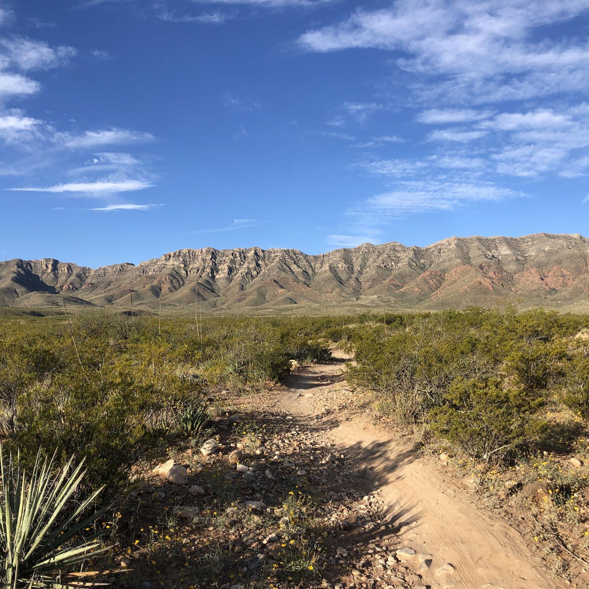
Hiking around Fort Bliss offers access to diverse and rugged natural landscapes, primarily characterized by the Chihuahuan Desert ecosystem and the Franklin Mountains. The region features a mix of desert terrain, unique geological formations, and significant elevation changes. Franklin Mountains State Park, a prominent feature, provides extensive trails within El Paso's city limits. This area is defined by its arid environment, including various cacti, yuccas, and ocotillo, alongside rocky mountain paths.
Best hiking trails around Fort Bliss
- The most popular…
Last updated: June 25, 2026
2
hikers
7.71km
02:19
260m
250m
Moderate hike. Good fitness required. Easily-accessible paths. Suitable for all skill levels.
1
hikers
2.84km
00:43
0m
0m
Easy hike. Great for any fitness level. Easily-accessible paths. Suitable for all skill levels.

Sign up for free
1.17km
00:23
80m
20m
Easy hike. Great for any fitness level. Easily-accessible paths. Suitable for all skill levels.
3.87km
01:11
170m
90m
Easy hike. Great for any fitness level. Easily-accessible paths. Suitable for all skill levels.
1.03km
00:56
260m
0m
Hard hike. Great for any fitness level. Sure-footedness, sturdy shoes and alpine experience required.
Get access to more routes and recommendations from other explorers.
Sign up for free
Already have an account?
Our route recommendations are based on thousands of hikes, rides, and runs completed by other people on komoot.
Start today with a free account
Your next adventure awaits.
Login or Signup



Tips from the Community

McKelligon Canyon Road is a completely paved road that is open to foot traffic, bikes, and motor vehicles. There is a wide bike lane the entirety of the road for pedestrians to use. You can even park right at the base of the canyon climb, or you can add this onto your run from town.
0
0
The Thousand Steps Trail is a popular hiking trail on the outskirts of Franklin Mountains State Park. It's easy to connect this trail to other nearby trails to make it a longer run. It's a rocky trail but easy to follow. It's definitely steep in places so be ready for some steep uphill hiking and steep descents!
0
0
The Thousand Steps Trail is a popular hiking trail on the outskirts of Franklin Mountains State Park. It's easy to connect this trail to other nearby trails or just do it as a standalone hike. It's a rocky trail but easy to follow. It's definitely steep in places so only go uphill if you feel comfortable doing the same trail downhill!
0
0
At the base of McKelligon Canyon is the start for the route up Sugarloaf Mountain. The trail uses rock cairns and red trail markers to help users stay on the right path, but this trail can be easy to lose and requires a small scramble at the top. The mountain tops out at 5,226 feet and has an old hut with great views of the foothills marking the top.
1
0
McKelligon Canyon Road is a completely paved road that is open to foot traffic, bikes, and motor vehicles. There is a wide bike lane the entirety of the road for pedestrians to use. This is a really popular area for walking and running, and you can even park right at the base of the canyon climb.
0
0
Frequently Asked Questions
How many hiking trails are available around Fort Bliss?
There are 10 hiking routes available around Fort Bliss, offering a variety of experiences within the Chihuahuan Desert and Franklin Mountains.
What is the overall difficulty level of hiking trails near Fort Bliss?
The trails around Fort Bliss cater to various skill levels. You'll find 3 easy routes, 5 moderate routes, and 2 difficult routes, ensuring options for both casual walkers and experienced hikers.
What do other hikers say about the trails around Fort Bliss?
The hiking routes around Fort Bliss are highly rated by the komoot community, with an average score of 4.6 stars from over 10 reviews. Hikers often praise the diverse terrain and scenic views, especially within Franklin Mountains State Park.
Are there easy hiking options suitable for beginners or families near Fort Bliss?
Yes, several easy options are available. The Thousand Steps Trail loop — Franklin Mountains State Park is an easy 2.7-mile path known for its rocky terrain and connections to longer trails. For a paved, moderate option, consider McKelligon Canyon Road — Franklin Mountains State Park.
Where can I find more challenging hikes around Fort Bliss?
For a more challenging experience, consider routes that ascend the Franklin Mountains. The South Franklin Mountain via Ron Coleman Trail — Franklin Mountains State Park is a 5.0-mile trail through rugged mountain terrain, offering significant elevation gain and panoramic views.
What natural features or landmarks can I expect to see while hiking near Fort Bliss?
Hikers can explore the rugged beauty of the Chihuahuan Desert and the Franklin Mountains. Notable features include the Thousand Steps Trail, McKelligon Canyon Road, and the South Franklin Mountain summit. You might also encounter unique desert flora like ocotillo and various cacti.
Are there any loop trails available for hiking near Fort Bliss?
Yes, there are several loop trails. The Thousand Steps Trail loop — Franklin Mountains State Park is a popular easy option. For a moderate challenge, consider the Ranger Peak Loop via Thousand Steps Trail — Franklin Mountains State Park.
What is the best time of year to go hiking around Fort Bliss?
The best times to hike near Fort Bliss are during the mild springs and falls. The predictable weather during these seasons allows for comfortable exploration of the desert and mountain trails.
Can I bring my dog on the hiking trails near Fort Bliss?
Many trails in the Franklin Mountains State Park are dog-friendly, but it's always best to check specific park regulations and trail rules before you go. Ensure your dog is on a leash and you carry enough water for both of you, especially in the desert environment.
What kind of wildlife might I encounter on hikes near Fort Bliss?
The Chihuahuan Desert ecosystem supports diverse wildlife. Hikers might spot over 100 species of birds, coyotes, small desert mammals, and mule deer. Mountain lions are also present but rarely seen.
Are there any historical sites or unique geological features to explore?
Beyond the Franklin Mountains, Hueco Tanks State Park & Historic Site, about 35 miles from Fort Bliss, offers unique rock formations and thousands of ancient pictographs. Within Franklin Mountains State Park, you can find the El Paso Tin Mines Trail, leading to remnants of abandoned mines, and the B-36 Crash Site Overlook, a memorial to a 1953 bomber crash.
Where can I find information about parking and public transport for trailheads?
Parking is generally available at trailheads within Franklin Mountains State Park. For detailed information on parking and any potential public transport options to specific trailheads, it's recommended to check the official El Paso Parks and Recreation website: elpasotexas.gov/parks.
Most popular attractions around Fort Bliss

Get inspired with the komoot mobile app


