The 4 Most Amazing Peaks around Hartberg Umgebung
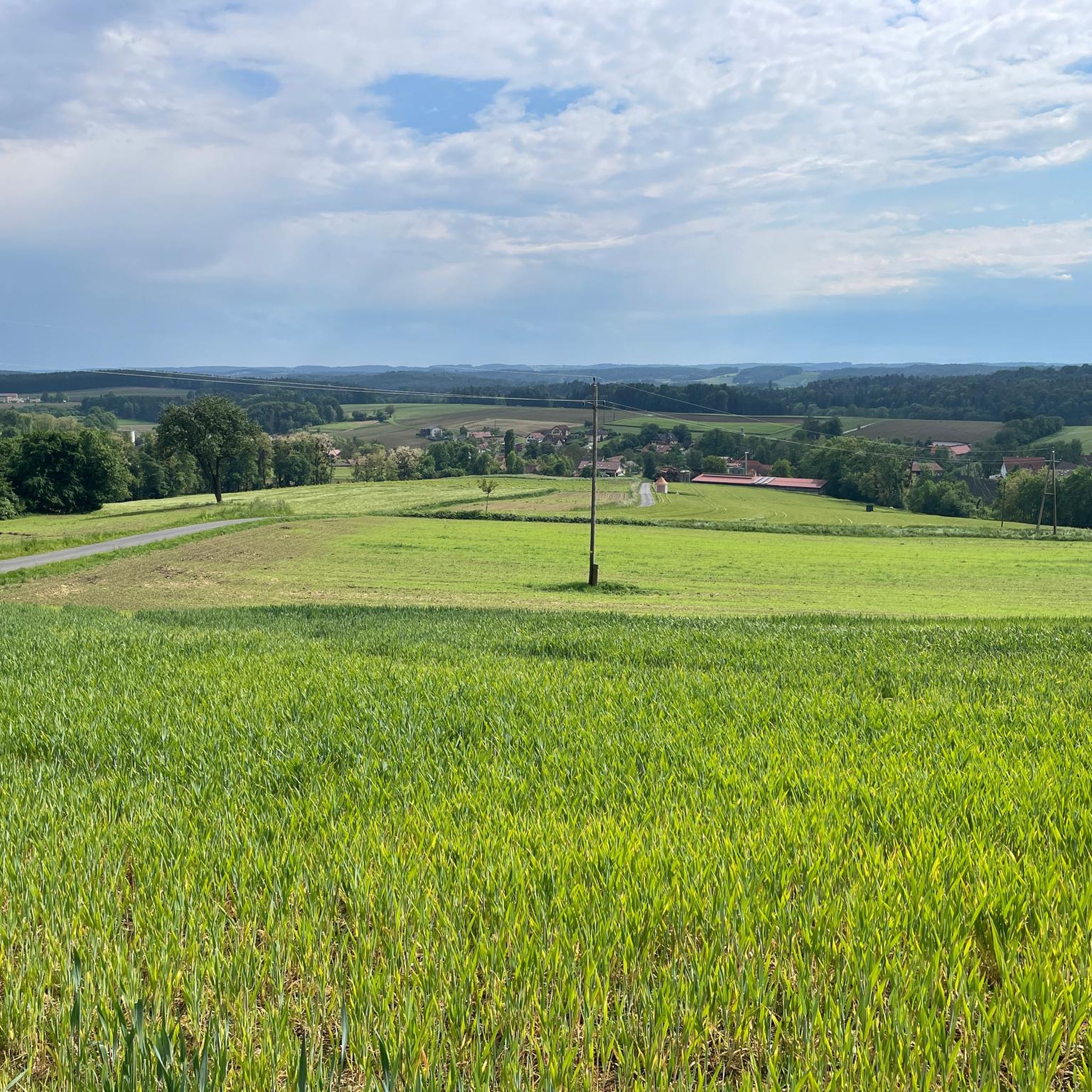
Best mountain peaks around Hartberg Umgebung are found in Styria, Austria, a region offering diverse landscapes and elevated points. The area features marked hiking trails that connect natural attractions with historical and cultural sites. Elevations range from 340 meters to 860 meters, providing varied terrain for exploration. This region combines natural beauty with cultural heritage, including vineyards and historical landmarks.
Best mountain peaks around Hartberg Umgebung
- The most popular mountain peaks is Ringwarte Observation Tower, a viewpoint that offers…
Last updated: July 1, 2026
Ringwarte Observation Tower
Highlight • Viewpoint
Translated by Google •
Tip by

Freiberger Wetterkreuz
Highlight • Summit
Translated by Google •
Tip by

Sign up now to discover places like this
Get recommendations on the best single tracks, peaks, & plenty of other exciting outdoor places.
Sign up for free
Wullmenstein Summit
Highlight • Summit
Translated by Google •
Tip by

Annenkogel Summit Cross
Highlight • Summit
Translated by Google •
Tip by
Long Ridge
Highlight • Summit
Tip: Long trousers are not a …
Showing Translation
Tip by

Sign up for free to discover even more peaks around Hartberg Umgebung.
Sign up for free
Already have an account?
Start today with a free account
Your next adventure awaits.
Login or Signup

Tips from the Community

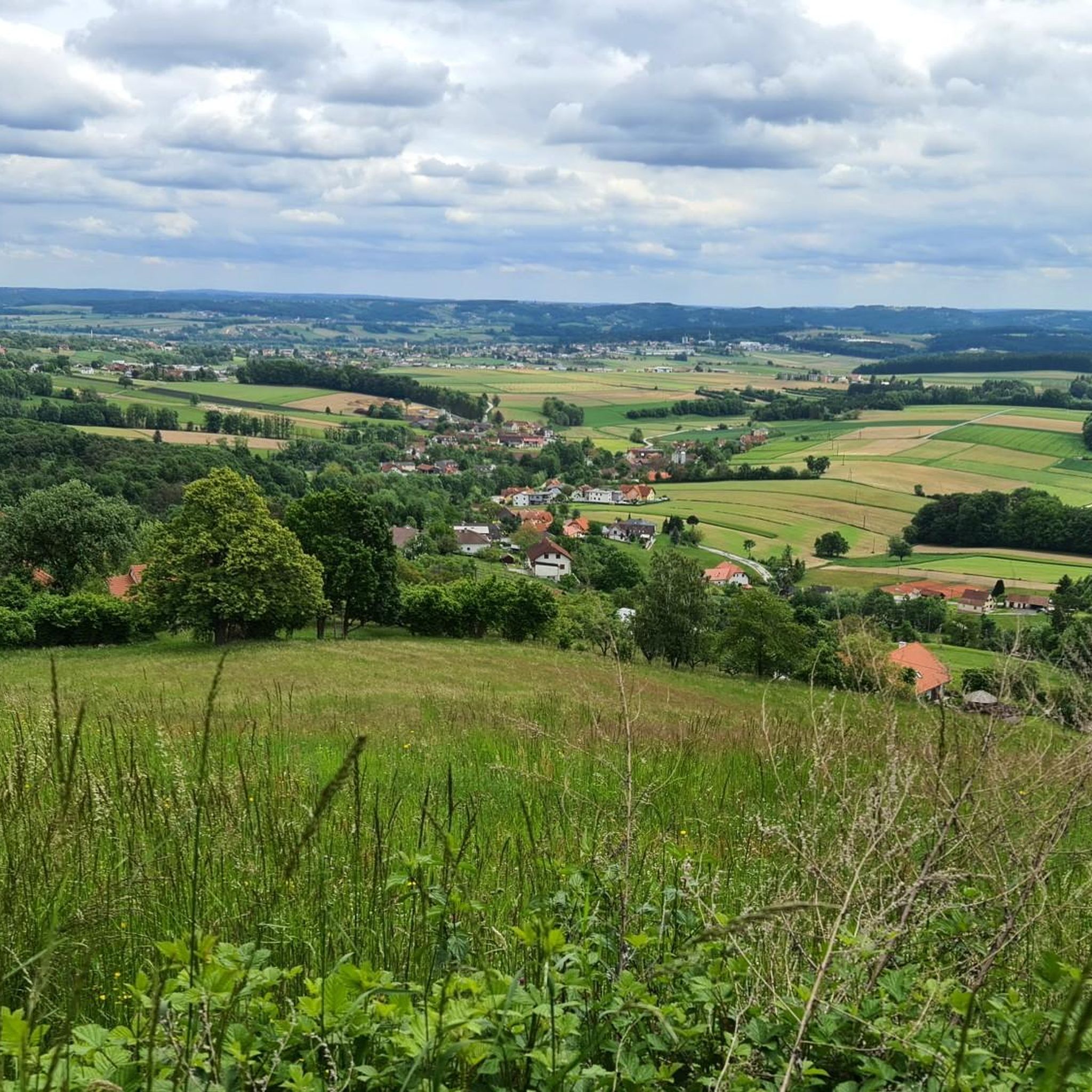
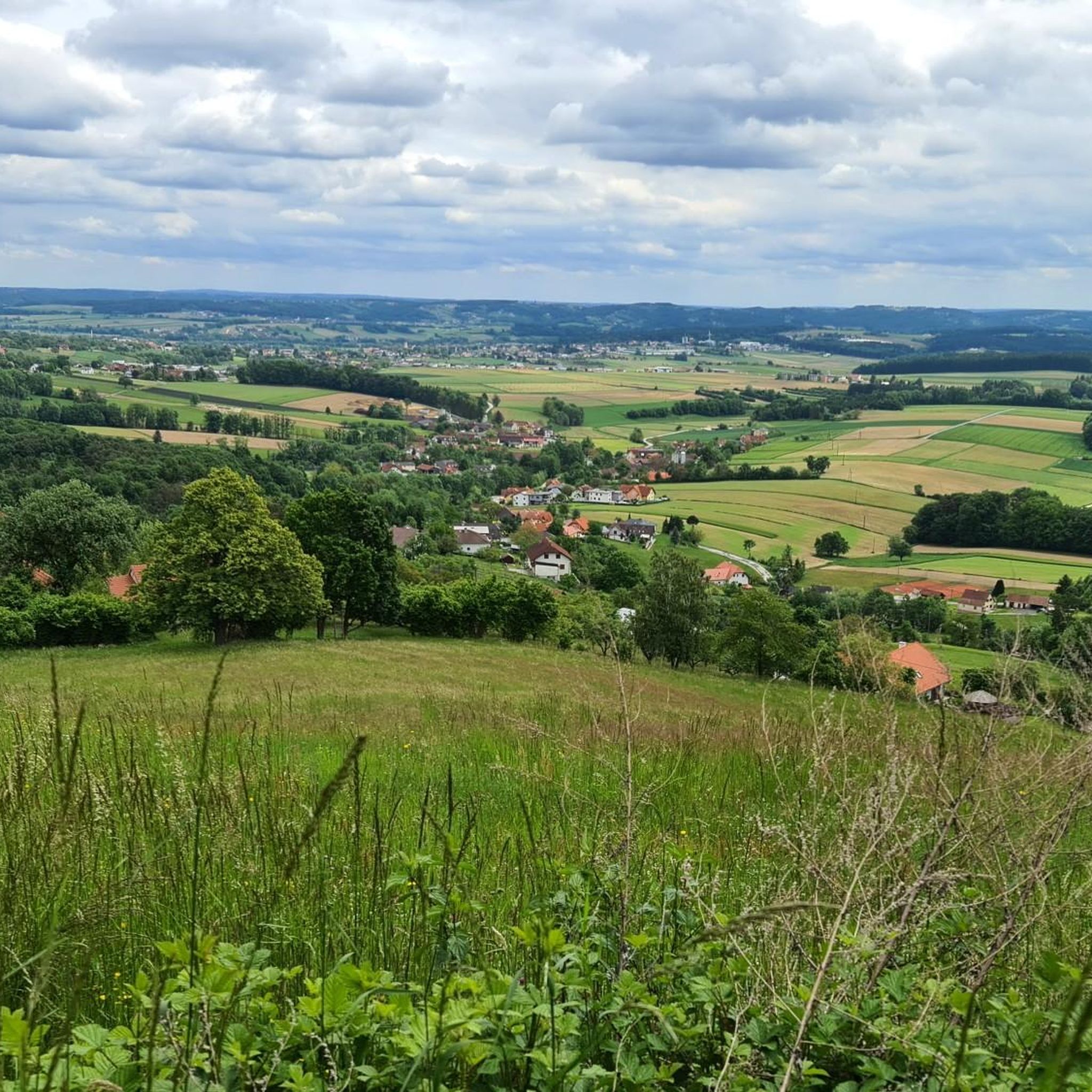
View? No. Summit cross? Definitely not. But hey - whoever stands here in the bushes at least has the "summit" in their collection 😎 Tip: Long trousers are not a disadvantage here. Tall grass and blackberry bushes. I was, of course, wearing shorts...
0
0

My pleasure tour every year, car to service and in the meantime a great MTB tour to the Ringkogel and of course with a stop at the nice landlady. A further ride to the Masenberg is recommended, everything is well signposted. The Glückskapelle and above it the summit cross, a true power spot. There is also a refreshment stop to strengthen you for the return journey. Then there is the possibility to go to Pöllauberg and back to Hartberg via the Pöllauberg cycle path, or with a few more meters of altitude, as shown in my tour profile, by crossing the ridge and along the back of the Ringkogel (east side) back to Hartberg. With a small round trip in the city center, cycling is allowed everywhere!! how nice! There is also wonderful Illy coffee, it was a successful, beautiful day.
0
0

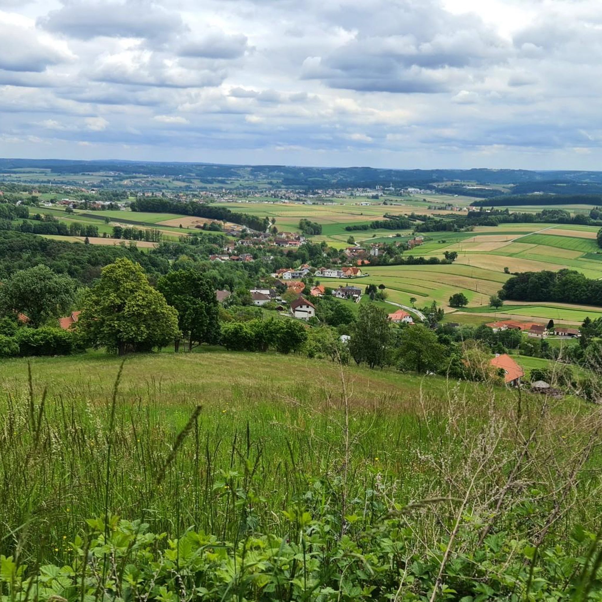
The view from the top is really beautiful on a clear day, like we had.
0
0

Annenkogel is a peak in the Hartberg area, Hartberg-Fürstenfeld district, Styria and has a terrain elevation of 860 meters. Annenkogel is located near Ertlhöf and St. Anna.
0
0
There is a great chance of seeing a rare butterfly here: the swallowtail. On our tour, two of them turtled next to the lookout tower.
0
0
Interesting "summit cross". Great place for a break.
0
0

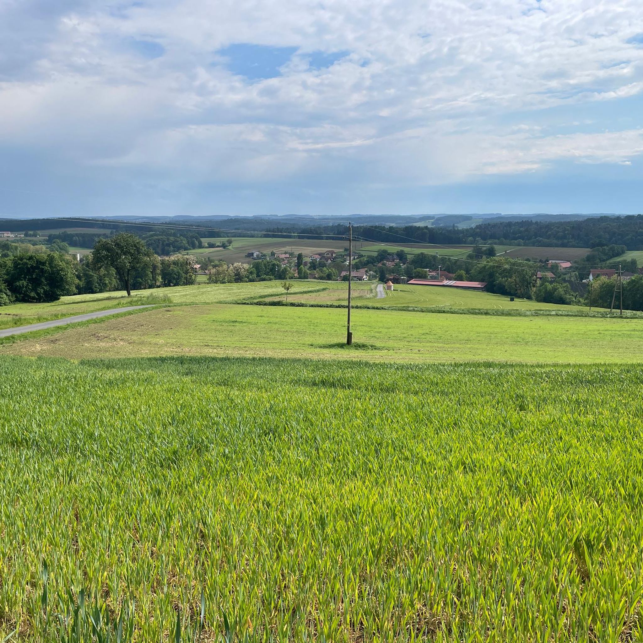
The weather cross is visible from afar. If you drive down from Buchkogel, you can still drive past easily. It would be a shame, it is worth stopping here for a moment and enjoying the view of the valley.
1
0
Great destination. Reachable in about 1.5 hours from Hartberg. Great all-round view on the observation tower.
0
0
Frequently Asked Questions
What are some of the most popular mountain peaks or viewpoints in Hartberg Umgebung?
Visitors to Hartberg Umgebung frequently enjoy the Ringwarte Observation Tower, which offers magnificent panoramic views from its 30-meter high wooden structure. Another popular spot is Wullmenstein Summit, known for its accessible peak and easy circular hike. The Freiberger Wetterkreuz is also a notable summit and natural monument, offering great views of the valley.
Are there easy or family-friendly mountain peaks to explore in Hartberg Umgebung?
Yes, Wullmenstein Summit is particularly recommended for its easy circular hike and accessible summit, making it suitable for shorter excursions and families. The Ringwarte Observation Tower also provides an accessible way to enjoy panoramic views without a strenuous climb, with a small entrance fee.
What kind of terrain can I expect on mountain trails in Hartberg Umgebung?
The region features a diverse landscape with elevations ranging from 340 meters to 860 meters above sea level. You can expect marked hiking trails that pass through forests, open areas, and connect natural attractions with historical sites. While some peaks like Wullmenstein offer easy circular hikes, others may involve more moderate ascents.
What cultural or historical sites can I find near the mountain peaks in Hartberg Umgebung?
The marked hiking trails in Hartberg Umgebung often connect natural beauty with cultural heritage. You can find historical sites such as the Roman Villa Rustica, Neuberg Castle, and the pilgrimage church of St. Anna integrated into the trail network, offering a rich experience beyond just the peaks.
What outdoor activities can I do near these mountain peaks?
Besides hiking to the peaks, Hartberg Umgebung offers a variety of outdoor activities. You can find numerous cycling routes, including road cycling and touring bicycle options, as well as running trails. For detailed routes, explore the Road Cycling Routes around Hartberg Umgebung, Cycling around Hartberg Umgebung, and Running Trails around Hartberg Umgebung guides.
Are there specific hiking trails near the mountain peaks in Hartberg Umgebung?
Yes, the region boasts 35 kilometers of marked hiking trails. For instance, an easy circular hike leads to Wullmenstein Summit. Many trails also lead to viewpoints like the Ringwarte Observation Tower, offering diverse options for hikers.
What natural features are prominent in the Hartberg Umgebung mountain area?
The Hartberg Umgebung region is characterized by a beautiful recreational area with a diverse cultural landscape. Beyond the mountain peaks, you'll find vineyards and the Haidenwald. The area's natural features include forests, valleys, and scenic vistas from various elevated points.
What do visitors enjoy most about the mountain peaks and viewpoints in Hartberg Umgebung?
Visitors particularly enjoy the panoramic views offered from spots like the Ringwarte Observation Tower, often noting that the small entrance fee is well worth the experience. The sense of accomplishment from reaching summits like Wullmenstein Summit and the opportunity for a break with views at places like Freiberger Wetterkreuz are also highly appreciated.
Is there a specific peak known for a summit cross in the region?
Yes, both Freiberger Wetterkreuz and Annenkogel Summit Cross are known for their prominent summit crosses. The Freiberger Wetterkreuz is described as an interesting "summit cross" and a great place for a break, while Annenkogel is a prominent peak in the Hartberg area featuring its own summit cross.
What are the operating hours and cost for the Ringwarte Observation Tower?
The Ringwarte Observation Tower is open from 10 o'clock. There is a small entrance fee of one euro to access the viewing platform.
Are there any other notable summits besides the most popular ones?
Beyond the most popular spots, Annenkogel is another summit in the Hartberg area, located near Ertlhöf and St. Anna. While it may not have a summit cross, it still offers a rewarding feeling of reaching a peak and provides views.
Most popular routes around Hartberg Umgebung
Most popular attractions around Hartberg Umgebung

Get inspired with the komoot mobile app


Explore more
See even more amazing summits around Hartberg Umgebung with these guides:
