Breitenau am Hochlantsch
Breitenau am Hochlantsch
The 20 Most Amazing Peaks around Breitenau am Hochlantsch
Best mountain peaks around Breitenau am Hochlantsch are situated in the Styrian mountains, a region known for its diverse landscapes. The area is dominated by the Hochlantsch, the highest mountain in the Graz Highlands, offering extensive views. This region provides varied hiking opportunities across its mountainous terrain, including the Almenland Nature Park. The peaks here are characterized by their natural features and offer panoramic vistas.
Best mountain peaks around Breitenau am Hochlantsch
- The most popular mountain peaks is Hochlantsch Summit…
Last updated: October 11, 2026
Heulantsch Summit
Highlight • Summit
Translated by Google •
Tip by

Hochlantsch Summit
Highlight • Summit
Translated by Google •
Tip by

Sign up now to discover places like this
Get recommendations on the best single tracks, peaks, & plenty of other exciting outdoor places.
Leopold-Wittmaier Hut
Highlight • Mountain Hut
Translated by Google •
Tip by

Rote Wand Summit
Highlight • Summit
Although the red wall can also be …
Translated by Google •
Tip by

Teufelstein summit and rock formation
Highlight • Summit
Translated by Google •
Tip by

Sign up for free to discover even more peaks around Breitenau am Hochlantsch.
Already have an account?
Start today with a free account
Your next adventure awaits.
Popular around Breitenau am Hochlantsch

Central Alps Trail Eastern Section – Discover Austria
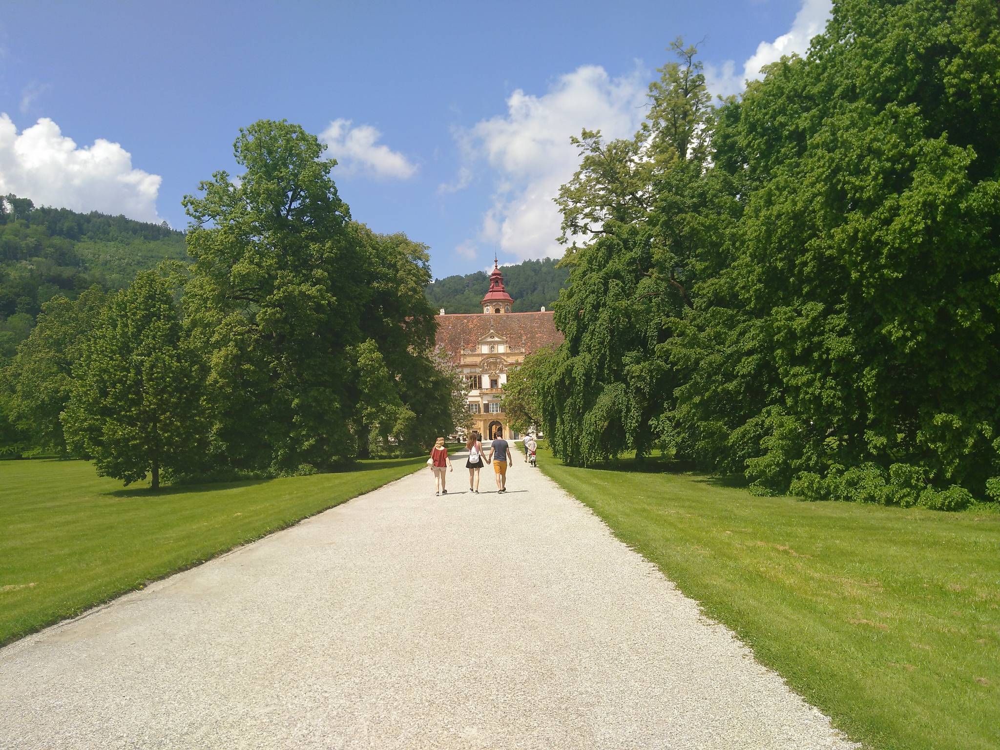
The Styrian Mariazell Way – a pilgrim's hike through southeastern Austria

Discover Styria in Austria on foot – ‘From Glacier to Wine’ North Route
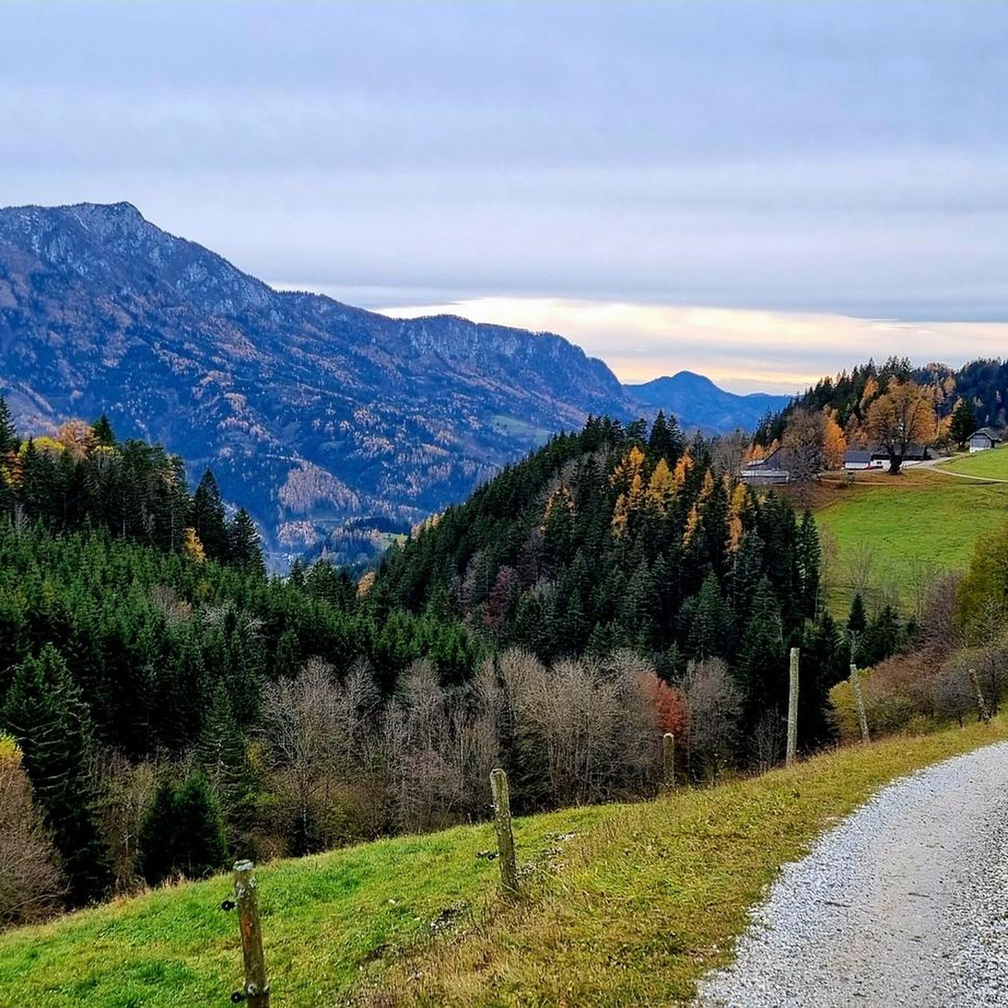
Hiking around Breitenau am Hochlantsch
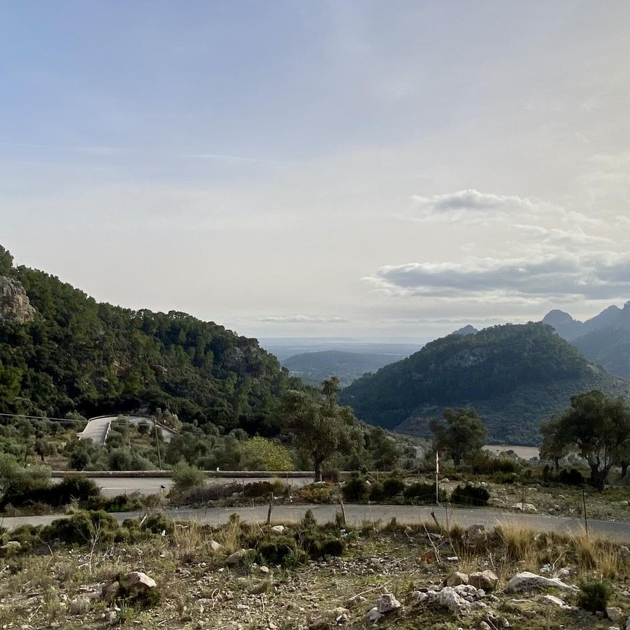
Mountain Hikes around Breitenau am Hochlantsch
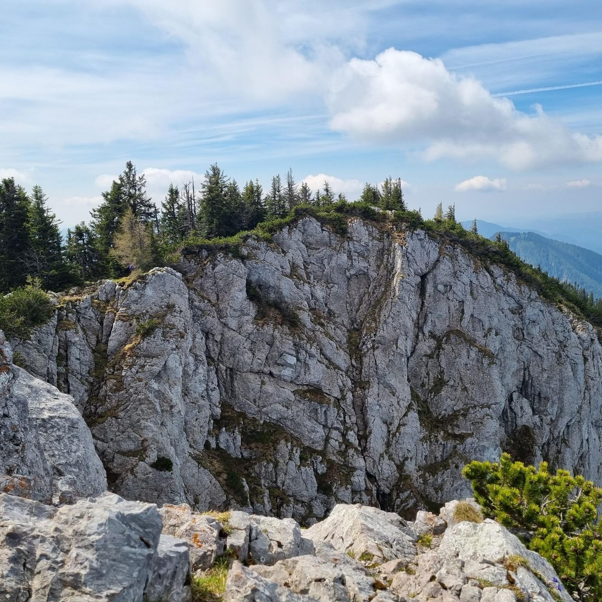
Running Trails around Breitenau am Hochlantsch
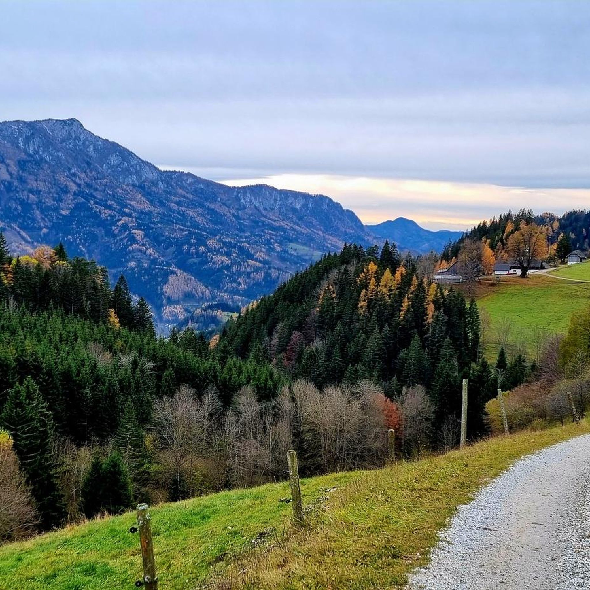
MTB Trails around Breitenau am Hochlantsch
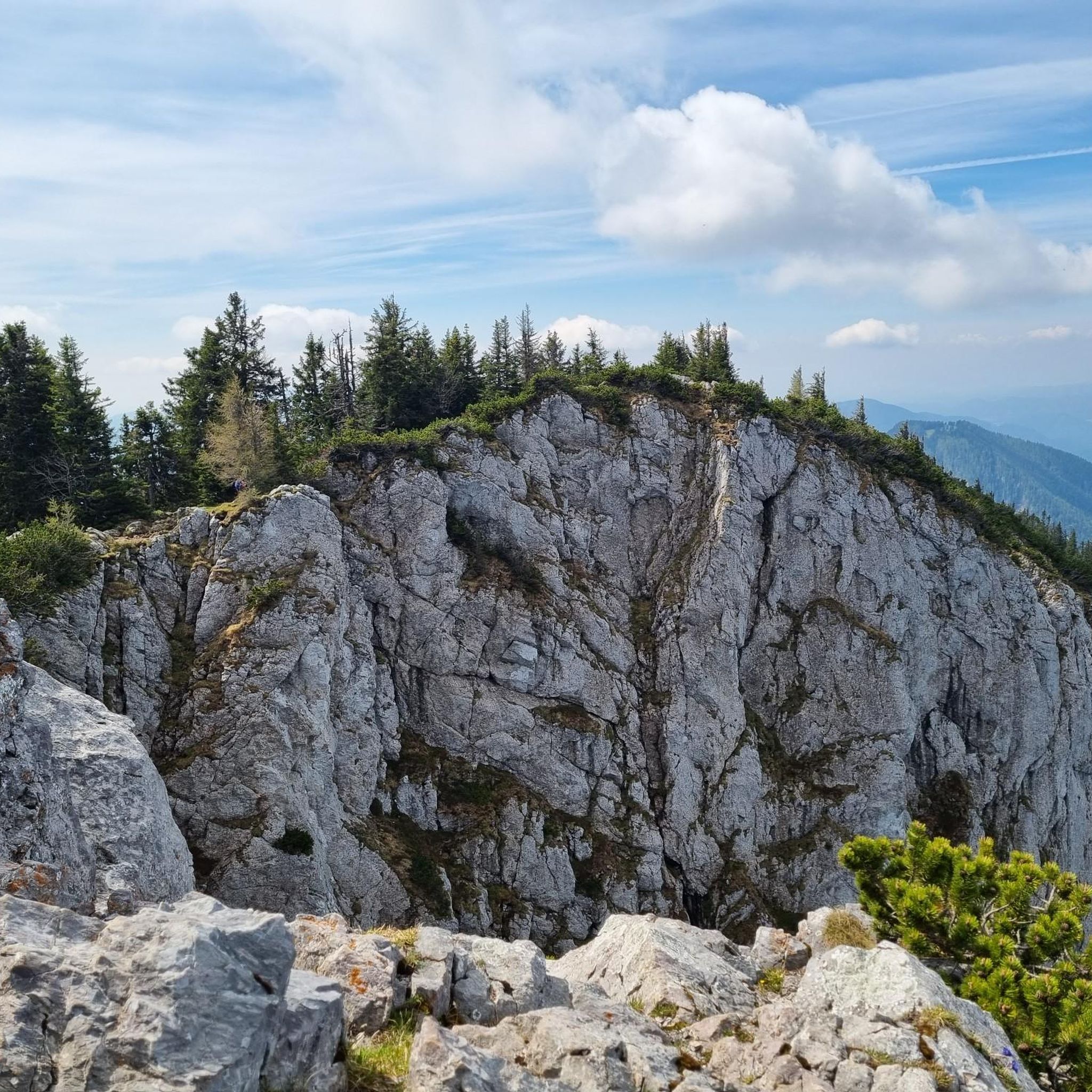
Cycling around Breitenau am Hochlantsch
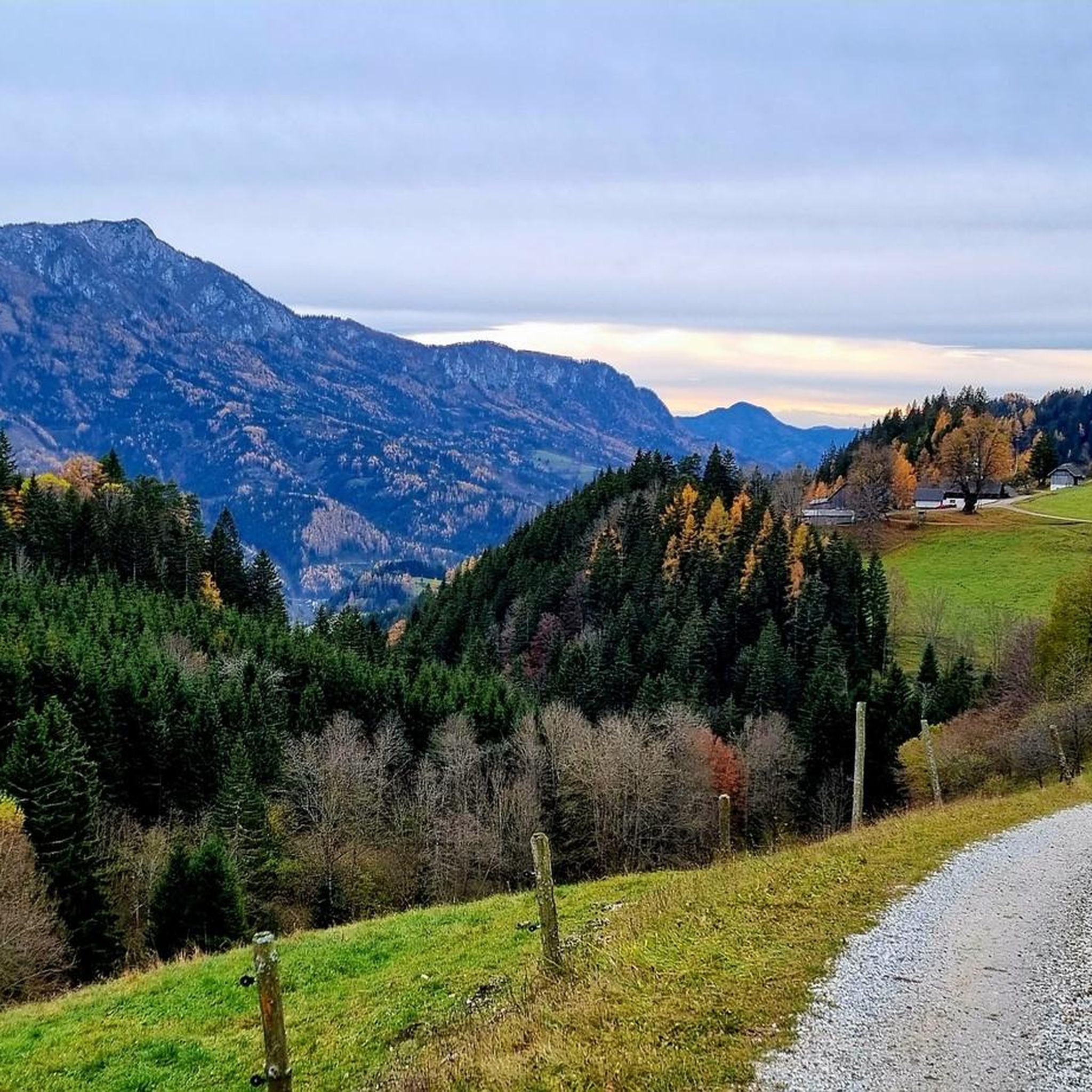
Road Cycling Routes around Breitenau am Hochlantsch

Gravel biking around Breitenau am Hochlantsch
Other adventures around Breitenau am Hochlantsch


Tips from the Community

Cozy hut, which is perfect for a break.
0
0

Mostly managed, with winter shelter, opening hours available at the Alpine Club, overnight accommodation
3
0
Always worth a visit, managed by the nature lovers, if the hut is occupied there is a great snack or meal, with advance notice also overnight accommodation possible
3
0


A slightly longer but beautiful tour from Breitenau, for example with a descent to Mixnitz. This is also possible without a car using public transport 👌 https://www.bahn-zum-berg.at/randgebirge-oest-der-mur/wanderung-hochlantsch-ranerwand/
3
0

Great view, from the Dachstein to Hungary
2
0

The legend of the Teufelstein www.sagen.at/texte/sagen/oesterreich/steiermark/sann/derteufelstein.html
10
0
Dear hiker, maybe you'll think about putting a new ballpoint pen there in the next few days because the existing pen no longer writes well.
8
0
Frequently Asked Questions
What is the highest mountain peak in the Breitenau am Hochlantsch region?
The highest mountain in the Graz Highlands, and a prominent peak in the region, is the Hochlantsch Summit, standing at 1,720 meters. It offers extensive views over the race field, the Teichalm, and the Gleinalm.
What other notable mountain peaks can I explore around Breitenau am Hochlantsch?
Beyond Hochlantsch, you can discover the Rote Wand Summit, known for its steep drop and excellent views of the surrounding mountains, accessible via well-marked hiking trails. Another unique spot is the Teufelstein summit and rock formation, a legendary cult site with impressive stacked rock blocks. The Heulantsch Summit also provides wonderful views towards Teichalm, Plankogel, and Hochlantsch.
Are there family-friendly mountain peaks or trails suitable for children in this area?
Yes, the Teufelstein summit and rock formation is considered family-friendly. Its unique geological features and local legends make it an interesting destination for all ages. While the ascent is intermediate, the reward of the rock formation and summit cross is well worth it.
What kind of natural features and viewpoints can I expect to see from these peaks?
The peaks around Breitenau am Hochlantsch offer diverse natural features. From the Hochlantsch Summit, you'll get a stunning 360-degree panoramic view that can stretch to Hungary and Slovenia on clear days. The Rote Wand Summit provides excellent views of the surrounding mountains, while the Teufelstein is a natural monument featuring unique, weathered rock formations. The region is also part of the Almenland Nature Park, known for its diverse landscapes and potential sightings of alpine flora and fauna like the Alpine Ibex.
What is the best time of year to hike the mountain peaks around Breitenau am Hochlantsch?
The best time to hike the mountain peaks is generally from late spring to early autumn (May to October) when the weather is milder and trails are clear of snow. Summer offers lush landscapes, while autumn provides vibrant foliage. Winter hiking is possible but requires appropriate gear and experience due to snow and potentially icy conditions.
What are the difficulty levels of the hiking trails to these peaks?
The trails to the peaks in this region range from intermediate to challenging. For example, the Hochlantsch Summit can be reached via an easy ascent from Teichalm, or more challenging routes like the "Jägersteig Hochlantsch und Heulantsch" and the Naturfreunde-Klettersteig (via ferrata) for climbers. The Rote Wand Summit is accessible via well-marked hiking trails without requiring climbing skills, but can be part of longer, more strenuous mountaineering routes.
Are there any huts or places to eat near the mountain peaks?
Yes, there are places to rest and refuel. The Leopold-Wittmaier Hut is a well-kept hut offering good food and service, with beautiful views, and is open on weekends, sometimes offering overnight accommodation. The "Steirischer Jockl" inn is also located along some hiking trails, providing a traditional stop for hikers.
What outdoor activities can I do near the mountain peaks around Breitenau am Hochlantsch?
Besides mountaineering, the region offers a variety of outdoor activities. You can find numerous mountain hikes, including challenging routes like the "Hochlantsch Summit (1,720 m) – Mountain Church loop". For cyclists, there are road cycling routes and MTB trails, such as the "Teichalmsee – Tyrnauer Alm loop" for mountain biking.
What cultural or historical points of interest are there near the peaks?
The Teufelstein summit and rock formation is a legendary cult site, with a story of the fallen angel Lucifer attempting to build a tower to heaven. Additionally, the quaint pilgrimage church of Schüsserlbrunn, nestled against a rock face, offers a unique cultural landmark along hiking routes.
Can I bring my dog on the mountain trails in this region?
While specific dog-friendly trail designations are not universally listed for all peaks, many trails in the Almenland Nature Park are generally accessible for dogs, provided they are kept on a leash and owners adhere to local regulations regarding wildlife protection and waste disposal. Always check specific trail rules before heading out.
Are there any unique wildlife viewing opportunities on these mountains?
Yes, the Almenland Nature Park, which encompasses the Hochlantsch, is known for its diverse landscapes and opportunities to spot alpine flora and fauna. Hikers often have the chance to encounter Alpine Ibex grazing on the rocky slopes, adding to the natural appeal of the area.
What are some of the longer, more challenging mountaineering routes available?
For those seeking a challenge, routes like the "Hochlantsch Summit (1,720 m) – Mountain Church loop" offer a significant mountaineering experience. The Rote Wand Summit can also be incorporated into longer, more strenuous loops such as the "Wild Alpine Ibex – Summit Cross Rote Wand loop" or the "Buchebenalm – Rote Wand Parking Area loop".
Most popular routes around Breitenau am Hochlantsch
Most popular attractions around Breitenau am Hochlantsch

Get inspired with the komoot mobile app


Explore more
See even more amazing summits around Breitenau am Hochlantsch with these guides:
