The best running trails around Signal Mountain
4.6
(27)
1,045
runners
76
runs
Jogging routes around Signal Mountain offer a diverse network of trails across more than 600 acres of parks and natural areas. The region is characterized by lush forests, rugged paths, and winding wooded lanes, providing varied terrain for runners. Panoramic views of the Tennessee River Gorge are a common feature, alongside picturesque lakes and cascading waterfalls. This area provides a range of jogging experiences, from moderate paths to challenging routes with significant elevation changes.
Best jogging routes around Signal Mountain
- The most popular jogging route is Mullens Cove Loop Trail, an 8.9 miles (14.2 km) trail that takes 1 hour 52 minutes to complete. This difficult route features demanding terrain and remarkable views from Snooper's Rock.
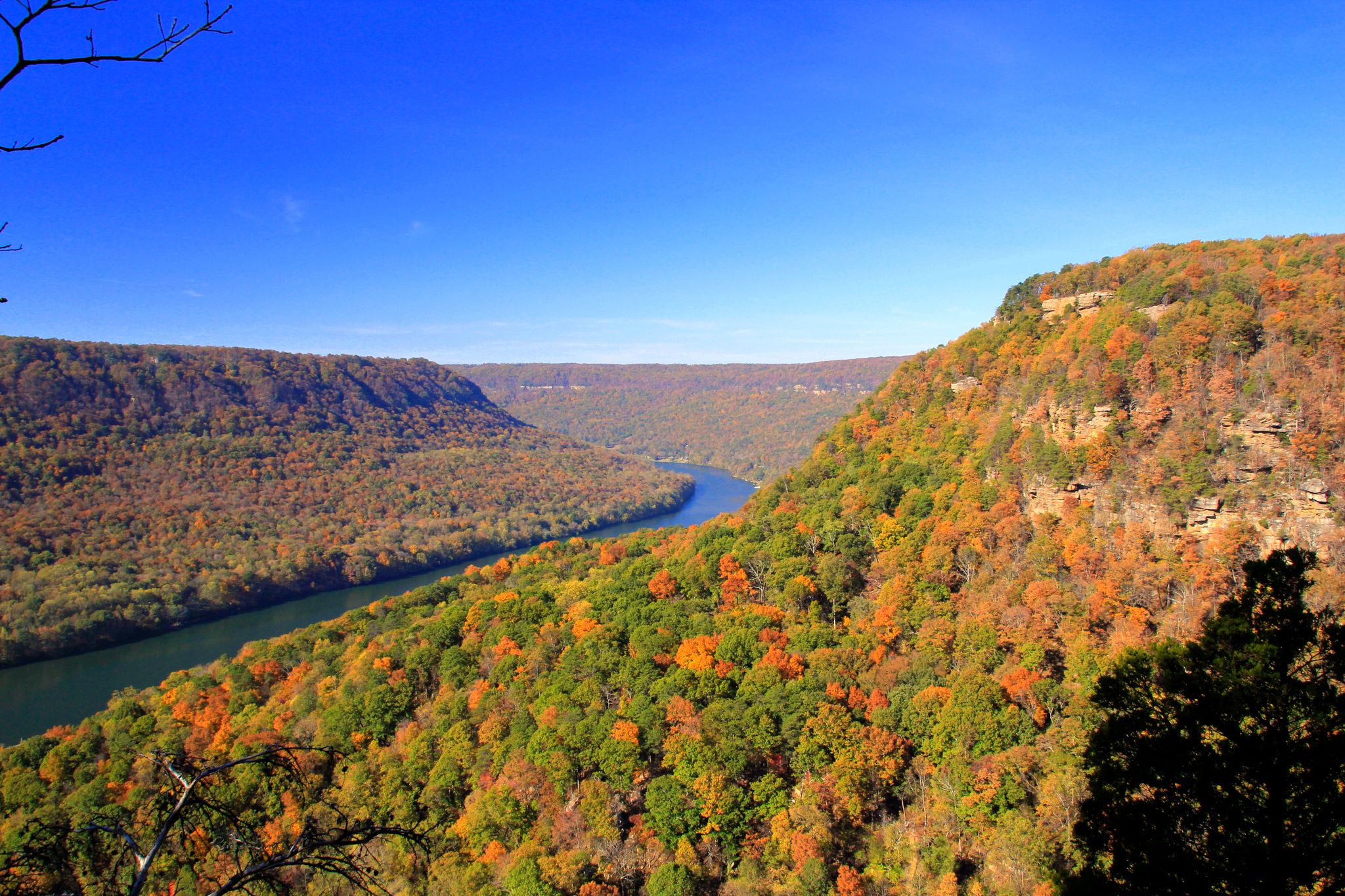
- Another top favourite among local runners is Cumberland Trail: Signal Point to Edwards Point, a moderate 3.9 miles (6.3 km) path. This trail offers panoramic views of the Tennessee River Gorge.
- Local runners also love the Signal Point and Rainbow Lake Loop, a 3.3 miles (5.3 km) trail leading through lush forests and past Rainbow Lake, often completed in about 41 minutes.
- Jogging around Signal Mountain is defined by winding wooded lanes, dazzling panoramas of the Tennessee River Gorge, and criss-crossing streams. The extensive network offers options for various ability levels, from easy loops to more challenging climbs.
- The routes in Signal Mountain are highly rated by the komoot community with an average score of 4.5 stars from more than 20 reviews. More than 1,200 runners have used komoot to explore Signal Mountain's varied terrain.
Last updated: August 17, 2026
11
runners
14.2km
01:52
350m
340m
The Mullens Cove Loop Trail offers a diverse and challenging jogging experience, taking you through pleasant forests, rugged gorges, and along high overlooks of the Tennessee River. This difficult 8.9-mile (14.2 km) route, with 1141 feet (348 metres) of elevation gain, typically takes around 1 hour and 52 minutes to complete, rewarding your effort with stunning panoramic views from iconic spots like Snooper’s Rock and vibrant spring wildflowers.
Expect varied terrain, from relatively flat sections to steep, rocky climbs and significant boulder hopping, particularly in the Mullens Cove Gorge. This is a demanding route best suited for experienced trail joggers. Since the trail is within the Prentice Cooper Wilderness Management Area, be sure to check the state forest's website for any periodic hunting closures before you head out.
Beyond its scenic beauty, the Mullens Cove Loop Trail is part of the larger Cumberland Trail system and features natural rock formations like Indian Rockhouse and Stone Door. The diverse ecosystem, with its unique azalea species and moss-encrusted rock outcrops, makes it a notable destination for those seeking a deep dive into the natural wonders of Marion County, Tennessee.
4
runners
6.33km
00:50
190m
190m
Jog this moderate 3.9-mile (6.3 km) trail from Signal Point to Edwards Point for panoramic views of the Tennessee River Gorge.

Sign up for free
3
runners
19.3km
02:04
250m
250m
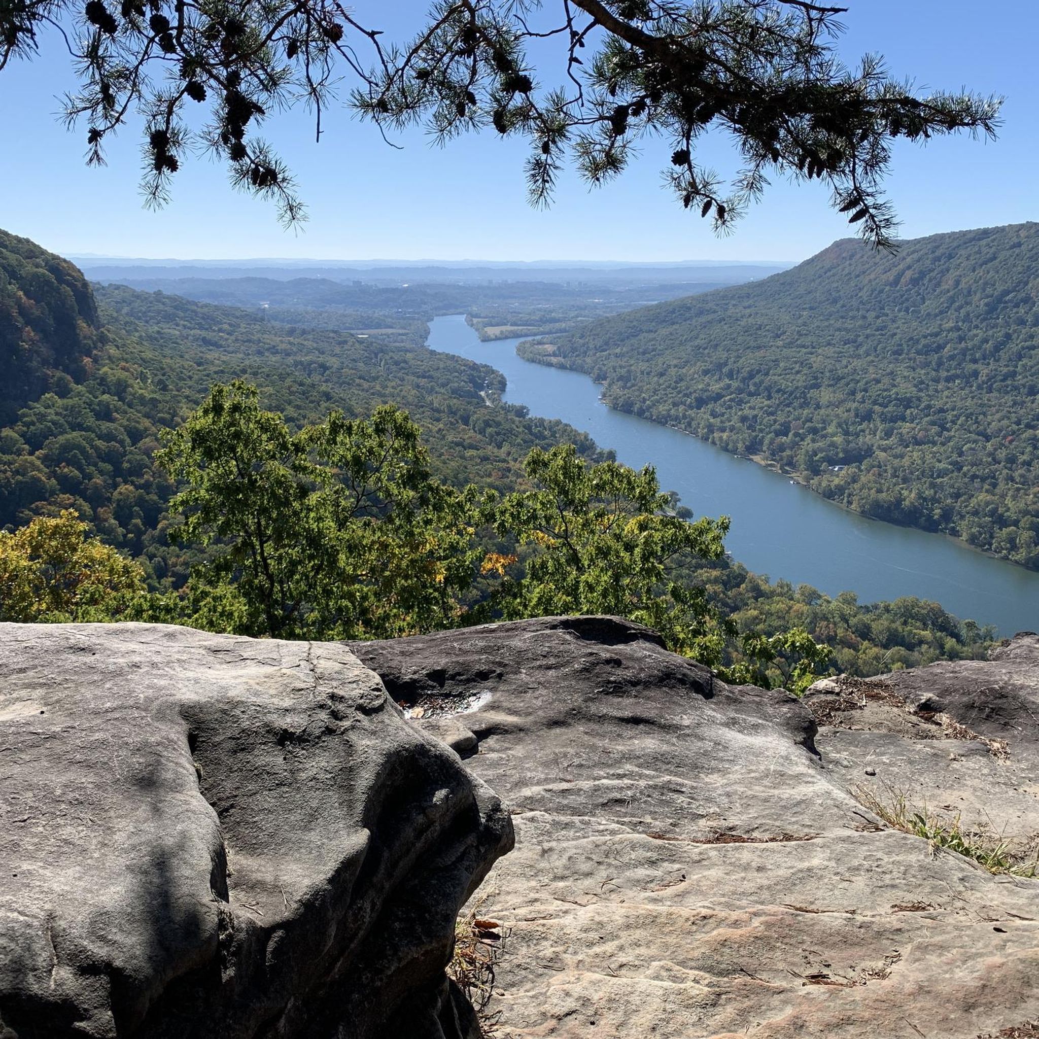
The Game Reserve Road to Snooper's Rock offers a rugged and rewarding jogging experience through Prentice Cooper State Forest. You'll traverse diverse terrain, from soft forest paths to rocky sections, all while enjoying the sounds of gurgling brooks and passing unique rock formations like the Indian Rockhouse. The grand finale is the expansive, panoramic vista from Snooper's Rock, showcasing the Tennessee River Gorge in all its glory.
This difficult 12.0-mile (19.3 km) route involves 821 feet (250 metres) of elevation gain and typically takes about 2 hours and 3 minutes to complete. Be prepared for challenging sections with roots, rocks, and steep ridges, especially if you're jogging. Always check for seasonal closures due to hunt dates in Prentice Cooper State Forest, and note that the gravel access road can be rough.
Snooper's Rock itself holds a fascinating history, named after Prohibition-era law enforcement who used it to monitor illegal moonshine operations. The trail is also part of the larger Cumberland Trail system, offering options for extended adventures. The views from the overlook are particularly stunning during sunrise and sunset, making it a prime spot for photographers.
1
runners
5.34km
00:41
130m
110m
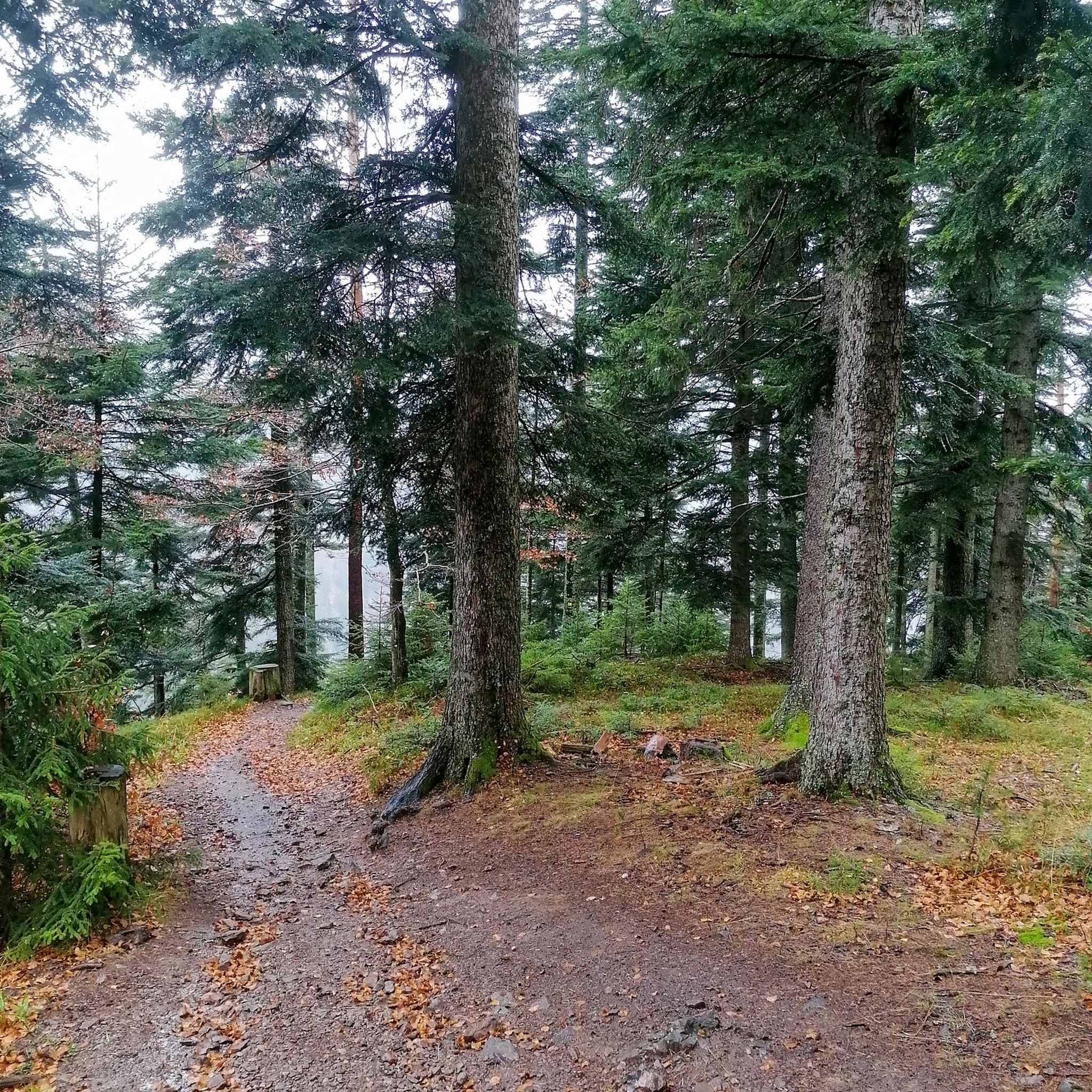
Jog the moderate 3.3-mile Signal Point and Rainbow Lake Loop, featuring Tennessee River views, Rainbow Lake, and a suspension bridge.
1
runners
17.0km
02:21
580m
580m
The Cumberland Trail from Signal Point to Edwards Point plunges you into a lush hardwood forest, quickly transitioning from a steep, stair-filled descent into a relentlessly rocky and technical path. You'll navigate over roots and rocks, cross a long suspension bridge over Middle Creek, and eventually emerge at Edwards Point for sweeping views of the Tennessee River Gorge. This 10.5-mile (17.0 km) out-and-back route, with its 1892 feet (577 metres) of elevation gain, is a difficult undertaking that feels more like a rugged adventure than a casual jog, typically taking around 2 hours and 21 minutes.
Access begins at Signal Point, where parking is available, though it's wise to arrive early on busy days, especially if you're looking for popular routes. The trail is accessible year-round, offering different scenic beauty with each season, but be prepared for potentially wet sections during rainy periods. This is not a beginner jogging route; it's best for experienced trail runners who enjoy a challenge.
This section marks the southern terminus of the extensive Cumberland Trail system and is renowned for some of the most spectacular viewpoints in the Chattanooga area. Beyond the Edwards Point vista, you'll encounter unique features like Lockhart's Arch and the distinct "mousetrap" descent. It's a prime example of the region's natural beauty, combining diverse ecosystems with impressive geological formations.
Get access to more routes and recommendations from other explorers.
Sign up for free
Already have an account?
Our route recommendations are based on thousands of hikes, rides, and runs completed by other people on komoot.
Start today with a free account
Your next adventure awaits.
Login or Signup

Other adventures around Signal Mountain

Tips from the Community

Rainbow Lake Wilderness is a quiet and beautiful corner of Prentice Cooper State Forest, perfect if you enjoy moments of solitude in nature. The surrounding trails can be rocky, leading you through dense forest and past a few small streams, with Rainbow Lake itself offering a lovely spot to pause. Trails are lightly marked and can be overgrown, so having your Komoot map downloaded can be helpful.
1
0

Edwards Point is an awesome lookout off the side of Signal Point Trail. There is a rocky outcropping that offers views of the Tennessee River below and the Signal Mountain valley down to Chattanooga.
1
0
Snooper's Rock is a cool overlook on the Cumberland Trail. It has expansive views of the Tennessee River, Chattanooga, and the distant Lookout Mountain. The overlook is actually a few hundred feet past the end of this pull-off. You'll have to walk your bike, but this overlook is worth the walk (it's pretty much the pinnacle of the ride).
0
0
Snooper's Rock is a cool overlook on the Cumberland Trail. It has expansive views of the Tennessee River, Chattanooga, and the distant Lookout Mountain.
1
0

On the right sight of Signal Point Park is the entrance to the nature trails into the Rainbow Wilderness with some scenic view points on Edwards point and the Tennessee River Valley
0
0
Nice view over the Tennessee River Valley up to Chattanooga
0
0
Game Reserve Road is the dirt service road running through the middle Prentice Cooper State Forest. There is a multitude of singletrack and double-track trails in the forest, and this dirt road offers the ability to make loops or the option for having a flatter (still rolling hills) running option.
0
0
Frequently Asked Questions
How many running routes are available around Signal Mountain?
Signal Mountain offers a wide selection of running routes, with over 60 trails available for you to explore. These routes cater to various fitness levels, from easy strolls to challenging climbs.
What kind of terrain can I expect on the running trails in Signal Mountain?
The running trails around Signal Mountain feature diverse terrain. You'll find everything from winding wooded lanes and rugged paths to sections with uneven ground, small hills, and steep inclines with rocks and roots. This variety ensures options for all preferences, from moderate paths to more challenging routes.
Are there any easy or beginner-friendly running routes in Signal Mountain?
Yes, Signal Mountain has several easy and moderate options suitable for beginners or those looking for a less strenuous run. For example, the Signal Point and Rainbow Lake Loop is a moderate 3.3-mile trail that leads through lush forests and past Rainbow Lake, offering a scenic and manageable experience.
Can I find challenging running trails for advanced runners?
Absolutely. For advanced runners seeking a challenge, Signal Mountain offers several difficult routes. The Mullens Cove Loop Trail is an 8.9-mile route with demanding terrain and remarkable views from Snooper's Rock. Another challenging option is the Game Reserve Road to Snooper's Rock, which spans over 12 miles and features significant elevation changes.
Are there any running routes with scenic viewpoints or natural attractions?
Signal Mountain is renowned for its stunning natural beauty. Many routes offer dazzling panoramas of the Tennessee River Gorge, such as the Cumberland Trail: Signal Point to Edwards Point. You can also discover picturesque spots like Rainbow Lake and the cascading Julia Falls, or visit Rainbow Lake Wilderness. Signal Point itself provides stunning views and is a historic landmark.
Are the running trails in Signal Mountain suitable for families?
Yes, many trails are suitable for families, especially those looking for a pleasant walk or light jog. The Shackleford Ridge County Park (Sam Powell Trails) offers well-maintained, color-coded loops with wooden footbridges and benches, making them ideal for various fitness levels and family outings. The Signal Point and Rainbow Lake Loop is also a moderate option that families might enjoy.
Are dogs allowed on the jogging routes in Signal Mountain?
Generally, dogs are welcome on many of the trails in Signal Mountain, especially within the Chickamauga and Chattanooga National Military Park areas like Signal Point. However, it's always best to check specific trail regulations or park rules before heading out, and ensure your dog is on a leash.
Are there any circular running routes available?
Yes, circular routes are a popular feature in Signal Mountain. The Mullens Cove Loop Trail is a notable 8.9-mile loop, and the Signal Point and Rainbow Lake Loop is a moderate 3.3-mile circular path, perfect for a scenic run.
Where can I park when visiting the running trails?
Parking is generally available at popular trailheads such as Signal Point and Shackleford Ridge County Park. For trails within Prentice Cooper State Forest, specific parking areas are designated. It's advisable to check the starting point of your chosen route for the most convenient parking options.
Do I need any permits to jog on trails like those in Prentice Cooper State Forest?
Yes, for trails located within Prentice Cooper State Forest, such as the Mullens Cove Loop Trail, a permit is required for hiking and jogging. These permits are typically obtained from the Tennessee Wildlife Resources Agency (TWRA). It's recommended to secure your permit in advance of your visit.
What is the best time of year to go running in Signal Mountain?
Signal Mountain offers great running opportunities year-round. Spring and fall provide pleasant temperatures and vibrant foliage, making them particularly popular. Summer can be warm and humid, but early mornings or evenings are ideal. Winter runs can be beautiful, though some trails might be slick with leaves or occasional ice, so appropriate gear is recommended.
What do other runners say about their experience on Signal Mountain's trails?
The running routes in Signal Mountain are highly rated by the komoot community, with an average score of 4.5 stars from over 20 reviews. Runners frequently praise the stunning panoramic views of the Tennessee River Gorge, the diverse terrain, and the serene environment of lush forests and criss-crossing streams.
Are there any lakes or waterfalls I can see while running?
Yes, the region is home to beautiful natural water features. The Signal Point and Rainbow Lake Loop will take you past the picturesque Rainbow Lake Wilderness. You can also find Julia Falls Overlook, which provides scenic views of cascading waterfalls, offering a tranquil retreat with the soothing sound of water.
Most popular attractions around Signal Mountain

Get inspired with the komoot mobile app


Explore more
Browse the best Running Trails & Routes in other regions.
