The best road cycling routes around Murrells Inlet
5.0
(11)
69
riders
10
rides
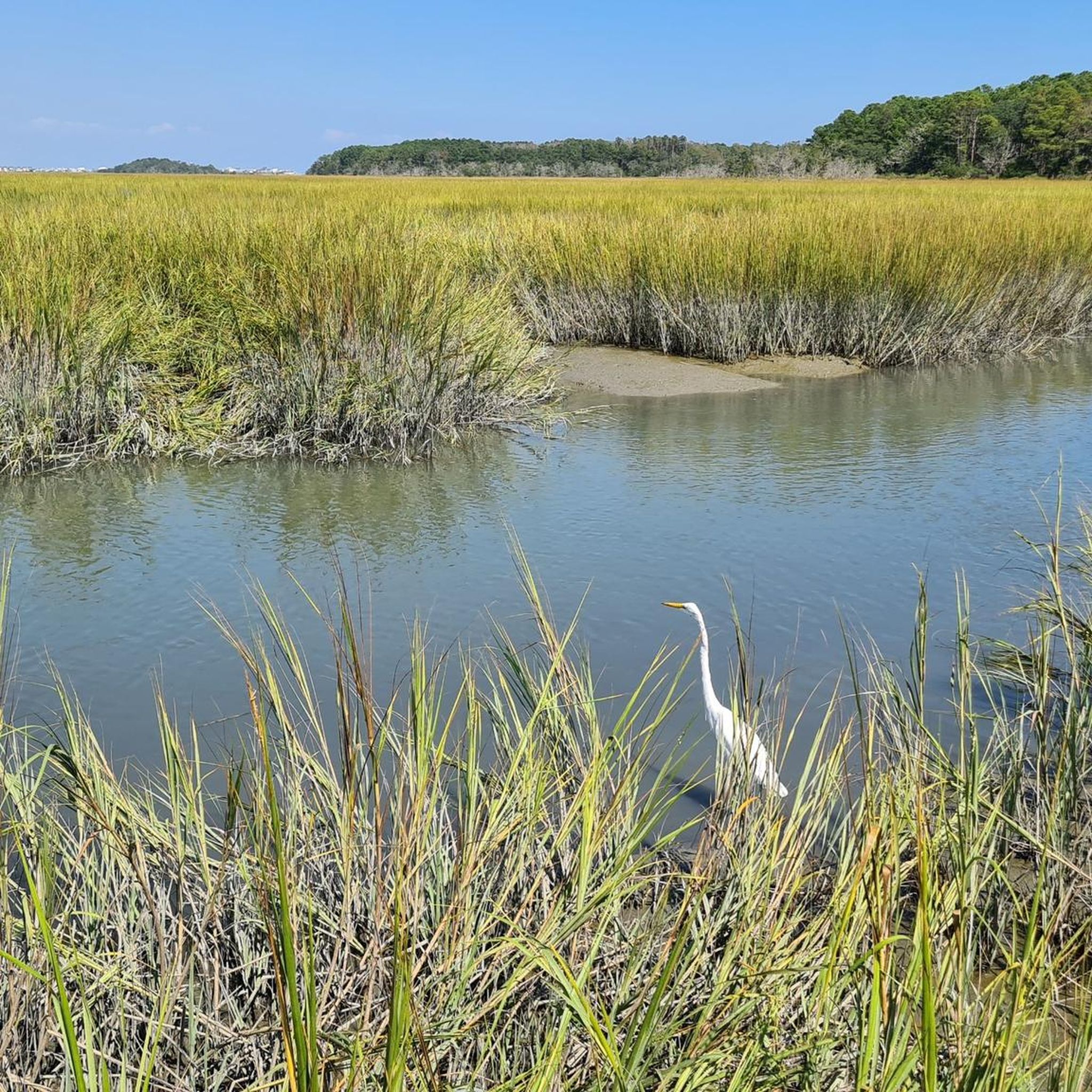
Road cycling around Murrells Inlet is characterized by its largely flat terrain and dedicated paved pathways. The region features extensive salt marshes, maritime forests, and coastal areas, providing diverse scenery for cyclists. The Waccamaw Neck Bikeway is a prominent feature, offering a continuous paved route away from vehicular traffic. This coastal area provides accessible cycling experiences for various fitness levels.
Best road cycling routes around Murrells Inlet
- The most popular road cycling route is Surfside Beach – Myrtle Beach Oceanfront…
Last updated: June 29, 2026
5.0
(5)
12
riders
27.0km
01:13
40m
40m
Easy road ride. Great for any fitness level. Mostly well-paved surfaces and easy to ride.
22
riders
59.4km
02:35
170m
170m
Moderate road ride. Good fitness required. Mostly well-paved surfaces and easy to ride.

Sign up for free
5.0
(2)
13
riders
Easy road ride. Great for any fitness level. Mostly well-paved surfaces and easy to ride.
2
riders
80.5km
03:24
260m
260m
Moderate road ride. Good fitness required. Mostly well-paved surfaces and easy to ride.
6
riders
Easy road ride. Great for any fitness level. Mostly well-paved surfaces and easy to ride.
Get access to more routes and recommendations from other explorers.
Sign up for free
Already have an account?
Our route recommendations are based on thousands of hikes, rides, and runs completed by other people on komoot.
Start today with a free account
Your next adventure awaits.
Login or Signup
Popular around Murrells Inlet


Tips from the Community

Nice trail, be careful of some quick turns and debris after any storm. Overall, beautiful ride. We road all the way to Pawleys Island and back.
0
0

Surfside Beach, known as "The Family Beach," has a pier and golden sandy beaches. Rules prohibit surfing within 300 feet of its fishing pier. The Surfside Beach Pier, originally destroyed by Hurricane Matthew in 2016, was replaced with a brand new pier in 2023.
1
0
23rd Avenue South takes hikers to beach access for the beautiful Myrtle Beach. This golden-sand beach is public and welcomes swimmers. This beach averages 215–218 sunny days per year, so the chances of a nice day are good!
0
0

This park is delightful, boasting a display of three original warplanes serving as a memorial to the US Air force, here from 1954 to 1993. The park is free and worth a visit, especially if you are a military buff.
0
0

This might be the trickiest section of the boardwalk to run during high season. I definitely recommend going out on an early run here. The boardwalk transforms into a weaving wooden bridge running up or down between Pier 14 and the Ferris Wheel. It is a beautiful and unique section of the Myrtle Beach Boardwalk but it can get very crowded.
1
0
Gorgeous weaving and paved section of the Myrtle Beach Boardwalk with palm trees lining the path the entire way. There are many viewing platforms along the way if you are looking for a phenomenal place for a stretch.
1
0
This is one of the widest sections of the Myrtle Beach Boardwalk. To the North, you'll get close to the Ferris Wheel and Pier 14, and southbound, the boardwalks transform into a weaving paved path with beautiful palm trees on both sides. If you want to run the boardwalk during high season I recommend going for an early run before the crowds make it a dodging game.
0
0
Frequently Asked Questions
What kind of terrain can I expect on road cycling routes around Murrells Inlet?
Road cycling routes in Murrells Inlet are predominantly flat, making them accessible for various fitness levels. The region features dedicated paved pathways, such as the Waccamaw Neck Bikeway, winding through diverse scenery including maritime forests, coastal areas, and alongside salt marshes.
Are there any family-friendly road cycling routes in Murrells Inlet?
Yes, Murrells Inlet offers several family-friendly road cycling options due to its largely flat terrain and dedicated bikeways. An excellent choice is the Waccamaw Neck Bikeway loop from Litchfield Beach, an easy 18.6-mile path that provides a serene cycling experience through maritime forests.
What are the best times of year for road cycling in Murrells Inlet?
The Murrells Inlet area is enjoyable for road cycling for much of the year. Spring and fall generally offer the most pleasant weather with moderate temperatures. Summers can be hot and humid, while winters are typically mild, making year-round cycling possible, though cooler temperatures might require appropriate gear.
What natural features and landmarks can I see along the road cycling routes?
Road cycling routes in Murrells Inlet offer diverse scenery. You can expect to see extensive salt marshes, maritime forests, and coastal views. Notable landmarks and attractions nearby include the Waccamaw Neck Bikeway itself, which traverses beautiful areas, and the pristine Surfside Beach. Within Huntington Beach State Park, which some routes may pass near, you can find the historic Atalaya Castle and the Huntington Beach State Park Marsh Boardwalk.
Are there any circular road cycling routes available?
Yes, Murrells Inlet features several circular road cycling routes. For example, the Surfside Beach – Myrtle Beach Oceanfront Boardwalk loop from Beach Access 1 is a 42.3-mile loop offering coastal views. Another option is the Waccamaw Neck Bikeway loop from Litchfield Beach, an easier 18.6-mile circular path.
What is the difficulty level of road cycling routes in Murrells Inlet?
The road cycling routes around Murrells Inlet cater to various skill levels. You'll find a good mix of easy and moderate routes, with the majority being flat. For instance, the Waccamaw Neck Bikeway loop from Litchfield Beach is rated easy, while routes like The Hulk – Surfside Beach loop from Burgess are considered moderate.
Where can I park when going road cycling in Murrells Inlet?
Access points for the Waccamaw Neck Bikeway, a central feature for road cycling, include Morse Park Landing in Murrells Inlet and Huntington Beach State Park, both of which offer parking facilities. Other routes may have parking available near their starting points, often in public access areas or designated trailheads.
What do other road cyclists enjoy most about cycling in Murrells Inlet?
The road cycling experience in Murrells Inlet is highly rated by the komoot community, with an average score of 5.0 stars. Cyclists often praise the dedicated paved pathways, such as the Waccamaw Neck Bikeway, which provide a safe and scenic ride away from vehicular traffic, as well as the diverse coastal and maritime forest scenery.
Are there any long-distance road cycling routes for experienced riders?
Yes, for experienced riders looking for longer distances, routes like the The Hulk – Surfside Beach loop from Burgess offer a substantial 50.0-mile ride through coastal areas. Another option is the Flagg Pond loop from Richmond Island, which covers 81.1 miles.
Can I find cafes or places to eat near the road cycling routes?
Yes, Murrells Inlet is known for its vibrant culinary scene, especially along the MarshWalk, which is easily accessible from various points in the area. You'll find numerous waterfront dining options and cafes where you can refuel after your ride. Many routes pass through or near developed areas with amenities.
Are there any road cycling routes that offer views of the salt marshes or tidal creeks?
Absolutely. The Murrells Inlet region is characterized by its ecologically rich estuary, and many cycling routes, particularly sections of the Waccamaw Neck Bikeway, wind through or alongside salt marshes and tidal creeks. Morse Park Landing, an access point for the bikeway, specifically offers marsh views.
Most popular routes around Murrells Inlet
Most popular attractions around Murrells Inlet

Get inspired with the komoot mobile app


Explore more
Browse the best Road cycling routes in other regions.
