The best road cycling routes around Rennerdale
210
riders
26
rides
Road cycling routes around Rennerdale, Pennsylvania, are primarily defined by the region's location on the Allegheny Plateau, offering varied terrain. The area features a hilly topography with elevations ranging from 882 to 1,032 feet, approaching Robinson's Run. A significant draw for road cyclists is the Panhandle Trail, a rail-trail that traverses forests and farmland. This rural suburb southwest of Pittsburgh provides a blend of natural beauty and recreational infrastructure for cycling.
Best road cycling routes around Rennerdale
- The most popular…
Last updated: July 2, 2026
86
riders
84.8km
03:32
500m
500m
Moderate road ride. Good fitness required. Mostly well-paved surfaces and easy to ride.
34
riders
48.5km
02:27
500m
500m
Moderate road ride. Good fitness required. Some segments of this route may be unpaved and difficult to ride.

Sign up for free
14
riders
Moderate road ride. Great for any fitness level. Some segments of this route may be unpaved and difficult to ride.
7
riders
72.4km
03:34
750m
750m
Moderate road ride. Good fitness required. Some segments of this route may be unpaved and difficult to ride.
8
riders
Moderate road ride. Great for any fitness level. Some segments of this route may be unpaved and difficult to ride.
Get access to more routes and recommendations from other explorers.
Sign up for free
Already have an account?
Our route recommendations are based on thousands of hikes, rides, and runs completed by other people on komoot.
Start today with a free account
Your next adventure awaits.
Login or Signup


Tips from the Community


The National Tunnel is a 623 feet tunnel on the Panhandle Trail. It has automatic lighting, but it is still good to bring your own lights.
0
0

McCaslin Road is a quiet paved road that is part of the route that leads from the Pittsburgh airport parking lot to the Montour Trail. The route is known as the Montour Trail Airport Connector Route and is pretty easy to follow since it's mostly a straight shot.
0
0
The Forestbrooke Conservation Area is a 7-acre haven for plants and animals. As you ride along the Montour Trail, you'll have a great opportunity to take in the sights and sounds of nature.
0
0

Weirton nestled along the Ohio River, exudes small-town charm and industrial heritage. Known for steel production, it offers scenic views, historical sites, and a tight-knit community spirit.
0
0
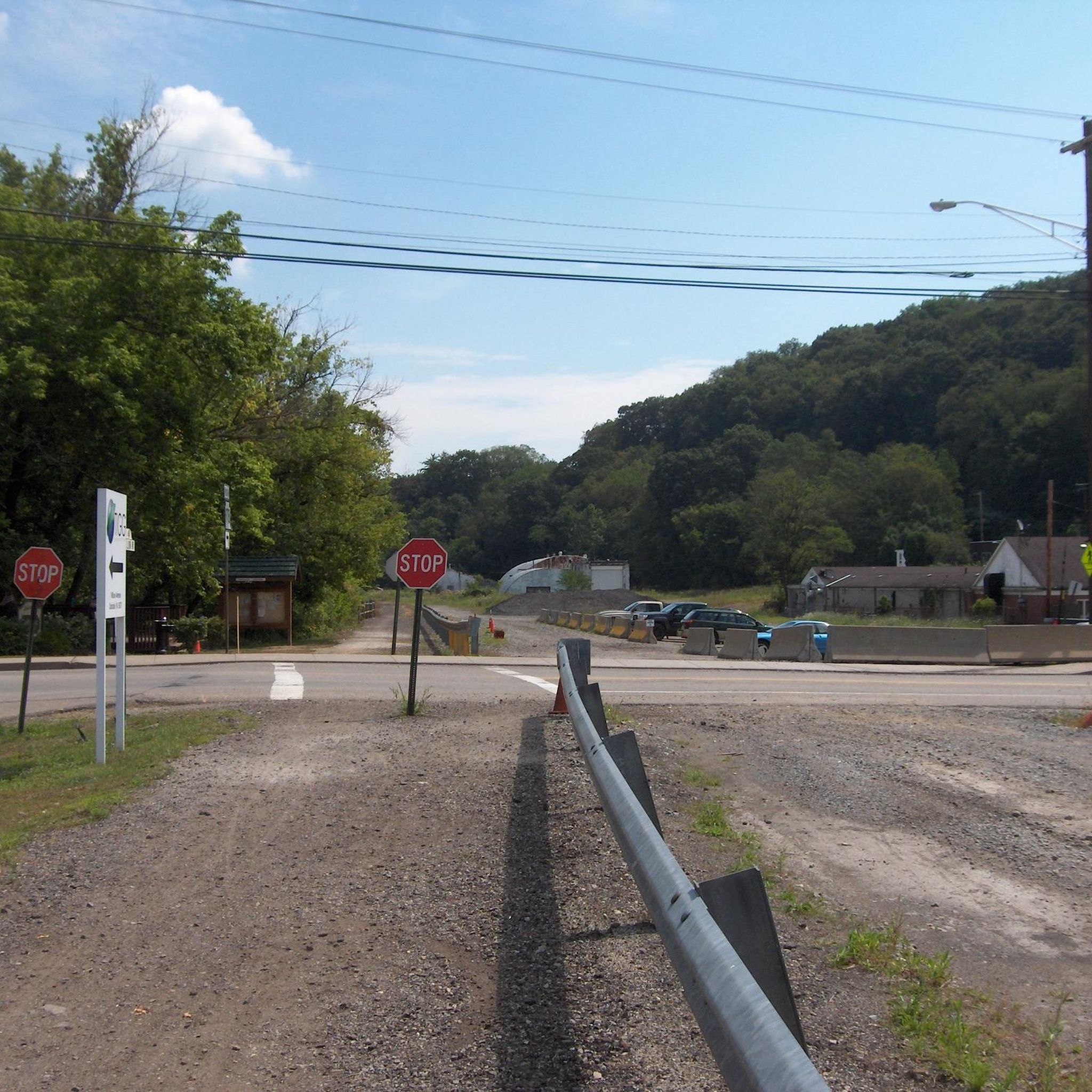
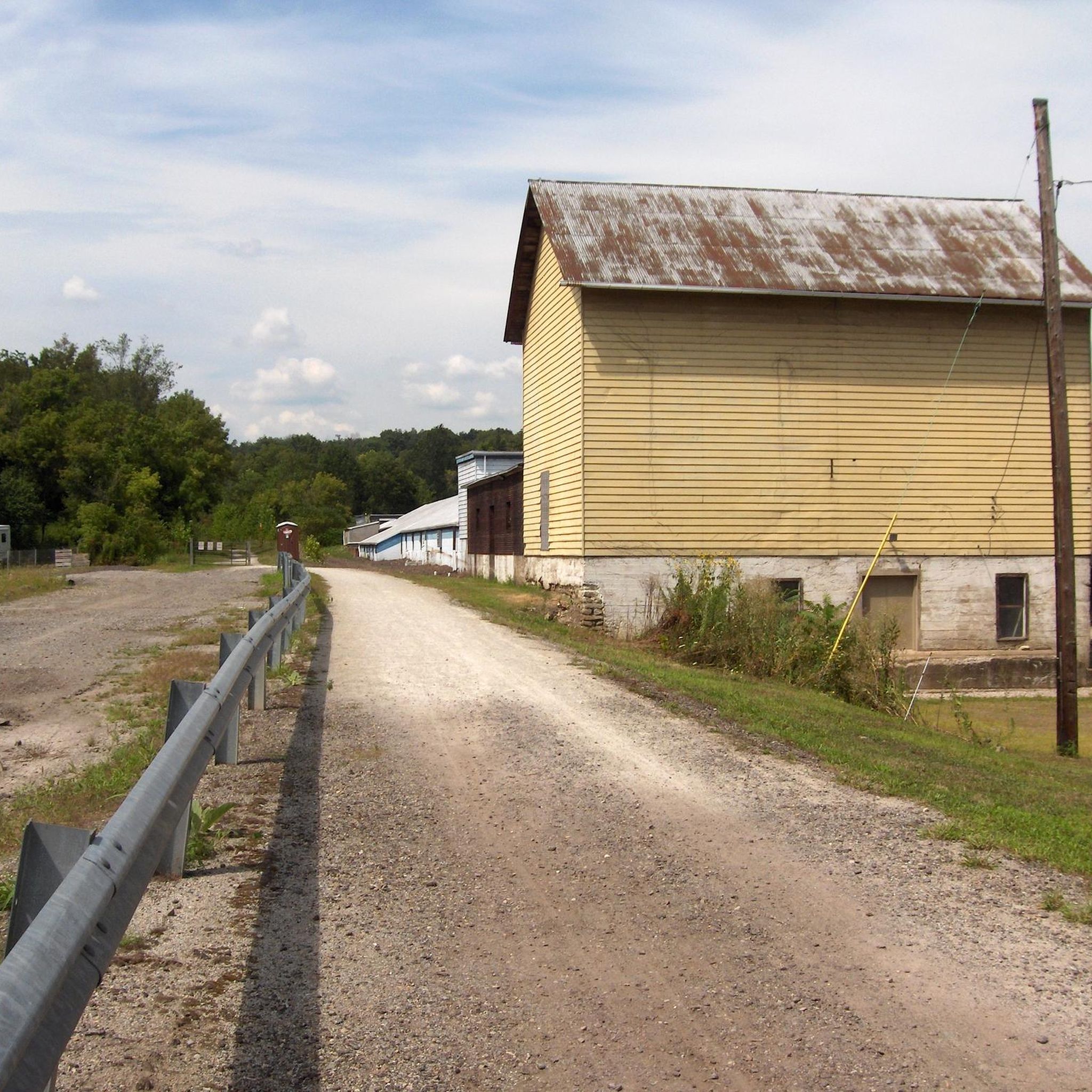
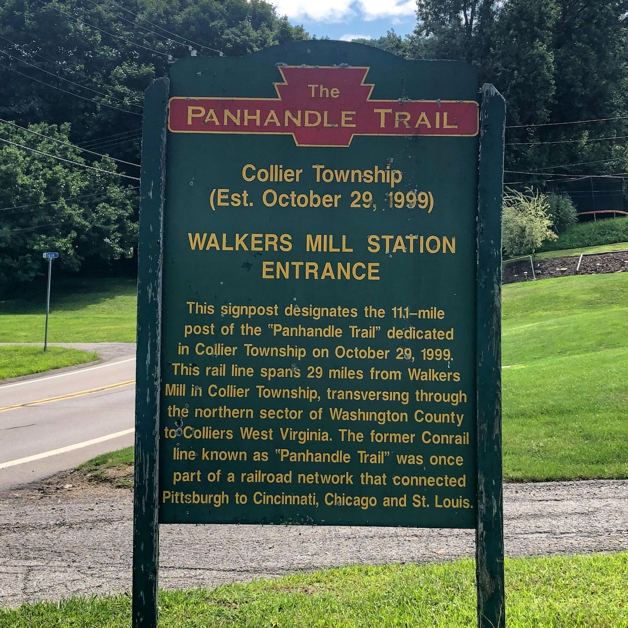
Panhandle Trail, nestled in western Pennsylvania, offers a scenic journey through lush forests and charming towns. Spanning 29 miles along a former railroad corridor, it beckons cyclists, hikers, and nature enthusiasts to explore its beauty and tranquility year-round.
0
0
Enlow Tunnel, a remarkable feat of engineering, was excavated through the hillside in 1926 as part of a realignment initiative by the Montour Railroad. Its construction aimed to eradicate multiple challenging curves in the railroad's original main line. Stretching 575 feet, this tunnel replaced a half-mile section of track that previously wound around the hill alongside Montour Run.
0
0
The Montour Trail - Boggs Trailhead Campsite is exclusively for hikers, runners, and bikers passing through the Montour Trail. Please note that overnight parking is not allowed, and vehicles may be required to be moved by the police. Reservations are unnecessary, and there is no fee for utilizing the sites, which operate on a first-come, first-served basis.
0
0
Frequently Asked Questions
How many road cycling routes are available around Rennerdale?
There are over 30 road cycling routes available around Rennerdale, offering a variety of experiences for cyclists. These routes are highly rated by the komoot community, with an average score of 5.0 stars.
What kind of terrain can I expect on road cycling routes in Rennerdale?
Road cycling in Rennerdale is characterized by the Allegheny Plateau terrain, featuring a hilly topography with elevations ranging from 882 to 1,032 feet. Many routes, like sections of the Panhandle Trail, traverse through forests and farmland, offering a mix of paved and crushed gravel surfaces suitable for road bikes on the paved portions.
Are there any challenging road cycling routes in the Rennerdale area?
While most routes are moderate, there are a few more challenging options available. The region's hilly topography means many routes include climbs, such as the steady ascent to Bulger on the Panhandle Trail. Overall, 3 routes are rated as difficult, providing a good test for experienced cyclists.
Are there any easy road cycling routes suitable for beginners or families?
Yes, there is at least one easy road cycling route available. The Panhandle Trail itself, particularly its paved sections, offers a relatively gentle ride through scenic rural landscapes, making it suitable for families or those looking for a less strenuous outing. The trail's former railroad line grade ensures manageable inclines.
What are some notable landmarks or natural features I can see while cycling?
While cycling, you can encounter several interesting features. The Enlow Tunnel and National Tunnel are unique points of interest along some routes. The McDonald Trestle Bridge is another notable landmark. Additionally, the Panhandle Trail passes by Fossils Cliff, known for its abundant fern leaf fossils, and the nearby Settler's Cabin Park features a waterfall.
Are there any loop routes for road cycling around Rennerdale?
Yes, there are several loop routes. A popular option is the Panhandle Trail – National Tunnel loop from Scott Township, which covers 30.1 miles and includes sections of the Panhandle Trail and a tunnel. Another is the Hot Metal Bridge – View of the Andy Warhol Bridge loop from Mt. Lebanon, offering urban and river views over 32.9 miles.
Where can I park when accessing road cycling trails in Rennerdale?
The Panhandle Trail, a central feature for cycling in the area, has various access points with parking. For example, the McDonald Panhandle Trail trailhead is a known facility for parking. It's advisable to check specific route starting points for designated parking areas.
What is the best time of year to go road cycling in Rennerdale?
The changing seasons in Pennsylvania bring unique beauty to the landscapes around Rennerdale, making cycling appealing throughout much of the year. Spring and fall generally offer pleasant temperatures and vibrant scenery, while summer provides longer daylight hours. Winter cycling is possible but may require appropriate gear and caution due to weather conditions.
Can I connect to longer-distance cycling networks from Rennerdale?
Absolutely. The Panhandle Trail is a crucial link in a larger network. It connects with the Montour Trail, which partly encircles Pittsburgh, and is also part of the ambitious Great American Rail-Trail. This connectivity offers opportunities for extended tours and multi-day adventures beyond the immediate Rennerdale area.
What do other cyclists say about road cycling in Rennerdale?
The road cycling routes in Rennerdale are highly rated by the komoot community, with an average score of 5.0 stars from more than 1 review. Cyclists often praise the varied terrain, the peaceful rural scenery, and the well-maintained sections of the Panhandle Trail that wind through forests and farmland.
Are there any routes that offer scenic viewpoints?
Given Rennerdale's location on the Allegheny Plateau and its hilly topography, many routes naturally offer scenic views of the surrounding rural landscapes, forests, and farmland. The Panhandle Trail, for instance, provides picturesque views throughout its course, especially as it traverses varied terrain.
Is the Panhandle Trail suitable for road bikes?
Yes, the Panhandle Trail is suitable for road bikes on its paved asphalt sections. While it also features crushed gravel sections, road cyclists can enjoy a moderate ride through forests and farmland on the maintained paved portions of this former railroad line.
Are there any routes that include tunnels?
Yes, some routes incorporate tunnels, adding an interesting element to your ride. The Panhandle Trail – National Tunnel loop from Scott Township specifically includes sections of the Panhandle Trail and passes through a tunnel. You can also find the Enlow Tunnel as a highlight in the area.
Most popular attractions around Rennerdale

Get inspired with the komoot mobile app


Explore more
Browse the best Road cycling routes in other regions.
