The best walks and hikes around Pocono Woodland Lakes
4.4
(5)
88
hikers
18
hikes
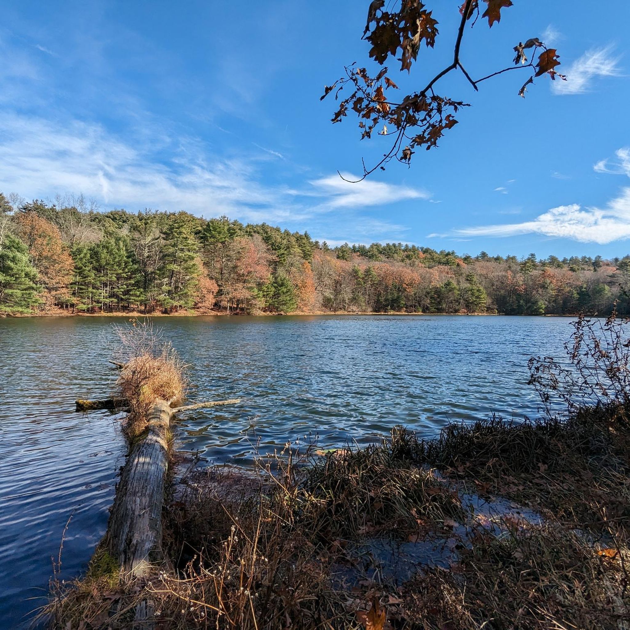
Hiking around Pocono Woodland Lakes is centered on trails within the Delaware Water Gap National Recreation Area, offering access to the scenic Pocono Mountains. The landscape is characterized by forested hills, river valleys, and numerous waterfalls. Routes often involve ascents to viewpoints overlooking the Delaware River and the surrounding terrain. This region provides diverse natural features for outdoor exploration.
Best hiking trails around Pocono Woodland Lakes
- The most popular hiking route is Raymondskill Falls loop from Cliff Park Trailhead —…
Last updated: July 12, 2026
5
hikers
1.26km
00:23
50m
30m
The Raymondskill / Creek Trail offers a quick, immersive experience into a shaded hemlock ravine, leading you directly to the impressive, three-tiered Raymondskill Falls. While the path is short, expect…
1.13km
00:19
30m
30m
The Forest Discovery Trail offers a delightful, easy hiking experience, perfect for a quick immersion in nature. This route often winds through varied forest types, from mixed white pine and…

Sign up for free
5.0
(1)
4
hikers
6.06km
01:49
180m
180m
The Hackers Falls and Cliff Trail Loop offers a diverse hiking experience, winding through dense eastern hemlock forests that create a "cathedral-like canopy" before opening up to dramatic cliffside views.…
1
hikers
5.25km
01:28
110m
110m
The Hackers Falls and Pond Loop offers a delightful blend of forest paths, a stunning waterfall, and serene pond views, making it an easy 3.3-mile (5.2 km) hike. You'll navigate…
9.19km
02:36
190m
190m
Hike the moderate 5.7-mile Conashaugh View Loop Trail in Delaware Water Gap, featuring forests, a scenic overlook, and historic farm.
Get access to more routes and recommendations from other explorers.
Sign up for free
Already have an account?
Our route recommendations are based on thousands of hikes, rides, and runs completed by other people on komoot.
Start today with a free account
Your next adventure awaits.
Login or Signup
Popular around Pocono Woodland Lakes

Tips from the Community

'Raymondskill Falls' in the 'Delware Water Gap' is a waterfall with three stages and a drop of approximately 45 m. It is considered the highest waterfall in Pennsylvania. https://gowaterfalling.com/waterfalls/raymondskill.shtml
1
1

If you don't want to contend with the crowds around popular Raymondskill Falls, consider this side hike to Hackers Falls.
2
0
Taken all together, the segments of the Conashaugh View Trail add up to almost 9 miles of hiking and horseback riding trails, separate from the Appalachian Trail that sometimes dominates trail networks in this valley. Hikers should yield to horseback riders.
2
0
This is one of the most stunning overlooks of the Delaware River Valley — although you'll find several other beautiful overlook options along this section of cliffs.
0
0

A ladder of falls, some easily accessible via a well maintained trail, other require a short hike on unmarked trails (just follow trail Komoot is showing).
1
0
Frequently Asked Questions
Are there any easy, family-friendly hikes near Pocono Woodland Lakes?
Yes, the area has several options suitable for families. A great choice is the Hackers Falls and Pond Trail loop, which is a relatively flat 3.2-mile (5.2 km) walk. For something even shorter, the trail to Shohola Falls is typically under a mile long and leads to a scenic waterfall.
What are the best hikes for seeing waterfalls?
The region is famous for its waterfalls. The Raymondskill Falls loop is a must-do, as it takes you to the tallest waterfall in Pennsylvania. Another excellent option is visiting Dingmans Falls and Silverthread Falls, which are easily accessible via a boardwalk trail within the Delaware Water Gap National Recreation Area.
Are dogs allowed on the hiking trails?
Many trails in the surrounding state parks and the Delaware Water Gap National Recreation Area are dog-friendly, but they must be kept on a leash. Always check the specific regulations for the park or trail you plan to visit before you go, as some areas, particularly around swimming areas or certain delicate ecosystems, may have restrictions.
Which trails offer the best scenic views?
For panoramic views over the Delaware River valley, the Cliff Trail and Milford Knob loop is an excellent choice. This moderate hike combines two popular viewpoints. Another option with rewarding scenery is the Conashaugh View Trail loop, which offers great vistas after a steady climb.
What is the typical terrain like on the trails?
The terrain varies significantly. You'll find everything from relatively flat, wide paths like the McDade Recreational Trail to rocky, forested trails with steep ascents. Many routes involve climbing to ridges for views, so expect elevation changes. Trails near waterfalls can be wet and slippery, so sturdy, waterproof footwear is recommended.
Are there any challenging hikes in the area?
While there are no hikes officially rated as 'difficult' in this collection, several 'moderate' routes offer a good challenge. The 6.8-mile (11 km) loop combining the Cliff Trail and Milford Knob involves a significant amount of ascent and is a rewarding workout for experienced hikers.
How many hiking trails are there around Pocono Woodland Lakes?
There are over a dozen curated hiking routes available in this guide, ranging from easy to moderate difficulty. The broader Pocono region and Delaware Water Gap National Recreation Area contain hundreds of miles of trails, offering nearly endless opportunities for exploration.
What do other hikers enjoy about this region?
The area is highly regarded by the komoot community. Hikers often praise the stunning waterfalls, the beautiful woodland scenery, and the rewarding views from the ridgetop trails overlooking the Delaware River. The variety of trails, from easy waterfall walks to more strenuous climbs, is also a frequently mentioned highlight.
Where can I find good parking for the trails?
Most popular trails in the Delaware Water Gap National Recreation Area have designated parking areas near the trailheads, such as those for Raymondskill Falls, Dingmans Falls, and the Milford Knob Trail. These lots can fill up quickly, especially on weekends, so it's best to arrive early.
Are there any circular walks available?
Yes, most of the popular routes in the area are loops, allowing you to start and end in the same place without retracing your steps. The Milford Knob loop is a great example of a classic circular hike that leads to a fantastic viewpoint.
What are some popular parks or nature preserves for hiking nearby?
Besides the main trails in the Delaware Water Gap, there are several highly-regarded parks in the region. Promised Land State Park is a local favorite, offering around 50 miles of hiking trails through forests and around two lakes. Big Pocono State Park, on the summit of Camelback Mountain, is known for its rugged terrain and expansive views. For a beautiful walk along a creek, many visitors enjoy the Austin T. Blakeslee Natural Area.
How should I prepare for a hike in the Poconos?
Wear sturdy hiking shoes, as trails can be rocky and uneven. It's wise to bring layers of clothing, as weather can change, especially at higher elevations. Always carry enough water, some snacks, and a map of the area. Since cell service can be unreliable in the park, downloading your route map beforehand is highly recommended.
Most popular routes around Pocono Woodland Lakes
Most popular attractions around Pocono Woodland Lakes

Get inspired with the komoot mobile app


Explore more
Browse the best Hikes in other regions.
