The best road cycling routes around Mont Clare
4.8
(26)
986
riders
76
rides
If you've ever tried to plan road cycling around Mont Clare, you know how quickly the options can become overwhelming. With so many popular road bike trails Mont Clare Pennsylvania offers, it's tough to tell which routes are genuinely worth your time and effort, and which are just filler. That's where we come in. We've done the legwork, sifting through countless routes mapped and ridden by the komoot community, to bring you a curated shortlist of the very best.
Road…
Last updated: June 4, 2026
4.9
(7)
399
riders
55.5km
02:49
180m
180m
The View from Sullivan's Bridge – Schuylkill River Trail loop from Mont Clare offers a fantastic road cycling experience, blending scenic river views with historical context. You'll pedal along mostly…
5.0
(1)
72
riders
48.3km
02:14
270m
270m
The Schuylkill River Trail loop from Mont Clare offers a delightful road cycling experience, winding along the scenic Schuylkill River. You'll pedal through a varied landscape, from lush riverbanks to…

Sign up for free
5.0
(1)
16
riders
104km
05:16
1,250m
1,250m
The National Memorial Arch – Rapps Dam Covered Bridge loop from Phoenixville offers a challenging road cycling adventure through historic Pennsylvania. You'll pedal past the iconic National Memorial Arch in…
5.0
(1)
7
riders
31.9km
01:34
190m
200m
Easy road ride. Great for any fitness level. Mostly well-paved surfaces and easy to ride.
8
riders
62.0km
03:08
550m
550m
The Schuylkill River Trail loop from Phoenixville offers a dynamic road cycling experience, transitioning from serene riverfront paths to historical industrial landscapes. You'll pedal past old mills and bridges, with…
Get access to more routes and recommendations from other explorers.
Sign up for free
Already have an account?
Our route recommendations are based on thousands of hikes, rides, and runs completed by other people on komoot.
Start today with a free account
Your next adventure awaits.
Login or Signup

Tips from the Community

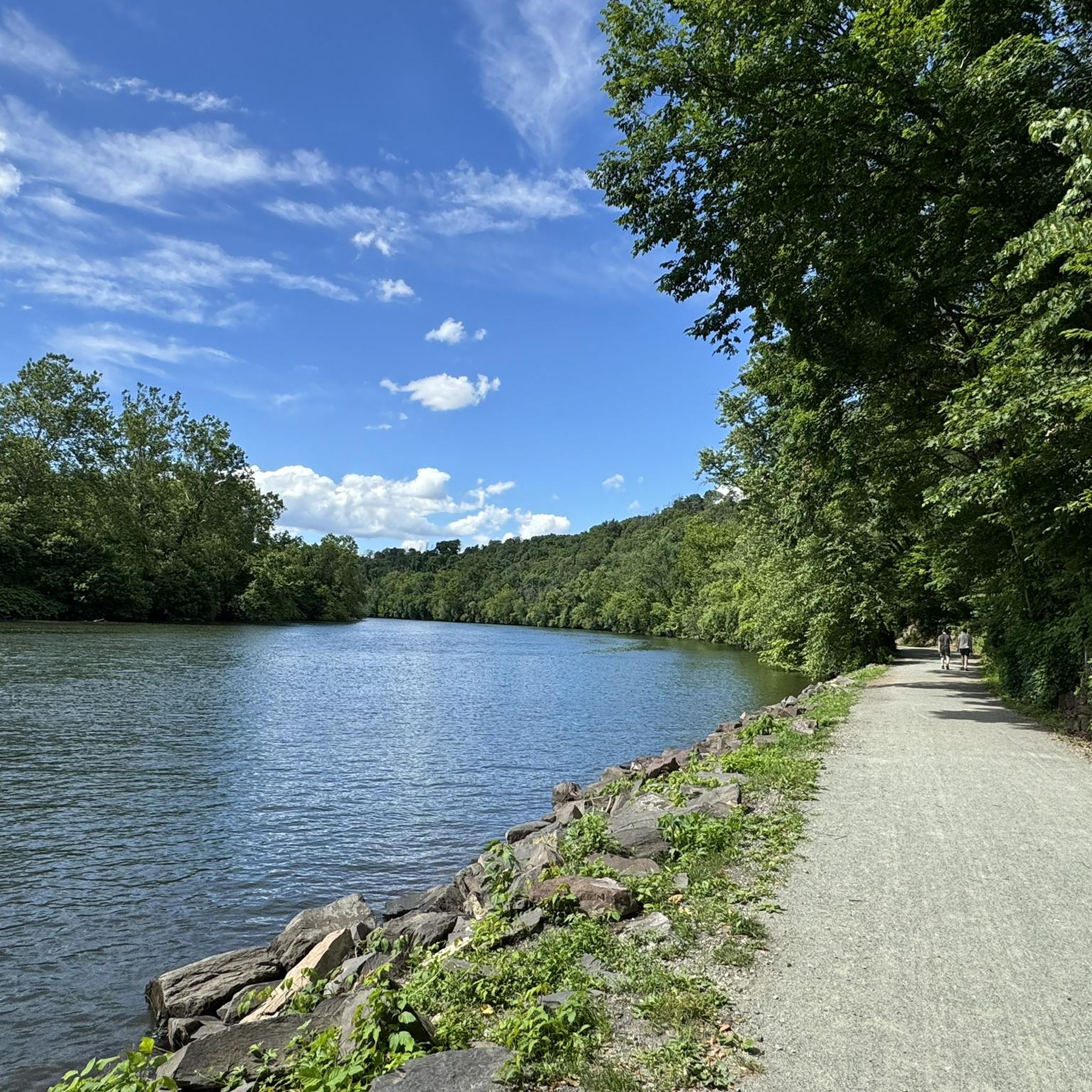
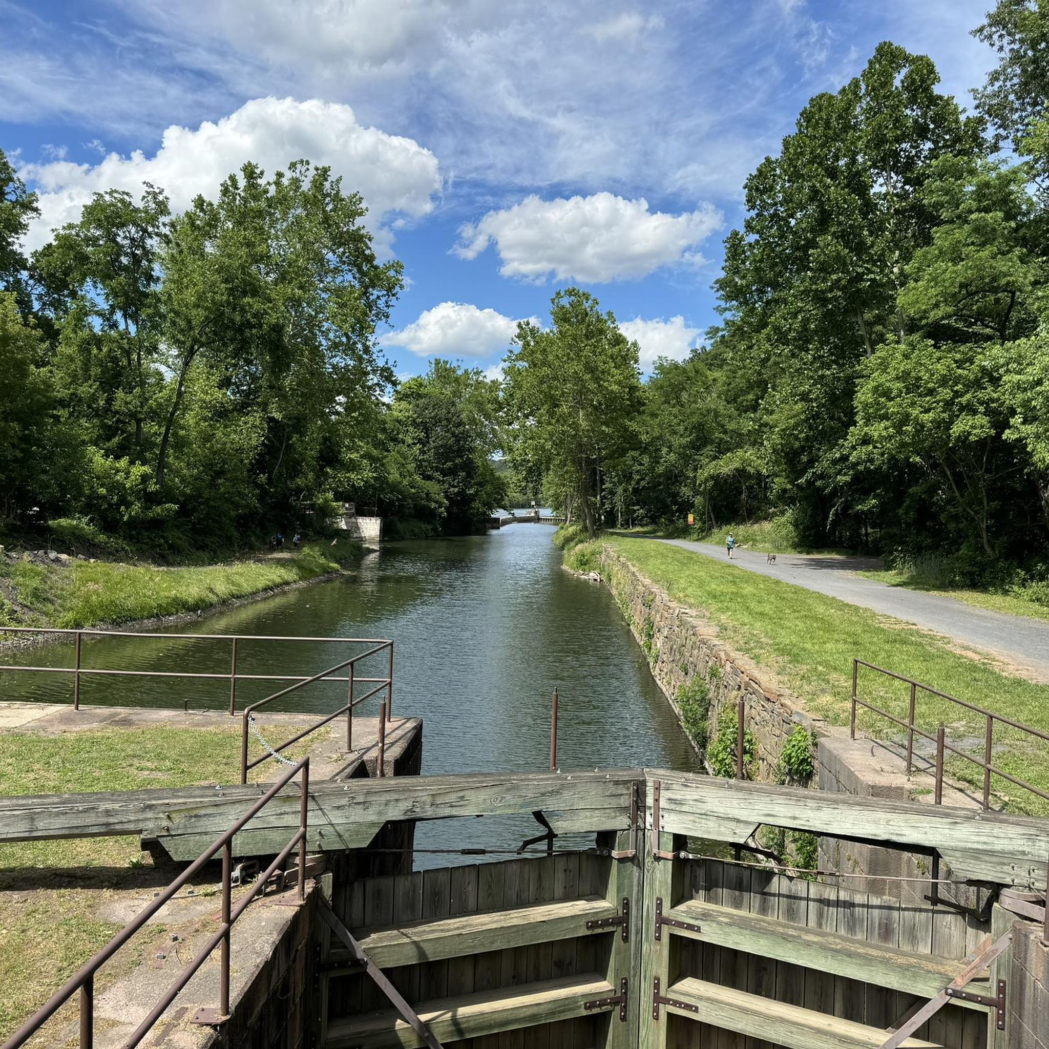
This is a perfect spot to access the Schuylkill River Trail. At this trailhead, you'll find a dog park and a picnic area—an excellent place to start your journey or turn around and head back.
1
0

This memorial arch was deliberately designed to resemble a simplified version of the Arch of Titus in Rome, Italy; it commemorates the arrival of George Washington and his Continental Army to Valley Forge.
0
0

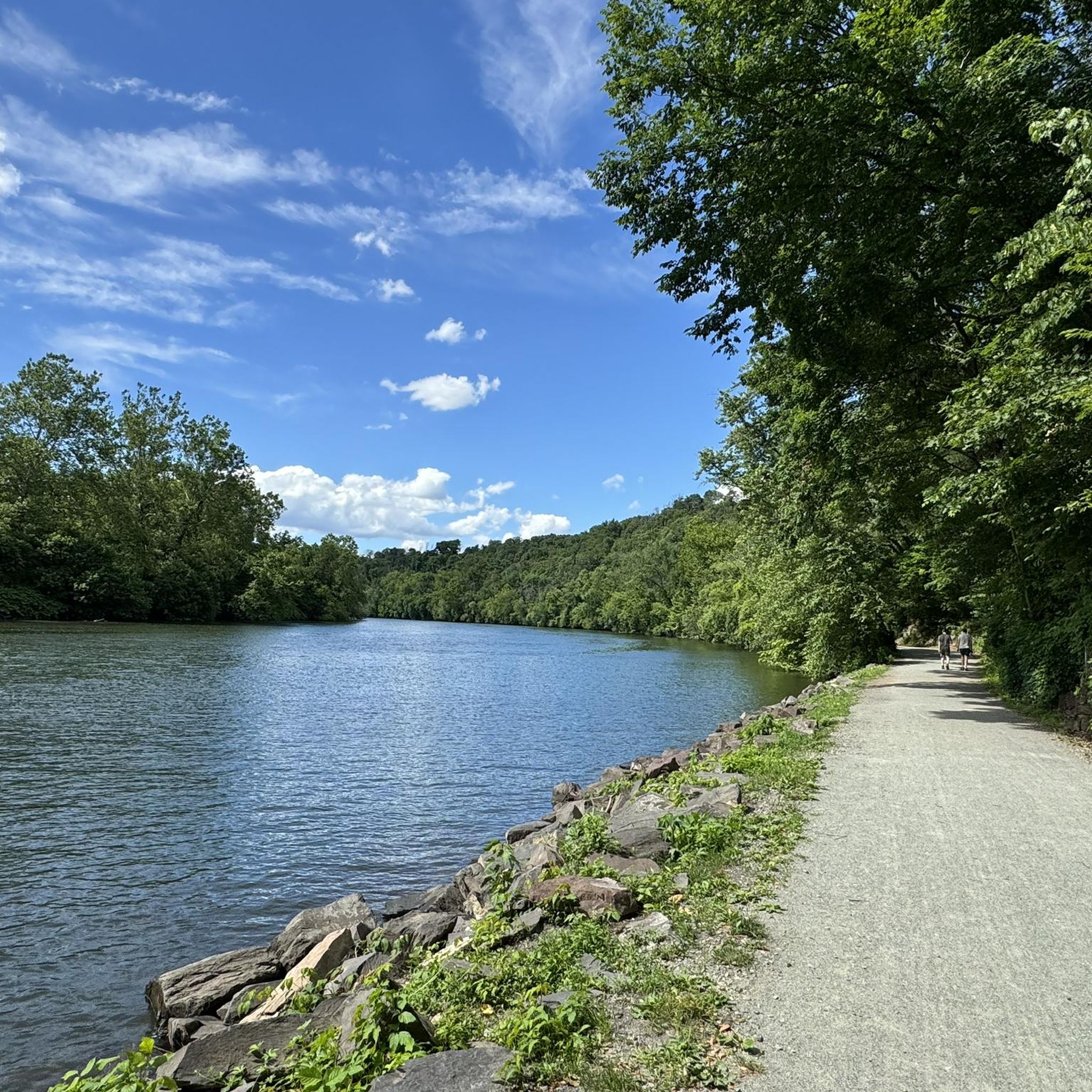
The Schuylkill River Trail, a multi-use path extending from Frackville in Schuylkill County through Montgomery, Chester, and Berks counties to Philadelphia, traverses the historically rich southeastern Pennsylvania region. The trail winds through rural, agricultural, suburban, urban, and industrial areas. It is a rail trail with over 75 miles of the trail being paved or surfaced with crushed stone and open to the public. Managed and developed by the Schuylkill River Trail Partners, there are ongoing plans to extend the trail.
0
0

The Knox Covered Bridge is a beautiful bridge over Valley Creek. It was originally built in 1851 and was recently refurbished.
0
0
Sullivan's Bridge is a bridge for non-motorized traffic and connects the Joseph Plumb Martin Trail and the Schuylkill River Trail. On your way across the bridge, there are great views of the Schuylkill River.
1
0

Varnum's Quarters is a two-story stone house on the property. The Stephens family owned the house, but General Varnum and six of his staff quartered in the house during part of the war.
0
0
If you bike the Valley Creek Trail, it's worth going all the way to the southern end to check out Knox Covered Bridge. This cool bridge was originally constructed in 1851 and was recently refurbished.
0
0
If you bike the Valley Creek Trail, it's worth going all the way to the southern end to check out Knox Covered Bridge. This cool bridge was originally constructed in 1851 and was recently refurbished.
0
0
Frequently Asked Questions
How many road cycling routes are available around Mont Clare?
There are over 75 road cycling routes around Mont Clare, offering a wide variety of options for different skill levels and preferences.
Are there easy road cycling routes for beginners in Mont Clare?
Yes, Mont Clare offers a good selection of easy road cycling routes. You can find over 20 routes suitable for beginners, often following the Schuylkill River with gentle inclines.
What are the typical distances for road cycling routes in Mont Clare?
Route distances vary, but many popular options range from 20 to 50 kilometers. For example, the View from Sullivan's Bridge loop from Cromby is 34.4 km, while the View from Sullivan's Bridge – Schuylkill River Trail loop from Mont Clare extends to 55.4 km.
Are there challenging road cycling routes for experienced cyclists around Mont Clare?
Yes, for more experienced cyclists, there are over 10 difficult routes available. A challenging option is the National Memorial Arch – Rapps Dam Covered Bridge loop from Phoenixville, which is over 100 km long with significant elevation gain.
What kind of terrain can I expect on road cycling routes in Mont Clare?
The terrain around Mont Clare is characterized by riverine landscapes and developed areas. Routes often follow the Schuylkill River, featuring gentle inclines and rolling sections, with some routes incorporating bridges and historical landmarks.
When is the best time of year for road cycling in Mont Clare?
Spring and fall generally offer the most pleasant conditions for road cycling in Mont Clare, with mild temperatures and vibrant scenery. Summer can also be enjoyable, though it can be warmer, while winter cycling is possible but requires appropriate gear for colder temperatures.
What do other road cyclists enjoy most about road cycling in Mont Clare?
The area is highly rated by the komoot community, with an average score of 4.9 stars from over 30 reviews. Reviewers often praise the scenic river trails, the variety of routes for different skill levels, and the well-maintained paths.
Are there any loop road cycling trails in Mont Clare?
Yes, many road cycling routes in Mont Clare are designed as loops. Popular options include the Schuylkill River Trail – Schuylkill River Trail loop from Mont Clare and the View from Sullivan's Bridge loop from Cromby.
What attractions can I see along the road cycling routes near Mont Clare?
Many routes offer views of local landmarks. You might pass by the National Memorial Arch or ride along sections of the scenic Schuylkill River Trail. Some routes also feature historical sites like the Ruins.
Are there family-friendly road cycling options in Mont Clare?
Routes along the Schuylkill River Trail are generally flat and well-paved, making them suitable for families. Look for easy-rated routes, which often provide a safe and enjoyable experience for all ages.
Where can I find parking for road cycling routes in Mont Clare?
Parking is typically available at various access points along the Schuylkill River Trail and in nearby towns like Phoenixville. Specific parking information can often be found on individual route pages or local park websites.
Are there cafes or places to stop for refreshments along the road cycling routes?
Given the routes often pass through or near developed areas and towns along the Schuylkill River, you will find various cafes, restaurants, and convenience stores where you can stop for refreshments.
Most popular attractions around Mont Clare

Get inspired with the komoot mobile app


Explore more
Browse the best Road cycling routes in other regions.
