The best road cycling routes around Mcmurray
83
riders
20
rides
Road cycling around Mcmurray is characterized by its location within Alberta's boreal forest, offering routes that traverse gently rolling hills and follow river valleys. The region features a network of paths, including sections of the Birchwood Trails, which provide paved surfaces suitable for road bikes. This landscape is defined by its vast woodlands and the confluence of the Athabasca, Clearwater, Hangingstone, and Horse Rivers. The terrain cycling Mcmurray offers a mix of moderate ascents and flatter sections, providing varied experiences…
Last updated: October 16, 2026
1
riders
49.4km
02:29
570m
570m
The Mingo Creek County Park from Canonsburg loop offers a delightful road cycling experience, primarily on a smooth, paved multi-use path. You'll pedal alongside the scenic Mingo Creek, enjoying views…
12.5km
00:42
160m
160m
This 7.8-mile loop in South Park, Pennsylvania, is listed as easy for racebikes, but is primarily an unpaved mountain biking trail.

16
riders
27.3km
01:31
400m
400m
Moderate road ride. Good fitness required. Mostly well-paved surfaces and easy to ride.
11
riders
19.7km
01:08
270m
270m
Easy road ride. Great for any fitness level. Mostly well-paved surfaces and easy to ride.
9
riders
16.7km
00:59
210m
210m
Easy road ride. Great for any fitness level. Mostly well-paved surfaces and easy to ride.
Get access to more routes and recommendations from other explorers.
Already have an account?
Our route recommendations are based on thousands of hikes, rides, and runs completed by other people on komoot.
Start today with a free account
Your next adventure awaits.




Tips from the Community

This is a nice little pond in the South Park Game Preserve with some cool turtle watching opportunities.
0
0

Mingo Creek County Park spans over 2,600 acres of serene woodlands and meadows. With trails, picnic areas, and opportunities for fishing and birdwatching, it's a beloved local escape for outdoor recreation. Keep in mind, the trails here at not suitable for a road bike, but it does make for a good resting stop.
0
0

This is a lovely little pond within South Park Game Reserve, with a small fountain in the middle. There is a walkway around the pond, so you can see the ducks and turtles up close.
1
0

Spreading Oak Spring is a picnic area in the northern end of South Park. Here there is parking, restrooms, playground and a sheltered picnic area.
0
0

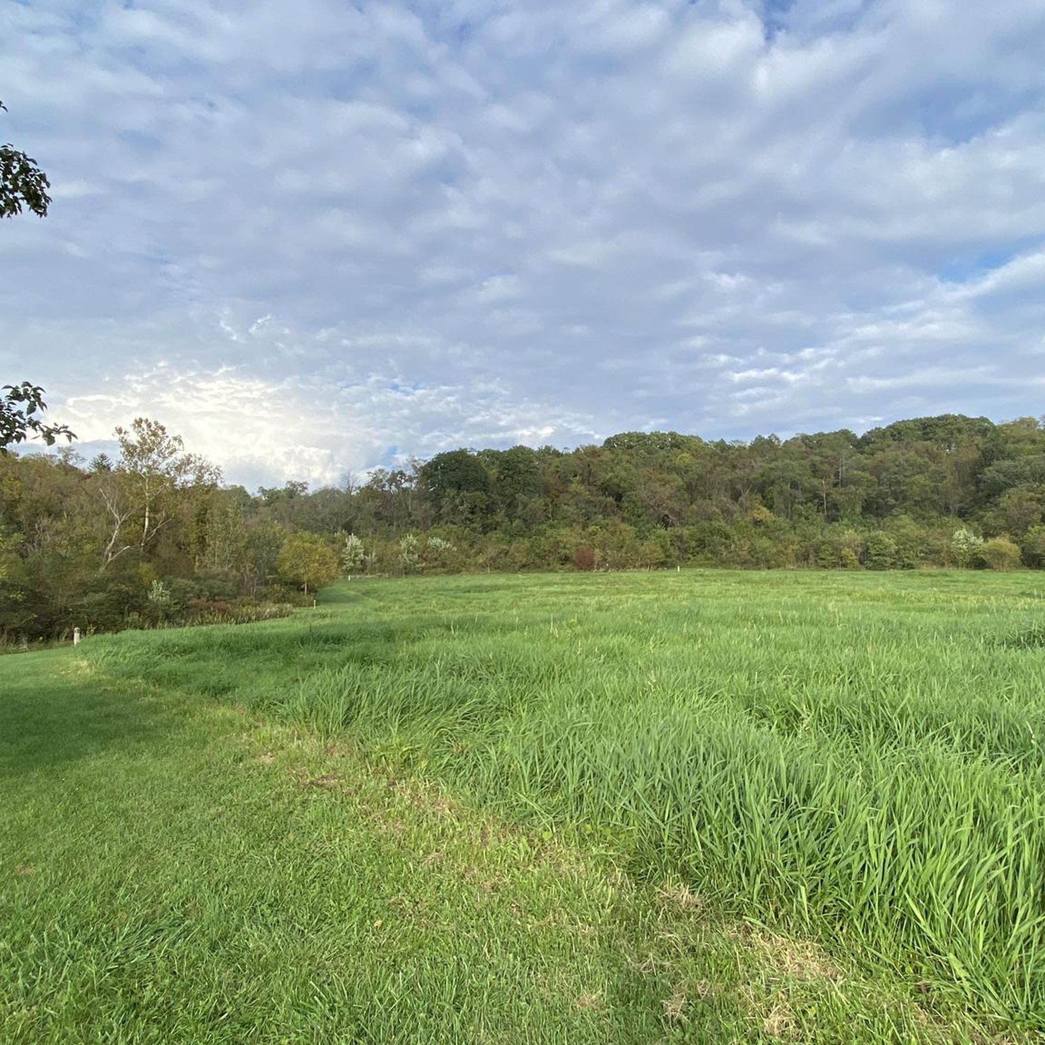
This lovely winding stretch of road has beautiful views of the surrounding woods and grassland. There is also a bike friendly paved path adjacent to the road if you'd prefer to be traffic free.
0
0

Between 1928-1932 many stone features were built as part of the style of South Park. The Edgebrook Shelter is one of these structures. Often called Oven Shelters or Camp Shelters you can find other similar ones in this area in different states of repair.
0
0
Between 1928-1932 many stone features were built as part of the style of South Park. The Edgebrook Shelter is one of this structures. Often called Oven Shelters or Camp Shelters you can find other similar ones in this area in different states of repair.
0
0
Frequently Asked Questions
How many road cycling routes are available around Mcmurray?
There are over 20 road cycling routes available around Mcmurray on komoot, offering a variety of experiences for different skill levels. These include 2 easy routes, 18 moderate routes, and 2 more challenging options.
What kind of terrain can I expect on road cycling routes in Mcmurray?
Road cycling in Mcmurray features a mix of gently rolling hills and flatter sections, often following river valleys. The region is enveloped by the boreal forest, providing a scenic backdrop. Some routes utilize paved sections of the extensive Birchwood Trails network.
Are there easy road cycling routes suitable for beginners in Mcmurray?
Yes, Mcmurray offers easy road cycling routes perfect for beginners. An excellent option is the South Park and Buffalo Ridge Loop, an easy 7.8-mile (12.5 km) path with gentle gradients through parkland.
Are there challenging road cycling routes with significant elevation gain in Mcmurray?
For those seeking a challenge, Mcmurray has routes with significant elevation gain. The Mingo Creek County Park from Canonsburg loop, for example, is a moderate 30.7-mile (49.4 km) trail featuring over 1,870 feet (570 meters) of elevation gain.
What natural features will I encounter on road cycling routes in Mcmurray?
Road cycling routes in Mcmurray often take you through the vast boreal forest, offering lush natural settings and opportunities for wildlife viewing. The region is also defined by the confluence of the Athabasca, Clearwater, Hangingstone, and Horse Rivers, with some routes providing views of these waterways.
Are there any interesting landmarks or attractions along the road cycling routes?
Yes, several routes pass by interesting landmarks. For instance, the South Park Turtle Pond – Duck Pond loop from South Park Township takes you near the Duck Pond and South Park Turtle Pond. Other routes might lead you past historical structures like the Covered Bridge or the National Tunnel.
What is the best time of year to go road cycling in Mcmurray?
The best time for road cycling in Mcmurray is typically from late spring through early autumn, when the weather is mild and the trails are clear of snow and ice. This period allows you to fully enjoy the boreal forest and river landscapes.
Are there any loop trails for road cycling in Mcmurray?
Yes, many road cycling routes in Mcmurray are designed as loops, offering convenient starting and ending points. Examples include the Mingo Creek County Park from Canonsburg loop and the South Park Turtle Pond – Duck Pond loop from South Park Township.
Are there family-friendly road cycling routes in Mcmurray?
Mcmurray offers several family-friendly road cycling options, particularly on the paved sections of the Birchwood Trails network. Routes like the South Park and Buffalo Ridge Loop are easy and suitable for families looking for a relaxed ride.
Where can I find parking for road cycling routes in Mcmurray?
Parking availability varies by route. Many of the routes that start in or near park areas, such as those around South Park, typically have designated parking lots. For routes utilizing the Birchwood Trails, various access points often provide parking facilities.
What do other road cyclists enjoy most about road cycling in Mcmurray?
Road cyclists often praise Mcmurray for its unique blend of boreal forest scenery and river views. The varied terrain, from gentle parkland gradients to more challenging climbs, is also frequently highlighted as a positive aspect, offering something for every skill level.
Can I access road cycling routes in Mcmurray using public transport?
While specific public transport access directly to trailheads may vary, Fort McMurray Transit serves various parts of the city. Cyclists can plan their routes to start near transit stops, especially for trails accessible from urban or suburban areas.
Most popular attractions around Mcmurray

Get inspired with the komoot mobile app


Explore more
Browse the best Road cycling routes in other regions.
