The best walks and hikes around Eagleville
4.8
(39)
732
hikers
73
hikes
Hiking around Eagleville, Pennsylvania, provides access to a landscape of rolling hills, river valleys, and extensive historical parklands. The region's terrain is largely shaped by its proximity to Valley Forge National Historical Park and the Schuylkill River. The network of paths consists of both paved and unpaved surfaces with generally gentle elevation changes, offering a mix of historical sites and natural scenery.
Best hiking trails around Eagleville
- The most popular hiking route is Joseph Plumb Martin Trail loop — Valley…
Last updated: August 22, 2026
4.5
(4)
46
hikers
8.78km
02:19
70m
90m
Embark on the Skippack Creek Loop Trail for a refreshing hike through Evansburg State Park. This moderate route spans 5.5 miles (8.8 km) and involves a gentle elevation gain of…
4
hikers
8.13km
02:06
30m
60m
The Zacharias Creek Trail offers a moderate hike spanning 5.1 miles (8.1 km), with a gentle elevation gain of 89 feet (27 metres). You can expect to complete it in…

Sign up for free
3
hikers
2.16km
00:34
10m
10m
Embark on the Farm Park Trail Loop for an easy hike through a charming airy farmland atmosphere. This route guides you past vast open fields, serene creek areas, and a…
7.38km
01:53
30m
30m
The Schuylkill River Trail from Betzwood to Port Providence offers a delightful, easy 4.6-mile (7.4 km) hike with minimal 92 feet (28 metres) of elevation gain, typically completed in under…
21.0km
05:27
130m
110m
This difficult 13.1-mile hiking loop near Audubon, Pennsylvania, offers diverse terrain, historical sites, and excellent birding opportuniti
Get access to more routes and recommendations from other explorers.
Sign up for free
Already have an account?
Our route recommendations are based on thousands of hikes, rides, and runs completed by other people on komoot.
Start today with a free account
Your next adventure awaits.
Login or Signup



Tips from the Community

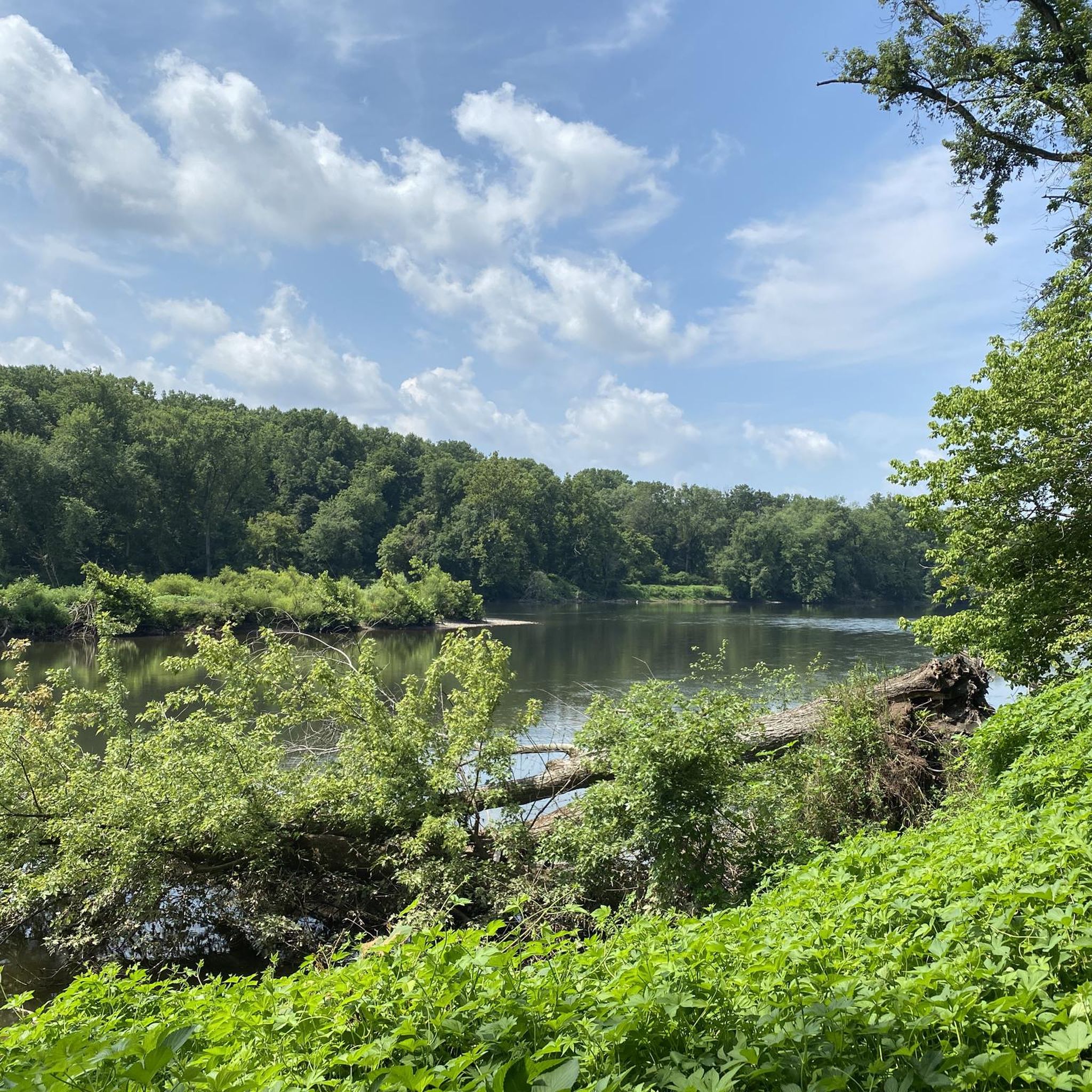
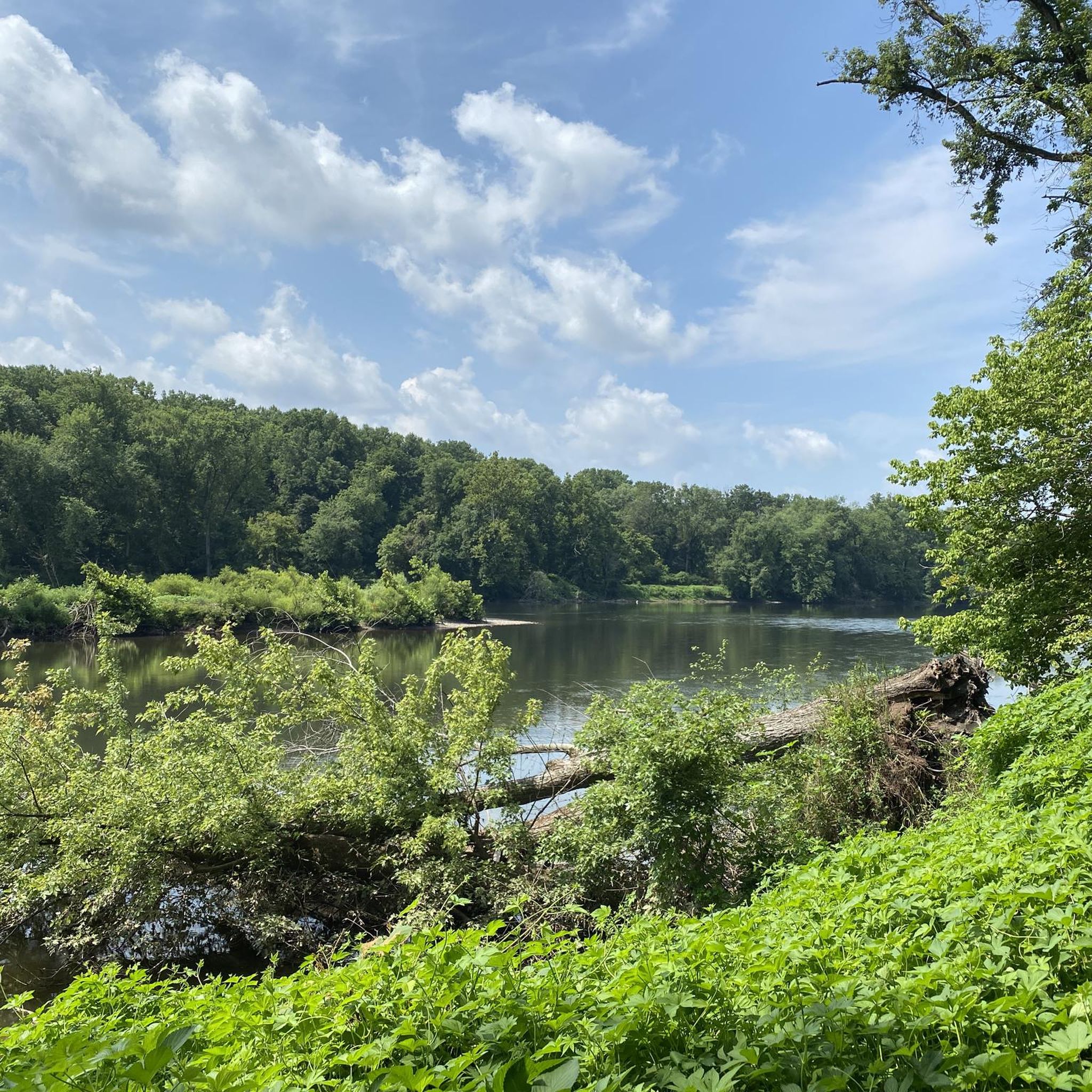
This is a perfect spot to access the Schuylkill River Trail. At this trailhead, you'll find a dog park and a picnic area—an excellent place to start your journey or turn around and head back.
1
0

The Lower Perkiomen Valley Park is a 107 acre park in Upper Providence Township. From the park, there is access to the Perkiomen Trail, great views of the Perkiomen Creek and several nature trails.
0
0

Best section of this loop hike was along the eastern side of Skippack Creek. The trail was littered with fallen leaves and being elevated above the creek, it allowed for better views.
1
0
Frequently Asked Questions
Are there many hiking trails to choose from around Eagleville?
Yes, there are over 45 hiking routes to explore around Eagleville. The collection includes 34 easy trails perfect for a relaxed day out, 12 moderately challenging routes, and one difficult trail for those seeking a tougher workout.
What do other hikers say about the trails near Eagleville?
The trails around Eagleville are highly rated by the komoot community. Reviewers often praise the combination of well-maintained paths through historical parklands, particularly in Valley Forge, and the scenic beauty of the Schuylkill River valley.
Are there any easy, family-friendly hikes in the area?
Absolutely. The region is great for families. A good option is the Eastern Bank Loop Trail loop from Collegeville. It's a relatively flat, 4.6-mile (7.5 km) walk that's suitable for all skill levels and offers a pleasant outdoor experience.
Can I bring my dog on the hiking trails?
Many trails in the Eagleville area, especially within state and national parks like Valley Forge, are dog-friendly. However, dogs are typically required to be on a leash. Always check the specific regulations for the park you plan to visit before you go.
Are there any circular or loop trails available?
Yes, loop trails are very common around Eagleville, allowing you to enjoy a varied hike without retracing your steps. For a longer loop, consider the Sullivan's Bridge and River Trail loop, an 8-mile (12.8 km) route that offers great views along the river.
What is the terrain like on the trails around Eagleville?
The terrain is quite varied. You'll find everything from flat, paved multi-use paths like the Schuylkill River Trail to unpaved, woodland trails with some elevation gain. Most routes feature rolling hills rather than steep, sustained climbs, making the area accessible to most hikers.
Where can I find good scenic views while hiking?
For scenic views, trails that offer some elevation are your best bet. Routes that ascend hills like Mount Misery within Valley Forge National Historical Park provide rewarding vistas over the surrounding landscape and historical encampments.
Are there any hiking trails with waterfalls near Eagleville?
While the immediate Eagleville area is known more for its rolling hills and river valleys, prominent waterfalls are not a common feature on the local trails. Hikes here focus more on historical scenery and serene woodlands.
What are some other parks for hiking near Eagleville besides Valley Forge?
Beyond Valley Forge, you can find excellent hiking in several nearby parks. Evansburg State Park, Norristown Farm Park, and Lower Perkiomen Valley Park all offer extensive trail networks that explore the woodlands and creeks of Montgomery County.
Where is the best place to park for hikes in Valley Forge National Historical Park?
Valley Forge National Historical Park has numerous parking lots spread throughout its grounds. For most trails, it's best to park at the lot closest to your chosen trailhead. The main Visitor Center is a good starting point with ample parking, restrooms, and information.
Can I access the hiking trails using public transport?
Accessing trailheads directly via public transport can be challenging. While some bus routes may get you close to the larger parks like Valley Forge, most trailheads are best reached by car. It's recommended to drive to ensure you can easily get to the start of your hike.
Most popular attractions around Eagleville

Get inspired with the komoot mobile app


Explore more
Browse the best Hikes in other regions.
