The best walks and hikes around Dauberville
3.8
(10)
56
hikers
5
hikes
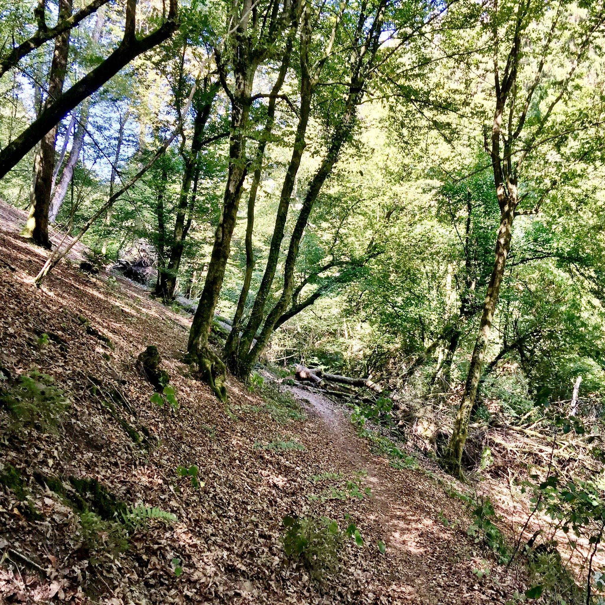
Hiking around Dauberville is centered on the landscape of Berks County, Pennsylvania, characterized by large reservoirs, dense forests, and multi-use trail networks. The terrain primarily consists of lakeside paths and woodland trails with gentle elevation changes. Many routes follow the shoreline of Blue Marsh Lake or utilize former railway corridors, offering a mix of dirt, gravel, and paved surfaces. This variety provides options for both easy, family-friendly walks and longer, more involved hikes.
Best hiking trails around Dauberville
- The most…
Last updated: August 22, 2026
3.32km
00:54
40m
40m
The Lake Border Trail offers a refreshing escape into the natural beauty surrounding Blue Marsh Lake, providing a dynamic backdrop of open fields and woodlands. You'll find yourself traversing varied…
1.03km
00:16
0m
0m
The West Shore Drive Trail offers a truly unique hiking experience, where vibrant street art meets tranquil nature. This easy, paved pathway leads you to the remarkable "Graffiti Bridge," a…

Sign up for free
4.0
(1)
9
hikers
11.8km
03:12
160m
160m
Embark on the Lake Border Trail - North Loop, a moderate hiking route spanning 7.3 miles (11.8 km) with an elevation gain of 536 feet (163 metres). You can expect…
6
hikers
5.65km
01:27
20m
20m
The Muhlenberg Rail Trail offers a pleasant, easy escape on a fully paved asphalt surface, perfect for a relaxed walk or jog. As you follow the former railroad corridor, you'll…
4
hikers
2.11km
00:32
0m
0m
Step onto the West Shore Drive trail for an unexpectedly vibrant hiking experience in Berks County, Pennsylvania. This easy 1.3-mile (2.1 km) route, with a mere 11 feet (3 metres)…
Our route recommendations are based on thousands of hikes, rides, and runs completed by other people on komoot.
Start today with a free account
Your next adventure awaits.
Login or Signup
Popular around Dauberville
Tips from the Community

This abandoned highway runs along the Lake Ontelaunee shore. Both ends are blocked off to vehicle traffic and can be used as parking. It's a very peaceful paved path with stunning views of the water.
1
0

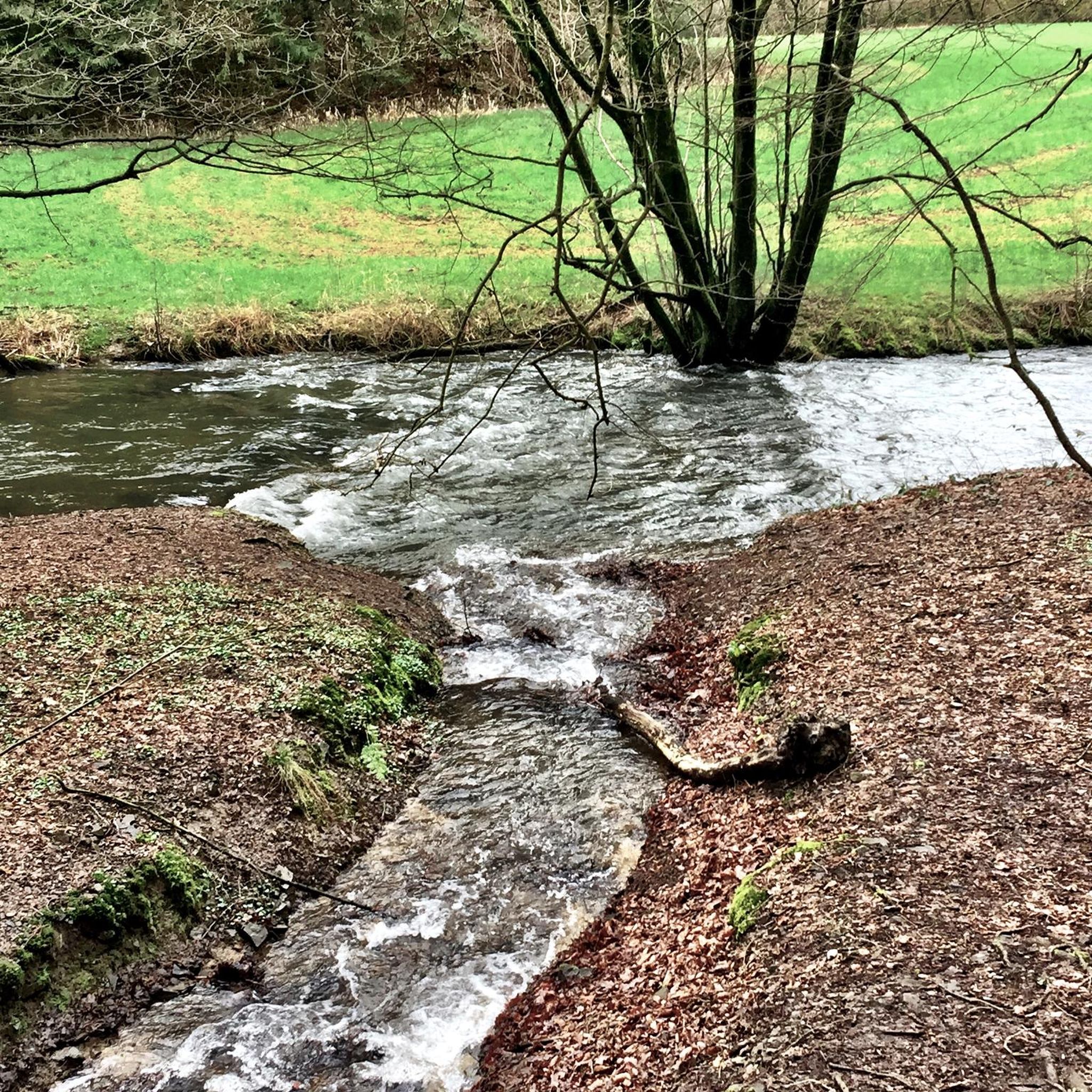
This small footbridge crosses the creek. There are a number of bridges on the Lake Border Trail, and they can get pretty slick in the early mornings and after rainy days.
0
0

Great view of the lake from here. If you want, you can shorten your journey on the Lake Border Trail by crossing the bridge. There is plenty of space for cyclists and pedestrians.
0
0

The Muhlenberg Rail Trail is a fully paved multiuse trail that was built on the spot of the old East Penn Branch of the Reading Railroad. It is mostly flat and is a very popular path for walkers, runners and cyclists.
0
0
This small footbridge crosses the creek. There are a number of bridges on the Lake Border Trail, and they can get pretty slick in the early mornings and after rainy days.
0
0
You can cut the Lake Border Trail in half by walking across the Church Road Bridge. You also get a pretty great view of the lake from here.
0
0
In total, the Lake Border Trail is a nearly 30-mile loop around Blue Marsh Lake. The southern part of the trail sees more users than the northern part, but the entire trail system sees quite a few trail users on a daily basis. The trail is open to hikers, runners, and cyclists, but the trails should be avoided after rainy days because they can get pretty muddy.
1
0
Frequently Asked Questions
Are there many easy, beginner-friendly hikes near Dauberville?
Yes, the area offers several accessible trails perfect for beginners or a relaxed day out. A great option is the Muhlenberg Rail Trail, which is a flat, paved path suitable for all skill levels. Many trails within Nolde Forest Environmental Education Center also feature gentle terrain.
Can I bring my dog on the hiking trails?
Most trails in the Dauberville area, including the extensive network around Blue Marsh Lake and in French Creek State Park, are dog-friendly. However, dogs must be kept on a leash at all times. Always check the specific regulations for the park or trail you plan to visit before you go.
What are the best family-friendly or kid-friendly trails?
For a short and engaging walk with children, consider the Skinner's Loop. Its relatively short distance and easy terrain make it manageable for little legs. The Squirrel Run Track Trail at Blue Marsh Lake is another excellent choice, as it's a self-guided nature trail that can be both fun and educational for kids.
Are there any challenging hikes for experienced hikers?
Yes, for those seeking a challenge, the region offers some strenuous routes. The full loop around Blue Marsh Lake is a demanding 22-mile (35.5 km) hike. For a significant climb with rewarding views, the Pulpit Rock and The Pinnacle loop on the Appalachian Trail near Hamburg is a classic, difficult hike known for its rocky terrain and steep ascents.
Where can I find hikes with the best scenic views?
For panoramic views of the surrounding ridges and the Lehigh Valley, the vistas from Pulpit Rock and The Pinnacle are hard to beat. For a more accessible but equally impressive view, the historic Reading Pagoda on Mount Penn offers a sweeping overlook of the city and landscape.
Are there many circular or loop trails available?
The area is well-suited for loop hikes, especially around Blue Marsh Lake. The Tulpy Flow Trail & Lake Border Trail loop is a popular choice that offers varied scenery over a manageable distance without needing to backtrack.
What makes Blue Marsh Lake a popular hiking destination?
Blue Marsh Lake is a major hub for outdoor recreation due to its 30-mile multi-purpose trail that encircles the entire lake. This trail offers constantly changing, picturesque views of the water and surrounding forests. The terrain varies from wide gravel paths to narrower dirt tracks, providing options for hikers of all abilities.
Are there any trails with waterfalls in the Dauberville area?
The primary hiking attractions around Dauberville are the large lakes, dense forests, and scenic overlooks rather than waterfalls. While some trails follow streams and creeks, such as those in Nolde Forest, significant waterfalls are not a prominent feature of the local trail systems.
What are the trail conditions like? Are they paved?
Trail surfaces vary throughout the region. You'll find paved rail-trails like the Schuylkill River Trail, while the paths around Blue Marsh Lake are a mix of gravel, dirt, and old roadbeds. Trails in state parks like French Creek are typically natural surface, dirt paths that can be rocky or rooty in sections.
How do I get to the trailheads? Is parking available?
Most trail systems, particularly at Blue Marsh Lake, French Creek State Park, and Hawk Mountain Sanctuary, are best accessed by car. These locations have designated parking areas near the main trailheads. Public transport options to the more remote trailheads are limited, so planning to drive is recommended.
Can I go hiking in the winter?
Yes, hiking is a year-round activity in the Dauberville area. Flatter trails like the Muhlenberg Rail Trail and parts of the Schuylkill River Trail are often accessible even with light snow. For woodland trails, be prepared for icy or muddy conditions and wear appropriate footwear with good traction, such as microspikes.
What do other hikers say about the trails around Dauberville?
The trails around Dauberville are well-regarded by the komoot community. Hikers often praise the well-marked trail system at Blue Marsh Lake and the peaceful, forested environment. The variety of trail lengths and difficulties means there is something for everyone, from casual walkers to serious hikers.
Most popular routes around Dauberville
Most popular attractions around Dauberville

Get inspired with the komoot mobile app


Explore more
Browse the best Hikes in other regions.
