The best walks and hikes around Browntown
4.5
(7)
43
hikers
6
hikes
Hiking around Browntown explores varied landscapes, including forested hills, lakeside paths, and rail trails along river corridors. The region's terrain is characterized by woodland trails and converted rail trails, offering diverse experiences. Notable features include local rock outcroppings and areas with elevation gain. The network of routes provides options for different fitness levels.
Best hiking trails around Browntown
- The most popular hiking route is Deer, Hilltop & Maconaquah Trail loop — Frances Slocum State Park, a 5.6 miles (9.0 km)…
Last updated: June 29, 2026
2.54km
00:53
210m
40m
The Campbell's Ledge Lookout Trail offers a surprisingly grand vista for a relatively short hike. You'll ascend through wooded areas, navigating a mix of dirt, gravel, and rocky sections, before…
13.4km
03:23
30m
30m
The Luzerne County Levee Trail offers a delightful and accessible experience, winding along the Susquehanna River on a wide, paved surface. You'll pass through a mix of natural riverine scenery…

Sign up for free
6.96km
02:04
250m
120m
The Campbell's Ledge and Reservoir Loop takes you through lush forests and past historical coal mine remnants, offering a diverse experience. You'll traverse varied terrain, from dirt paths to steep,…
3
hikers
5.87km
01:47
210m
210m
The Campbell's Ledge & Reservoir loop offers a delightful blend of natural beauty and historical intrigue, making it one of the more popular trails in Luzerne County. You'll traverse varied…
2
hikers
5.99km
01:32
20m
20m
The Luzerne County Rail Trail offers a delightful and accessible escape, winding alongside the Susquehanna River with continuous scenic views. You'll traverse a mostly flat path of crushed stone and…
Our route recommendations are based on thousands of hikes, rides, and runs completed by other people on komoot.
Start today with a free account
Your next adventure awaits.
Login or Signup
Popular around Browntown


Tips from the Community

The Luzerne County Rail Trail, also known as the Luzerne County National Recreation Trail, runs about 2 miles along an active rail line and the Susquehanna River. Along the way, you'll have alternating views of the river and rock cliffs.
0
0

Nestled along the banks of the Susquehanna River, Pittston River Park is a beautiful location, boasting spectacular water views. There are picnic tables and several benches, making it a lovely spot to take a break, relax by the river, and enjoy the beauty of the city.
0
0
This picturesque 25-acre lake includes a lovely trail for a scenic hike around its perimeter. Nestled on 246 private acres, parking is allowed on Coxton Road, with two trail gates for reservoir access. The state land gate allows public access entry to enjoy this incredibly scenic area.
0
0
Campbell's Ledge towers nearly 700 feet over the Susquehanna River, and gives you an incredible 30-mile view across the valley. The access trails to this location are privately held and may be closed at the owners discretion. Also, the ledge is extremely exposed and any fall here will be your last, so exercise caution near the edge.
0
0
Campbell's Ledge towers nearly 700 feet over the Susquehanna River, and gives you an incredible 30-mile view across the valley. The access trails to this location are privately held and may be closed at the owners discretion. Also, the ledge is extremely exposed and any fall here will be your last, so exercise caution near the edge.
0
0
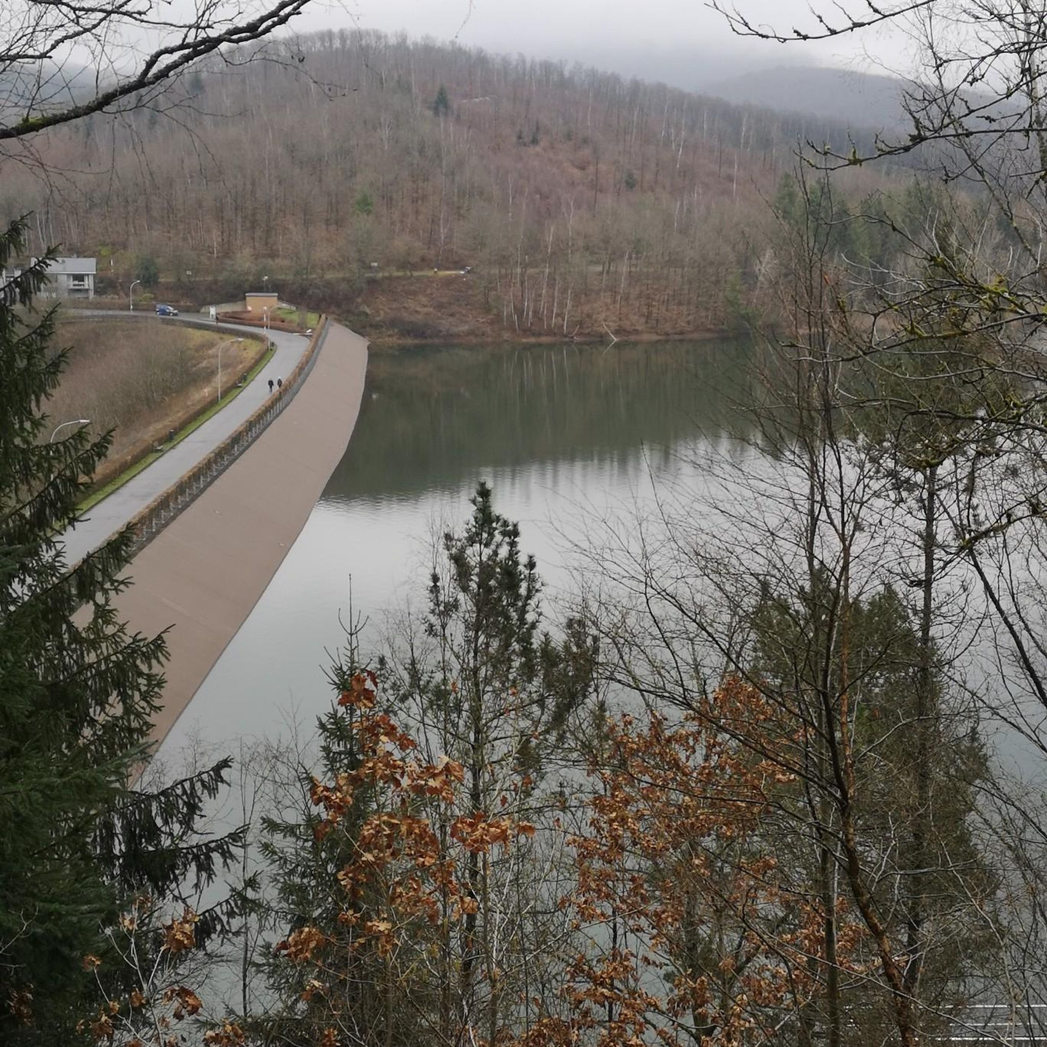
This reservoir is lesser known than its namesake ledge, just a short distance away. However, it offers a serene setting with excellent views, especially if you happen to be around near sunset.
0
0
Frequently Asked Questions
Are there any easy, family-friendly hikes near Browntown?
Yes, the region offers several accessible trails perfect for a family outing. A great option is the Seven Tubs Main Loop loop from Parsons. It's a relatively short walk that allows you to explore the area without too much difficulty.
What are the options for a more strenuous hike?
For those seeking more of a challenge, the Campbell's Ledge – Campbell's Ledge loop from Duryea is a great choice. This moderate route involves more elevation gain, rewarding hikers with scenic views from the rock outcropping.
Can I take my dog on the trails around Browntown?
Many trails in the area are suitable for hiking with a dog, provided they are kept on a leash. The Luzerne County Rail Trail — Pittstown is a good choice, as its wide, flat path is comfortable for both you and your four-legged companion.
Are there any circular walks available?
Yes, there are several loop trails so you can end your hike where you started. The Deer, Hilltop & Maconaquah Trail loop within Frances Slocum State Park is a popular circular route that takes you through beautiful woodlands.
Where can I find the most scenic views?
For a rewarding vista, the trail to Campbell's Ledge is highly recommended. The Campbell's Ledge & Reservoir loop includes a climb to this rock outcropping, which offers great views of the surrounding landscape.
What do other hikers think of the trails near Browntown?
The trails around Browntown are well-regarded by the komoot community, with an average rating of 4.3 stars. Hikers often praise the region's mix of quiet woodland paths, lakeside scenery, and well-maintained rail trails.
Are there any hikes that go along a lake or river?
Yes, many routes explore the region's waterways. Hikes within Frances Slocum State Park, for example, often feature paths that run alongside the 165-acre Frances Slocum Lake, offering lovely water views.
What is the terrain like for hiking around Browntown?
The terrain is quite varied. You'll find everything from flat, easy-to-walk rail trails along river corridors to moderately challenging climbs through forested hills. This mix provides suitable options for different fitness levels and preferences.
What should I pack for a day hike in the area?
For any hike, it's essential to wear sturdy footwear with good grip. We recommend bringing:
- Water and snacks
- A fully charged phone
- A map or the komoot app for navigation
- A small first-aid kit
- Weather-appropriate clothing, like a rain jacket or extra layers, as conditions can change.
Are there state parks with good hiking trails nearby?
Yes, Frances Slocum State Park is a major hub for hiking in the area. It contains a network of trails, including lakeside loops and woodland paths, making it a popular destination for a full day of outdoor activity.
How many hiking trails are there around Browntown?
While this guide highlights the top routes, there are many more trails to discover. The komoot community has shared dozens of routes, showcasing the extensive network of paths through the region's state parks, nature preserves, and forests.
Most popular routes around Browntown
Most popular attractions around Browntown

Get inspired with the komoot mobile app


Explore more
Browse the best Hikes in other regions.
