The best road cycling routes around Boston
4.9
(6)
739
riders
6
rides
Road cycling around Boston offers a diverse landscape that combines urban environments with natural features. The region is characterized by riverfront paths, extensive park systems, and historical areas, providing varied terrain for cyclists. These routes often follow waterways and green corridors, connecting different neighborhoods and natural spaces. The topography includes relatively flat sections along rivers, with some areas featuring gentle hills.
Best road cycling routes in Boston
- The most popular road cycling route is Great Allegheny Passage, a 38.1…
Last updated: July 7, 2026
5.0
(2)
228
riders
61.2km
02:56
340m
340m
Moderate road ride. Good fitness required. Mostly well-paved surfaces and easy to ride.
4.5
(2)
196
riders
101km
05:21
870m
870m
Hard road ride. Very good fitness required. Some segments of this route may be unpaved and difficult to ride.
18
riders
31.2km
01:33
150m
150m
Moderate road ride. Great for any fitness level. Some segments of this route may be unpaved and difficult to ride.
Get access to more routes and recommendations from other explorers.
Sign up for free
Already have an account?
Our route recommendations are based on thousands of hikes, rides, and runs completed by other people on komoot.
Start today with a free account
Your next adventure awaits.
Login or Signup


Tips from the Community

Color park is really pretty butt getting to it from the point is a little rough with the brick roads.
0
0

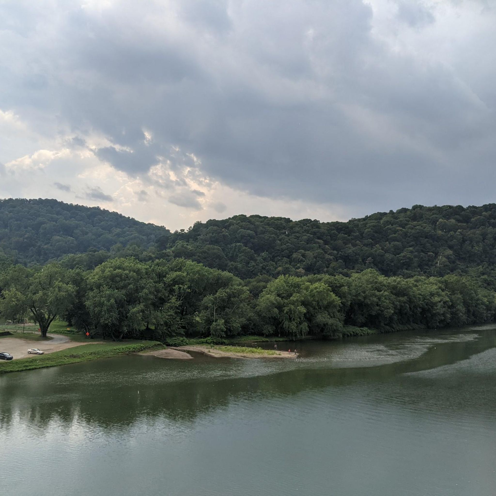
Great ride along the river with several places to pull off and enjoy the view.
0
0

If You need water, don't count on public water fountains in Pittsburgh because they barely ever get turned on.
1
0
This is where the Allegheny River and the Monongahela River meat to form the Ohio River.
1
0

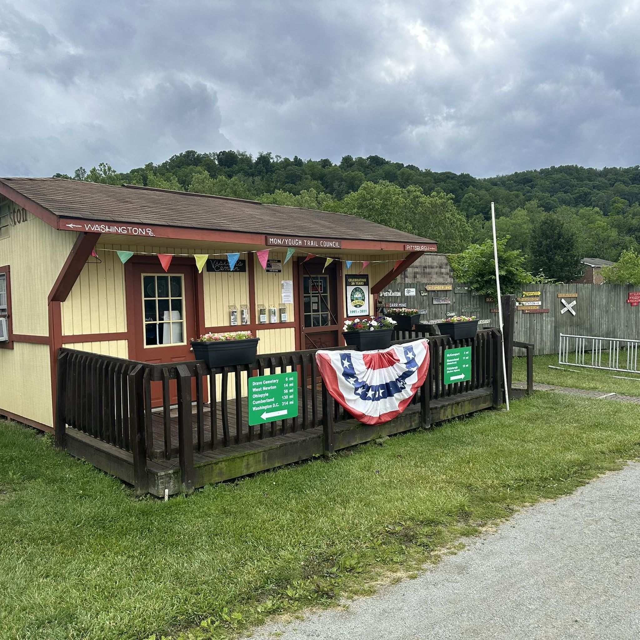
McKeesport is a historic city at the confluence of the Monongahela and Youghiogheny rivers. During the 20th century, it was an important hub of steel manufacturing and was the home of National Tube Works Company, which later become US Steel. The steel industry is no longer a main economic factor in the area, but the city is a popular stop along the GAP, because it has many restaurants, bars, and accommodation options.
0
1
The Hot Metal Bridge is one of the most recognizable landmarks along the GAP. It crosses the Monongahela River and was an important bridge during the city's industrial heyday. Now, it is a great place to cross by bike and get a wonderful view of the city and river below.
1
0

The P&LE McKeesport Bridge is an American truss bridge which spans the Youghiogheny River and connects the east and west banks of the Pittsburgh industrial suburb of McKeesport
1
0
Frequently Asked Questions
What types of road cycling routes can I find around Boston?
Boston and its surrounding areas offer a diverse range of road cycling routes. You'll find scenic riverfront paths like the Charles River Bike Path, historic rail trails such as the Minuteman Bikeway, and urban greenways that weave through parks and neighborhoods. The terrain varies from relatively flat sections along waterways to areas with gentle hills, catering to different preferences and skill levels.
Are there any family-friendly road cycling routes in Boston?
Yes, Boston has several excellent options for family-friendly road cycling. The Great Allegheny Passage is a moderate route that offers a pleasant experience. Additionally, the Charles River Bike Path and the Minuteman Bikeway are largely paved, car-free, and relatively flat, making them ideal for families with children. These paths often pass by parks and points of interest, providing opportunities for breaks.
What are some scenic road cycling routes with views or landmarks?
For scenic rides, the Charles River Bike Path offers stunning views of the Boston and Cambridge skylines and passes by landmarks like the Museum of Science and university campuses. The Minuteman Bikeway is rich in history, taking you through areas significant to the American Revolution. The Emerald Necklace system, including the Arnold Arboretum, provides beautiful landscapes and even city skyline views from Peters Hill. While the specific routes in our guide are located elsewhere, the Boston region itself is full of picturesque options.
Can I find road cycling routes accessible by public transport in Boston?
Many of Boston's popular road cycling routes are easily accessible via public transport. The city's extensive MBTA system (subway, bus, commuter rail) connects to various trailheads and bike paths. For instance, the Charles River Bike Path and parts of the Emerald Necklace are well-served by public transit, allowing you to reach starting points without a car. Bluebikes, the city's bike-share program, also has numerous stations for convenient access.
What is the best time of year for road cycling in Boston?
The best time for road cycling in Boston is generally from spring through fall (April to October). During these months, the weather is typically mild and pleasant, with vibrant foliage in the autumn. Summer offers warm temperatures, perfect for longer rides, while spring brings blooming landscapes. Winter cycling is possible but requires appropriate gear due to colder temperatures and potential snow or ice.
Are there any challenging road cycling routes for experienced riders?
While many routes in Boston are relatively flat, experienced riders seeking a challenge can find options with more significant elevation. For instance, the Point State Park – Homestead Pump House loop from Glassport is a difficult 62.2-mile (100.1 km) path with substantial elevation gain. Beyond the immediate city, areas like the Blue Hills Reservation offer varied terrain and rewarding climbs, and heading west of Boston can lead to hillier countryside.
What do other road cyclists enjoy most about road cycling in Boston?
The road cycling experience in the Boston area is highly rated by the komoot community, with an average score of 4.8 stars. Reviewers often praise the diverse landscape that combines urban environments with natural beauty, the well-maintained paths, and the historical significance of many routes. The variety of terrain, from riverfront paths to green corridors, is also frequently highlighted as a major draw.
Are there any road cycling routes that feature waterfalls or unique natural features?
While Boston's urban core is more known for its historical sites and riverfronts, some routes offer unique natural features. The Red Waterfall loop from Mount Vernon is a moderate route that specifically features a waterfall. Within Boston, Jamaica Pond, a glacial kettle hole, is a scenic highlight along the Jamaicaway Bike Path, and the Arnold Arboretum offers a world-class collection of trees and plants.
Where can I find loop road cycling trails in Boston?
Boston offers several excellent loop options for road cyclists. The Charles River Bike Path can be ridden as a loop by crossing bridges at various points, providing different length options. The Emerald Necklace also forms a series of interconnected parks that can be explored in loops. For a specific example, the The Great Allegheny Passage – The Great Allegheny Passage loop from Versailles is a moderate 19.4-mile (31.2 km) trail that forms a loop through river valleys.
Are there any road cycling routes with cafes or pubs nearby?
Yes, many road cycling routes in and around Boston pass through or near vibrant neighborhoods with cafes, pubs, and restaurants. The Minuteman Bikeway, for example, goes through historic Lexington Center, which has numerous dining options. Routes along the Charles River are close to establishments in Cambridge and Boston. The urban nature of many paths means you're rarely far from amenities for a refreshment stop.
What kind of terrain can I expect on road cycling routes in Boston?
Road cycling routes in Boston feature a mix of terrain. You'll find extensive paved paths along riverfronts and through parks, offering relatively flat and smooth riding. Some routes, particularly those extending into the suburbs or areas like the Blue Hills Reservation, will include gentle to moderate hills. The region is characterized by urban greenways, historical rail trails, and park systems, providing varied surfaces and gradients.
Are there options for longer road cycling tours around Boston?
For those looking for longer road cycling tours, Boston and its surrounding areas provide ample opportunities. The Point State Park – Homestead Pump House loop from Glassport is a challenging 62.2-mile (100.1 km) route. The Charles River Bike Path, while not a single long loop, can be combined with other urban routes for extended rides. Further afield, routes like the 46-mile loop to Walden Pond utilizing the Minuteman Bikeway offer significant distances for a full day out.
Most popular routes around Boston
Most popular attractions around Boston

Get inspired with the komoot mobile app


Explore more
Browse the best Road cycling routes in other regions.
