The best road cycling routes around State College
4.3
(10)
482
riders
24
rides
Road cycling routes around State College, Pennsylvania, traverse diverse landscapes characterized by rolling pastures, vast state forests, and prominent hills. The region offers an extensive network of well-marked bike lanes and countryside roads. These routes provide varied experiences, from challenging rides with significant elevation gain to more moderate loops through charming small towns. The terrain includes both relatively flat sections and areas with sustained climbs, catering to different skill levels.
Best road cycling routes around State College
- The most popular road cycling route is Stone Forest loop, a 57.9 miles (93.3 km) trail that takes 4 hours 17 minutes to complete. This difficult route features significant elevation gain, making it suitable for experienced riders.
- Another top favourite among local road cyclists is Blue Course Bikeway – Holmes-Foster Park loop from State College Area High School, a moderate 31.2 miles (50.3 km) path. This route offers a mix of urban bikeway and scenic parkland, providing a varied riding experience.
- Local road cyclists also love the Centre Hall, Pennsylvania – Hort Woods loop from State College, a 45.0 miles (72.4 km) trail leading through rural landscapes and forested areas, often completed in about 3 hours 10 minutes.
- Road cycling around State College is defined by rolling pastures, extensive state forests, and varied elevation changes. The network offers options for different ability levels, from easy loops to challenging climbs.
- The routes in State College are highly rated by the komoot community with an average score of 4.3 stars from more than 3 reviews. More than 160 road cyclists have used komoot to explore State College's varied terrain.
Last updated: July 7, 2026
1
riders
93.3km
04:17
1,020m
1,020m
Hard road ride. Very good fitness required. Mostly well-paved surfaces and easy to ride.
5.0
(1)
21
riders
Moderate road ride. Good fitness required. Mostly well-paved surfaces and easy to ride.

Sign up for free
20
riders
Hard road ride. Very good fitness required. Some segments of this route may be unpaved and difficult to ride.
14
riders
72.5km
03:10
590m
590m
Moderate road ride. Good fitness required. Mostly well-paved surfaces and easy to ride.
4.0
(1)
6
riders
Moderate road ride. Good fitness required. Some segments of this route may be unpaved and difficult to ride.
Get access to more routes and recommendations from other explorers.
Sign up for free
Already have an account?
Our route recommendations are based on thousands of hikes, rides, and runs completed by other people on komoot.
Start today with a free account
Your next adventure awaits.
Login or Signup



Tips from the Community

ice cream stop, local veggies and orchard fruit in season. theoretically has a bathroom, but need staff directions to find. open til 5pm, maybe 6 on weekends.
0
0

This trailhead, also known as the PA-504 trailhead, is the official eastern access point for the Allegheny Front Trail (AFT). Parking is available, and there is a posted sign with up-to-date trail information. Access to the trailhead is free to the public. There is no restroom here, and potable water is only available near the beach at Black Moshannon State Park. However, the trail itself is often close to streams, making water sources relatively easy to find, so bring a filter or pack plenty of water. From this trailhead, several trails branch off and connect back to the main trail, making it a popular spot for day hikers to explore the Moshannon State Forest and Black Moshannon State Park for a few hours.
0
0

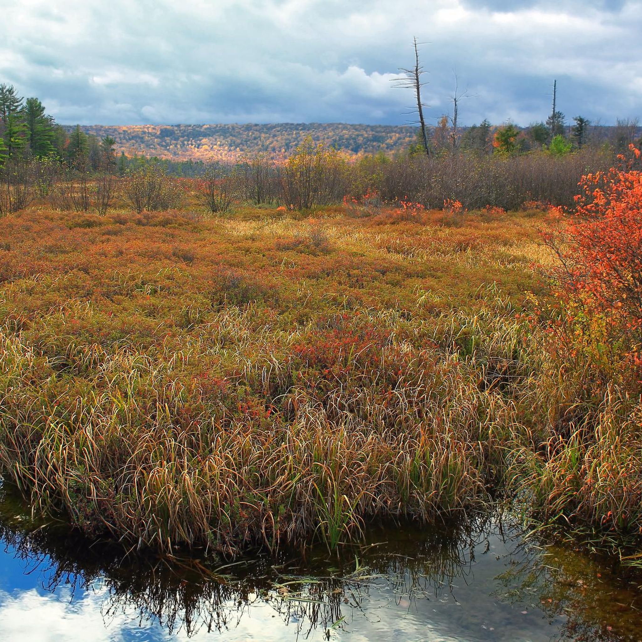
Black Moshannon Lake, located within Black Moshannon State Park, is a stunning 250-acre lake known for its natural beauty and recreational opportunities.
0
0

This 62-acre nature center includes a farmstead and a significantly larger wetland area. You can't bike the trails in the nature center itself, but it makes a great destination to bike to, or to bike around on the adjacent trails and roads.
0
0

Black Moshannon State Park provides access for a few outdoor activities across this 3,394-acre landscape. Black Moshannon Lake is one of the park's highlights, where trout can be caught and swimmers can enjoy themselves.
0
0
Black Moshannon Lake, located within Black Moshannon State Park, is a stunning 250-acre lake known for its natural beauty and recreational opportunities.
0
0
Black Moshannon Beach is a small, sandy beach. A popular time to visit is when the vibrant fall colors begin to turn in the trees. The beach offers convenient bathrooms, a playground for kids, parking, and picnic tables for visitors to enjoy. During the summer, you can take a dip in the water, which has a slight "tea-stained" hue likely caused by harmless tannins.
0
0
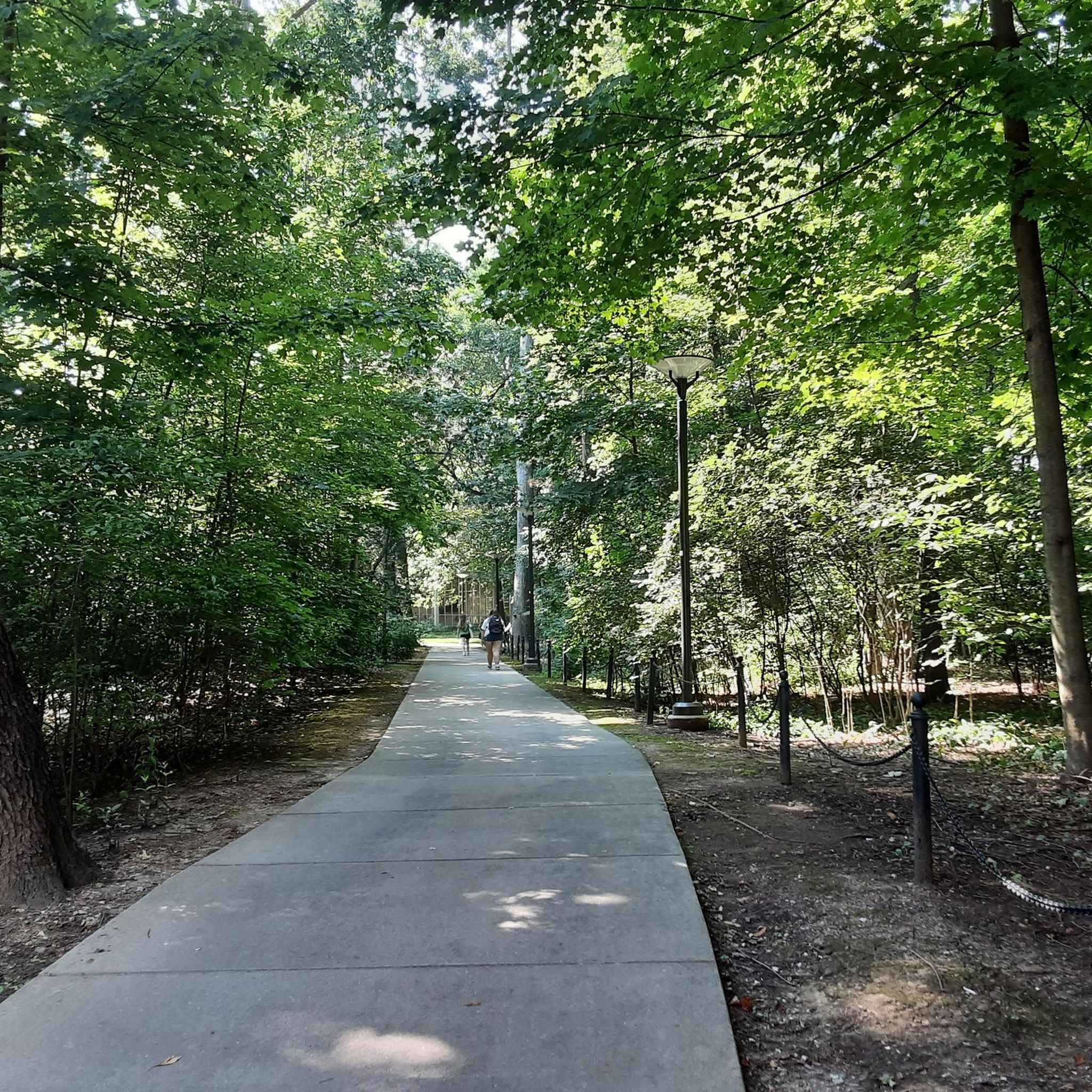
Holmes-Foster Park is a park with multiple access points. There are a few covered picnic areas, handy in case bikers are caught in a rain storm. In the summertime this area is shaded and has ample parking.
0
0
Frequently Asked Questions
How many road cycling routes are available around State College?
State College offers a wide variety of road cycling experiences, with over 25 routes available on komoot. These routes cater to all skill levels, from easy loops to challenging climbs, ensuring there's something for every rider.
What is the general terrain like for road cycling in State College?
The terrain around State College is diverse, characterized by rolling pastures, vast state forests, and prominent hills. You'll encounter both relatively flat sections and areas with sustained climbs, providing varied experiences across the region's extensive network of well-marked bike lanes and countryside roads.
What do other road cyclists enjoy the most about road cycling in State College?
The State College area is highly rated by the komoot community, with an average score of 4.3 stars from over 3 reviews. Riders often praise the diverse landscapes, from charming small towns to extensive state forests, and the variety of routes that cater to different ability levels.
When is the best time of year for road cycling in State College?
Spring and fall are generally considered the best times for road cycling in State College. The weather is typically milder, and the changing foliage in the surrounding state forests, such as Rothrock State Forest, offers particularly scenic rides. Summer can also be enjoyable, though it can be warmer.
Are there road cycling routes suitable for beginners in State College?
Yes, State College offers several easier road cycling routes. For instance, the State College Regional Airport loop from State College Area High School is an easy 17.2-mile route with moderate elevation, great for a quick workout or a less strenuous ride. The Linden Loop, an easy 19-mile recovery ride, is also a good option.
Where can I find challenging road cycling routes with significant elevation gain?
For experienced riders seeking a challenge, State College has routes with significant elevation gain. The Stone Forest loop is a difficult 57.9-mile route with over 3,300 feet of elevation gain, making it suitable for experienced cyclists. The Llama Loop is another moderately hard 35-mile ride with 1,200 feet of elevation.
What natural features or landmarks can I see along road cycling routes in State College?
Road cycling routes in State College can lead you past various natural features and landmarks. You might encounter the unique wetlands of Millbrook Marsh Nature Center, or pass by the beautiful gardens of The Arboretum at Penn State. The region is also surrounded by vast public lands, including parts of Rothrock State Forest.
Are there scenic overlooks accessible by road bike in the State College area?
Yes, the State College area, particularly within the surrounding state forests, offers scenic overlooks. While specific road cycling routes directly to all overlooks might vary, the Bald Eagle State Forest, for example, is home to stunning viewpoints like Bell's Majestic View and Penn's View, which can be incorporated into longer rides or visited nearby.
Are there circular road cycling routes available?
Many road cycling routes around State College are designed as loops, offering a convenient way to start and end your ride at the same point. Examples include the popular Stone Forest loop, the Blue Course Bikeway – Holmes-Foster Park loop, and the Centre Hall, Pennsylvania – Hort Woods loop.
Is parking available near road cycling trailheads in State College?
Yes, parking is generally available near many starting points for road cycling routes in State College. Routes often begin from locations like State College Area High School or other community points, where parking facilities are accessible. It's always a good idea to check specific route details for recommended parking areas.
Can I reach road cycling routes using public transport in State College?
State College has a local public transportation system, CATA Bus, which serves the borough and surrounding townships. While direct access to all rural road cycling trailheads via public transport might be limited, many routes start within or close to the town center, making them potentially accessible by bus or a short ride from a public transport stop.
Are there family-friendly road cycling options in State College?
For families looking for easier rides, State College offers options that are less demanding. The region includes well-paved surfaces and routes that pass through areas like the Millbrook Marsh Nature Center, which is known to be a great spot for families. Look for routes categorized as 'easy' for the most suitable options.
Are there cafes or pubs near road cycling routes in State College?
Yes, State College and its surrounding charming small towns offer various cafes and pubs where you can refuel or relax during or after your ride. Many routes pass through or near these towns, providing opportunities for a coffee stop or a meal. The robust cycling culture in the area also means many establishments are cyclist-friendly.
Most popular attractions around State College

Get inspired with the komoot mobile app


Explore more
Browse the best Road cycling routes in other regions.
