The best road cycling routes around Millersville
4.8
(40)
526
riders
104
rides
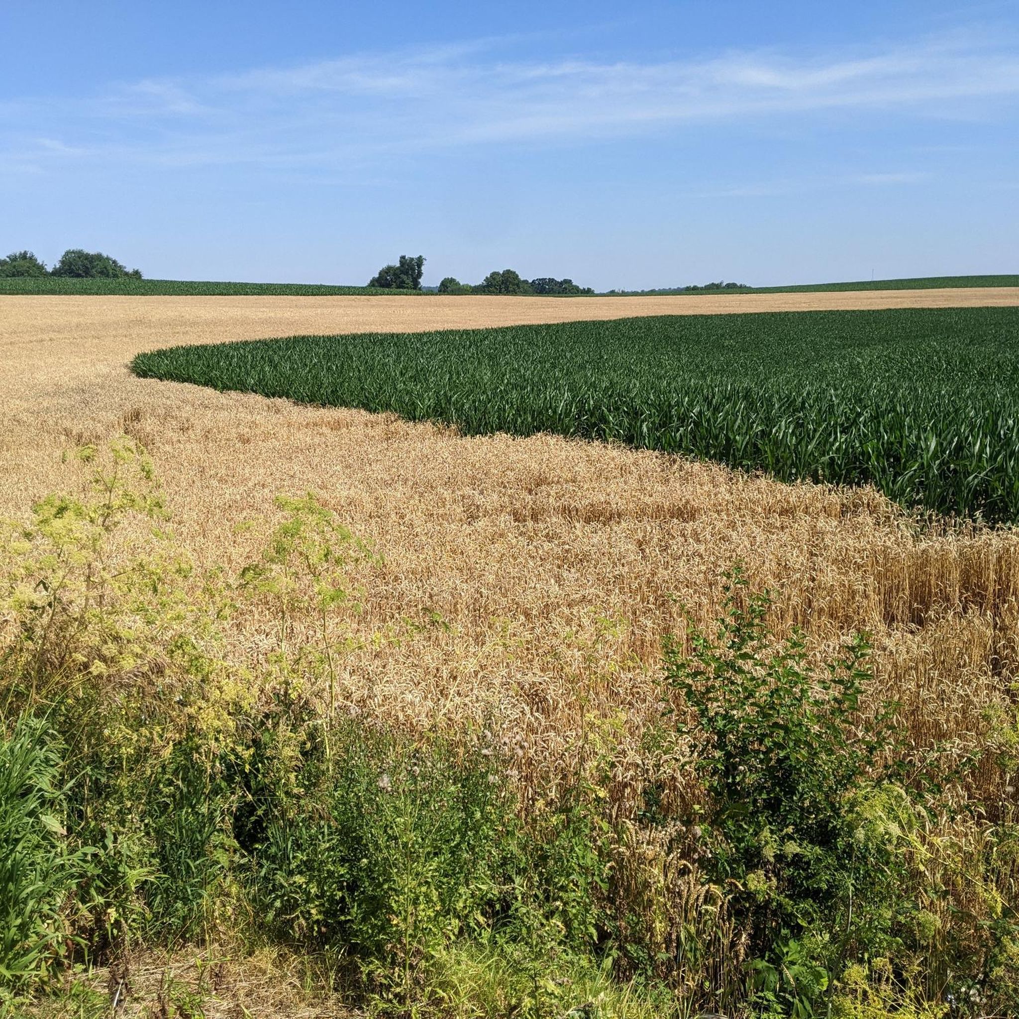
Road cycling routes around Millersville traverse a landscape characterized by picturesque Amish countryside, historic covered bridges, and rural roads. The region offers a mix of terrains, from rolling fields to areas alongside the Conestoga River, providing varied scenic experiences. Routes often feature well-paved surfaces and range in length and elevation, catering to different fitness levels. This area is known for its charming blend of natural beauty and historical landmarks.
Best road cycling routes around Millersville
- The most popular road cycling…
Last updated: October 15, 2026
5.0
(2)
31
riders
72.1km
03:27
530m
530m
Moderate road ride. Good fitness required. Mostly well-paved surfaces and easy to ride.
5.0
(1)
15
riders
69.2km
03:05
480m
480m
Moderate road ride. Good fitness required. Mostly well-paved surfaces and easy to ride.

18
riders
82.3km
03:46
680m
680m
Moderate road ride. Good fitness required. Mostly well-paved surfaces and easy to ride.
5.0
(5)
26
riders
Easy road ride. Great for any fitness level. Mostly well-paved surfaces and easy to ride.
21
riders
29.5km
01:25
200m
200m
Easy road ride. Great for any fitness level. Mostly well-paved surfaces and easy to ride.
Get access to more routes and recommendations from other explorers.
Already have an account?
Our route recommendations are based on thousands of hikes, rides, and runs completed by other people on komoot.
Start today with a free account
Your next adventure awaits.
Popular around Millersville


Tips from the Community

The bridge is currently closed due to truck attempting to cross bridge.
0
0

A small, unnamed covered bridge that crosses the Conestoga River where Cats Back Road meets Cider Mill Road.
0
0
At the junction of Log Cabin Road and Becker Road, hikers can continue southeast on Becker Road to keep hiking the Conestoga Trail System or head 0.2 miles northwest to Millport. Millport offers the Millport Conservancy, historic Millport Roller Mill, and Millport Dairy, where visitors can refill water and pick up local treats such as homemade cheese.
0
0
Sitting between the Conestoga River and Lititz Run, Pinetown Bridge Bnb is a peaceful Amish countryside retreat next to the historic Pinetown Covered Bridge and right on the Conestoga Trail System. Solo travelers and groups of up to 10 are welcome here. There are four guest rooms and a home-cooked breakfast served in the dining room, made with natural and locally sourced ingredients whenever available.
0
0
The Historic Metzler Homestead, dating back to 1786, is a stone house turned quaint bed and breakfast located 11 miles from Lancaster and 1.7 miles off the Conestoga Trail System. Each room is bookable 10 days in advance and has antique furnishings, free WiFi, and a private dining area equipped with a microwave, mini-fridge, and coffeemaker. Clean up and unwind in the reading and meditation room, or enjoy the comfort of their suite with a complimentary continental breakfast. Prepared by an Amish Mennonite cook, the morning spread includes homemade quiche or casserole made with free-range, organic eggs, fresh pastries, yogurt, fruit, and other handmade delights. The B&B is open seasonally from April through November.
0
0

Bridge Road is a lovely, rural-feeling road through fields of corn in Oregon, Pennsylvania.
0
0

The Lancaster County Central Park features diverse areas and trails including the Williamson Area with some very nice equestrian trails to the east and the Kiwanis Natural Area running through Mill Creek to the south. There are also some nice features like ball fields, a skate park, and a historic plantation. There are several trails that run through the different areas, some of the main attractions being the CVA Trail on the north side of the park, and the Mill Creek Trail and Conestoga Trail System on the south end of the park. There are many connecting trails, so it's good to have a map of the area and choose your own adventure as you go. It is worth noting that many of the smaller trails are not well marked, so it can be a little easy to get turned around if you don't know the area that well. There is parking at several entrances, but If you want to do a full park loop, it's best to start here at the parking area off Rockford Road and work your way south through the park.
0
0
Frequently Asked Questions
What kind of terrain can I expect on road cycling routes around Millersville?
Road cycling routes in the Millersville area primarily feature well-paved surfaces traversing picturesque Amish countryside and rural roads. You'll encounter a mix of rolling fields and areas alongside the Conestoga River, offering varied scenic experiences.
Are there road cycling routes suitable for beginners or families in Millersville?
Yes, Millersville offers a good selection of routes for various skill levels. Out of the 113 road cycling tours available, 24 are rated as easy, making them suitable for beginners or families looking for a more relaxed ride. For example, the Landis Woods Trails – Pinetown Amish Covered Bridge loop from Lancaster is a moderate option that is shorter and has less elevation gain.
What are the difficulty levels of road cycling routes in Millersville?
The road cycling routes around Millersville cater to a range of abilities. The majority, 86 out of 113, are rated as moderate, offering a good balance of distance and elevation. There are also 24 easy routes for more relaxed rides and 3 difficult routes for experienced cyclists seeking a challenge.
What natural features or landmarks can I see while road cycling in Millersville?
The region is rich in natural beauty and historical charm. You'll frequently encounter historic covered bridges, such as the Pinetown Bushong's Mill Covered Bridge and Zook's Mill Covered Bridge, which add a unique character to your ride. Many routes also offer views of the Conestoga River and traverse serene rural landscapes. For specific points of interest, consider visiting Lancaster County Central Park or the Historic Rock Ford Plantation.
Are there any circular road cycling routes in the Millersville area?
Yes, many of the road cycling routes around Millersville are designed as loops, allowing you to start and end at the same point. Examples include the Historic Metzler Homestead loop from Lancaster, which takes you through scenic areas, and the Pinetown Amish Covered Bridge – Zook's Mill Covered Bridge loop from Lancaster.
What is the best time of year for road cycling in Millersville?
The Millersville area is enjoyable for road cycling across multiple seasons. Spring and fall offer pleasant temperatures and beautiful scenery, with changing foliage in autumn. Summer can be warm but is still popular. Winter cycling is possible, but conditions may vary, so checking local weather is always recommended.
What do other road cyclists enjoy most about the routes in Millersville?
The road cycling routes in Millersville are highly rated by the komoot community, with an average score of 4.8 stars from over 30 reviews. Cyclists often praise the charming blend of natural beauty, the serene rural landscapes, and the unique historical dimension provided by the numerous covered bridges.
Are there options for parking near the road cycling routes in Millersville?
While specific parking information for each route varies, the Millersville area, being a hub for outdoor activities, generally offers accessible parking options near trailheads or starting points, especially in and around Lancaster. It's advisable to check the route details on komoot for specific parking recommendations for your chosen tour.
Can I access road cycling routes in Millersville using public transport?
Access to specific road cycling routes directly via public transport might be limited, as many routes traverse rural areas. However, public transport options are available to reach the general Millersville or Lancaster area, from where you can begin your ride. For detailed public transport connections, it's best to consult local transit schedules.
Are there any cafes or pubs along the road cycling routes in Millersville?
While the routes often pass through rural Amish countryside, many start or pass near towns like Lancaster, which offer various cafes, pubs, and eateries. It's a good idea to check the specific route you plan to take on komoot for points of interest, including potential refreshment stops, along the way.
How many road cycling routes are available around Millersville?
There are over 110 road cycling routes available around Millersville, offering a wide variety of options for different distances, elevations, and scenic experiences. This extensive network ensures there's a ride for every preference.
Most popular routes around Millersville
Most popular attractions around Millersville

Get inspired with the komoot mobile app


Explore more
Browse the best Road cycling routes in other regions.
